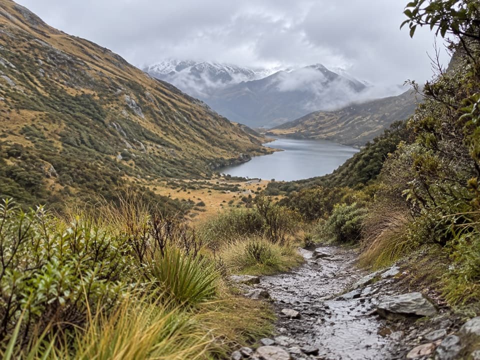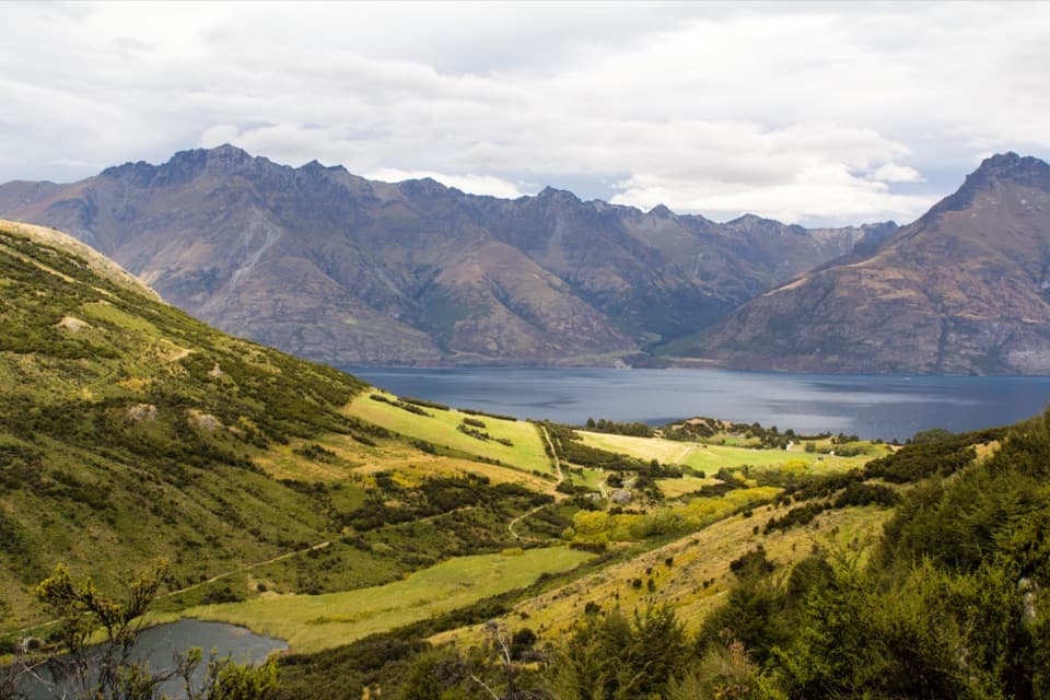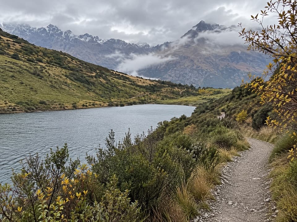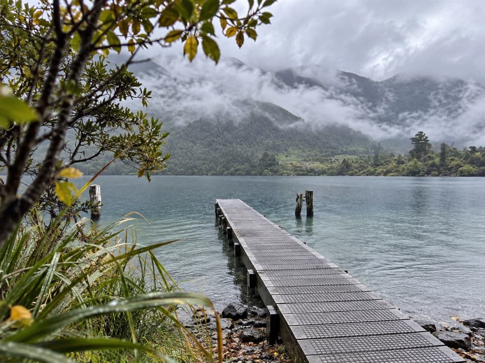
Sam Summers Hut in Queenstown-Lakes District, New Zealand

Sight · Queenstown-Lakes District, New Zealand

Sam Summers Hut

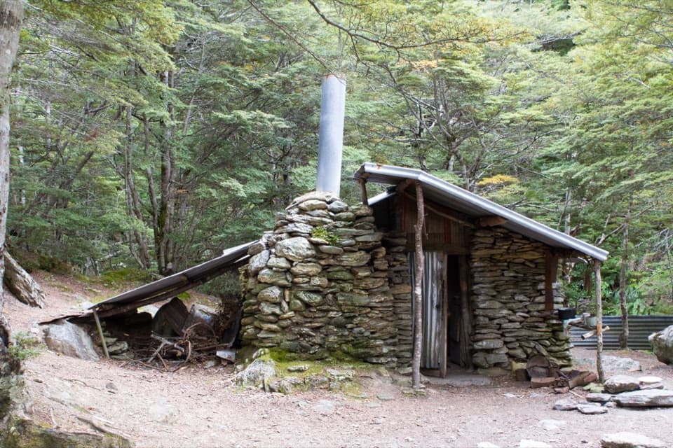
A 1930 mining hut tucked into forest beside a waterfall.

Photo: Oren Rozen / Wikimedia Commons / CC BY-SA 3.0

Type
Sight
Nearest trail
1.4 km
Audio stories
4 nearby
  • Restrooms

Hear the audio tour

Mt Crichton Loop and Sam Summers Hut
Download Parkwolf on the App StoreGet Parkwolf on Google Play

4.7 from 8,600+ ratings

Overview

About Sam Summers Hut

Why stop

  • A surviving stone hut and tailrace make the gold workings tangible.

Heads up

  • About an hour on foot to reach it from the loop, with steep drops along parts.

Map

Where it is

Loading the Queenstown-Lakes District map
Full map
SightSam Summers Hut-45.04766, 168.53162
Keep this map with you offline in the Parkwolf app

Plan your stop

Before you go

Getting there

Start at Mt Crichton car park, about 12 km from Queenstown on the Glenorchy–Queenstown Road. DOC estimates an hour's walk to the hut from the left side of the loop, so allow for a proper walk in. Old mine shafts and steep drop-offs occur along parts of the track. Do not cross Twelve Mile Creek when it is high or discoloured, especially after heavy rain. The track is not suitable for wheelchairs.


3 active Queenstown-Lakes District alerts

  • CautionRob Roy Track: stop at lower lookout during avalanche seasonFrom May to November, end your Rob Roy Track hike at the lower lookout: DOC strongly recommends this because the upper section crosses active avalanche paths.Official details
  • ClosureSkippers Bridge closed to all usersSkippers Bridge is closed to all vehicles, cyclists and pedestrians; stay off the bridge and obey closure signs and barriers.Official details
See all 3 alerts
A park ranger sits on a dash-mounted phone, talking, as Parkwolf’s Tour Guide plays “Army Cutworm Moths: A Grizzly Bear Buffet” on Grand Loop Road below Dunraven Pass in Yellowstone
Parkwolf Tour GuideThe highest, rockiest slopes around here are a summer buffet for grizzly bears.

Queenstown-Lakes District Tour Guide

Your drive to Sam Summers Hut, narrated.

Parkwolf is a GPS audio tour guide for Queenstown-Lakes District, New Zealand. As you drive, it chimes in with what’s ahead: hidden gems, upcoming stops, history, geology, and wildlife, right through your car’s speakers.

See the Queenstown-Lakes District audio tour

Recorded for this place

Mt Crichton Loop and Sam Summers Hut
0:00 / 0:24
“The Mount Crichton Loop car park is coming up, for a two-to-three-hour forest walk to Sam Summers Hut and a waterfall.”

Plays as you drive up to Sam Summers Hut in the Parkwolf Queenstown-Lakes District Tour Guide.

More stories near here in the app

  • Lake Dispute Walkway
  • Wilson Bay Reserve
  • Bob's Cove and the Lime Kiln
  • A Pigeon That Carries the Forest
  • 298 audio storiesacross Queenstown-Lakes District’s roads, triggered by GPS as you drive
  • Wildlife heatmapsfor Kea, Kākā, Kererū, and 13 more
  • Works offlinemaps, 155 trails, 129 places, and audio download before you lose signal
  • CarPlay readysimple controls built for the drive
★★★★★
“Fantastic app with many points of information… It’s great to just turn on while you’re driving and it gives you an audio tour of the national Park. We love it!!!!”
JMJamesApp Store review
Download Parkwolf on the App StoreGet Parkwolf on Google Play

4.7 from 8,600+ ratings

Guide

More about Sam Summers Hut

The hut on the loopSam Summers Hut is a small historic gold-mining shelter tucked into native bush beside a…

Sam Summers Hut is a small historic gold-mining shelter tucked into native bush beside a waterfall on Mt Crichton Loop Track. It is a walking stop, not a roadside attraction; go for the chance to see a miner's stone hut in its forest setting. For the defining view, look for a composition that brings the hut and waterfall together.

Sam Summers and the hutSam Summers and his brothers built the hut from schist and iron in 1930, using it for shelter…

Sam Summers and his brothers built the hut from schist and iron in 1930, using it for shelter while sluicing for gold nearby. During the Great Depression, Sam spent ten years prospecting and hunting along Twelve Mile Creek. His vegetable garden and strawberry beds helped provide for his sister and nine brothers.

Find the mining tracesThe Twelve Mile Creek gorge was worked intensively for gold, and its sluicing remains visible.

The Twelve Mile Creek gorge was worked intensively for gold, and its sluicing remains visible. A short side track below the hut reaches a rock fissure that miners once used as a tailrace. The hut, gorge and fissure make the walk a compact look at how people worked this creek for gold.

A day-use stopThe hut is for day visits only, and fires are not allowed. There is a toilet at the hut.

The hut is for day visits only, and fires are not allowed. There is a toilet at the hut. No drinking-water supply or food service is confirmed here, so carry what you need for the walk.

Wildlife

Wildlife in Queenstown-Lakes District

All Queenstown-Lakes District wildlife maps

Sighting maps show where each species has been reported across Queenstown-Lakes District. Wildlife moves, so no sighting is guaranteed.

Keep exploring

Near Sam Summers Hut

See it all on the map

Trails nearby

More stops nearby

Parkwolf’s Queenstown-Lakes District ranking

Top sights in Queenstown-Lakes District

All 129 places
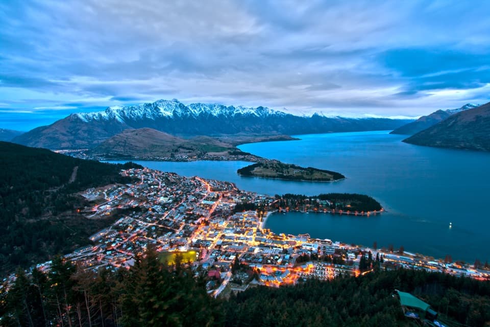
  1. 1Skyline QueenstownSight
  2. 2TSS EarnslawSight
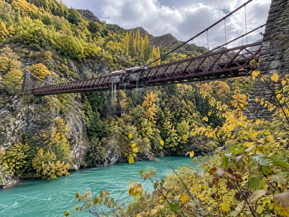
  3. 3Kawarau Bridge and Bungy CentreSight
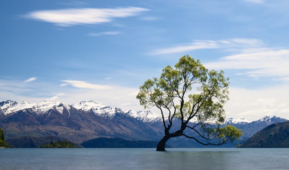
  4. 4That Wānaka TreeSight
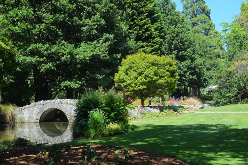
  5. 5Queenstown GardensSight
  6. 6Shotover JetSight

Take Parkwolf to Queenstown-Lakes District.

The audio tour guide for the drive, plus offline maps, trails, and wildlife heatmaps for when the signal drops.

4.7 from 8,600+ ratings

Download Parkwolf on the App StoreGet Parkwolf on Google Play