
Place · 0.4 mi away
Moderate
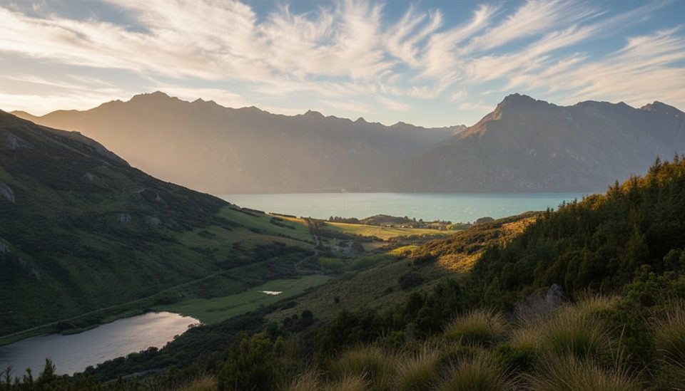
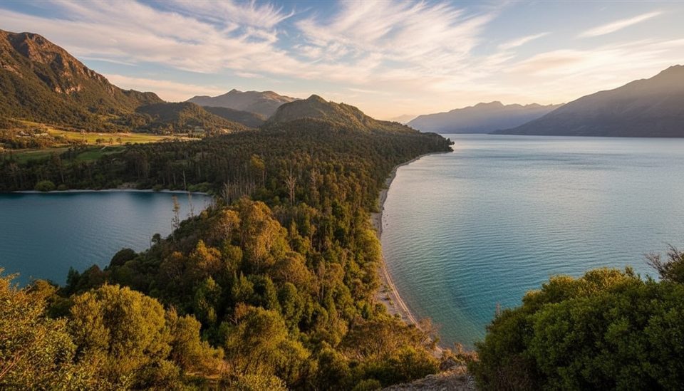
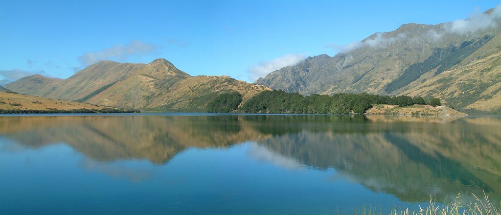
A locals' classic just 12 km from Queenstown, this well‑formed 7.6–8 km loop (about 5 miles total) threads cool red and mountain beech forest, follows bright Twelve Mile Creek, and climbs to open views toward Lake Dispute and Lake Wakatipu. Expect an easy–moderate outing with roughly 300–370 m of gain and plenty to look at along the way.
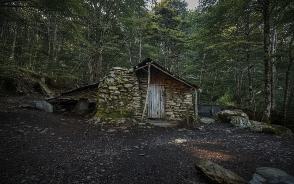
The draw here is the mash‑up of scenery and history. You can step inside a historic tailrace tunnel carved during the gold boom, poke around Sam Summers Hut (built circa 1930; day use only), and wander past sluiced canyons—all wrapped in native bush with a small waterfall near the hut. It’s engaging for kids and still varied enough for seasoned hikers.
Walk clockwise for a gentler overall flow (the steeper section comes earlier, the descent is kinder). From the signed car park, cross the road to start, then meander beside Twelve Mile Creek to the short spur for the tunnel and on to Sam Summers Hut and the nearby waterfall/bridge. A steady climb gains a more open ridge with a signed link to the Lake Dispute Walkway before descending back to the road. Family shortcut: from the left‑hand branch of the loop, it’s about an hour to the hut and waterfall before turning around.
This track is walkable year‑round and rarely snows, but summer (December–February) brings the most settled weather. Winter can mean icy patches in shaded sections—traction and warm layers help. Start early or later in the afternoon for softer light in the forest and better odds of a quieter loop.
The trailhead is a signed car park on the Glenorchy–Queenstown Road (about 12 km from town). Toilets are at the car park and at Sam Summers Hut. No mountain biking. Dogs are allowed on leash. Carry your own water—do not drink from streams due to periodic 1080 operations. Bring a small light if you want to comfortably walk the tunnel.
Old mine shafts and a few narrow sections with drop‑offs demand attention with kids. A bridge at the Maori Gully confluence was destroyed by flooding; do not attempt to cross if the creek is high or discoloured. A smaller bridge has also been reported washed out at times—usually passable at low flows but impassable after rain. Check DOC track alerts before you go, especially after storms.
Signed Mt Crichton car park on the Glenorchy–Queenstown Road (~12 km from Queenstown); cross the road to start. Toilets at the car park.
Old mine shafts and narrow drop‑offs; a flood‑damaged bridge at the Maori Gully confluence—do not cross if the creek is high or discoloured. Streams are not safe to drink due to 1080 operations.
Place · 0.4 mi away
Place · 0.6 mi away
Place · 1.1 mi away
Place · 1.4 mi away
Moderate · 0 mi away
Easy · 0.4 mi away
Easy · 1.4 mi away
Easy · 5 mi away

Parkwolf Tour Guide
