Parking
Park at Moke Lake Reserve by the campsite, the loop’s start. Access is via steep, narrow Moke Lake Road; its final roughly 8 km is unsealed, and DOC warns winter access can require 4WD.
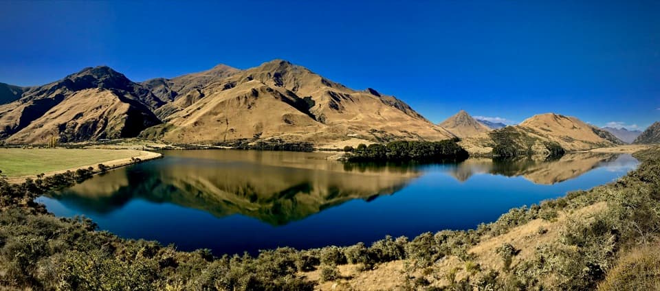
Queenstown-Lakes District, New Zealand, OT
A lake circuit with a lookout and a short wetland boardwalk.
Photo: jbreiti, Moke Lake New Zealand, CC BY-SA 2.0, via Flickr
Overview
Map & elevation
Plan your hike

The highest, rockiest slopes around here are a summer buffet for grizzly bears.
Queenstown-Lakes District Tour Guide
Parkwolf is a GPS audio tour guide for Queenstown-Lakes District, New Zealand. As you drive, it chimes in with what’s ahead: hidden gems, upcoming stops, history, geology, and wildlife, right through your car’s speakers.
See the Queenstown-Lakes District audio tourRecorded for this trailhead
Moke Lake“You're nearing Moke Lake, a small, curved lake surrounded by mountains. The shore near the campsite gives you a good view without committing to a long walk, so I'd stop even if you only have a little time.”
Plays as you drive up to this trailhead in the Parkwolf Queenstown-Lakes District Tour Guide.
More stories near here in the app
“Fantastic app with many points of information… It’s great to just turn on while you’re driving and it gives you an audio tour of the national Park. We love it!!!!”


Trail guide
Moke Lake Loop Track is a 6 km (3.7 mi) circuit from Moke Lake Campsite, wrapping around the lake through grassland beneath a ring of mountains. DOC allows 2–3 hours and grades it easy to intermediate; plan toward the longer end if you want time at the lookout and southern wetland boardwalk. Choose this for a proper shoreline walk rather than a quick pullout view. The gentle ups and downs and one short lookout climb give the route some shape, but it is not a summit slog. You finish where you started, at the campsite.
From the campsite, cross a small wooden bridge and take the western side around the lake. The track stays close to the water through open grassland, with a short rise to a lookout over the lake. Continue to the southern end, where a short boardwalk protects an important wetland, then follow the remaining shore back toward the campsite. The bridge, lookout and wetland are all on the circuit, not detours. Keep the full loop in mind when planning the walk; turning back early changes the distance and means retracing the shore.
The wooded peninsula is a useful landmark as you circle the water, and the view keeps changing as the shore bends around it. The lookout lifts you above the lake for a wider look at the mountain basin; from the lower shore, the water and reflections feel closer. Calm water can mirror the surrounding peaks, while wind breaks up the reflections. For a photo, frame the peninsula with the mountains behind it from the lookout and leave some water in the foreground so the picture shows the lake as well as the skyline.
The route is easy overall, but it is not a dead-flat promenade. Expect rolling ground and a short climb, with much of the walk in an open valley. Wind and rain can change the feel of the exposed lakeshore, so bring a warm layer and rain protection even when the outing looks simple on paper. The southern boardwalk is short; it is there to protect the wetland, so stay on the built route rather than stepping onto the surrounding ground.
The access road is the main commitment. From Glenorchy-Queenstown Road, turn onto Moke Lake Road; it is steep, narrow and winding before becoming unsealed gravel for about 8 km. DOC warns that winter access can be tricky and 4WD-only, so check the road before setting out in that season and allow time for the climb. Moke Lake Campsite is the trail start and has toilets; DOC turns the water off in winter. Overnight camping requires a campsite booking. Dogs are not allowed. Mountain bikes must stay to the western side of the lake because erosion has closed the peninsula and far-side sections; follow the signs if sharing the track.
Wildlife
 194 sightingsKeaMost seen around 5 PMSighting map
 18 sightingsKākāMost seen around 6 PMSighting map
 198 sightingsKererūMost seen around 10 AMSighting map
 53 sightingsWekaMost seen around 6 PMSighting map
 245 sightingsTūīMost seen around 8 AMSighting map
 98 sightingsBellbirdMost seen around 6 AMSighting map
Sighting maps show where each species has been reported across Queenstown-Lakes District. Wildlife moves, so no sighting is guaranteed.
Keep exploring
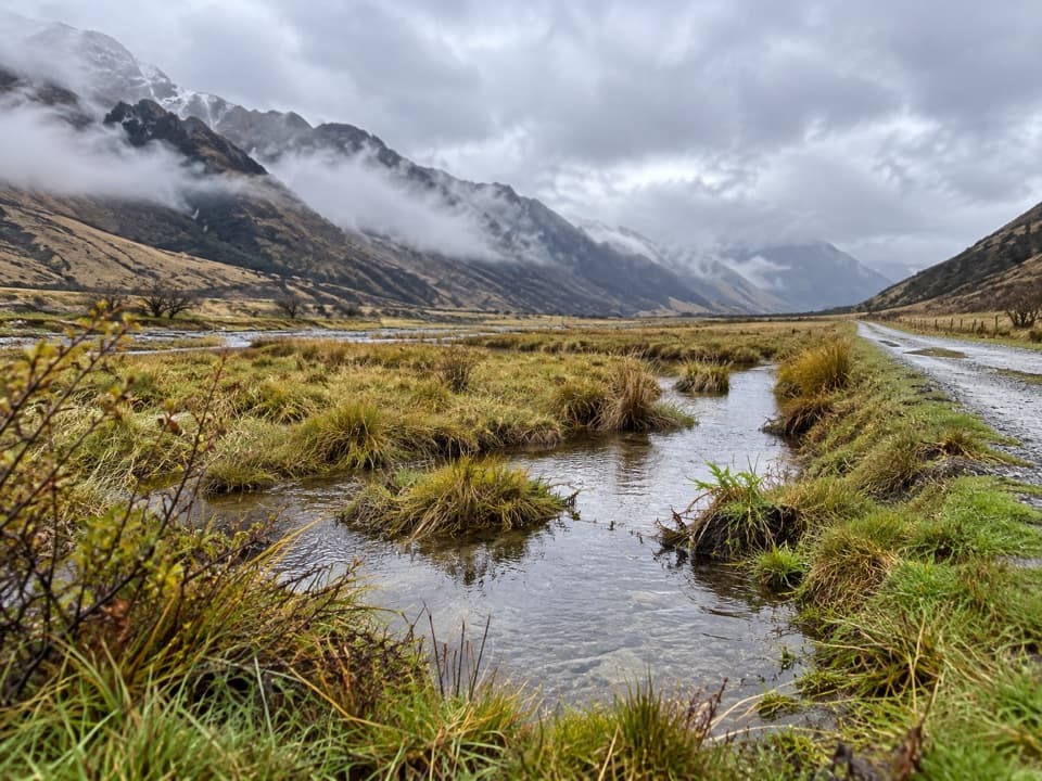 ModerateMoonlight Track13.5 km · 4.5 hr · 0.2 km awayFarm road climbs, Sefferstown remnants and a narrow Shotover-side traverse
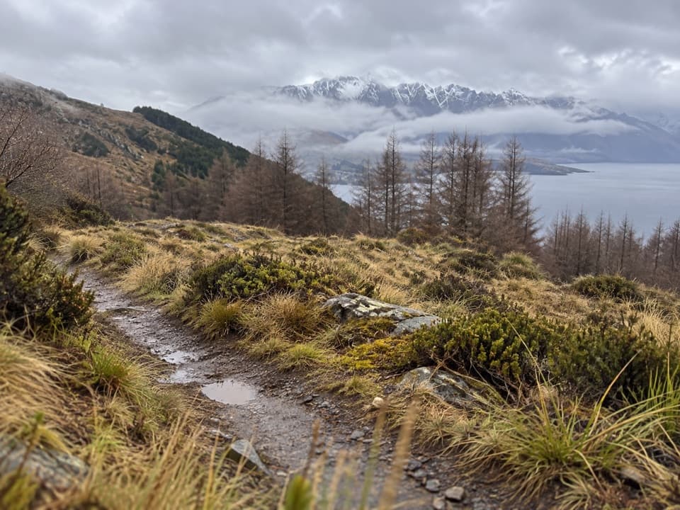 ModerateFernhill Loop Track7.6 km · 2.8 hr · 6.6 km awaySteep forest climb, then tussock and Lake Wakatipu views.
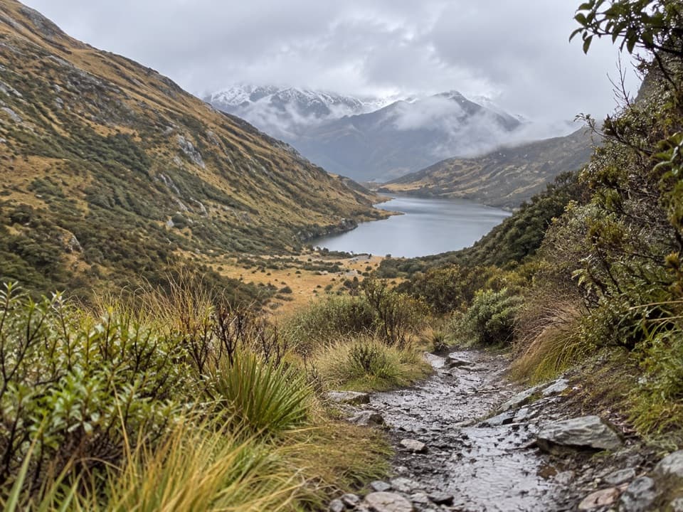 ModerateLake Dispute to Moke Lake Track5.8 km · 2.5 hr · 6.7 km awayA rocky saddle links Lake Dispute and Moke Lake.
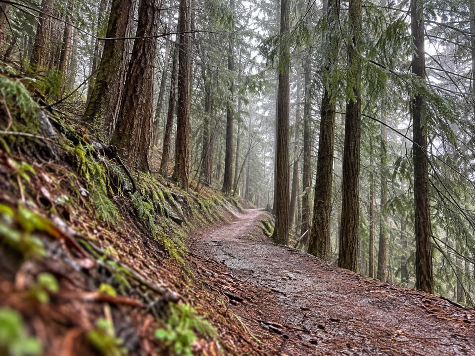 EasySkyline Loop Track1.1 km · 30 min · 6.7 km awayA quick, easy bush loop above Queenstown on Bob's Peak.
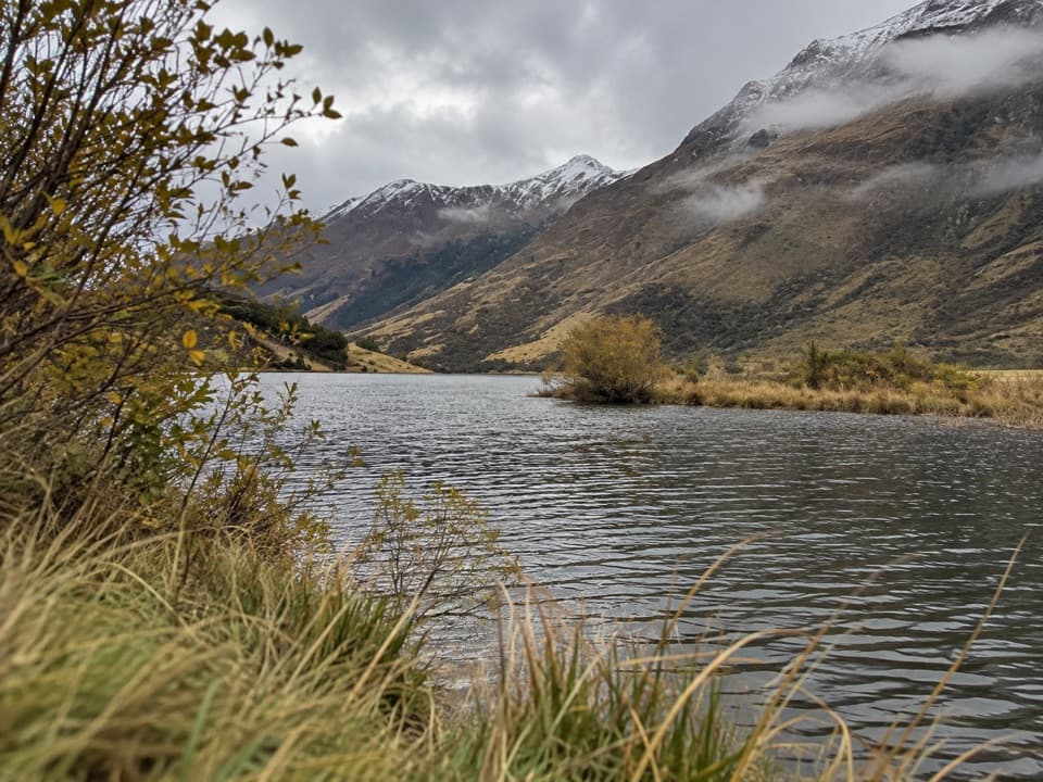 ModerateSeven Mile Point Track3 km · 1.5 hr · 7 km awayA lakeside start climbs through bush to a broad Wilson Bay view.
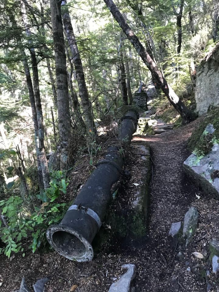 ModerateOne Mile Creek Walk1.9 km · 1.3 hr · 7.2 km awayA short creek climb to a historic dam and waterfall.
 ChallengingBen Lomond Track14 km · 7.5 hr · 7.3 km awayA long climb from town ends above Lake Whakatipu and Queenstown.
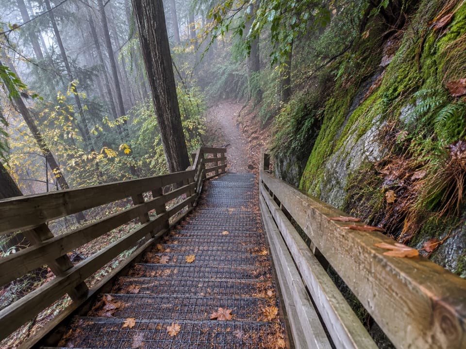 ModerateTiki Trail2 km · 1 hr · 7.3 km awayA steep, shaded climb to Queenstown's famous Skyline view.
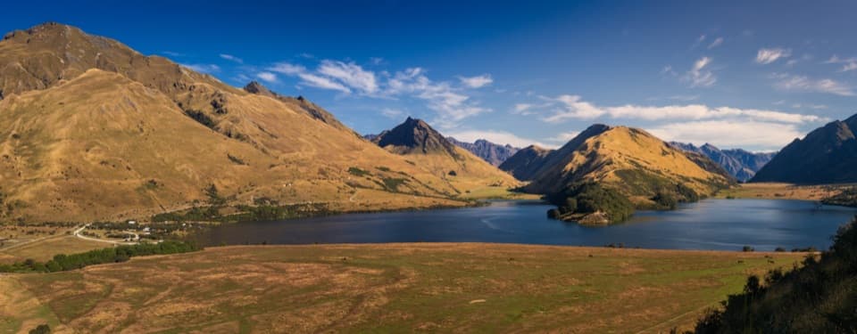 Campground · At the trailheadMoke Lake CampsiteA lakeside camp with mountain views and a rough gravel approach.
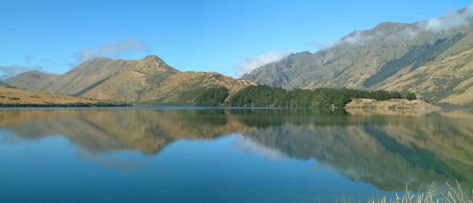 Sight · 0.1 km awayMoke LakeA six-kilometre loop and mirror views when the wind drops.Sight · 3.5 km awayBen Lomond SummitEarn a Lake Whakatipu panorama after a hard alpine climb.
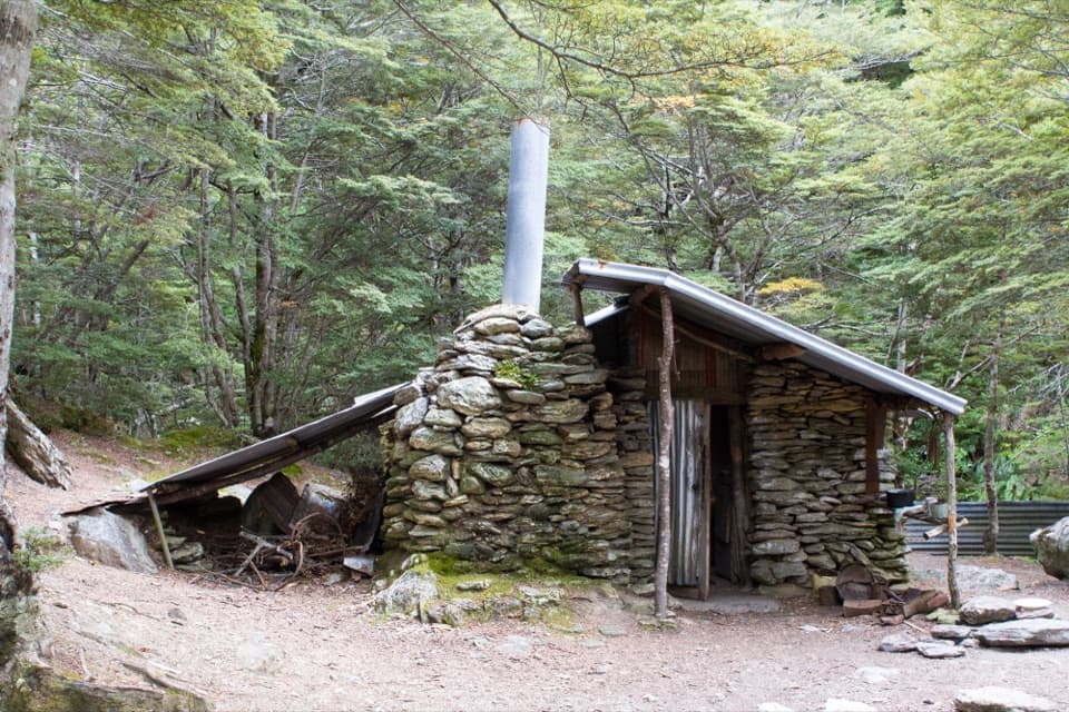 Sight · 6.4 km awaySam Summers HutA 1930 mining hut tucked into forest beside a waterfall.
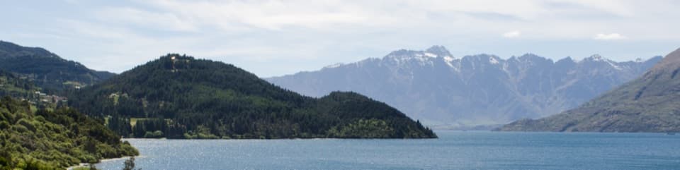 Sight · 6.7 km awaySeven Mile PointA lakeside lookout with a 6 km return walk to Wilson Bay.
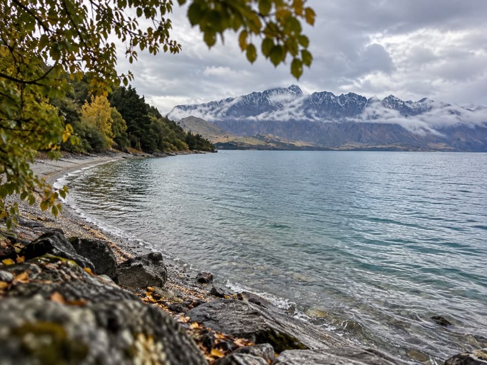 Beach · 6.8 km awaySunshine BayA quiet lake stop with a front-row view of Cecil Peak.
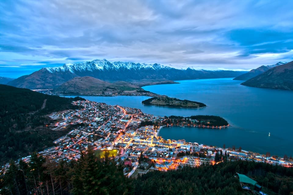 Sight · 7.3 km awaySkyline QueenstownGondola views over Queenstown, with a luge and dining at the top.
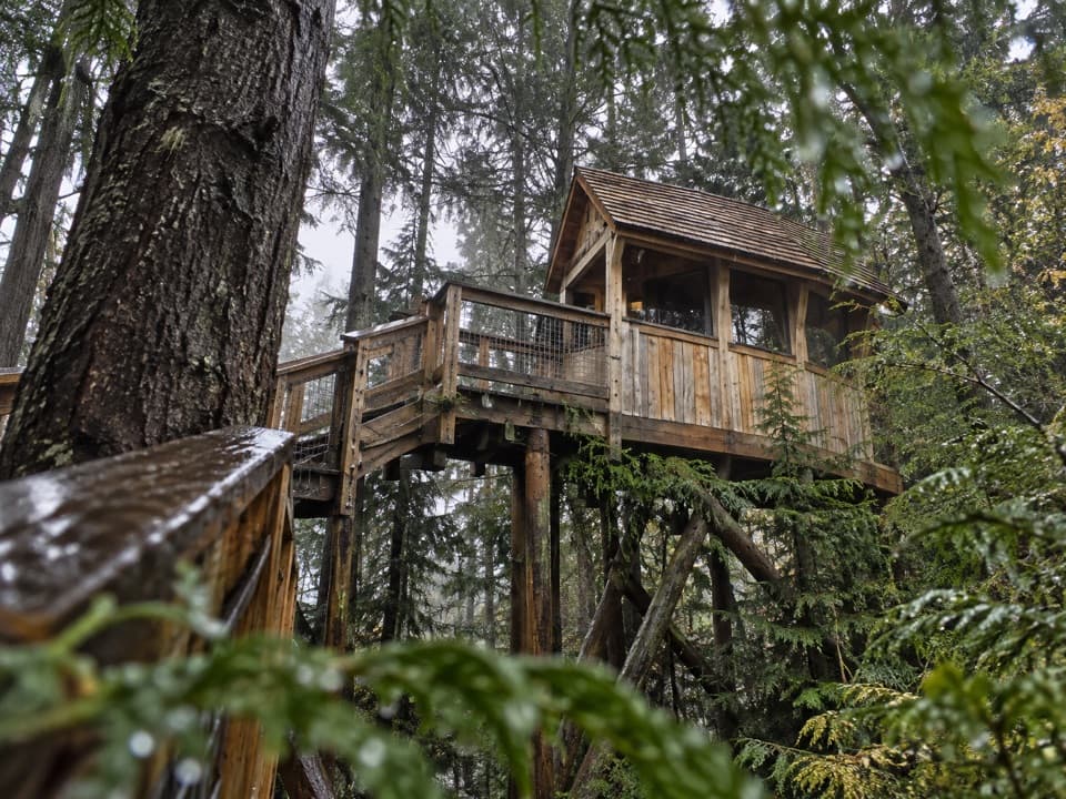 Sight · 7.3 km awayZiptrek EcotoursGuided ziplines through forest above Queenstown.
Parkwolf’s Queenstown-Lakes District ranking

The audio tour guide for the drive, plus offline maps, trails, and wildlife heatmaps for when the signal drops.




