Parking
Start at the named Wilson Bay car park on the Glenorchy-Queenstown Road. The DOC route finishes at the Seven Mile Recreation Reserve car park. Arrange a pickup or walk back along the same track.
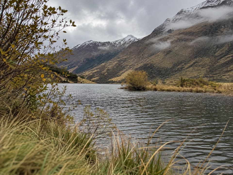
Queenstown-Lakes District, New Zealand, OT
A lakeside start climbs through bush to a broad Wilson Bay view.
Overview
Map & elevation
Plan your hike

The highest, rockiest slopes around here are a summer buffet for grizzly bears.
Queenstown-Lakes District Tour Guide
Parkwolf is a GPS audio tour guide for Queenstown-Lakes District, New Zealand. As you drive, it chimes in with what’s ahead: hidden gems, upcoming stops, history, geology, and wildlife, right through your car’s speakers.
See the Queenstown-Lakes District audio tourRecorded for this trailhead
Wilson Bay Reserve“Wilson Bay Reserve is coming up, with a beach and parking right beside Lake Wakatipu. This is a good choice for a brief pause on the Glenorchy road: you can be down by the water with very little walking.”
Plays as you drive up to this trailhead in the Parkwolf Queenstown-Lakes District Tour Guide.
More stories near here in the app
“Fantastic app with many points of information… It’s great to just turn on while you’re driving and it gives you an audio tour of the national Park. We love it!!!!”


Trail guide
Seven Mile Point Track is a 3 km one-way walk from Wilson Bay on Lake Wakatipu to the Seven Mile Recreation Reserve car park. It starts beside the lake, climbs through pine forest and regenerating native bush to Kirks Terrace, then drops to the reserve. DOC allows about 1 hour 30 minutes one way. Without a pickup at the far end, plan to retrace the route: about 6 km and three hours for the return walk.
From Wilson Bay, the track follows the lakeside before turning uphill. The shore stretch passes a small beach and jetty; rocky switchbacks do the work of the climb. After the ascent, the bush track rolls and then descends toward the Seven Mile end. The stony section can be muddy after rain, so expect slower footing when it is wet.
Kirks Terrace is the named viewpoint, with a look across Wilson Bay. It is the payoff for the climb. The walk also reaches a separate uphill bike-access route into the Seven Mile Scenic Reserve Mountain Bike Park; the track in this record ends at the recreation-reserve car park, not on the bike-park loops.
Walkers and mountain bikers use this route, so watch and listen for riders on shared sections. Follow DOC Track signs where routes branch, and keep dogs on a lead. The two ends are about 3 km apart, so decide in advance whether you have a pickup or will walk back.
Wildlife
 194 sightingsKeaMost seen around 5 PMSighting map
 18 sightingsKākāMost seen around 6 PMSighting map
 198 sightingsKererūMost seen around 10 AMSighting map
 53 sightingsWekaMost seen around 6 PMSighting map
 245 sightingsTūīMost seen around 8 AMSighting map
 98 sightingsBellbirdMost seen around 6 AMSighting map
Sighting maps show where each species has been reported across Queenstown-Lakes District. Wildlife moves, so no sighting is guaranteed.
Keep exploring
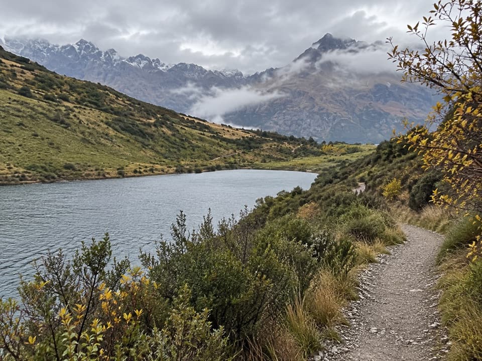 ModerateLake Dispute Walkway6.1 km · 1.8 hr · 1.2 km awayA steep shrubland climb to a high-country trout lake.
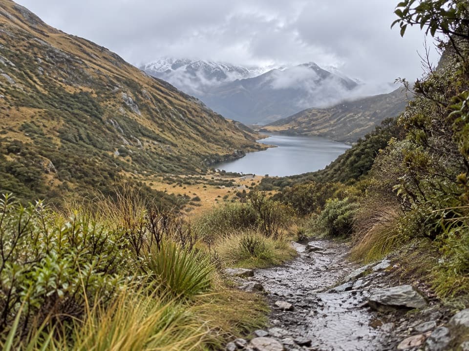 ModerateLake Dispute to Moke Lake Track5.8 km · 2.5 hr · 1.8 km awayA rocky saddle links Lake Dispute and Moke Lake.
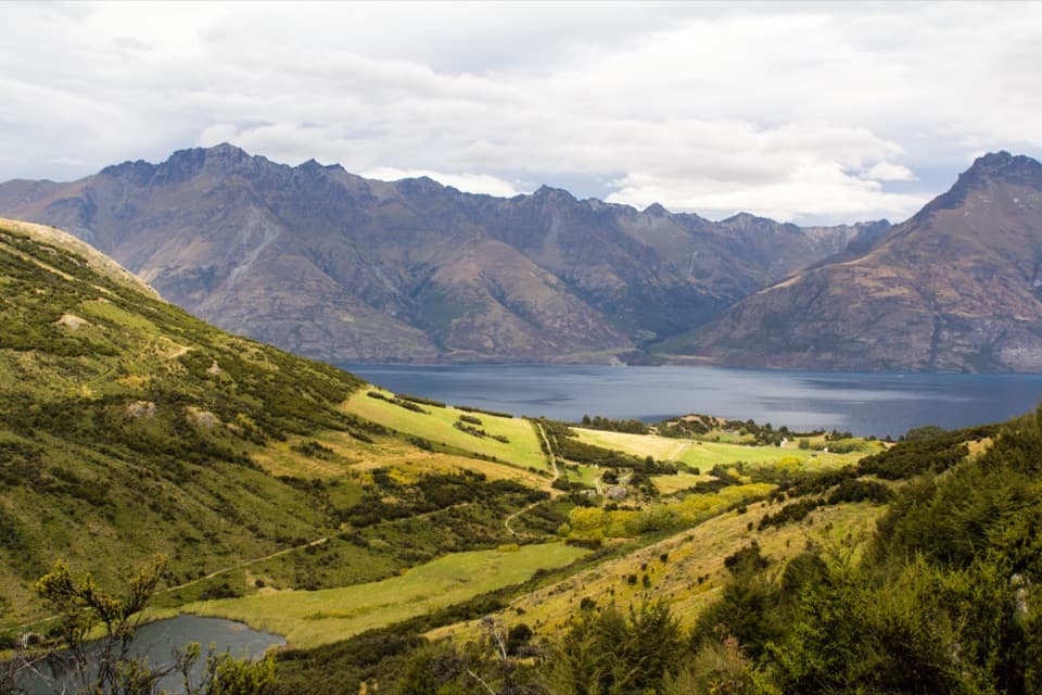 ModerateMt Crichton Loop Track7.4 km · 2.8 hr · 2.5 km awayA hut, waterfall and gold miners’ tail-race fissure in the forest.
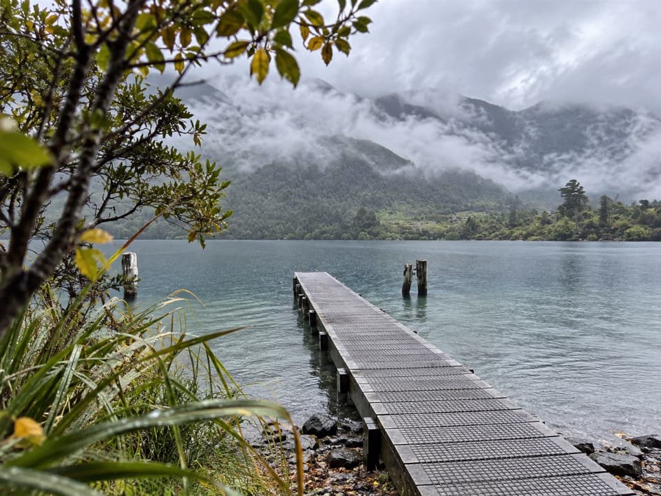 EasyBob's Cove Track3 km · 1 hr · 4.7 km awayShort bush walk, clear water, lake views, and a historic lime kiln.
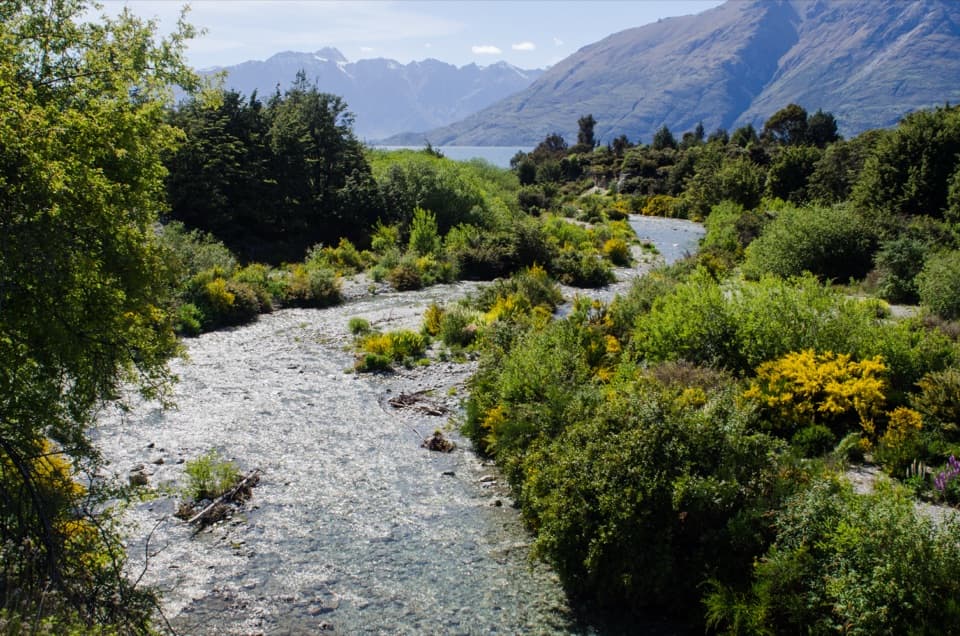 ModerateBobs Cove Track to Twelve Mile Delta6 km · 1.5 hr · 4.7 km awayA lakeside walk with a historic kiln and an Ithilien film site.
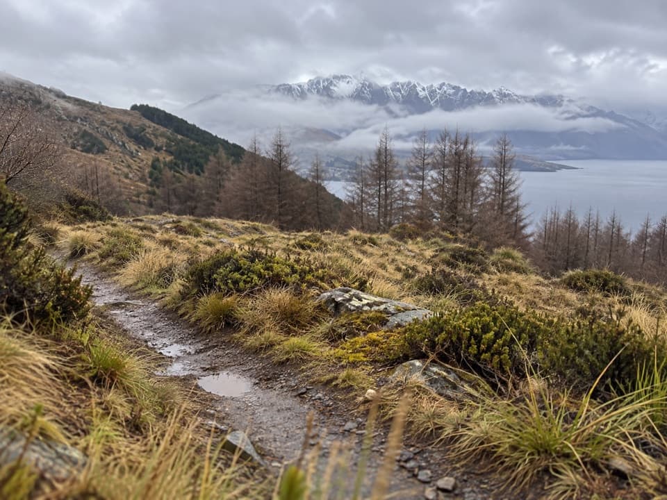 ModerateFernhill Loop Track7.6 km · 2.8 hr · 6.3 km awaySteep forest climb, then tussock and Lake Wakatipu views.
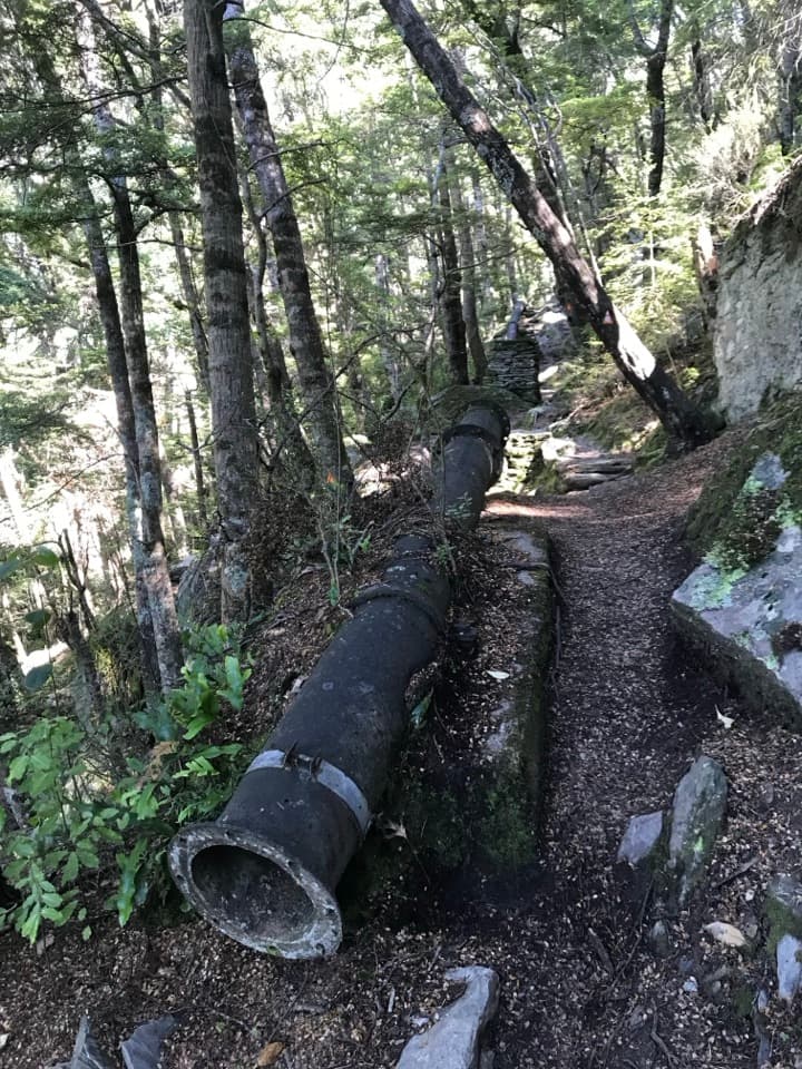 ModerateOne Mile Creek Walk1.9 km · 1.3 hr · 6.7 km awayA short creek climb to a historic dam and waterfall.
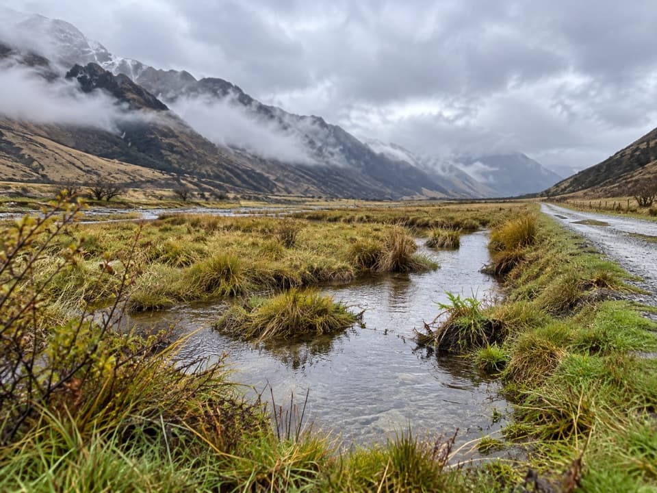 ModerateMoonlight Track13.5 km · 4.5 hr · 6.9 km awayFarm road climbs, Sefferstown remnants and a narrow Shotover-side traverse
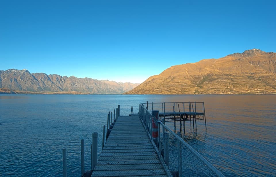 Beach · 1.1 km awayWilson Bay ReserveA quick Lake Wakatipu stop right beside the water.
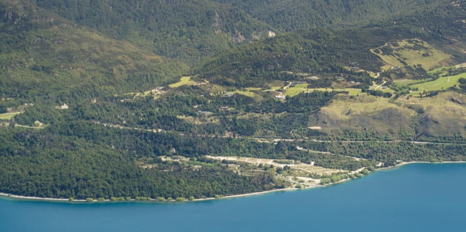 Campground · 1.8 km awayTwelve Mile Delta CampsiteLakefront camping with a real Ithilien film-location connection.
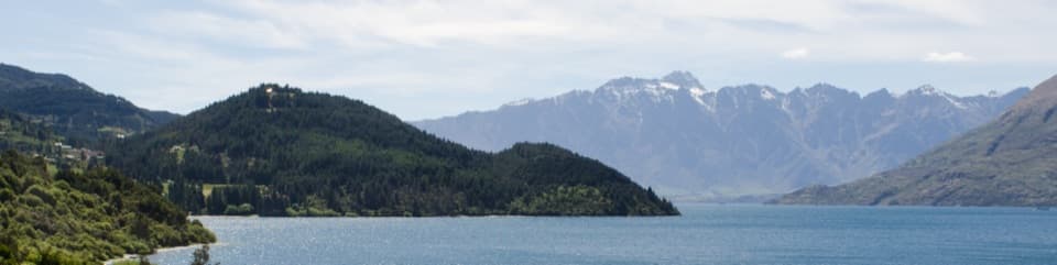 Sight · 1.9 km awaySeven Mile PointA lakeside lookout with a 6 km return walk to Wilson Bay.
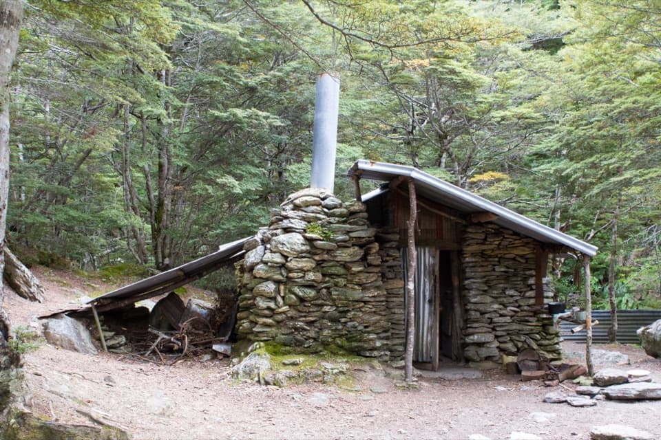 Sight · 3.2 km awaySam Summers HutA 1930 mining hut tucked into forest beside a waterfall.
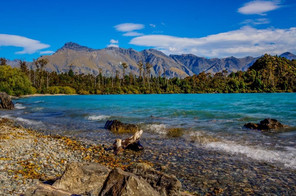 Beach · 4.4 km awayBob’s CoveA lakeside swim stop with an 1800s lime-kiln story.
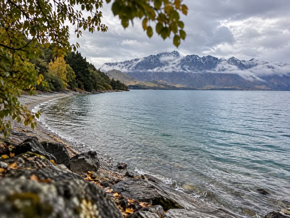 Beach · 4.6 km awaySunshine BayA quiet lake stop with a front-row view of Cecil Peak.
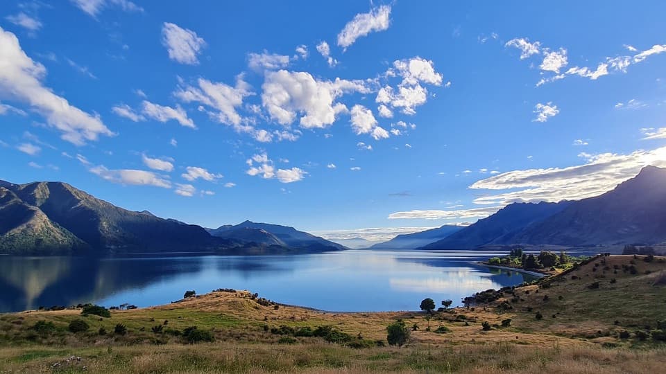 Campground · 5.2 km awayBeach Point at Walter Peak CampsiteTent camping on Lake Wakatipu, reached by boat, foot, or bike.
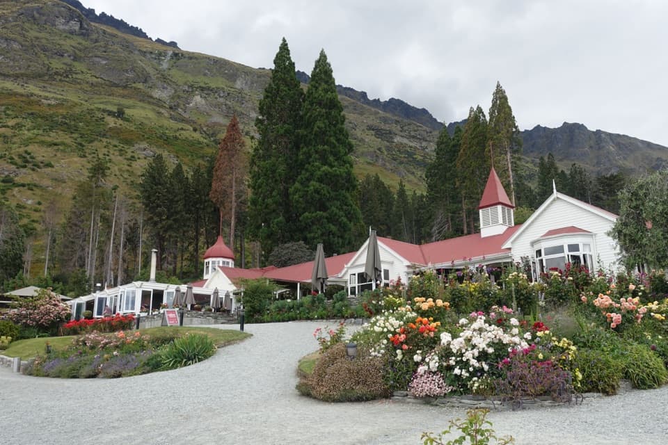 Sight · 6 km awayWalter Peak High Country FarmA working farm and homestead reached by boat across the lake.
Parkwolf’s Queenstown-Lakes District ranking

The audio tour guide for the drive, plus offline maps, trails, and wildlife heatmaps for when the signal drops.





