Parking
Start at the McChesney Road/Moonlight Track trailhead in Arthur's Point only where legally permitted, and arrange transport from the Moke Lake campsite. The Moke Lake access road is gravel.
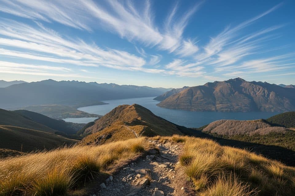
Queenstown-Lakes District, New Zealand, OT
Historic one-way traverse from Arthur's Point to Moke Lake
Overview
Moonlight Track is a one-way, point-to-point route between the McChesney Road trailhead at Arthur's Point and Moke Lake campsite. It follows the historic Moonlight goldfields route through open country, with views toward the Southern Alps and the Shotover River. The full traverse is about 14 km (8.7 miles) one way and usually takes 4–5 hours; it is not a loop, so arrange transport at the far end.
Map & elevation
Plan your hike

The highest, rockiest slopes around here are a summer buffet for grizzly bears.
Queenstown-Lakes District Tour Guide
Parkwolf is a GPS audio tour guide for Queenstown-Lakes District, New Zealand. As you drive, it chimes in with what’s ahead: hidden gems, upcoming stops, history, geology, and wildlife, right through your car’s speakers.
See the Queenstown-Lakes District audio tourRecorded for this trailhead
Moonlight Track: A Backcountry Gold Rush Route“Coming up near Arthur's Point is one end of the Moonlight Track. This is a challenging, point-to-point backcountry hike that links this area with the Ben Lomond Saddle, high above Queenstown.”
Plays as you drive up to this trailhead in the Parkwolf Queenstown-Lakes District Tour Guide.
More stories near here in the app
“Fantastic app with many points of information… It’s great to just turn on while you’re driving and it gives you an audio tour of the national Park. We love it!!!!”


Trail guide
From the Arthur's Point trailhead, follow Moonlight Track through the Ben Lomond Station country toward Moke Lake, passing the Sefferstown gold-mining remains and the Moke Creek stone school site. The researched route finishes at the Moke Lake campsite access. Do not substitute the Ben Lomond Track from Queenstown, the Ben Lomond summit or saddle, the Moke Lake Loop, or the Lake Dispute track: those are different routes or optional connections.
Expect a long, quiet traverse on a mix of formed track, gravel/farm road and rougher path, with muddy sections and small stream crossings possible. The route crosses private working land, so stay on the marked line, leave gates as found and keep clear of stock. Alpine weather can change quickly; carry navigation, food, water, sun protection and warm layers. Cell coverage is not continuous.
The route is point-to-point. Start at the McChesney Road/Moonlight Track trailhead in Arthur's Point and arrange a pickup or shuttle from Moke Lake campsite. The Moke Lake access road is gravel. Dogs are not assumed to be permitted across the whole route or at the campsite; check current land-manager and station rules before setting out.
Wildlife
 189 sightingsKeaMost seen around 5 PMSighting map
 18 sightingsKākāMost seen around 6 PMSighting map
 195 sightingsKererūMost seen around 10 AMSighting map
 48 sightingsWekaMost seen around 6 PMSighting map
 239 sightingsTūīMost seen around 8 AMSighting map
 97 sightingsBellbirdMost seen around 6 AMSighting map
Sighting maps show where each species has been reported across Queenstown-Lakes District. Wildlife moves, so no sighting is guaranteed.
Keep exploring
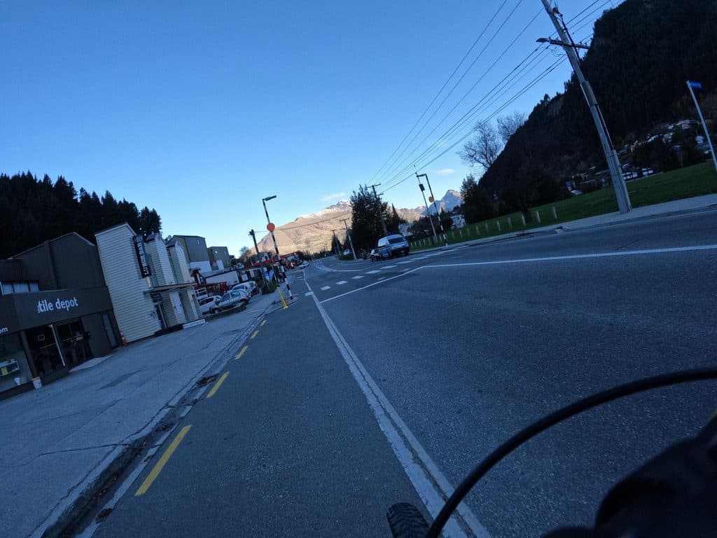 ModerateQueenstown Hill Time Walk5.5 km · 2.5 hr · 4.8 km awayA sustained 5.4 km return climb to Queenstown Hill views and the Basket of DreamsChallengingBen Lomond Track10.9 km · 6 hr · 4.9 km awayA demanding alpine climb from Skyline to a 1,748 m summit with huge Queenstown views
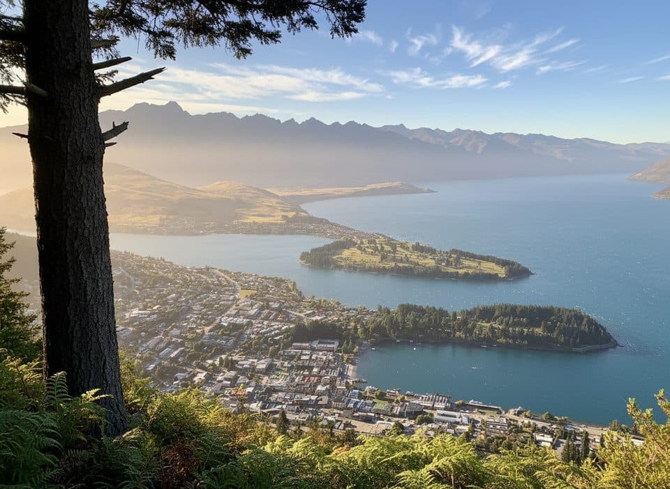 ModerateTiki Trail4.2 km · 2 hr · 5 km awayShort, steep climb to Skyline’s knockout Queenstown and Wakatipu views.
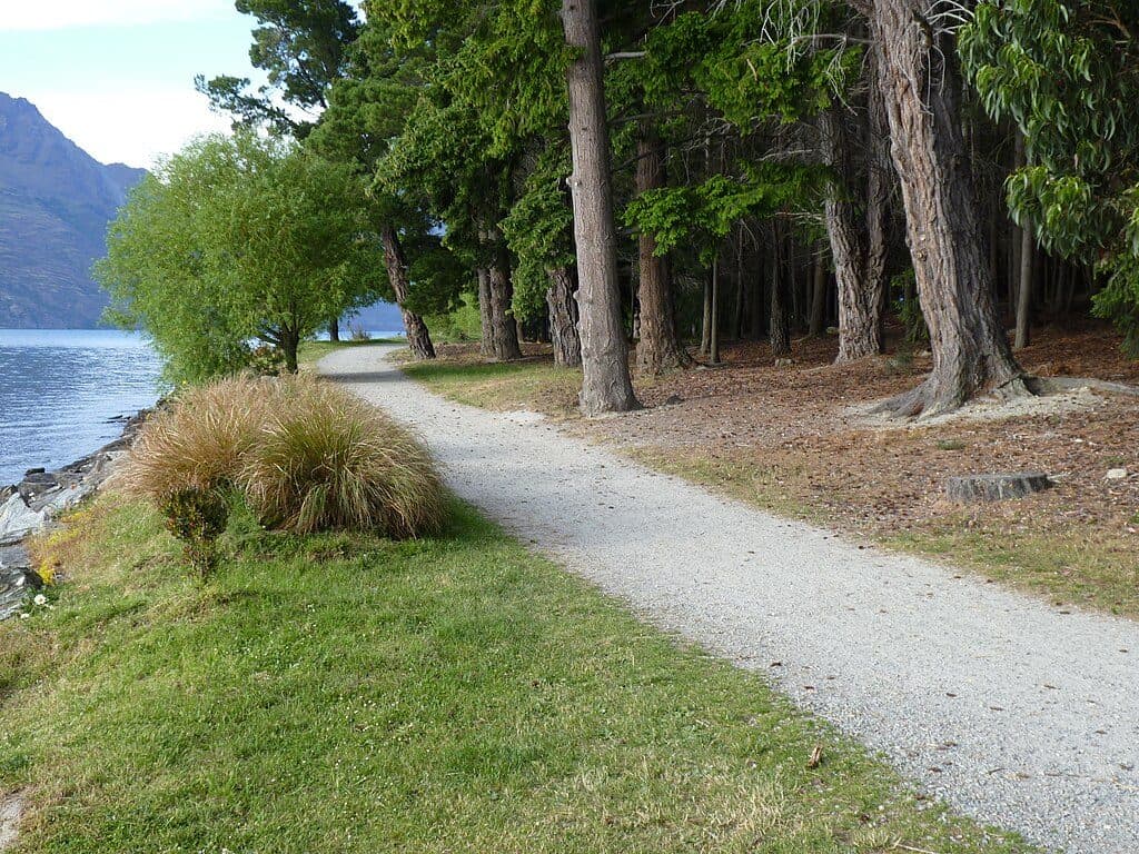 EasyQueenstown Gardens Lakefront Loop2 km · 30 min · 5.5 km awayEasy lakeside loop through Queenstown’s gardens with constant viewsChallengingFernhill Loop Track7.6 km · 3 hr · 6 km awaySteep loop with big Wakatipu views and a quiet, close-to-town feel
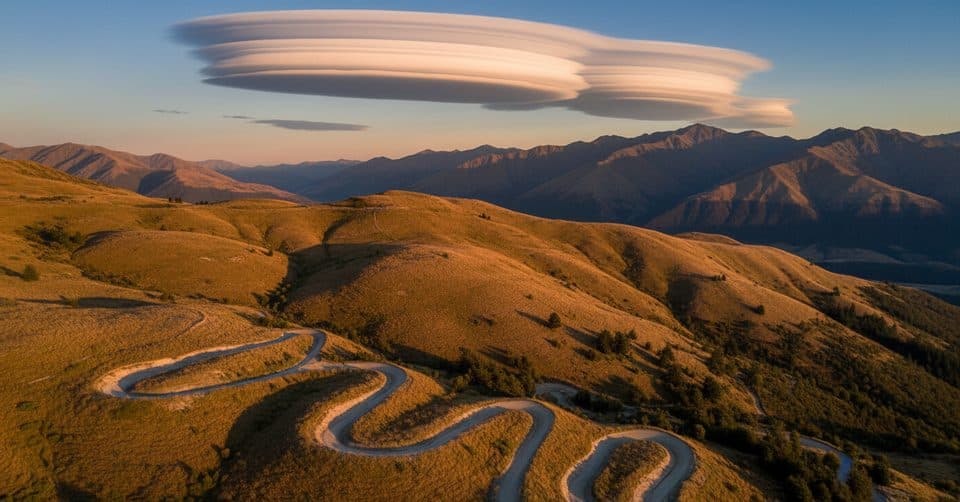 ModerateCoronet Face Water Race Track6 km · 1.3 hr · 6 km awayHistoric traverse with huge Wakatipu views and a few spicy edges
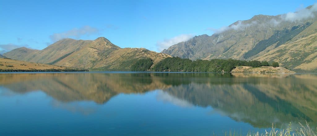 EasyMoke Lake Loop6.3 km · 2.5 hr · 7.2 km awayUndulating loop around an alpine lake near Queenstown
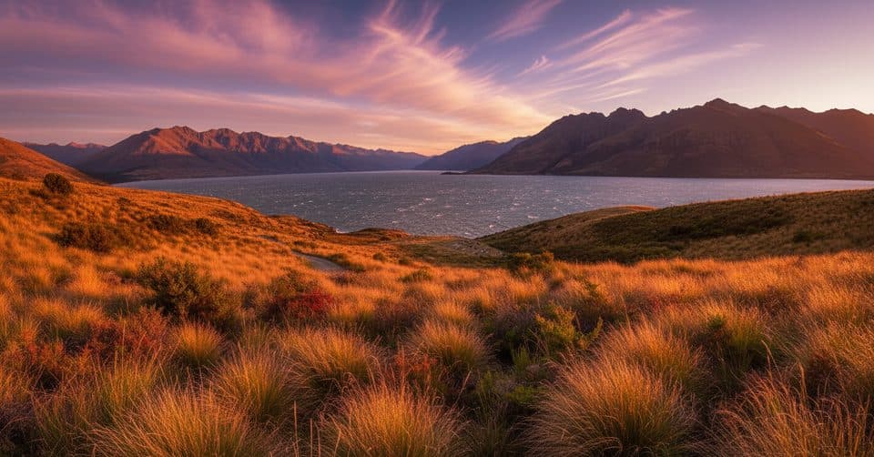 ModerateJacks Point Track12.6 km · 5 hr · 7.3 km awayExposed lakeside gravel track with big Lake Wakatipu and Remarkables views
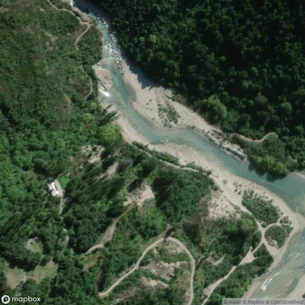 Sight · 0.4 km awayOxenbridge Tunnel, Shotover RiverShort walk to a historic river‑diversion tunnel in a dramatic gorge
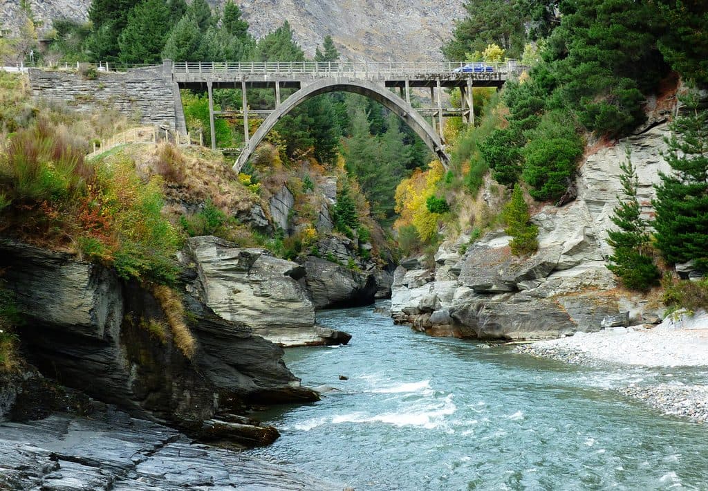 Sight · 0.9 km awayEdith Cavell BridgeHistoric one-lane arch with turquoise canyon views and jet boats
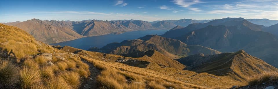 Sight · 3.4 km awayBen Lomond SaddleWindy alpine saddle with huge Wakatipu views and a toilet
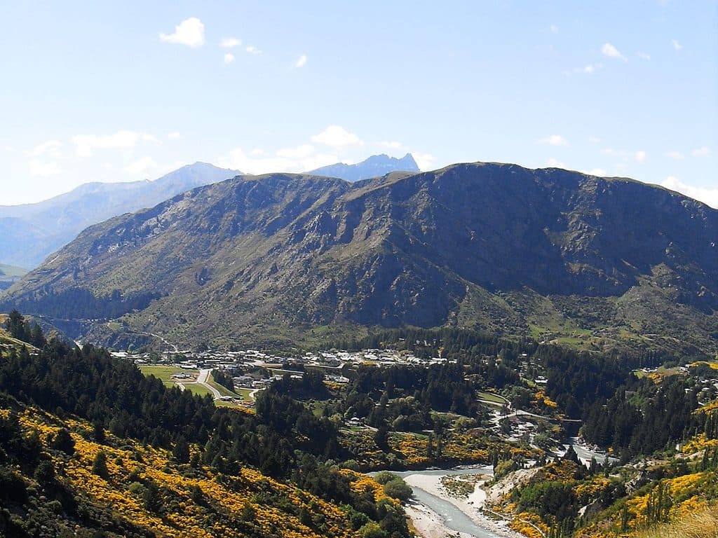 Sight · 3.6 km awayQueenstown HillShort, steep climb to Queenstown’s classic lake-and-peak panorama
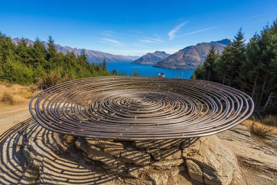 Sight · 4.5 km awayBasket of DreamsHilltop sculpture with knockout views over Lake Wakatipu
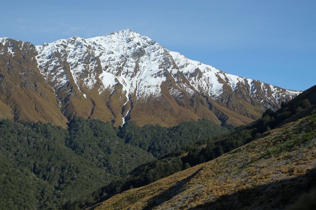 Sight · 4.6 km awayBen LomondQueenstown’s signature summit day hike with huge lake and alpine views
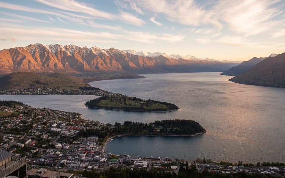 Sight · 4.8 km awayBob’s Peak – Queenstown Gondola LookoutQueenstown's classic skyline view via a quick gondola ride
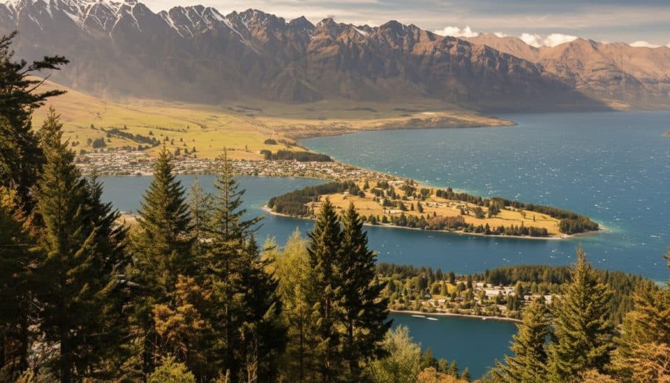 Sight · 4.9 km awayZiptrek Ecotours QueenstownTree-to-tree ziplines with big lake and mountain views
Parkwolf’s Queenstown-Lakes District ranking

The audio tour guide for the drive, plus offline maps, trails, and wildlife heatmaps for when the signal drops.




