Parking
Marked car park on the Glenorchy–Queenstown Road, 14 km from Queenstown. Summer parking can be busy; do not park on the roadside or reverse onto the highway.

Queenstown-Lakes District, New Zealand, OT
Easy 3.9 km out-and-back from the Glenorchy–Queenstown Road to Bob's Cove and Picnic Point
Overview
Bob's Cove Track is an easy-to-intermediate out-and-back walk from the Glenorchy–Queenstown Road to Punatapu / Bob's Cove and the Picnic Point lookout. The physical corridor is about 1.95 km one way; allow about 3.9 km (2.4 miles) for the return outing and roughly 1 hour, including the short steep loop at Picnic Point.
Map & elevation
Plan your hike

The highest, rockiest slopes around here are a summer buffet for grizzly bears.
Queenstown-Lakes District Tour Guide
Parkwolf is a GPS audio tour guide for Queenstown-Lakes District, New Zealand. As you drive, it chimes in with what’s ahead: hidden gems, upcoming stops, history, geology, and wildlife, right through your car’s speakers.
See the Queenstown-Lakes District audio tourRecorded for this trailhead
Bob's Cove: A Classic Lakeside Loop with History“You're nearing the pull-off for Bob's Cove, which has a brilliant loop track. It's an easy two-kilometre walk, and a perfect quick stop.”
Plays as you drive up to this trailhead in the Parkwolf Queenstown-Lakes District Tour Guide.
More stories near here in the app
“Fantastic app with many points of information… It’s great to just turn on while you’re driving and it gives you an audio tour of the national Park. We love it!!!!”


Trail guide
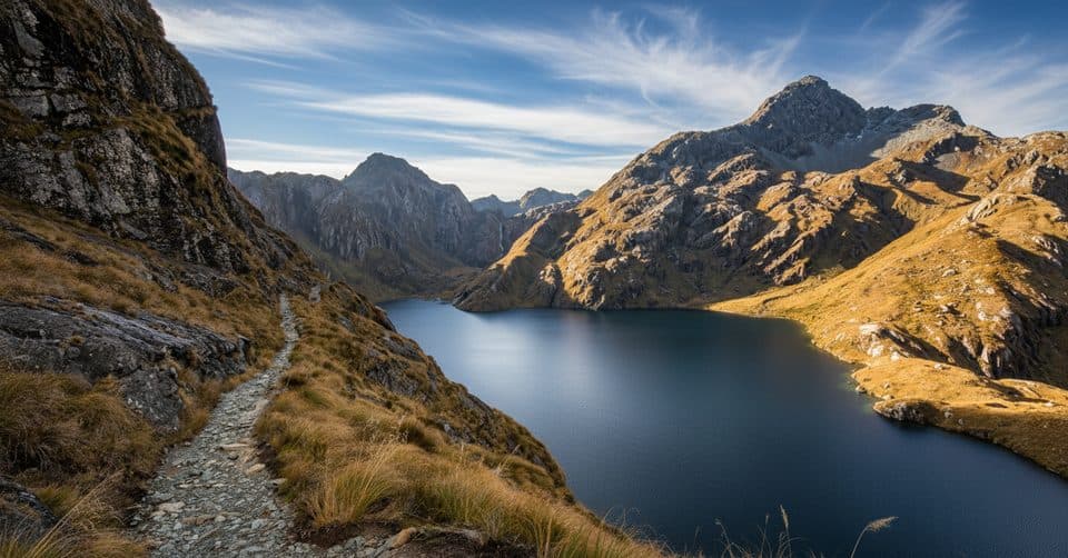
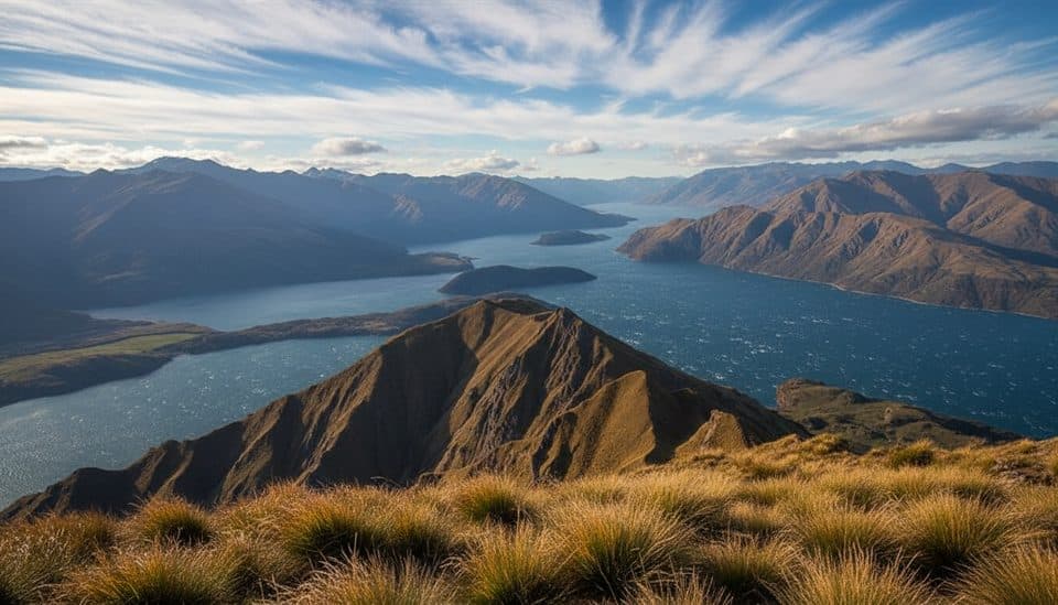
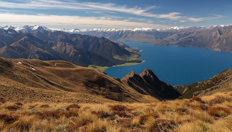
From the marked car park, the track descends through native bush to Bob's Cove, where you can swim and fish from the shore. It continues through the cove area to an 1800s lime kiln, then climbs the short steep Picnic Point loop for views over the cove, Lake Wakatipu, and the surrounding mountains. Return to the car park on the same marked corridor. The track connects onward to the Twelve Mile Delta Track; that continuation is outside this short Bob's Cove experience.
The car park is on the Glenorchy–Queenstown Road, 14 km from Queenstown. Parking can be busy in summer; visit in the morning or early evening when possible. Do not park on the roadside or reverse out onto the highway, where traffic travels quickly. Dogs are allowed on a leash. Mountain biking is permitted on the undulating main track but not on the Picnic Point loop. Fires are not allowed. The nearby old bridle track is permanently closed; use the marked track only.
The route is suitable for an easy outing overall, with one short steep climb that may be slippery when wet or icy. The lakeshore and lookout are exposed to sun and wind, so carry sun protection and a wind layer.
The lime kiln remains from the 1800s, when the Wakatipu Lime Company quarried and processed limestone at Punatapu / Bob's Cove; nearby gum trees were planted as kiln fuel.
Wildlife
 189 sightingsKeaMost seen around 5 PMSighting map
 18 sightingsKākāMost seen around 6 PMSighting map
 195 sightingsKererūMost seen around 10 AMSighting map
 48 sightingsWekaMost seen around 6 PMSighting map
 239 sightingsTūīMost seen around 8 AMSighting map
 97 sightingsBellbirdMost seen around 6 AMSighting map
Sighting maps show where each species has been reported across Queenstown-Lakes District. Wildlife moves, so no sighting is guaranteed.
Keep exploring
 EasyMount Crichton Loop Track7.2 km · 2.5 hr · 2.2 km awayA well-formed loop through beech forest with a waterfall, gold-mining history, and Lake Dispute views near Queenstown
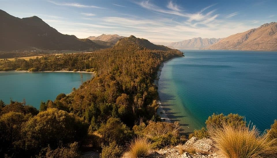 EasyBob’s Cove to Twelve Mile Delta Track6 km · 1.8 hr · 2.6 km awayA 6 km lakeside link from Twelve Mile Delta to Bob’s Cove.
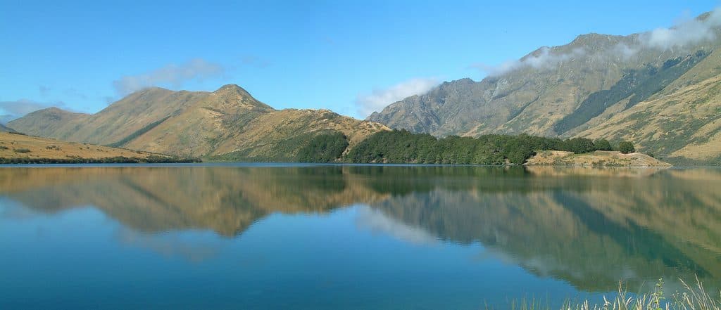 EasyMoke Lake Loop6.3 km · 2.5 hr · 9.4 km awayUndulating loop around an alpine lake near QueenstownChallengingFernhill Loop Track7.6 km · 3 hr · 10.9 km awaySteep loop with big Wakatipu views and a quiet, close-to-town feelChallengingBen Lomond Track10.9 km · 6 hr · 11.6 km awayA demanding alpine climb from Skyline to a 1,748 m summit with huge Queenstown views
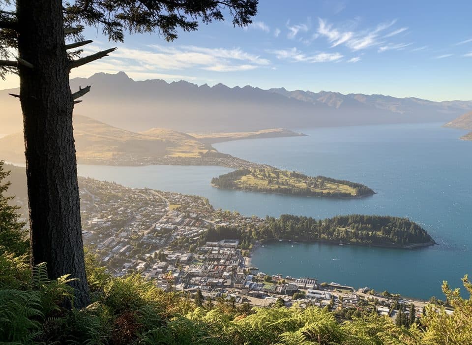 ModerateTiki Trail4.2 km · 2 hr · 12.4 km awayShort, steep climb to Skyline’s knockout Queenstown and Wakatipu views.
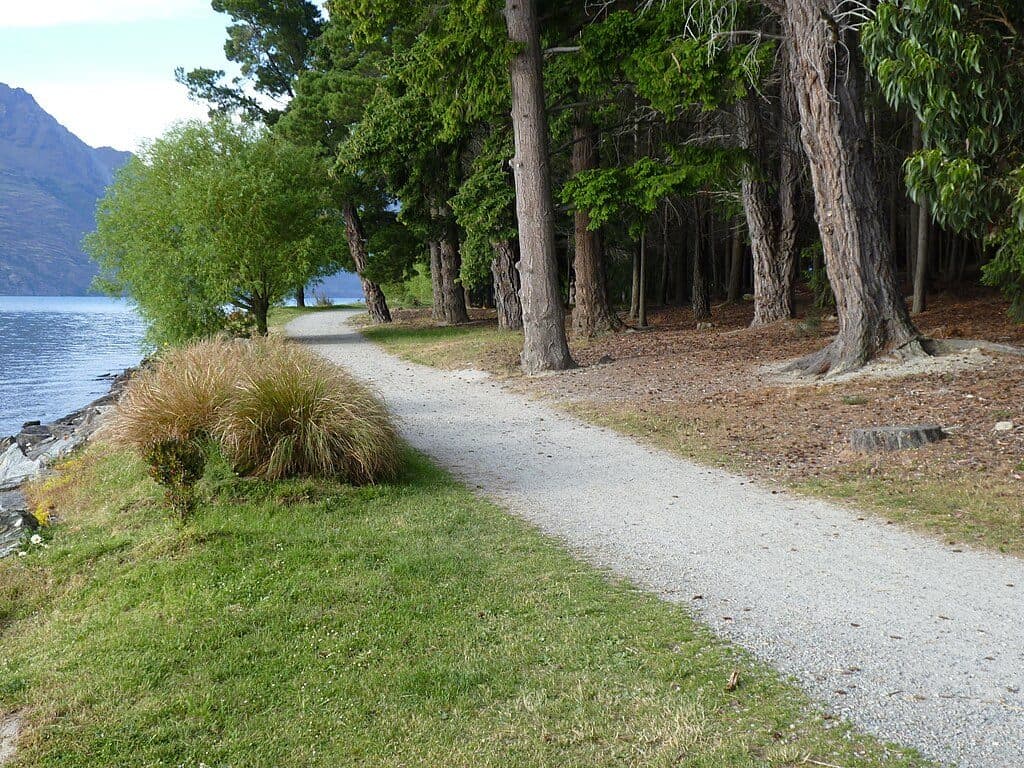 EasyQueenstown Gardens Lakefront Loop2 km · 30 min · 12.6 km awayEasy lakeside loop through Queenstown’s gardens with constant views
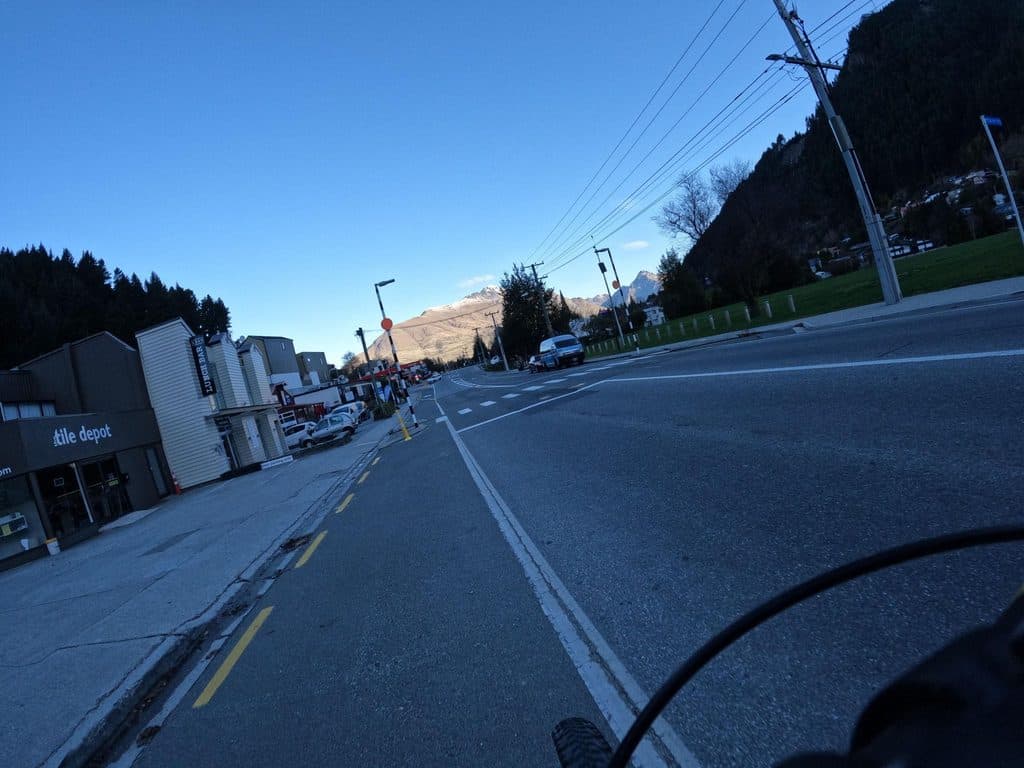 ModerateQueenstown Hill Time Walk5.5 km · 2.5 hr · 13.2 km awayA sustained 5.4 km return climb to Queenstown Hill views and the Basket of Dreams
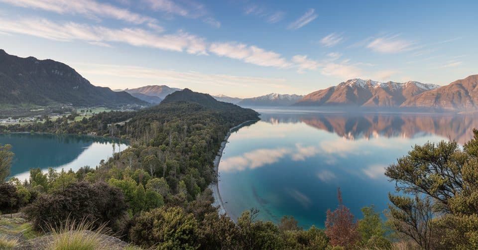 Sight · 1.5 km awayBob’s CoveTurquoise cove with a quick climb to a big lake view
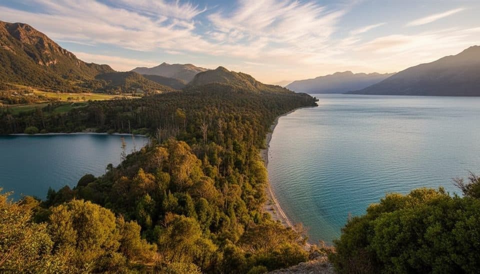 Campground · 2.9 km awayTwelve Mile DeltaSimple lakeside campground with big views near Queenstown
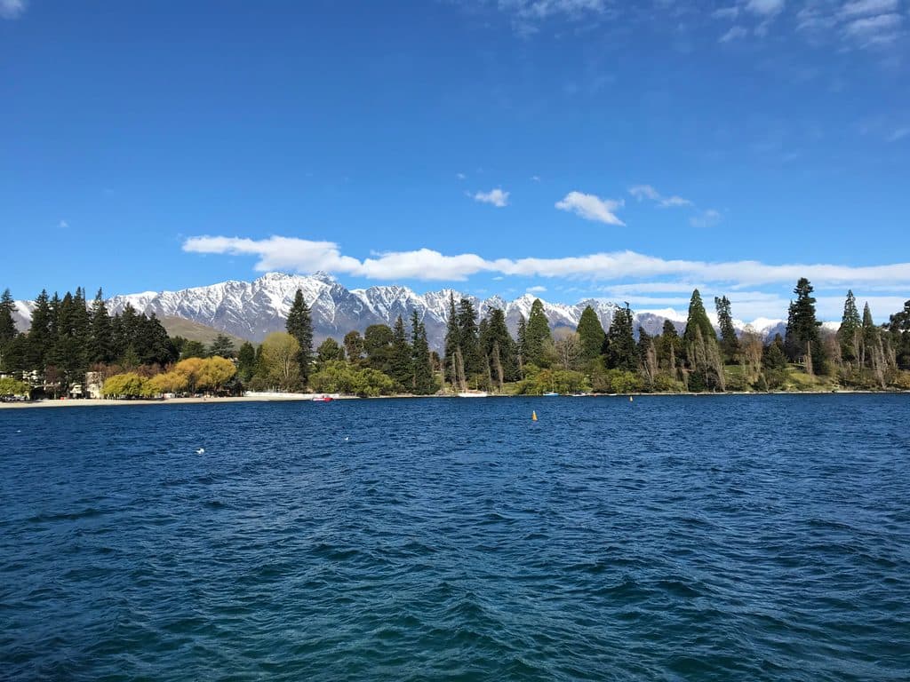 Sight · 3 km awayLake WakatipuGlacial alpine lake with steamship cruises and big‑mountain views
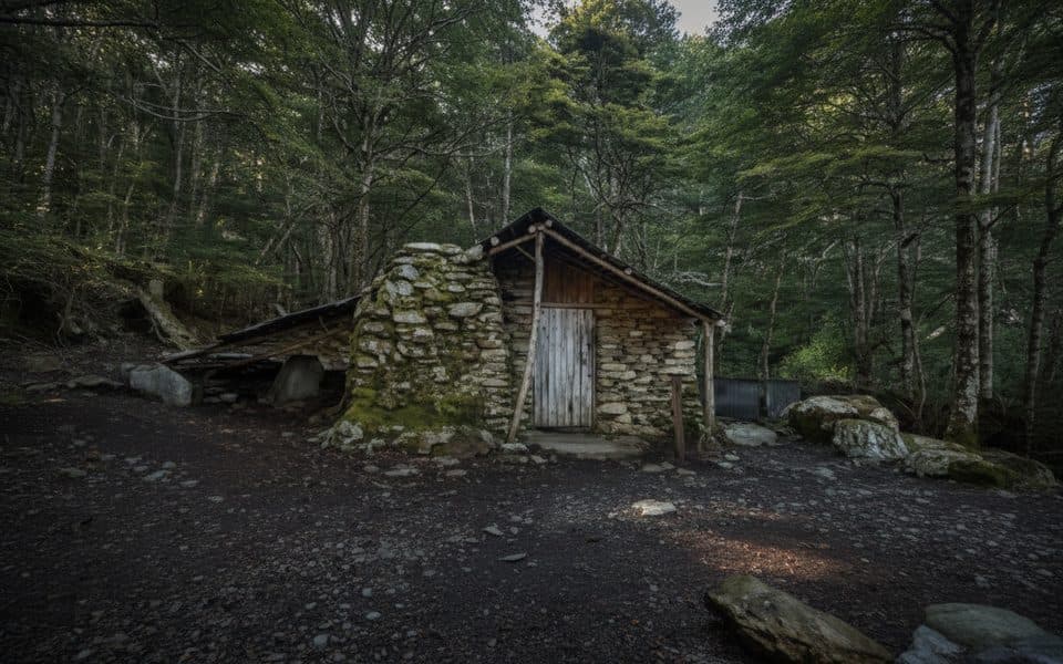 Sight · 3 km awaySam Summers Hut (Mt Crichton)Historic miner’s hut with a waterfall stop on a quick loop
 Beach · 4 km awayWilson BayPebbly Lake Wakatipu beach with swims, BBQs and trail access
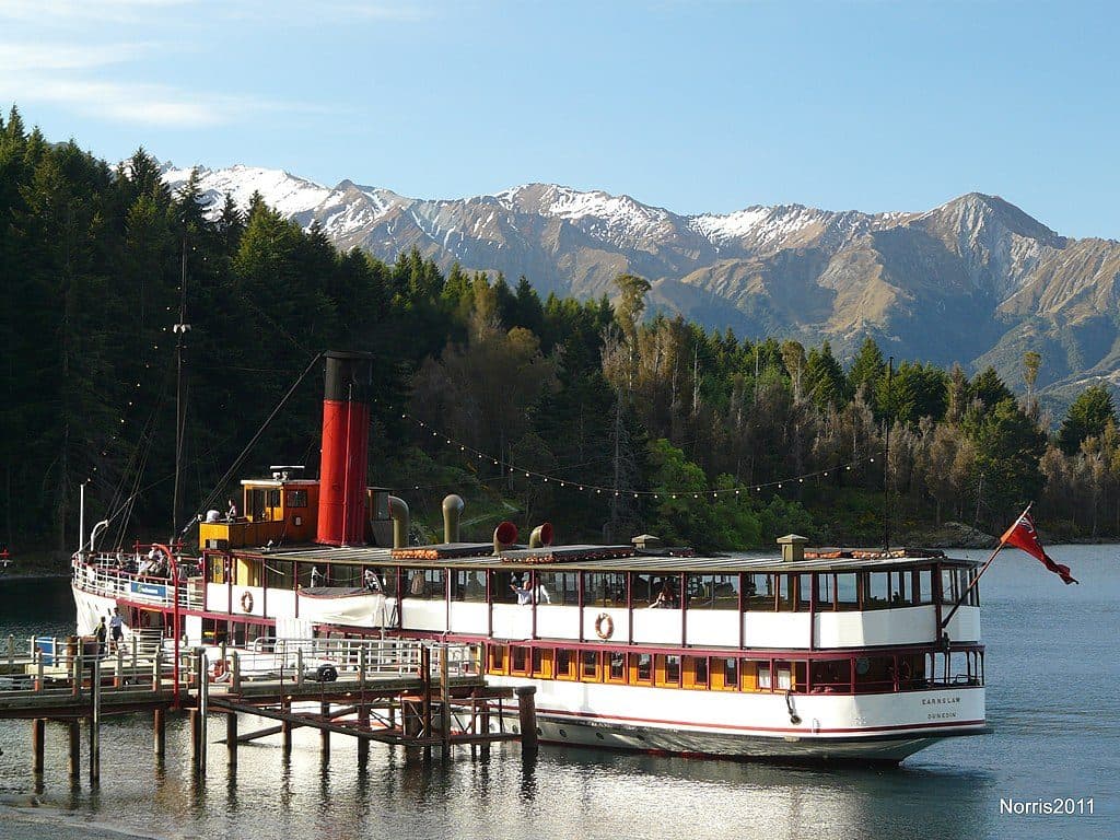 Sight · 5.4 km awayWalter Peak High Country FarmLake cruise to a working high‑country sheep farm with demos
 Restaurant · 5.4 km awayWalter Peak Gourmet BBQHistoric steamship cruise to a lakeside farm with gourmet BBQ
 Sight · 7.1 km awayBennett’s Bluff LookoutClassic Glenorchy road stop for huge lake-and-peak views
Parkwolf’s Queenstown-Lakes District ranking

The audio tour guide for the drive, plus offline maps, trails, and wildlife heatmaps for when the signal drops.