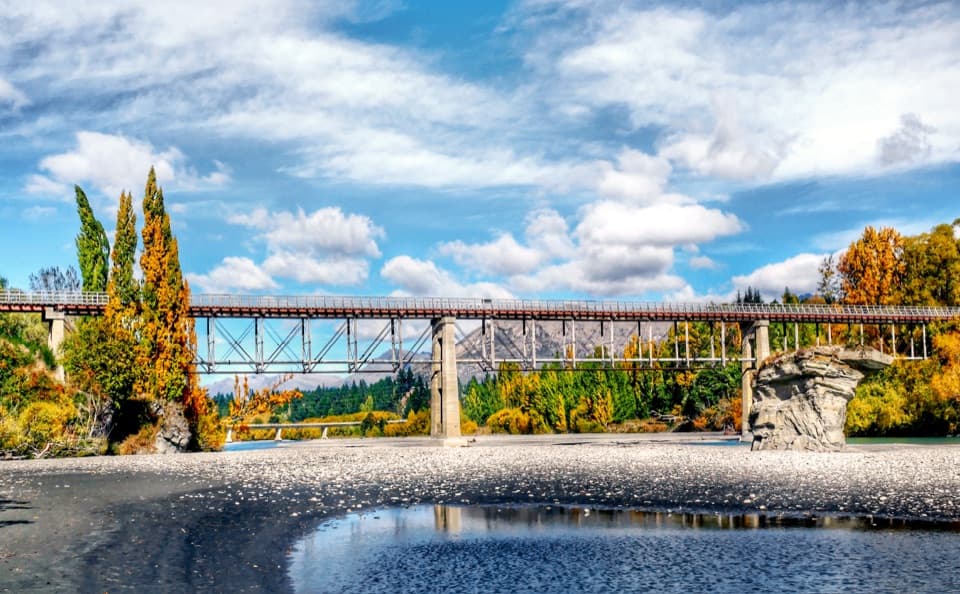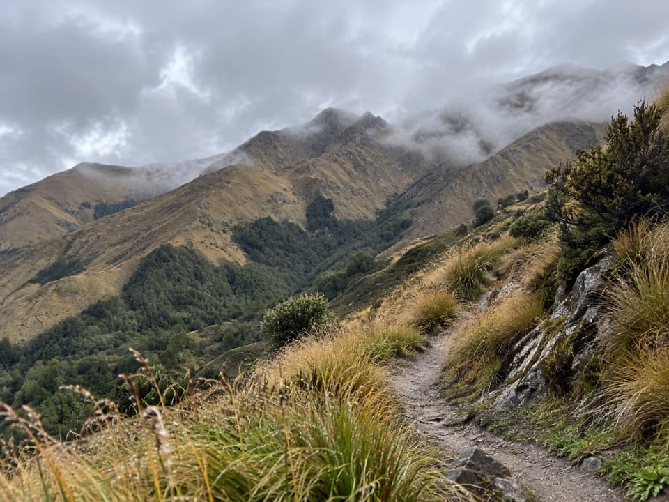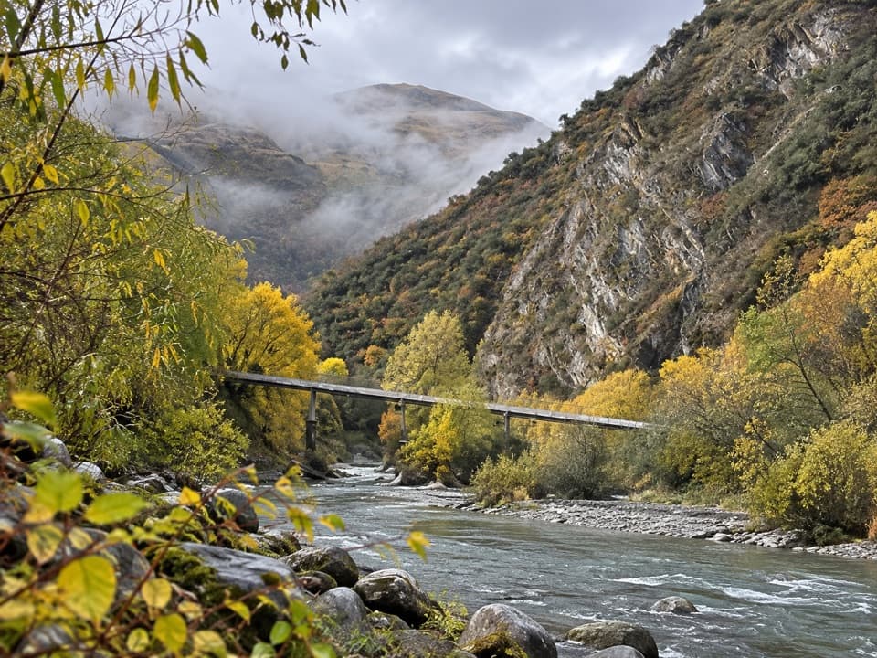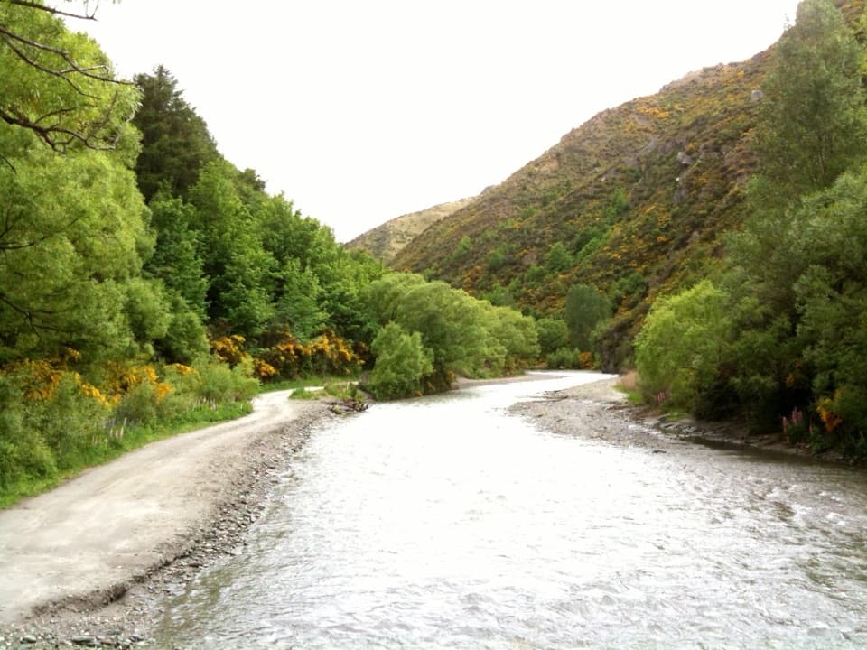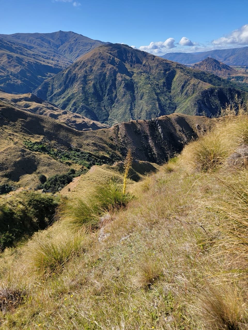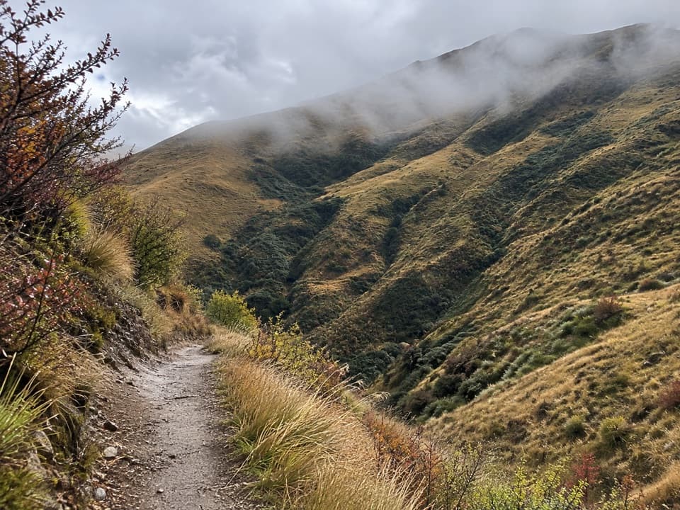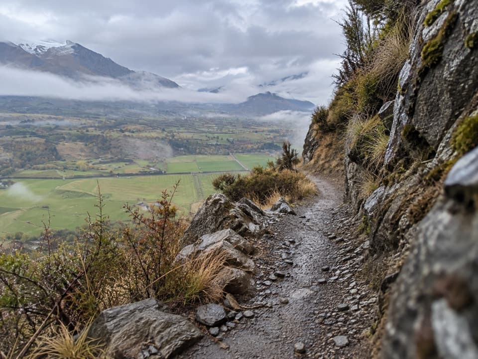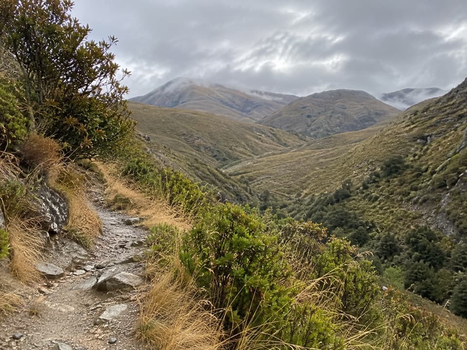
Arrow River Bridges Trail in Queenstown-Lakes District, New Zealand

Queenstown-Lakes District, New Zealand, OT

Arrow River Bridges Trail

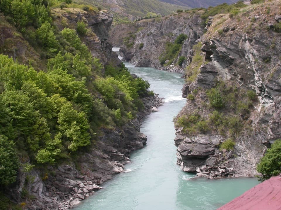
Five river bridges lead to an 1880 gorge landmark.

Photo: sussexbirder, CC BY 2.0, via Wikimedia Commons

Length
13.3km
Time
4hr
Elev. change
69m
Difficulty
Moderate
  • Dogs allowed
  • High point 417 m
  • #38 of 155 in Queenstown-Lakes District

Hear the audio tour

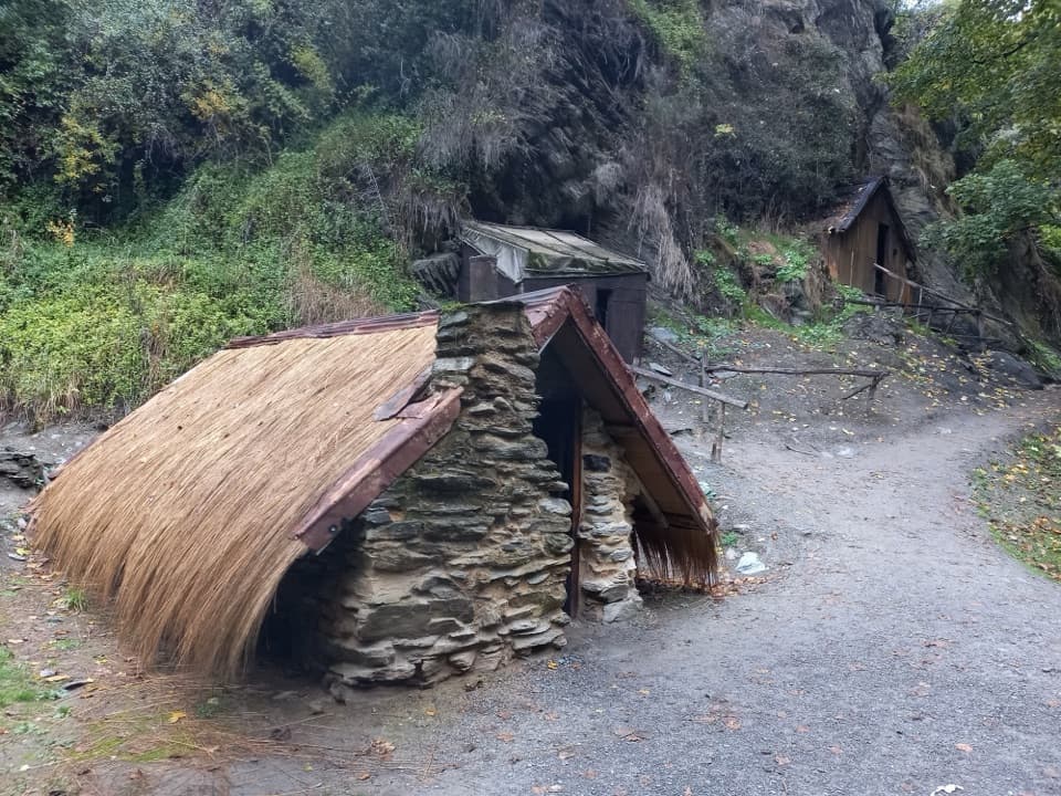
Arrowtown Chinese Settlement

Overview

About Arrow River Bridges Trail

Why go

  • Five Arrow River bridges, including the 80 m Edgar span over Arrow Gorge.
  • Finishes at the historic 1880 Kawarau Suspension Bridge.

Heads up

  • A long one-way walk; transport back from Gibbston takes planning.
  • About 1 km shares Arrow Junction Road.

Map & elevation

The route

Loading the Queenstown-Lakes District map
Full map
Elevation348–417 m
TrailheadArrowtown start beside Chinese Settlement and Butlers Green, near Tobins Bridge-44.93734, 168.82900
Keep this map with you offline in the Parkwolf app

Plan your hike

Before you go

Parking

Start near Butlers Green and the Chinese Settlement in Arrowtown, beside Tobins Bridge; the route ends by Kawarau Suspension Bridge at the Bungy Centre. Parking is reported at both ends, but capacity and fees were not verified. Arrange your return before setting out.

Safety

Expect cyclists, e-bikes and walkers on the shared route; keep left and give way to pedestrians. About 1 km is on Arrow Junction Road, and Barfoot Tunnel has steep approaches. No dependable on-route drinking-water refill was verified.

3 active Queenstown-Lakes District alerts

  • CautionRob Roy Track: stop at lower lookout during avalanche seasonFrom May to November, end your Rob Roy Track hike at the lower lookout: DOC strongly recommends this because the upper section crosses active avalanche paths.Official details
  • ClosureSkippers Bridge closed to all usersSkippers Bridge is closed to all vehicles, cyclists and pedestrians; stay off the bridge and obey closure signs and barriers.Official details
See all 3 alerts
A park ranger sits on a dash-mounted phone, talking, as Parkwolf’s Tour Guide plays “Army Cutworm Moths: A Grizzly Bear Buffet” on Grand Loop Road below Dunraven Pass in Yellowstone
Parkwolf Tour GuideThe highest, rockiest slopes around here are a summer buffet for grizzly bears.

Queenstown-Lakes District Tour Guide

Your drive to Arrow River Bridges Trail, narrated.

Parkwolf is a GPS audio tour guide for Queenstown-Lakes District, New Zealand. As you drive, it chimes in with what’s ahead: hidden gems, upcoming stops, history, geology, and wildlife, right through your car’s speakers.

See the Queenstown-Lakes District audio tour

Recorded for this trailhead

Arrowtown Chinese Settlement
0:00 / 0:35
“You're coming up on Arrowtown's Chinese Settlement beside Bush Creek. Allow thirty minutes to an hour, and leave time to read the panels in English and Chinese.”

Plays as you drive up to this trailhead in the Parkwolf Queenstown-Lakes District Tour Guide.

More stories near here in the app

  • Feehly Hill Loop
  • Lakes District Museum and Arrowtown
  • Tobins Track Above Arrowtown
  • Still Chewing After the Meal
  • 298 audio storiesacross Queenstown-Lakes District’s roads, triggered by GPS as you drive
  • Wildlife heatmapsfor Kea, Kākā, Kererū, and 13 more
  • Works offlinemaps, 155 trails, 129 places, and audio download before you lose signal
  • CarPlay readysimple controls built for the drive
★★★★★
“Fantastic app with many points of information… It’s great to just turn on while you’re driving and it gives you an audio tour of the national Park. We love it!!!!”
JMJamesApp Store review
Download Parkwolf on the App StoreGet Parkwolf on Google Play

4.7 from 8,600+ ratings

Trail guide

Hiking Arrow River Bridges Trail

What you’re signing up forArrow River Bridges Trail is a 13.3 km (8.

Arrow River Bridges Trail is a 13.3 km (8.3 mi) one-way walk from Arrowtown to the historic Kawarau Suspension Bridge in Gibbston. It follows the Arrow River’s true left bank, crosses five bridges over that river, then heads into Arrow Gorge before finishing at the Kawarau. Allow 3–5 hours on foot. The route is graded easy and its riverbank opening is gentle, but this is a half-day shared-use walk, not a quick stroll. Set up your return from the far end before you start.

The riverside startBegin beside Arrowtown’s Chinese Settlement and Butlers Green, near Tobins Bridge, and follow…

Begin beside Arrowtown’s Chinese Settlement and Butlers Green, near Tobins Bridge, and follow the river downstream. Tobins Track branches steeply toward Crown Terrace; stay with the riverside trail if you’re doing this route. Willow lines much of the bank, with popular places to paddle in summer. This first stretch is the easiest and busiest part. The Southern Discoveries suspension bridge opened in 2012 and is a particularly good place to pause for autumn colour.

Around Arrow JunctionFarther along, the route uses Whitechapel Road and passes Knights Family Bridge beneath the…

Farther along, the route uses Whitechapel Road and passes Knights Family Bridge beneath the State Highway 6 bridge. Expect about 1 km on Arrow Junction Road before gravel resumes. Watch for traffic and other trail users through this shared section.

Into Arrow GorgeAfter Arrow Junction the trail gets narrower and hillier.

After Arrow Junction the trail gets narrower and hillier. It passes under the highway through Barfoot Tunnel, whose approaches are steep, then follows an old gold-miners’ route toward Kawarau. Twin Rivers Trail branches toward Frankton near Morven Ferry Road; follow the Arrow River Bridges signs if you’re continuing to the Kawarau finish.

The bridges at either endThe standout crossing is Edgar Suspension Bridge, an 80 m span over Arrow Gorge.

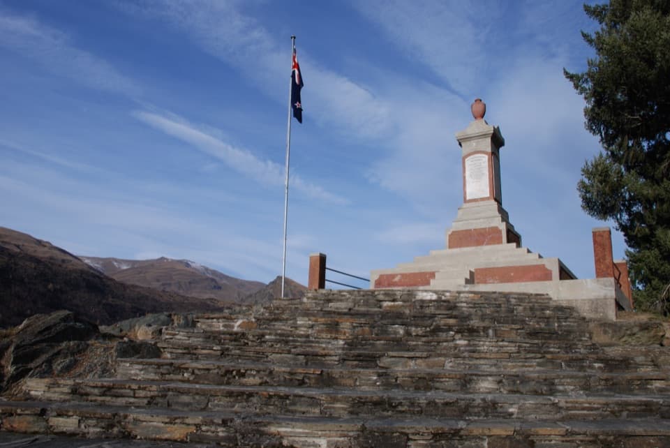
The standout crossing is Edgar Suspension Bridge, an 80 m span over Arrow Gorge. Stop at the Wall of Recognition nearby, and take in the view down the gorge; a little bridge rail in the frame helps show the scale. At the end, Kawarau Suspension Bridge dates to 1880. It was replaced as the main road crossing in the 1960s, and bungy operations began from the historic bridge in 1988.

Access and effortStart near Butlers Green and the Chinese Settlement in Arrowtown; finish beside Kawarau…

Start near Butlers Green and the Chinese Settlement in Arrowtown; finish beside Kawarau Suspension Bridge at the Kawarau Bungy Centre. Parking is reported at both ends, but capacity and fees aren’t confirmed. This is one way, so arrange a ride back. Dogs are allowed under control; keep them close on the shared track. Bring your own water because no dependable refill point is established along the route.

Wildlife

Wildlife in Queenstown-Lakes District

All Queenstown-Lakes District wildlife maps

Sighting maps show where each species has been reported across Queenstown-Lakes District. Wildlife moves, so no sighting is guaranteed.

Keep exploring

Near Arrow River Bridges Trail

See it all on the map

Trails that start nearby

Places near the trailhead

Parkwolf’s Queenstown-Lakes District ranking

Top-rated trails in Queenstown-Lakes District

All 155 trails
  1. 1Routeburn TrackChallenging · 33.1 km
  2. 2Roys Peak TrackChallenging · 16 km
  3. 3Ben Lomond TrackChallenging · 14 km
  4. 4Rob Roy TrackModerate · 10 km
  5. 5Isthmus Peak TrackChallenging · 16 km
  6. 6Routeburn Falls TrackChallenging · 19.6 km

Take Parkwolf to Queenstown-Lakes District.

The audio tour guide for the drive, plus offline maps, trails, and wildlife heatmaps for when the signal drops.

4.7 from 8,600+ ratings

Download Parkwolf on the App StoreGet Parkwolf on Google Play