Beans Burn Track in Queenstown-Lakes District, New Zealand

Queenstown-Lakes District, New Zealand, OT

Beans Burn Track

A jetboat drops you beside a faint track into a remote valley.

Length
13.2km
Time
3.8hr
Elev. change
183m
Difficulty
Moderate
  • No dogs
  • High point 567 m

Hear the audio tour

The Bird That Rains Leaves

Overview

About Beans Burn Track

Why go

  • Boulder-lined water and beech forest make a memorable valley walk
  • The forest opens onto grassy flats beneath steep mountain slopes

Heads up

  • A jetboat or a much longer backcountry walk-in is needed
  • The lower entrance is easy to miss and the path can be faint

Map & elevation

The route

Loading the Queenstown-Lakes District map
Full map
Elevation384–567 m
TrailheadBeans Burn Track entrance at the Dart River-44.67001, 168.31095
Keep this map with you offline in the Parkwolf app

Plan your hike

Before you go

Parking

There is no roadside lot at the river entrance. Start from a pre-arranged commercial jetboat drop near the Beans Burn mouth, or use the longer DOC walking approach from Weka Flat via Lake Sylvan and Rockburn; arrange return pickup before leaving.

Safety

The lower Dart-bank entrance is easy to miss and visibility is sometimes poor; use offline navigation and backtrack if you lose the line. Beyond the mapped turn-around, travel toward Split Rock Biv and Fohn Saddle is separate, faint or unmarked backcountry route-finding. Dogs are prohibited in Mount Aspiring National Park.

3 active Queenstown-Lakes District alerts

  • CautionRob Roy Track: stop at lower lookout during avalanche seasonFrom May to November, end your Rob Roy Track hike at the lower lookout: DOC strongly recommends this because the upper section crosses active avalanche paths.Official details
  • ClosureSkippers Bridge closed to all usersSkippers Bridge is closed to all vehicles, cyclists and pedestrians; stay off the bridge and obey closure signs and barriers.Official details
See all 3 alerts
A park ranger sits on a dash-mounted phone, talking, as Parkwolf’s Tour Guide plays “Army Cutworm Moths: A Grizzly Bear Buffet” on Grand Loop Road below Dunraven Pass in Yellowstone
Parkwolf Tour GuideThe highest, rockiest slopes around here are a summer buffet for grizzly bears.

Queenstown-Lakes District Tour Guide

Your drive to Beans Burn Track, narrated.

Parkwolf is a GPS audio tour guide for Queenstown-Lakes District, New Zealand. As you drive, it chimes in with what’s ahead: hidden gems, upcoming stops, history, geology, and wildlife, right through your car’s speakers.

See the Queenstown-Lakes District audio tour

Recorded for this area

The Bird That Rains Leaves
0:00 / 0:29
“In the Dart Valley's beech forest, a little shower of leaves and bark can be a clue to a mohua overhead. These small birds rummage through moss and the litter caught in branch forks, looking for insects and spiders.”

Plays on the road 1.7 km from the trailhead in the Parkwolf Queenstown-Lakes District Tour Guide.

More stories near here in the app

  • The Moss That Holds a Bog
  • A Robin’s Hidden Meal
  • Ears on a Wētā’s Legs
  • Routeburn Shelter and Nature Walk
  • 298 audio storiesacross Queenstown-Lakes District’s roads, triggered by GPS as you drive
  • Wildlife heatmapsfor Kea, Kākā, Kererū, and 13 more
  • Works offlinemaps, 155 trails, 129 places, and audio download before you lose signal
  • CarPlay readysimple controls built for the drive
★★★★★
“Fantastic app with many points of information… It’s great to just turn on while you’re driving and it gives you an audio tour of the national Park. We love it!!!!”
JMJamesApp Store review
Download Parkwolf on the App StoreGet Parkwolf on Google Play

4.7 from 8,600+ ratings

Trail guide

Hiking Beans Burn Track

Is this the backcountry day you want?Beans Burn Track is an 8.2-mile (13.

Beans Burn Track is an 8.2-mile (13.2 km) out-and-back from the Dart River entrance up a beech-lined valley to grassy flats and back. Allow about 3.5 to 4 hours on the trail; the boat transfer adds time. The walk is moderate, but the access makes it a true backcountry outing. Come for river country and forest rather than a built, signposted path; choose another walk if you need an easy roadside start.

Find the entrance firstA jetboat can drop you near the Beans Burn mouth.

A jetboat can drop you near the Beans Burn mouth. The track entrance is on the Dart side, about 100 m upstream from the confluence, not necessarily where you first see the burn meet the river. The low bank and track can be easy to miss. Have an offline topographic map ready; if the line disappears, return to the last clear point instead of pushing through bush.

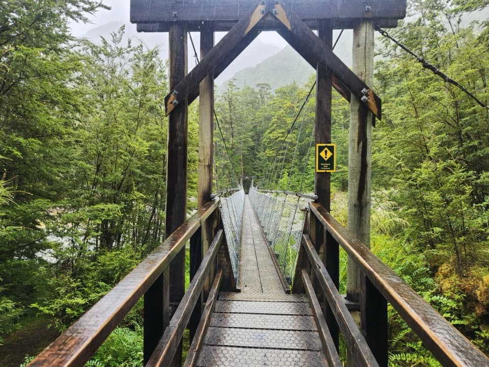
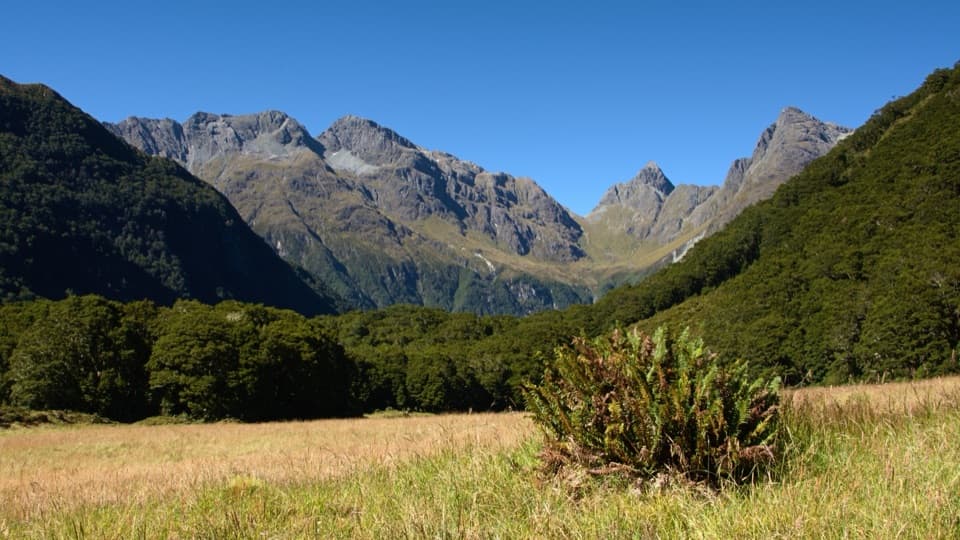
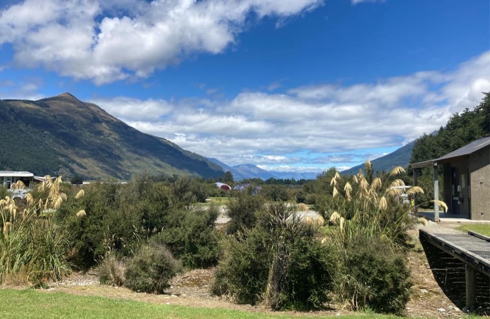
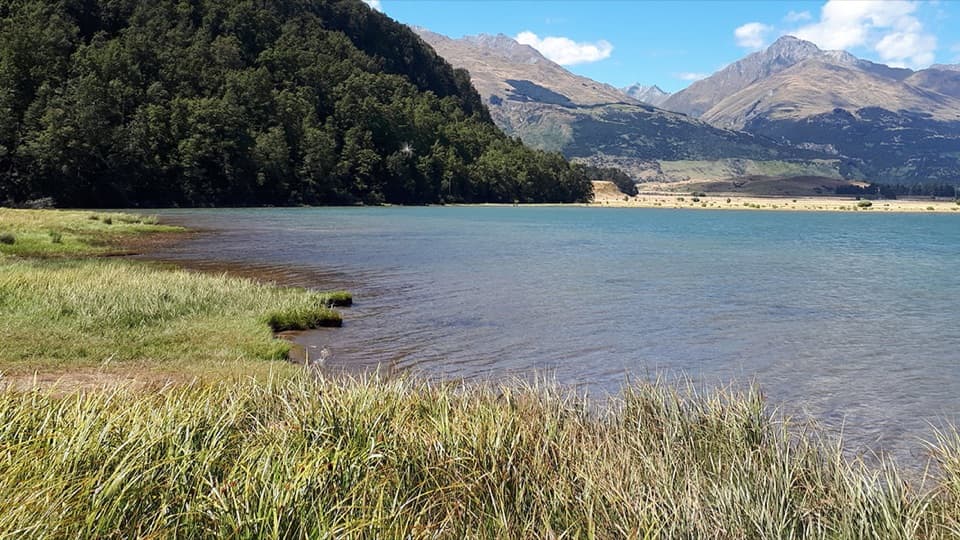
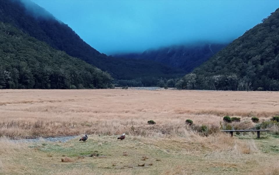
Once on the path, it climbs away from the river and follows the burn through dense beech forest. The valley squeezes in and out; where the track rises across rougher slopes and gullies, progress slows. Near the upper end, the forest gives way to a grassy opening under steep, forested mountain sides. At the boulder-lined water, get low and frame the blue-green shallows with the beech canopy.

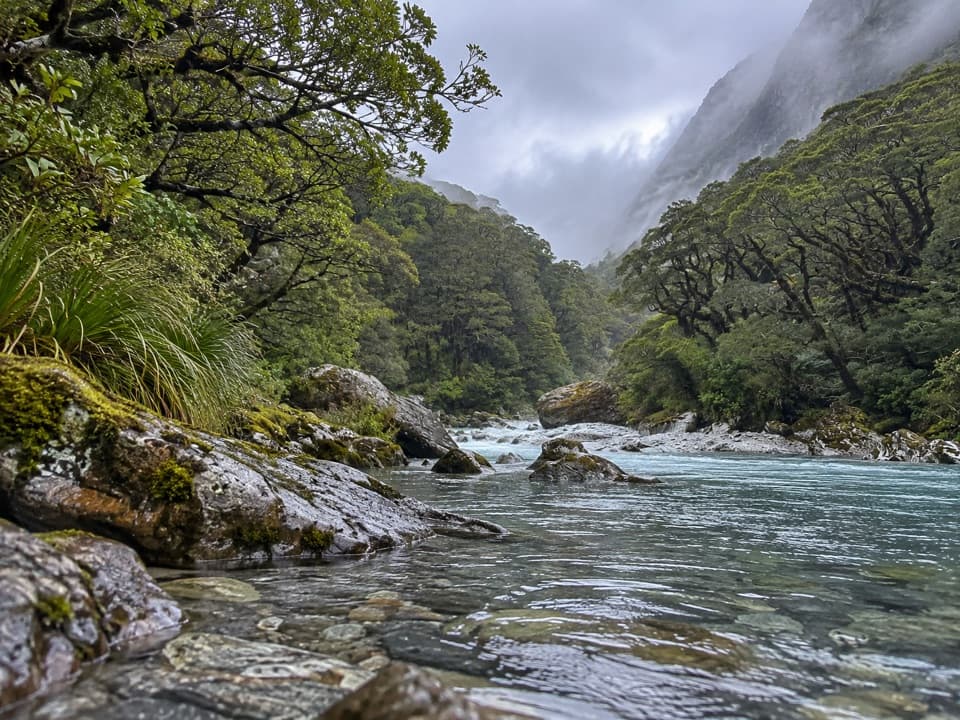
Keep the route in perspectiveThe 8.2 miles counts walking from the river entrance and back, not the boat ride.

The 8.2 miles counts walking from the river entrance and back, not the boat ride. The continuation toward Split Rock Biv and Fohn Saddle is a separate, faint or unmarked backcountry route; do not add it to this walk unless you are prepared for more demanding route-finding.

Plan the accessThe practical start is a pre-arranged boat drop near the Beans Burn mouth, with a return pickup…

The practical start is a pre-arranged boat drop near the Beans Burn mouth, with a return pickup arranged before you go. The Department of Conservation also describes a longer walk-in from Weka Flat through Lake Sylvan and Rockburn, then north along the Dart to Beans Burn. That is a much larger backcountry approach than the mapped out-and-back. Dogs are not allowed in this part of Mount Aspiring National Park.

Wildlife

Wildlife in Queenstown-Lakes District

All Queenstown-Lakes District wildlife maps

Sighting maps show where each species has been reported across Queenstown-Lakes District. Wildlife moves, so no sighting is guaranteed.

Keep exploring

Near Beans Burn Track

See it all on the map

Trails that start nearby

Places near the trailhead

Parkwolf’s Queenstown-Lakes District ranking

Top-rated trails in Queenstown-Lakes District

All 155 trails
  1. 1Routeburn TrackChallenging · 33.1 km
  2. 2Roys Peak TrackChallenging · 16 km
  3. 3Ben Lomond TrackChallenging · 14 km
  4. 4Rob Roy TrackModerate · 10 km
  5. 5Isthmus Peak TrackChallenging · 16 km
  6. 6Routeburn Falls TrackChallenging · 19.6 km

Take Parkwolf to Queenstown-Lakes District.

The audio tour guide for the drive, plus offline maps, trails, and wildlife heatmaps for when the signal drops.

4.7 from 8,600+ ratings

Download Parkwolf on the App StoreGet Parkwolf on Google Play