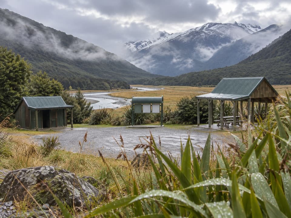
Parking
Start at Gates of Haast Bridge off State Highway 6. The route directions do not identify a car park; confirm a safe place to leave your vehicle rather than assuming the bridge shoulder is suitable.
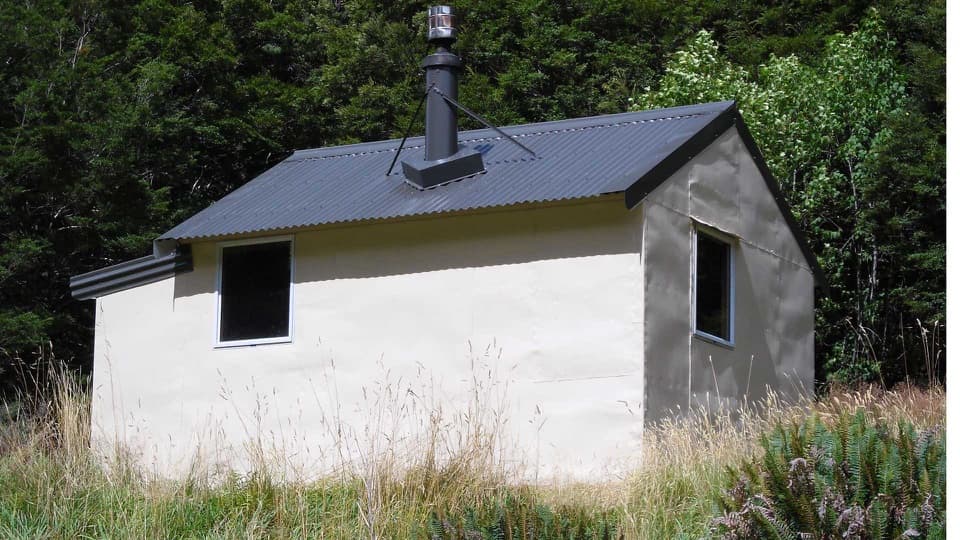
Queenstown-Lakes District, New Zealand, OT
Remote 15 km hut tramp, with an unstable slip and river crossing.
Overview
Map & elevation
Plan your hike

The highest, rockiest slopes around here are a summer buffet for grizzly bears.
Queenstown-Lakes District Tour Guide
Parkwolf is a GPS audio tour guide for Queenstown-Lakes District, New Zealand. As you drive, it chimes in with what’s ahead: hidden gems, upcoming stops, history, geology, and wildlife, right through your car’s speakers.
See the Queenstown-Lakes District audio tourMore stories near here in the app
“Fantastic app with many points of information… It’s great to just turn on while you’re driving and it gives you an audio tour of the national Park. We love it!!!!”


Trail guide
Wills Valley Track is a remote out-and-back from Gates of Haast Bridge to Wills Hut through a gorge, beech forest, and an open river flat. The hut is 7.5 km (4.7 mi) one way, so the full walk is about 15 km (9.3 mi) and 10–12 hours. This is a serious tramp for experienced walkers, not a short stop off SH6.
The approach begins with a large, unstable slip. After about 10 minutes on an old bridle trail, climb and sidle above Wills Gorge. At a smaller slip, stay high to reach the steel ladder and rock bluff; beyond it, the route climbs through forest before dropping to the flats.
The marked track ends on a grassy flat; Wills Hut is another roughly 40 minutes away across the Wills River. This crossing is unbridged. The hut has four bunks on a first-come basis and requires a backcountry hut ticket. Water is untreated, so bring a way to make it safe and carry your rubbish back out.
This is routefinding and river-crossing terrain. Avoid the native nettle beside the old bridle path. Don’t cross the river when it is high, after heavy rain, or if safe entry and exit points aren’t clear. Avalanche terrain crosses the track, usually May through November. Dogs aren’t allowed; check current track and avalanche information before setting out.
Wildlife
 194 sightingsKeaMost seen around 5 PMSighting map
 18 sightingsKākāMost seen around 6 PMSighting map
 198 sightingsKererūMost seen around 10 AMSighting map
 53 sightingsWekaMost seen around 6 PMSighting map
 245 sightingsTūīMost seen around 8 AMSighting map
 98 sightingsBellbirdMost seen around 6 AMSighting map
Sighting maps show where each species has been reported across Queenstown-Lakes District. Wildlife moves, so no sighting is guaranteed.
Keep exploring
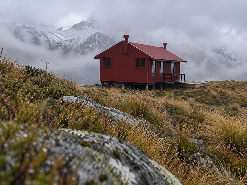 ChallengingBrewster Track5.6 km · 7 hr · 4.2 km awayFord the Haast, climb the ridge, and reach a high alpine hut.
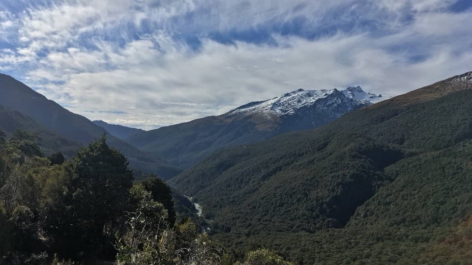 ModerateHaast Pass Lookout Track1.5 km · 1 hr · 7.8 km awaySteep beech forest opens to Southern Alps views.
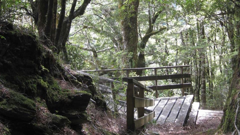 EasyBridle Track3.5 km · 1.5 hr · 11.1 km awayA well-graded 3.5 km walk between Davis Flat and Haast Pass.
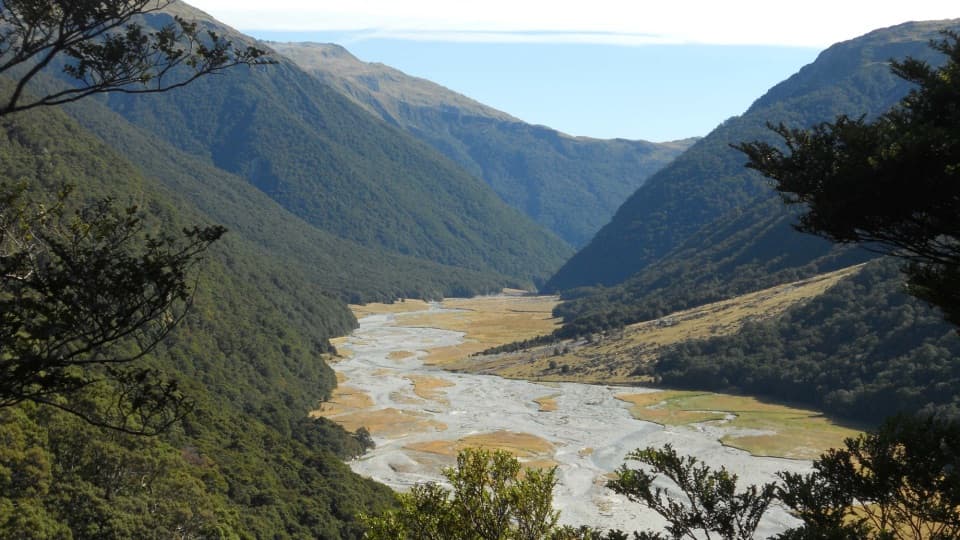 ChallengingMakarora Valley Track21 km · 12 hr · 11.9 km awayA long backcountry tramp to a four-bunk hut beneath Mount Brewster.
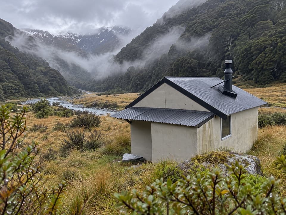 ChallengingCameron Valley Track to Cameron Hut14 km · 11 hr · 14.3 km awayA tiny hut beyond a steep gorge and an unbridged river.
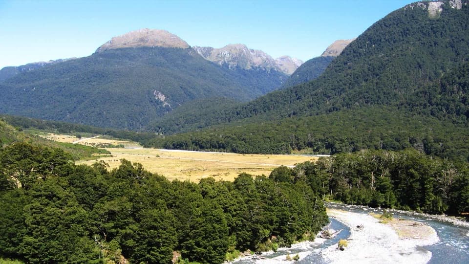 EasyCameron Lookout Walk1 km · 20 min · 14.3 km awayA short beech-forest climb to a platform above Cameron Creek.
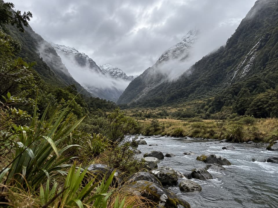 ChallengingBlue Valley Track32 km · 18 hr · 15.4 km awayA remote out-and-back through beech forest to Blue Valley's upper flats.
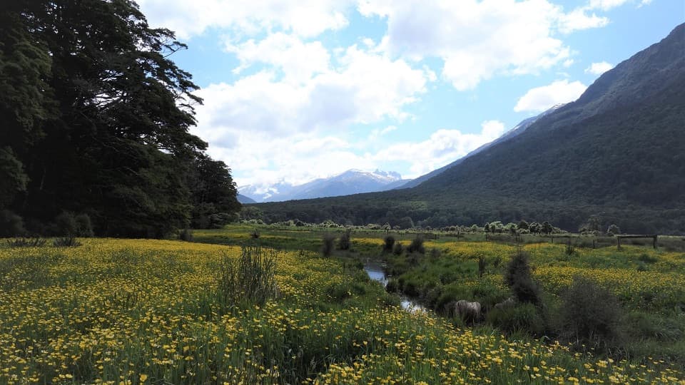 ModerateYoung River Link Track14 km · 3.5 hr · 15.4 km awayA longer return through beech forest and pasture to the Young River
Parkwolf’s Queenstown-Lakes District ranking

The audio tour guide for the drive, plus offline maps, trails, and wildlife heatmaps for when the signal drops.