Baldwin Trail No. 191 in Red Rock State Park

#4 of 12 trails in Red Rock

Red Rock State Park, AZ

Baldwin Trail No. 191

An easy loop between Oak Creek shade and Cathedral Rock views.

Length
2.1mi
Time
1.5hr
Elev. change
148ft
Difficulty
Easy
  • Loop
  • Dogs allowed
  • High point 4,127 ft

Hear the audio tour

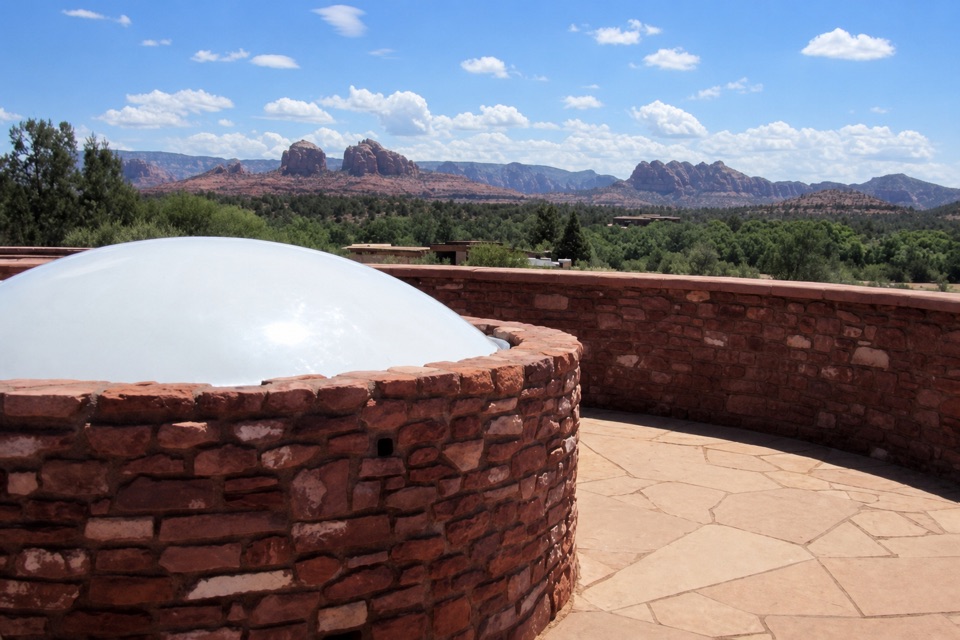
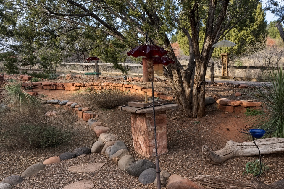
Miller Visitor Center and Hummingbird Garden

Overview

About Baldwin Trail No. 191

Why go

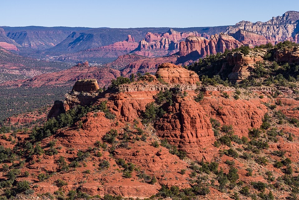
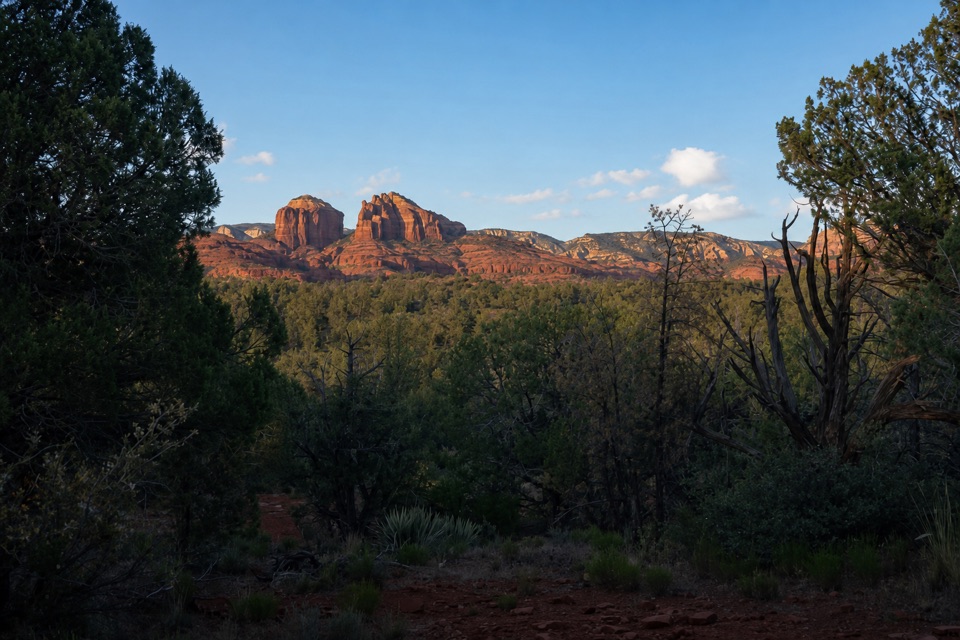
  • Cathedral Rock and Wilson Mountain views from a short loop
  • Creek-side shade adds a different setting to the red-rock climb

Heads up

  • Little shade on the open climb in summer
  • Small trailhead lot can fill early
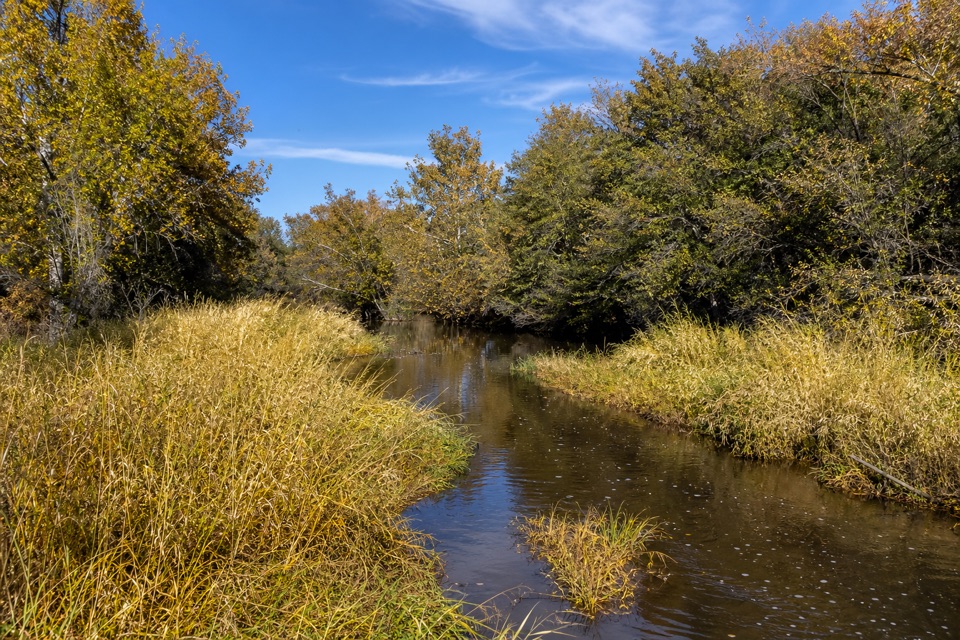
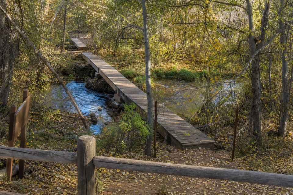
A creek-side branch can bring you close enough to see Cathedral Rock reflected in still water. Keep some of Oak Creek in the foreground if you want to show the reflection's scale. It is an optional detour, and calm water is a condition, not a guarantee; the water stop is outside the measured loop.
Parkwolf’s verdictA worthwhile creek view

Map & elevation

The route

Loading the Red Rock map
Full map
Elevation3,980–4,127 ft
TrailheadBaldwin Trailhead34.82174, -111.80807
Keep this map with you offline in the Parkwolf app

Plan your hike

Before you go

Parking

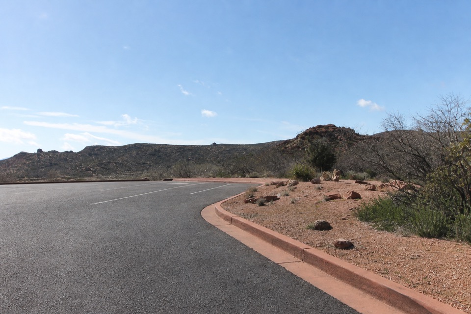
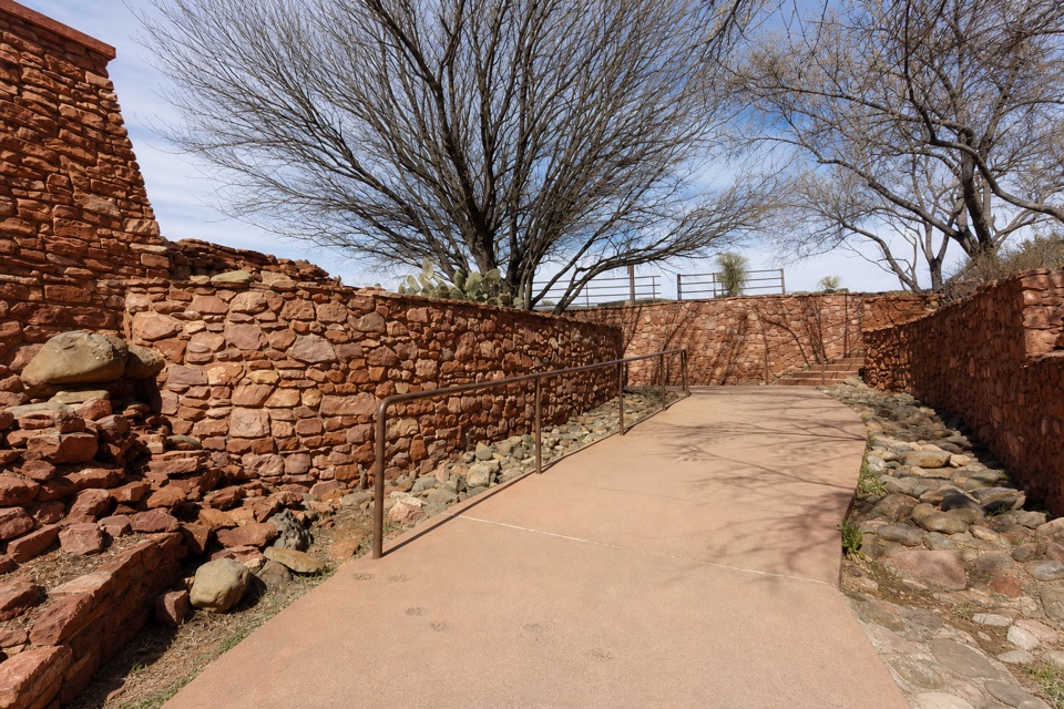
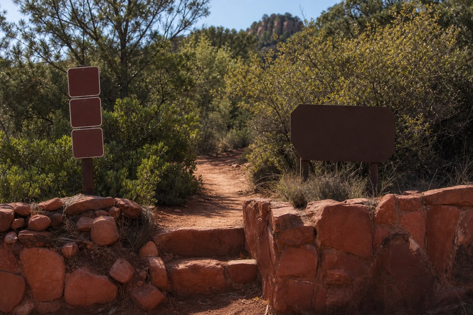
Use the Forest Service lot on the west side of Verde Valley School Road near its western end, then cross the road to the signed trailhead on the east. A Red Rock Pass or America the Beautiful pass is required. The small lot can fill early; restrooms are available at the access.


Safety

The open higher section has little shade and can be very hot in summer. A Red Rock Pass or America the Beautiful pass is required to park at the trailhead.

A park ranger sits on a dash-mounted phone, talking, as Parkwolf’s Tour Guide plays “Army Cutworm Moths: A Grizzly Bear Buffet” on Grand Loop Road below Dunraven Pass in Yellowstone
Parkwolf Tour GuideThe highest, rockiest slopes around here are a summer buffet for grizzly bears.

Red Rock Tour Guide

Your drive to Baldwin Trail No. 191, narrated.

Parkwolf is a GPS audio tour guide for Red Rock State Park. As you drive, it chimes in with what’s ahead: hidden gems, upcoming stops, history, geology, and wildlife, right through your car’s speakers.

Recorded for this area

Miller Visitor Center and Hummingbird Garden
0:00 / 0:28
“Coming up is Miller Visitor Center, a useful short stop for getting to know the park's plants and wildlife.”

Plays on the road 1.4 mi from the trailhead in the Parkwolf Red Rock Tour Guide.

More stories near here in the app

  • Eagle's Nest and Apache Fire
  • Twin Cypress and Habicamp
  • Lime Kiln Trailhead
  • 4 audio storiesacross Red Rock’s roads, triggered by GPS as you drive
  • Wildlife heatmapsfor Mule Deer, Gila Woodpecker, Clark's Spiny Lizard, and 10 more
  • Works offlinemaps, 12 trails, 11 places, and audio download before you lose signal
  • CarPlay readysimple controls built for the drive
★★★★★
“Fantastic app with many points of information… It’s great to just turn on while you’re driving and it gives you an audio tour of the national Park. We love it!!!!”
JMJamesApp Store review
Download Parkwolf on the App StoreGet Parkwolf on Google Play

4.7 from 8,600+ ratings

Trail guide

Hiking Baldwin Trail No. 191

The full loopBaldwin Trail No. 191 is an easy, 2.

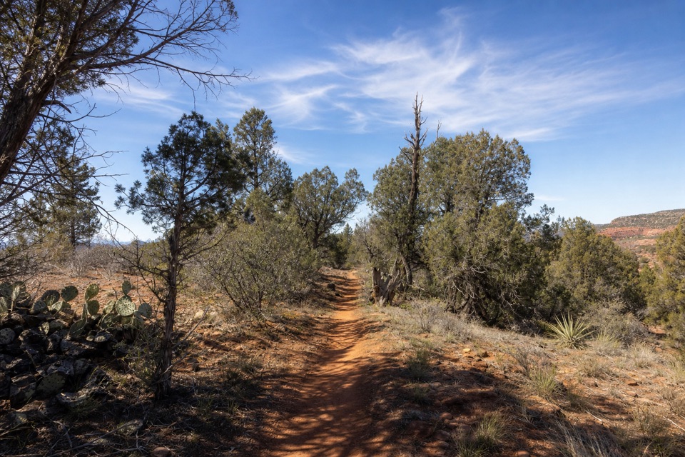
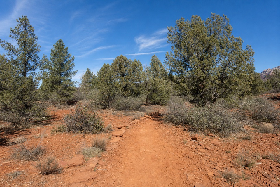
Baldwin Trail No. 191 is an easy, 2.08-mile loop from the signed Forest Service trailhead on Verde Valley School Road. It drops toward Oak Creek's riparian valley, climbs through a draw between Cathedral Rock and a smaller red rock butte, then returns along another stretch of the named trail. Allow about an hour and a half at a relaxed pace. It is a good choice for Cathedral Rock scenery without taking the steep summit trail. It is associated with Red Rock State Park's East Gate access, but the trailhead is on Verde Valley School Road.

Stay on BaldwinThe first section crosses a wash and descends toward creek-level vegetation.

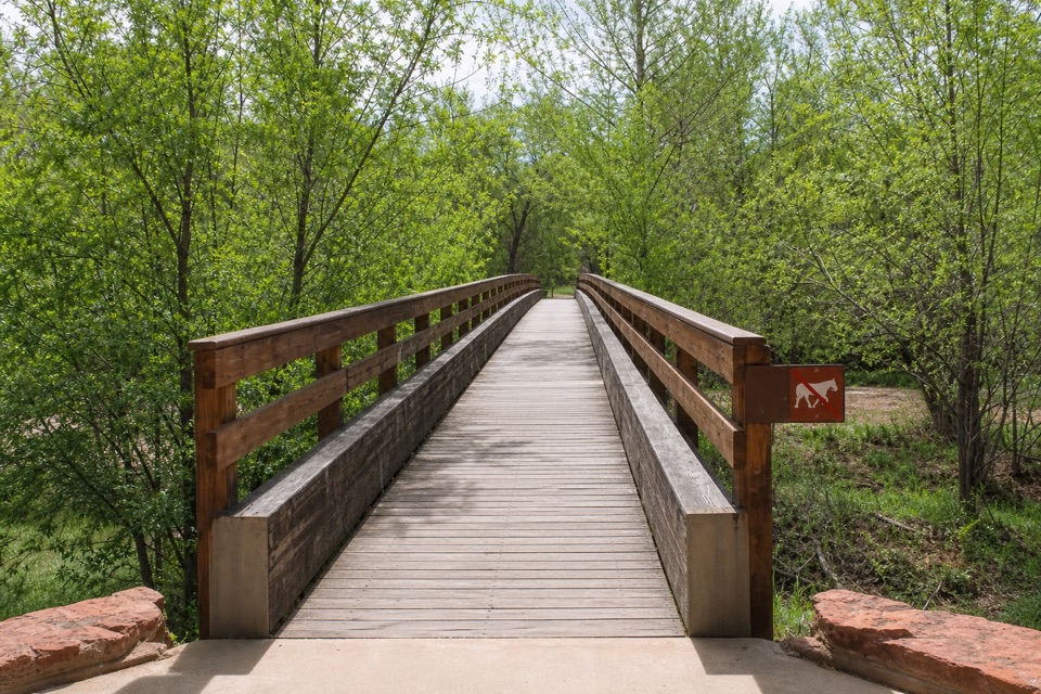
The first section crosses a wash and descends toward creek-level vegetation. At roughly half a mile, the trail meets Templeton; follow the Baldwin branch to stay on this loop. The route then climbs through a draw, levels, and descends back toward Verde Valley School Road. Templeton and the smaller creek paths lead elsewhere, so note the junctions if you step off the main circuit.

Oak Creek is close byThe trail runs through the riparian valley near Oak Creek, but the stream is often hidden from…

The trail runs through the riparian valley near Oak Creek, but the stream is often hidden from view. Several footpaths lead to creek access spots, where the vegetation gives the lower stretch more shade than the open climb. Those paths are optional side trips, not part of the 2.08-mile loop. If you take one, return to the same junction before continuing around Baldwin.

Through the red-rock drawPast the Templeton junction, the trail climbs moderately between Cathedral Rock and an unnamed…

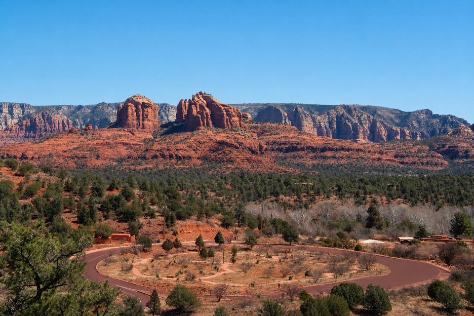
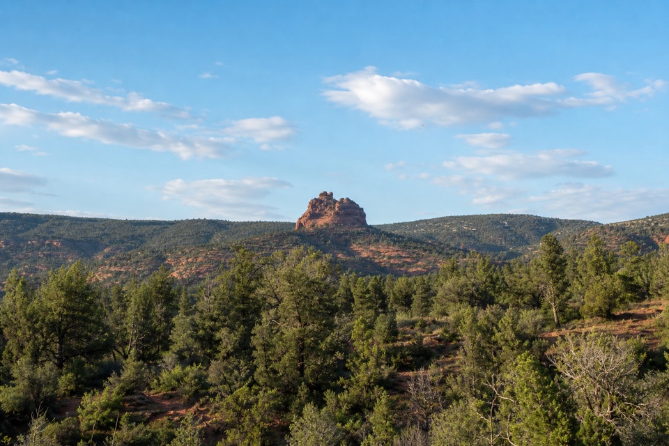
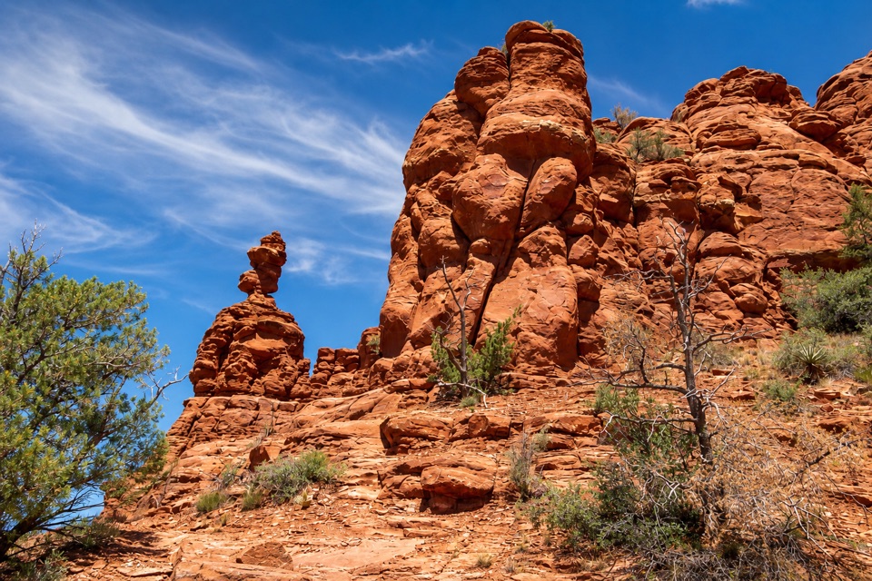
Past the Templeton junction, the trail climbs moderately between Cathedral Rock and an unnamed red-rock butte. It eventually levels out and descends southwest. Cathedral Rock appears from changing angles, and looking back brings Wilson Mountain into view. The route circles the butte rather than climbing to a summit; the scenery is the payoff, not a high point.

Sun, parking and dogsMuch of the higher trail is exposed.

Much of the higher trail is exposed. The Forest Service warns that Cathedral Rock area trails can be very hot in summer, and the creek-side shade does not continue through the climb. Baldwin is also used by mountain bikers, so pay attention at bends and junctions. Park in the Forest Service lot on the west side of Verde Valley School Road, then cross to the marked trail on the east. A Red Rock Pass or America the Beautiful pass is required to park. Visitors report that the small lot can fill early; restrooms are available at the trailhead. Dogs are allowed on this Forest Service route on leash, and handlers must remove waste.

The name and a shorter choiceThe trail takes its name from a former owner of Crescent Moon Ranch.

The trail takes its name from a former owner of Crescent Moon Ranch. If you want a shorter walk, use the posted map to choose a branch toward Templeton or Oak Creek and turn back along it. Those branches add a different slice of the visit, but they do not complete the Baldwin loop or belong in its mapped mileage.

Wildlife

Wildlife in Red Rock

All Red Rock wildlife maps

Sighting maps show where each species has been reported across Red Rock. Wildlife moves, so no sighting is guaranteed.

Keep exploring

Near Baldwin Trail No. 191

See it all on the map

Trails that start nearby

Places near the trailhead

Parkwolf’s Red Rock ranking

Top-rated trails in Red Rock

All 12 trails
  1. 1Eagle's Nest LoopModerate · 1.6 mi
  2. 2Apache Fire LoopEasy · 1 mi
  3. 3Kisva TrailEasy · 0.6 mi
  4. 5Smoke TrailEasy · 0.4 mi
  5. 6Javelina TrailEasy · 0.7 mi
  6. 7Turkey Creek Trail No. 92Moderate · 6 mi

Take Parkwolf to Red Rock.

The audio tour guide for the drive, plus offline maps, trails, and wildlife heatmaps for when the signal drops.

4.7 from 8,600+ ratings

Download Parkwolf on the App StoreGet Parkwolf on Google Play