Javelina Trail in Red Rock State Park

#6 of 12 trails in Red Rock

Red Rock State Park, AZ

Javelina Trail

A short woodland connector with two marked viewpoints.

Length
0.7mi
Time
24min
Elev. change
72ft
Difficulty
Easy
  • No dogs
  • High point 3,976 ft

Hear the audio tour

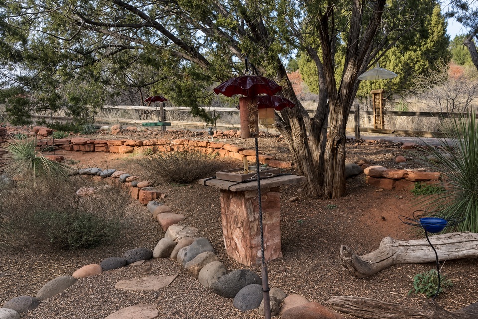
Miller Visitor Center and Hummingbird Garden

Overview

About Javelina Trail

Why go

  • Two marked viewpoints on a short woodland route

Heads up

  • The 0.7-mile distance is one way; returning adds distance

Map & elevation

The route

Loading the Red Rock map
Full map
Elevation3,904–3,976 ft
TrailheadJavelina Trail at the Apache Fire junction34.80664, -111.82374
Keep this map with you offline in the Parkwolf app

Plan your hike

Before you go

Parking

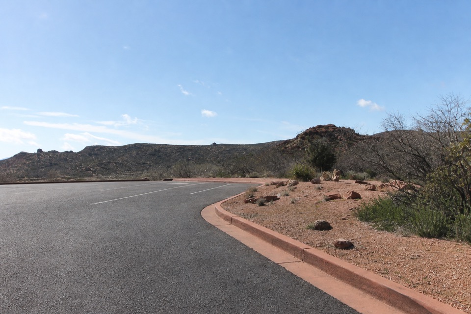
Park at Miller Visitor Center, where parking is shown beside the central trail network. The official map marks no parking at the Javelina/Apache Fire junction, so follow a marked trail connection to the segment. The 0.7 miles covers Javelina itself, not that approach or a return route.


Safety

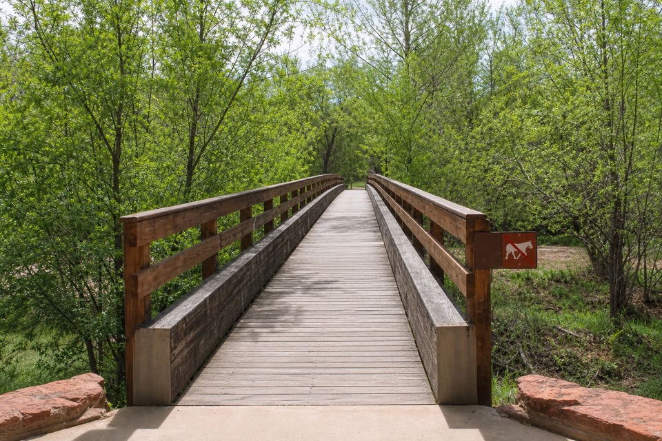
Pets are prohibited throughout the park. Stay on established trails to protect wildlife and habitat.

A park ranger sits on a dash-mounted phone, talking, as Parkwolf’s Tour Guide plays “Army Cutworm Moths: A Grizzly Bear Buffet” on Grand Loop Road below Dunraven Pass in Yellowstone
Parkwolf Tour GuideThe highest, rockiest slopes around here are a summer buffet for grizzly bears.

Red Rock Tour Guide

Your drive to Javelina Trail, narrated.

Parkwolf is a GPS audio tour guide for Red Rock State Park. As you drive, it chimes in with what’s ahead: hidden gems, upcoming stops, history, geology, and wildlife, right through your car’s speakers.

Recorded for this area

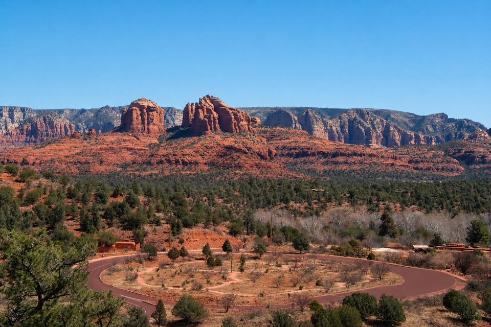
Miller Visitor Center and Hummingbird Garden
0:00 / 0:28
“Coming up is Miller Visitor Center, a useful short stop for getting to know the park's plants and wildlife.”

Plays on the road 0.5 mi from the trailhead in the Parkwolf Red Rock Tour Guide.

More stories near here in the app

  • Twin Cypress and Habicamp
  • Eagle's Nest and Apache Fire
  • Lime Kiln Trailhead
  • 4 audio storiesacross Red Rock’s roads, triggered by GPS as you drive
  • Wildlife heatmapsfor Mule Deer, Gila Woodpecker, Clark's Spiny Lizard, and 10 more
  • Works offlinemaps, 12 trails, 11 places, and audio download before you lose signal
  • CarPlay readysimple controls built for the drive
★★★★★
“Fantastic app with many points of information… It’s great to just turn on while you’re driving and it gives you an audio tour of the national Park. We love it!!!!”
JMJamesApp Store review
Download Parkwolf on the App StoreGet Parkwolf on Google Play

4.7 from 8,600+ ratings

Trail guide

Hiking Javelina Trail

A short woodland connectorJavelina Trail is a 0.

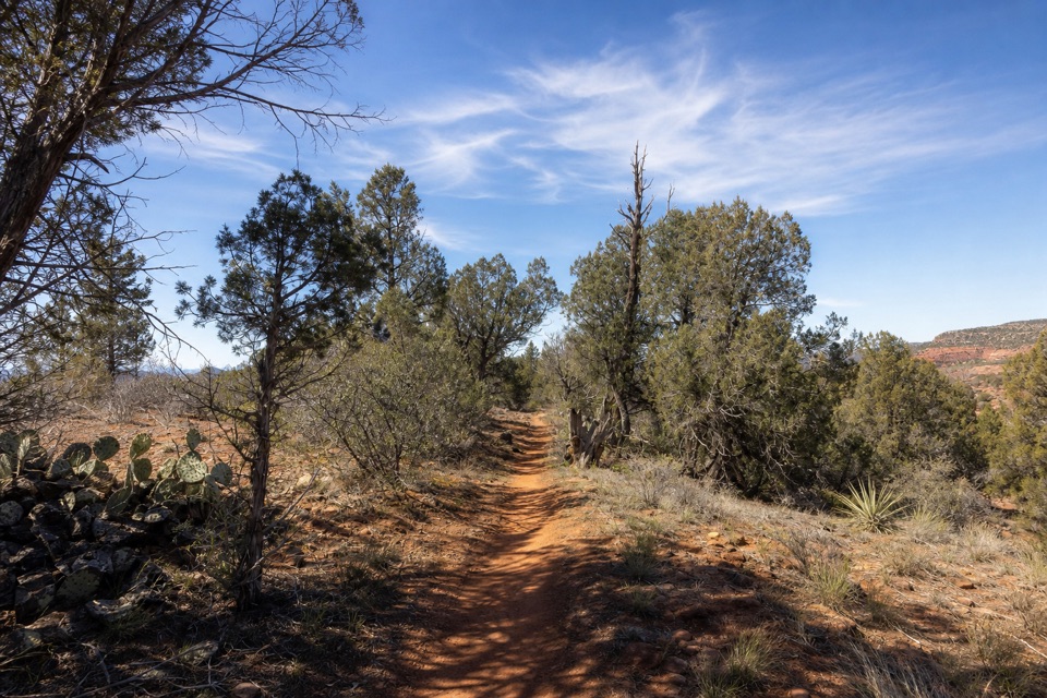
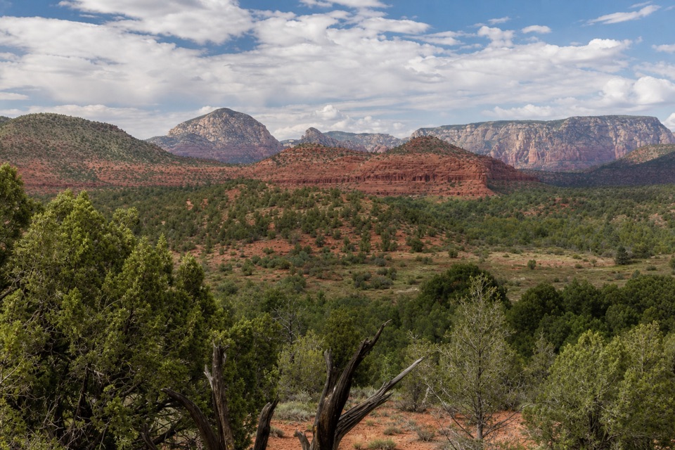
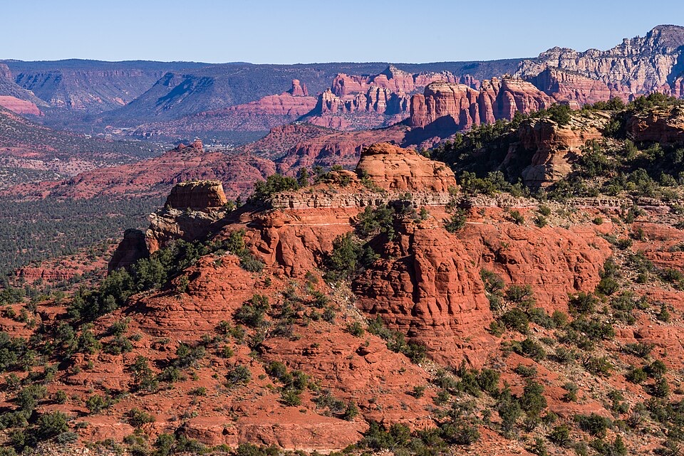
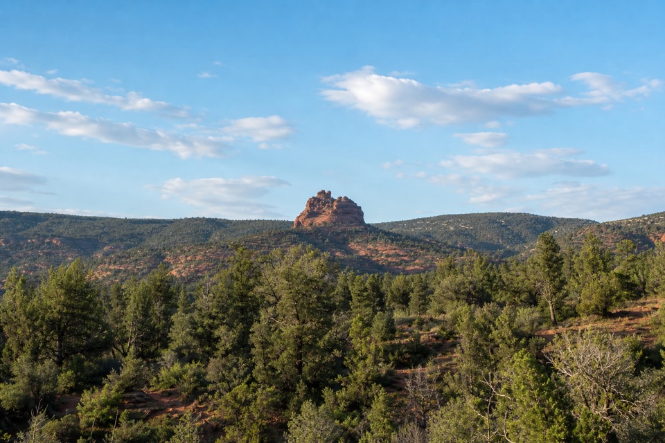
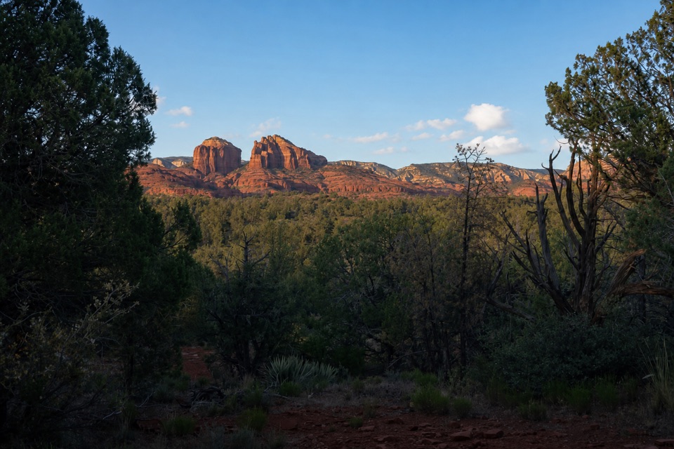
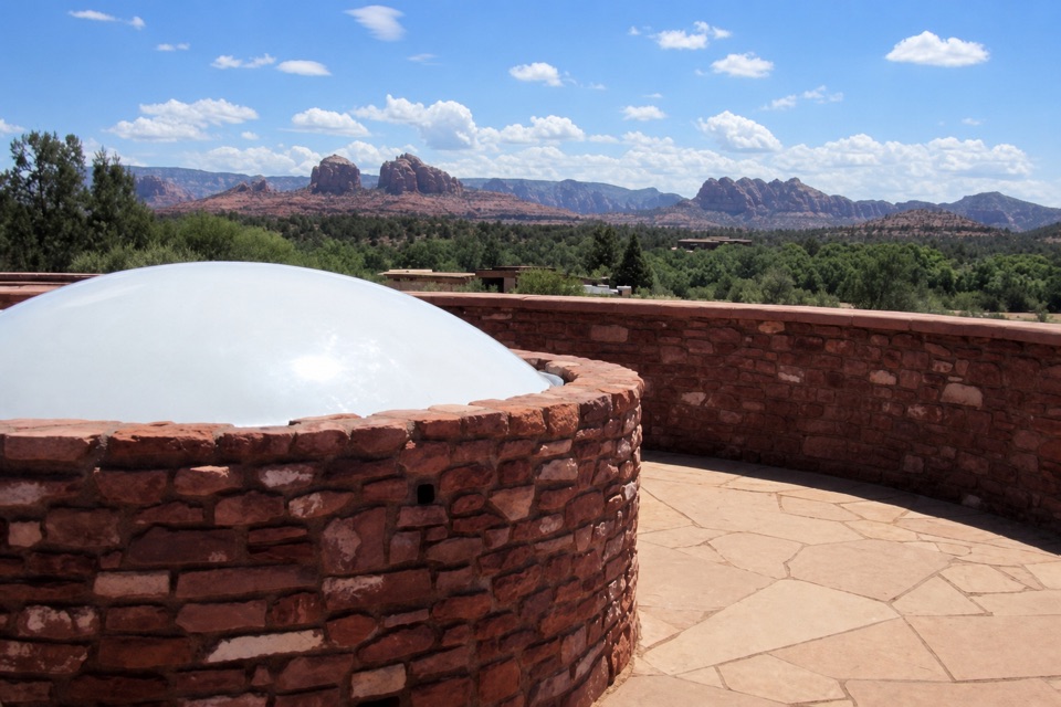
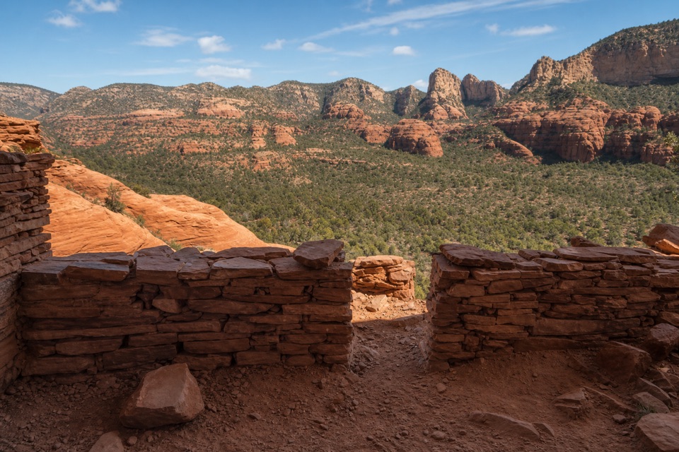
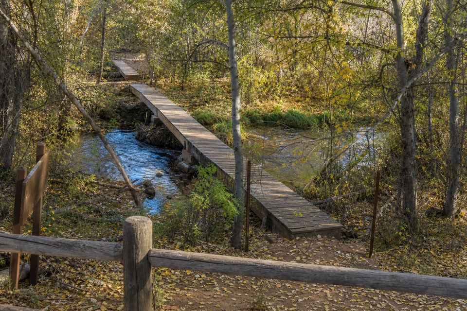
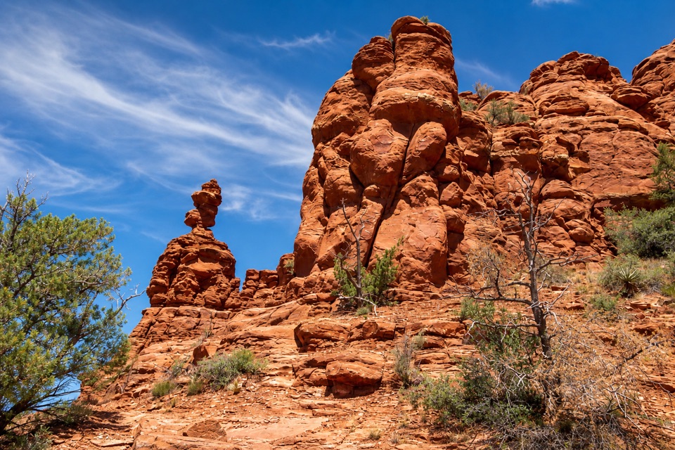
Javelina Trail is a 0.7-mile one-way connector through Red Rock State Park’s pinyon-juniper woodland, linking the Apache Fire and Kisva trail junctions. The map marks Gray Fox near the Apache Fire end and Cathedral Overlook farther along. It’s a good short add-on if you want the park’s wooded side; choose a creekside trail if Oak Creek is the draw.

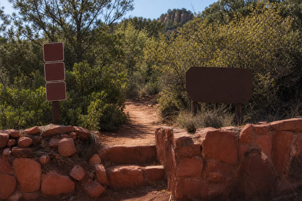
Start and returnStart at the Apache Fire junction and follow Javelina northeast to Kisva.

Start at the Apache Fire junction and follow Javelina northeast to Kisva. Allow about 20–35 minutes one way. The 0.7 miles covers the named segment only, not the walk from parking or the route back to your start. Retrace Javelina or continue on the linked trails for a longer outing.

What the tread is likeThe path is red earth with patches of exposed and embedded stone, running between pinyon,…

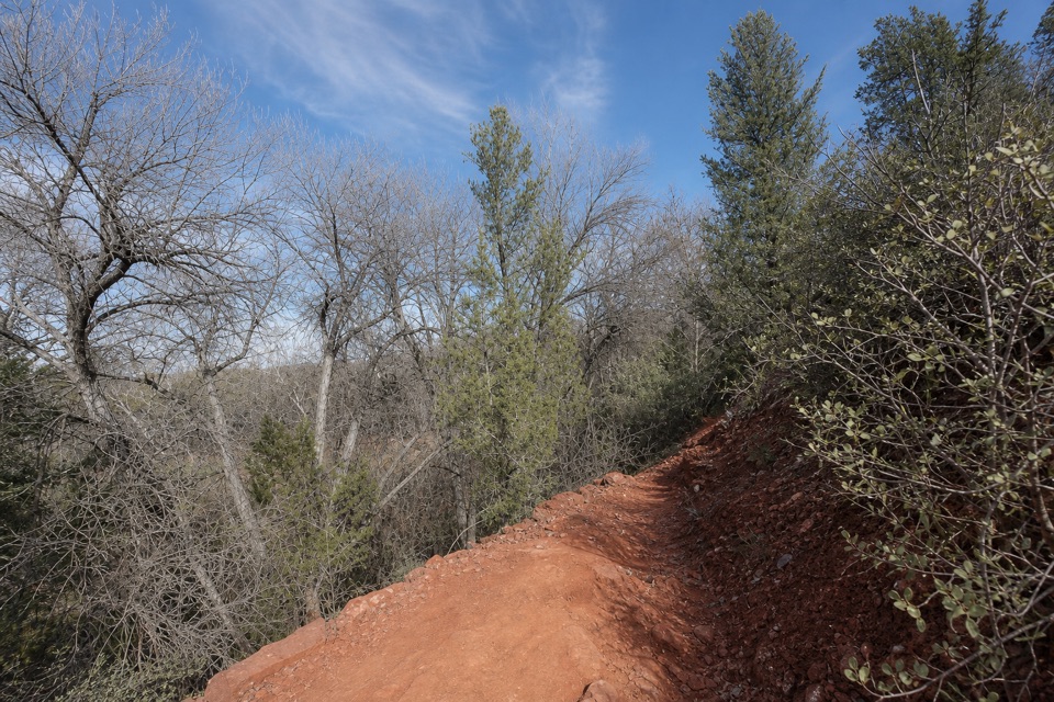
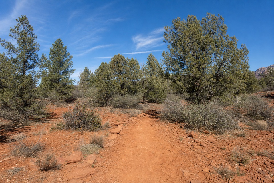
The path is red earth with patches of exposed and embedded stone, running between pinyon, juniper and low desert shrubs. This is a short woodland walk with two marked viewpoints, not a summit hike or a creekside route.

Access and park rulesPark at the Miller Visitor Center, where the map shows parking beside the central trail network.

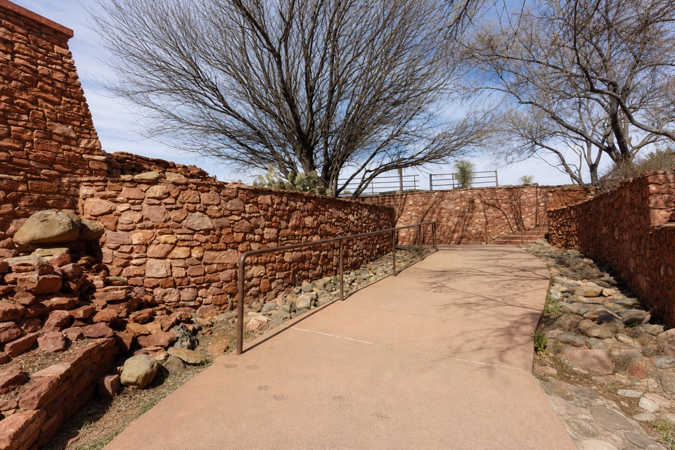
Park at the Miller Visitor Center, where the map shows parking beside the central trail network. Use the marked paths to connect to Javelina; no parking is marked at its Apache Fire junction. The visitor center has restrooms and a gift shop. Pets are not allowed anywhere in the park, and visitors must stay on established trails to protect wildlife and habitat.

Wildlife

Wildlife in Red Rock

All Red Rock wildlife maps

Sighting maps show where each species has been reported across Red Rock. Wildlife moves, so no sighting is guaranteed.

Keep exploring

Near Javelina Trail

See it all on the map

Trails that start nearby

Places near the trailhead

Parkwolf’s Red Rock ranking

Top-rated trails in Red Rock

All 12 trails
  1. 1Eagle's Nest LoopModerate · 1.6 mi
  2. 2Apache Fire LoopEasy · 1 mi
  3. 3Kisva TrailEasy · 0.6 mi
  4. 4Baldwin Trail No. 191Easy · 2.1 mi
  5. 5Smoke TrailEasy · 0.4 mi
  6. 7Turkey Creek Trail No. 92Moderate · 6 mi

Take Parkwolf to Red Rock.

The audio tour guide for the drive, plus offline maps, trails, and wildlife heatmaps for when the signal drops.

4.7 from 8,600+ ratings

Download Parkwolf on the App StoreGet Parkwolf on Google Play