Parking
Use designated park parking, then follow the signed trail network via Kisva. No separate parking area is marked at the Yavapai Ridge loop; the 0.37 mi covers the circuit, not the approach.
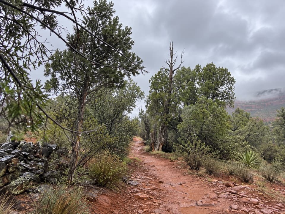
#10 of 12 trails in Red Rock
Red Rock State Park, AZ
A short ridge loop to fit into a Kisva hike.
Overview
Map & elevation
Plan your hike

The highest, rockiest slopes around here are a summer buffet for grizzly bears.
Red Rock Tour Guide
Parkwolf is a GPS audio tour guide for Red Rock State Park. As you drive, it chimes in with what’s ahead: hidden gems, upcoming stops, history, geology, and wildlife, right through your car’s speakers.
Recorded for this area
Miller Visitor Center and Hummingbird Garden“Coming up is Miller Visitor Center, a useful short stop for getting to know the park's plants and wildlife.”
Plays on the road 0.5 mi from the trailhead in the Parkwolf Red Rock Tour Guide.
More stories near here in the app
“Fantastic app with many points of information… It’s great to just turn on while you’re driving and it gives you an audio tour of the national Park. We love it!!!!”


Trail guide
Yavapai Ridge is a 0.37-mile loop reached from Kisva on the east side of Red Rock State Park. The circuit takes about 15 minutes and makes a good add-on if you’re already exploring the park’s connected trails; I wouldn’t cross the park just for this short loop. The approach from Kisva adds distance beyond the loop itself.
Follow Kisva to the Yavapai Ridge junction in the East Gate-side trail network, complete the circuit, and return to the same junction. Use designated park parking and reach the trail on foot; no separate parking lot is marked at the loop. If you’re starting from the Miller Visitor Center, add the walk to and from Kisva to your plan.
This loop sits on the park’s eastern low ridge. The wider trail network links red-rock views with the greener Oak Creek corridor, but no named overlook is marked on this circuit. Restrooms and a gift shop are at the Miller Visitor Center, a separate stop back at the park hub; no on-route food offering was identified.
Stay on designated trails. Pets are prohibited except service animals, and swimming or wading is not allowed. Blacktail rattlesnakes are seen occasionally in warmer months across the park, so give any snake room and keep to the path.
Wildlife
 68 sightingsMule DeerMost seen around 6 AMSighting map
 12 sightingsGila WoodpeckerMost seen around 7 AMSighting map
 19 sightingsClark's Spiny LizardMost seen around 9 AMSighting map
 67 sightingsOrnate Tree LizardMost seen around 10 AMSighting map
 41 sightingsGreater Earless LizardMost seen around 7 AMSighting map
 40 sightingsSide-blotched LizardMost seen around 10 AMSighting map
Sighting maps show where each species has been reported across Red Rock. Wildlife moves, so no sighting is guaranteed.
Keep exploring
 EasyJavelina Trail0.7 mi · 24 min · 0.2 mi awayA short woodland connector with two marked viewpoints.
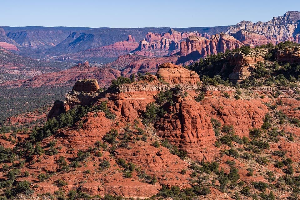 ModerateTurkey Creek Trail No. 926 mi · 4.5 hr · 0.2 mi awayA dry creek leads to a volcanic caldera view.
 EasyApache Fire Loop1 mi · 36 min · 0.3 mi awayA one-mile red-rock loop with a view of a 1940s retreat.
 EasySmoke Trail0.4 mi · 20 min · 0.4 mi awayA short Oak Creek walk with a distant Cathedral Rock view.
 EasyBunkhouse Trail0.4 mi · 20 min · 0.4 mi awayAn easy meadow loop with distant Cathedral Rock views.
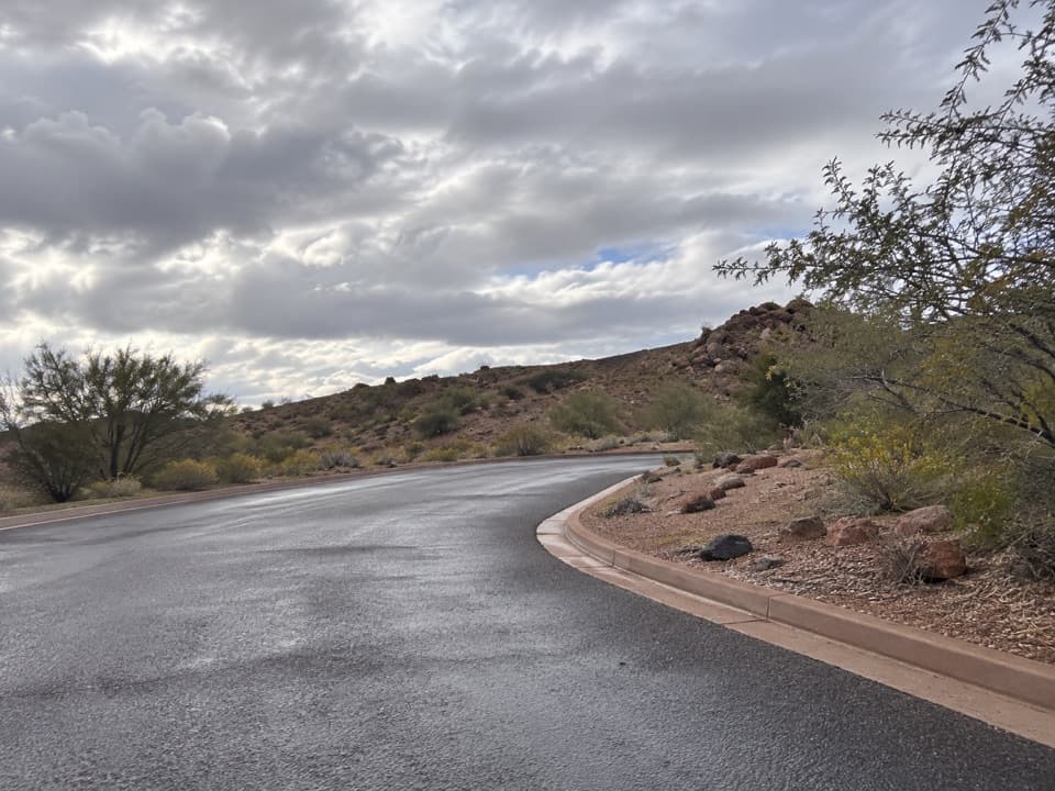 EasyMesquite Interpretive Loop0.1 mi · 10 min · 0.5 mi awayA brief interpretive loop beside the Miller Visitor Center.
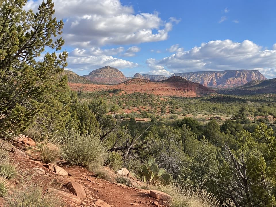 EasyCoyote Ridge Trail0.2 mi · 9 min · 0.5 mi awayA short ridge connector with several open, red-sandstone views.
 ModerateEagle's Nest Loop1.6 mi · 1.5 hr · 0.7 mi awayA short switchback climb pays off with Sedona’s red-rock panorama.
 Sight · At the trailheadCathedral OverlookA walk-in viewpoint on Red Rock's eastern Javelina loop.
 Sight · 0.2 mi awayGray Fox OverlookA red-rock butte above pinyon-juniper woodland.
 Sight · 0.2 mi awayHouse of Apache FiresA 1940s pueblo-style home on a short Oak Creek trail detour.
 Sight · 0.2 mi awayKingfisher BridgeA shaded creek crossing where river otters may appear.
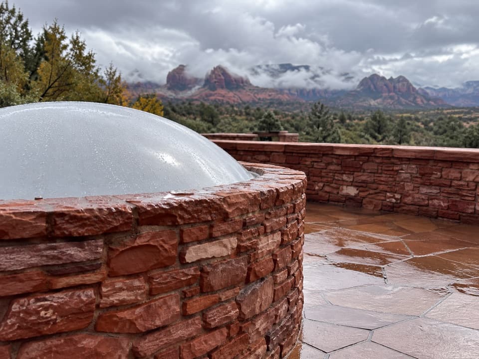 Visitor center · 0.4 mi awayMiller Visitor CenterA quick habitat primer, with red rocks from the rooftop deck.
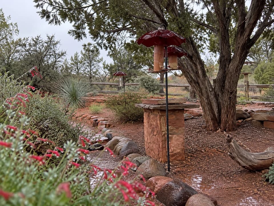 Sight · 0.4 mi awayHummingbird GardenPause by the feeders on your way past the visitor center.
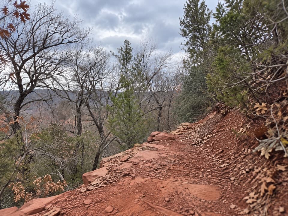 Sight · 0.5 mi awayRed Hawk OverlookA named overlook on the southern Eagle's Nest trail.
 Sight · 0.6 mi awayEagle's Nest OverlookThe park’s high point makes you earn its red-rock view.
Parkwolf’s Red Rock ranking

The audio tour guide for the drive, plus offline maps, trails, and wildlife heatmaps for when the signal drops.

