Pros & cons
PROS
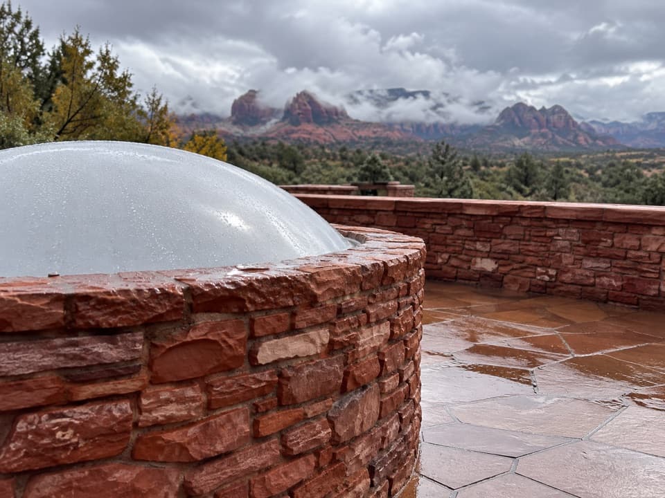
- Highest viewpoint in the park for big red-rock panoramas
- Loop mixes exposed ridge with shaded creekside walking
CONS
- Very limited shade on the climb—hot in warm months
- Per-person entry fee here; other local passes aren’t valid
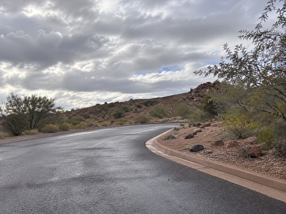
Park at the Red Rock State Park Visitor Center lot off AZ‑89A; paved access and restrooms available.
Exposed heat on the ridge, some rocky footing and stepping stones; watch for wildlife and respect day-use closing times.
Overview
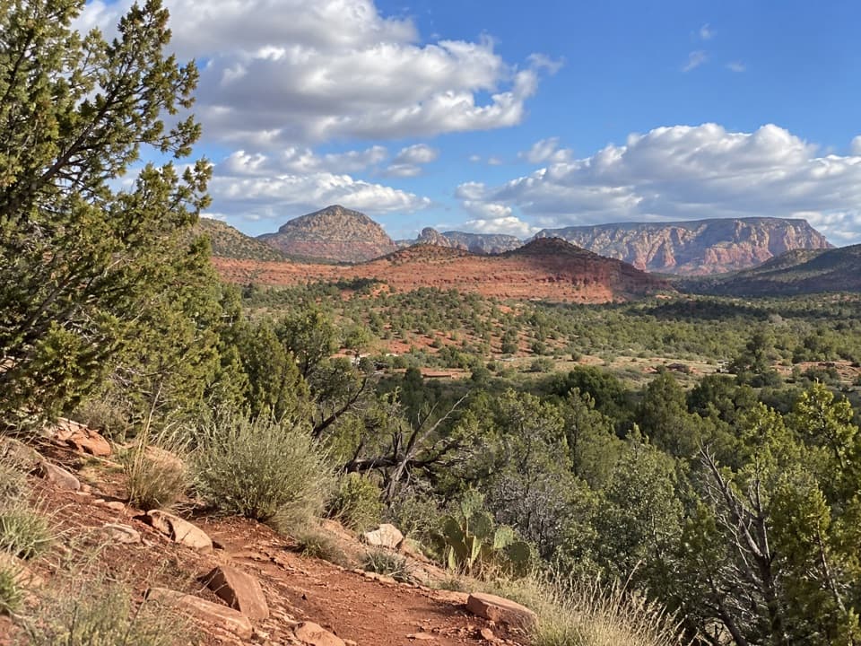
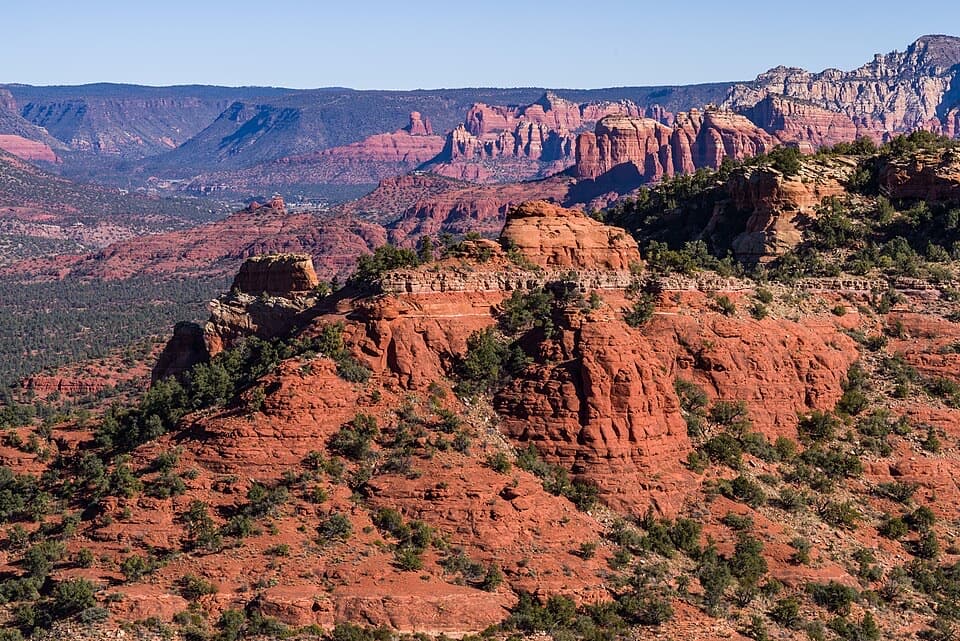
Eagle’s Nest Loop is Red Rock State Park’s signature ridge-and-creek circuit, topping out at the park’s highest viewpoint before dropping to the shady banks near Oak Creek. Expect wide Sedona red-rock vistas from the ridge and a quieter riparian feel near the water. The loop is approximately 2.4 miles total with about 300 feet of elevation gain, and most hikers take 1–1.5 hours.
Route
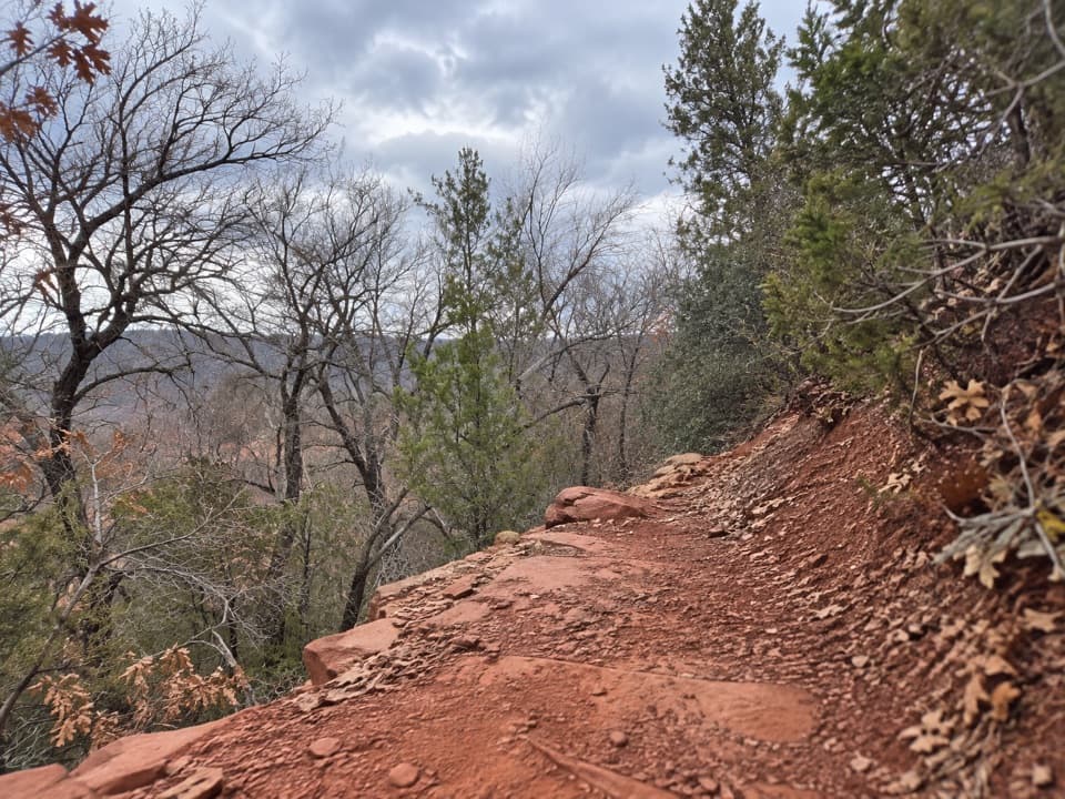
Start near the Visitor Center and follow the well-signed loop as it climbs steadily to Eagle’s Nest. The footing is mostly packed dirt with some rocky sections and occasional stepping stones. After soaking in the panoramic views, the trail descends toward the creek to close the loop. Wayfinding is straightforward thanks to good signage and interpretive plaques along the way.
Best Times to Hike
Go in fall, winter, or spring for mild temps and clearer skies. Summer is often extremely hot and dry—start early if you go then, as the climb is exposed with minimal shade until you reach the creek corridor. Day-use hours apply, so plan your start time accordingly rather than banking on post-sunset light.
Know Before You Go
Red Rock State Park charges a per-person day-use fee and operates with set day-use hours. Pets are not permitted on the trails. Facilities and staff at the Visitor Center are helpful for current conditions and a printed map. Carry plenty of water, sun protection, and basic electrolytes; there’s little shade on the ridge.
Geology Snapshot
Those iconic red cliffs you’re gazing at are layers of ancient dunes and shallow seas. The Schnebly Hill Formation (source of the red hues) was shaped by wind-blown sands, later overlain by lighter Coconino Sandstone dunes and additional marine deposits—an eye-level timeline spanning hundreds of millions of years.
Extend or Compare
If you want more miles, this loop links into the park’s compact network via signed connectors like Coyote Ridge and Apache Fire. Prefer a shorter sampler? Stick to the creekside sections for shade and wildlife viewing; for ridge views, prioritize the climb to Eagle’s Nest and return the same way.
Elevation
2.4 mi · 1.3 hrWhere it starts
34.8115, -111.8286Wildlife on this trail
Near Eagle's Nest Loop
All places →All trails →
0 mi awayApache Fire LoopShort climb to a 1940s hilltop house with big Sedona viewsEasy · 0.8 mi · 30 min
0 mi awaySmoke TrailShort Oak Creek stroll with Cathedral Rock peeks and easy links.Easy · 0.7 mi · 42 min
0 mi awayYavapai Ridge TrailShort ridge loop off Kisva with easy views and creekside approachEasy · 0.4 mi · 15 min
0 mi awayHouse of Apache FirePueblo Revival hilltop home with big views and a storied pastScenic Viewpoint · Parking
0 mi awayMiller Visitor CenterSmart first stop for exhibits, films, and trail intelVisitor Center · Exhibit
0 mi awaySmoke Trail OverlookQuick Oak Creek viewpoint steps from the Visitor CenterScenic Viewpoint · Parking
0.3 mi awayHouse of Apache Fires OverlookShort bluff-top walk to a historic home with big Sedona viewsScenic Viewpoint · Trailhead
0.4 mi awayCrescent Moon Ranch at Red Rock CrossingIconic Cathedral Rock reflections on an easy creekside stroll.Easy · 1.9 mi · 48 min