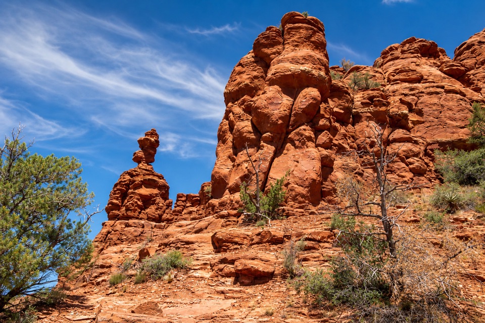
Parking
Use the parking area beside Miller Visitor Center; the Bunkhouse loop starts just east of the center.
#8 of 12 trails in Red Rock
Red Rock State Park, AZ
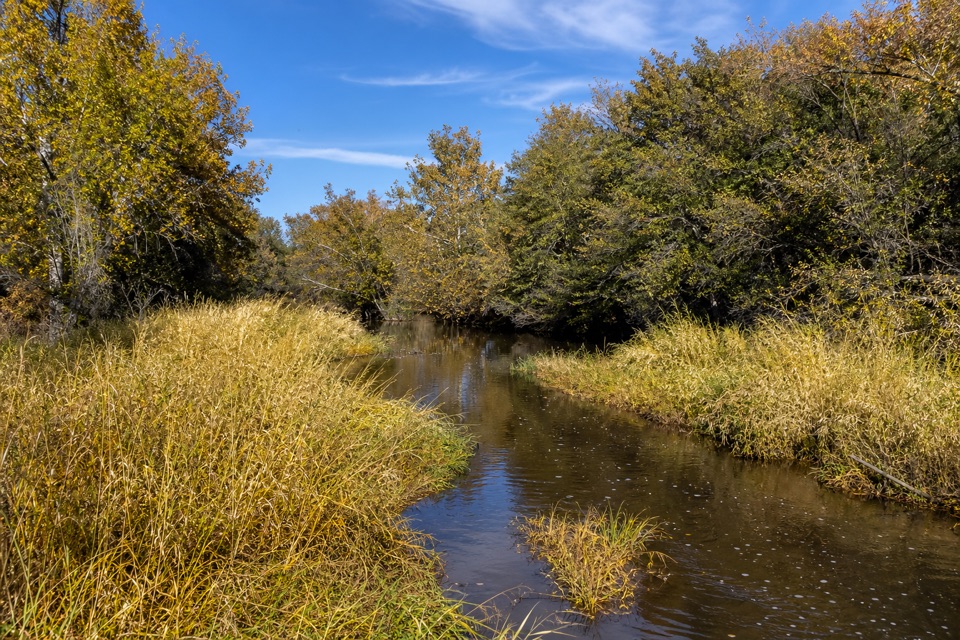
An easy meadow loop with distant Cathedral Rock views.
Overview
Map & elevation
Plan your hike

The highest, rockiest slopes around here are a summer buffet for grizzly bears.
Red Rock Tour Guide
Parkwolf is a GPS audio tour guide for Red Rock State Park. As you drive, it chimes in with what’s ahead: hidden gems, upcoming stops, history, geology, and wildlife, right through your car’s speakers.
Recorded for this trailhead
Miller Visitor Center and Hummingbird Garden“Coming up is Miller Visitor Center, a useful short stop for getting to know the park's plants and wildlife.”
Plays as you drive up to this trailhead in the Parkwolf Red Rock Tour Guide.
More stories near here in the app
“Fantastic app with many points of information… It’s great to just turn on while you’re driving and it gives you an audio tour of the national Park. We love it!!!!”


Trail guide
The 0.4-mile Bunkhouse Trail is a nearly level loop east of the Miller Visitor Center, circling an open meadow for distant Cathedral Rock views. It is a good choice for a quick, easy walk between longer hikes; allow about 20 minutes with a pause to look across the meadow.
The route stays close to the visitor-center meadow, with a broad view toward Sedona's red-rock country rather than a close approach to the formations. The open ground makes this a better pick for an easy landscape walk than for a strenuous or secluded hike.
The Bunkhouse loop closes back at its starting area. A separate connector leads toward Kingfisher Bridge over Oak Creek if you want to add more walking; that crossing is outside the 0.4-mile loop. Miller Visitor Center has restrooms, a gift shop and picnic ramadas. Park admission is required, dogs are prohibited, and visitors must stay on designated trails.
Wildlife
 68 sightingsMule DeerMost seen around 6 AMSighting map
 12 sightingsGila WoodpeckerMost seen around 7 AMSighting map
 19 sightingsClark's Spiny LizardMost seen around 9 AMSighting map
 66 sightingsOrnate Tree LizardMost seen around 10 AMSighting map
 41 sightingsGreater Earless LizardMost seen around 7 AMSighting map
 37 sightingsSide-blotched LizardMost seen around 10 AMSighting map
Sighting maps show where each species has been reported across Red Rock. Wildlife moves, so no sighting is guaranteed.
Keep exploring
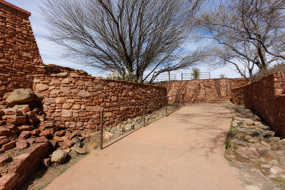 EasySmoke Trail0.4 mi · 20 min · 0.1 mi awayA short Oak Creek walk with a distant Cathedral Rock view.
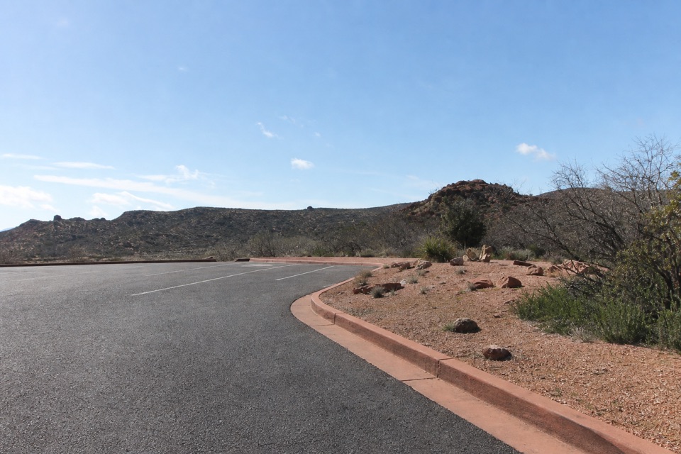 EasyMesquite Interpretive Loop0.1 mi · 10 min · 0.1 mi awayA brief interpretive loop beside the Miller Visitor Center.
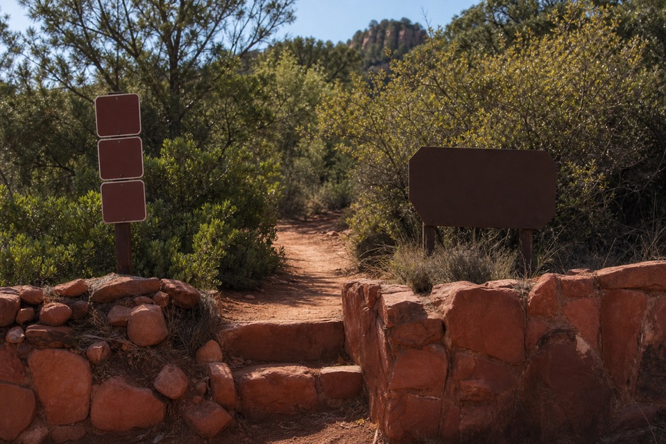 EasyApache Fire Loop1 mi · 36 min · 0.2 mi awayA one-mile red-rock loop with a view of a 1940s retreat.
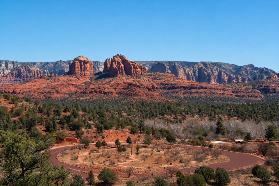 ModerateEagle's Nest Loop1.6 mi · 1.5 hr · 0.2 mi awayA short switchback climb pays off with Sedona’s red-rock panorama.
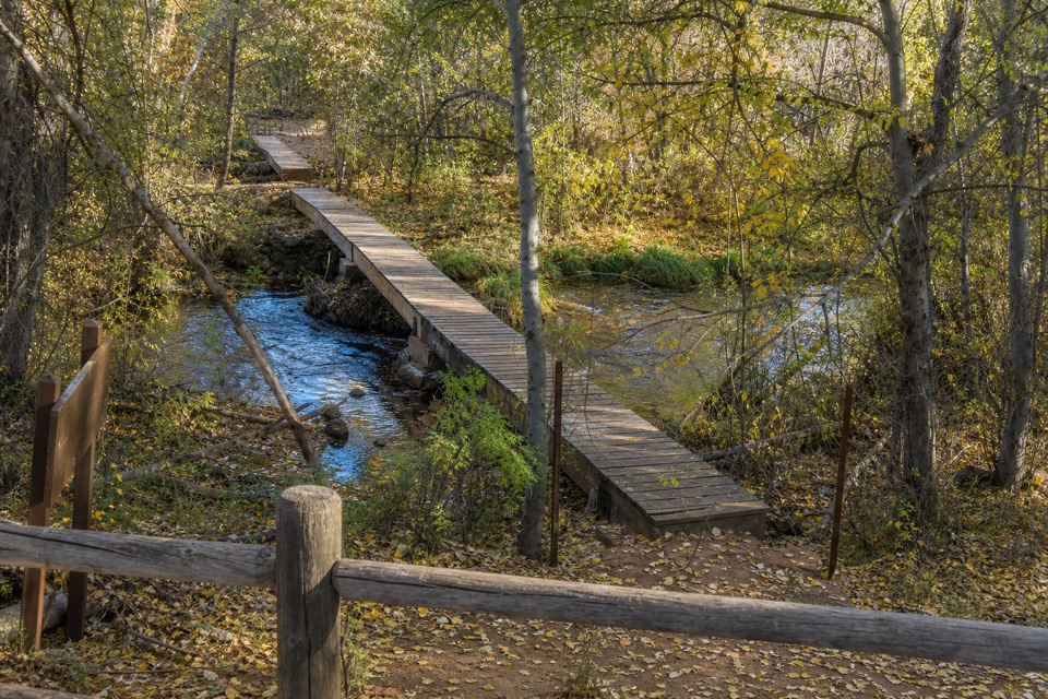 EasyKisva Trail0.6 mi · 24 min · 0.2 mi awayFollow a short connector into Oak Creek's cottonwood shade.
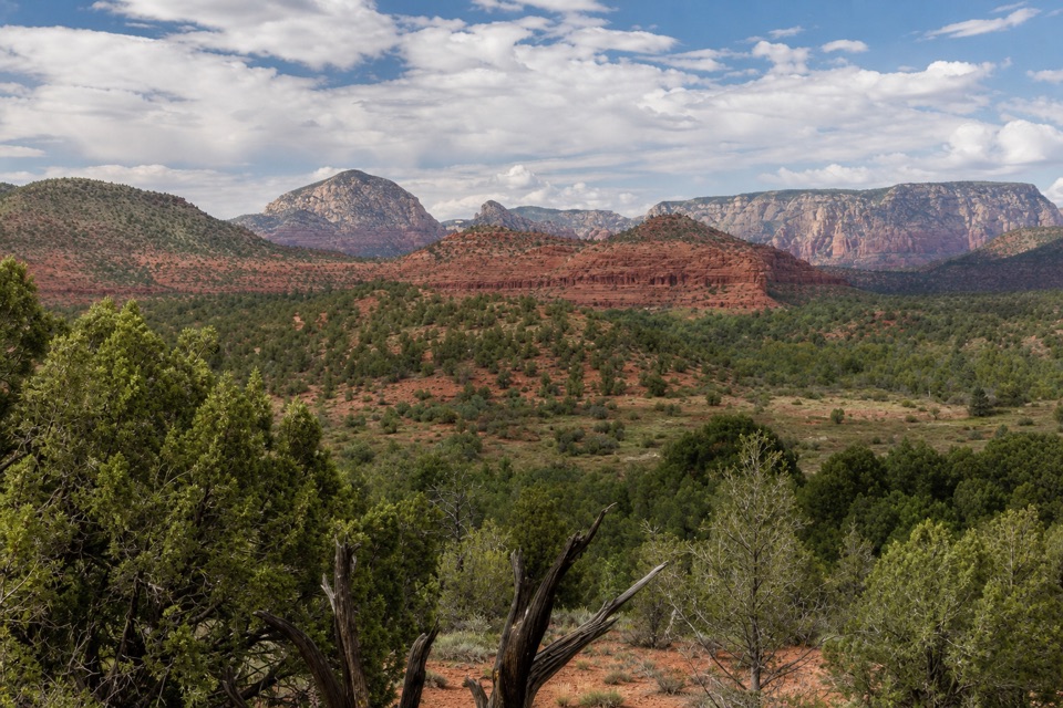 EasyCoyote Ridge Trail0.2 mi · 9 min · 0.3 mi awayA short ridge connector with several open, red-sandstone views.
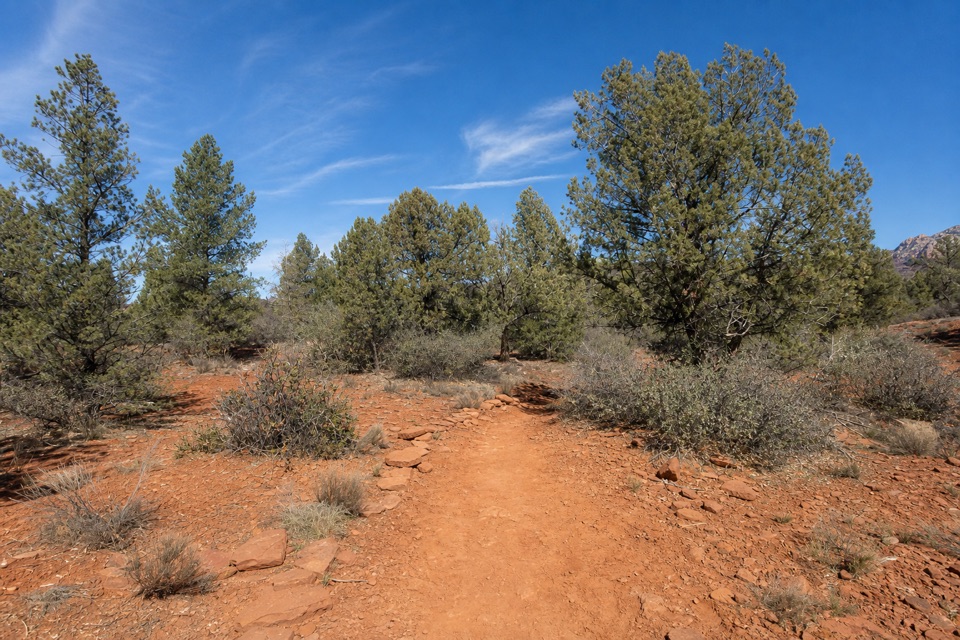 EasyJavelina Trail0.7 mi · 24 min · 0.4 mi awayA short woodland connector with two marked viewpoints.
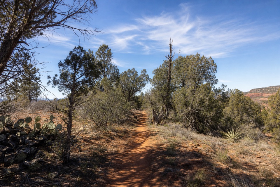 EasyYavapai Ridge Trail0.4 mi · 15 min · 0.4 mi awayA short ridge loop to fit into a Kisva hike.
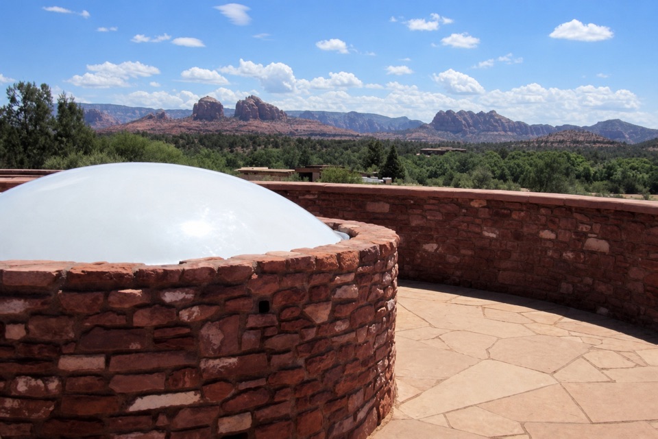 Visitor center · At the trailheadMiller Visitor CenterA quick habitat primer, with red rocks from the rooftop deck.
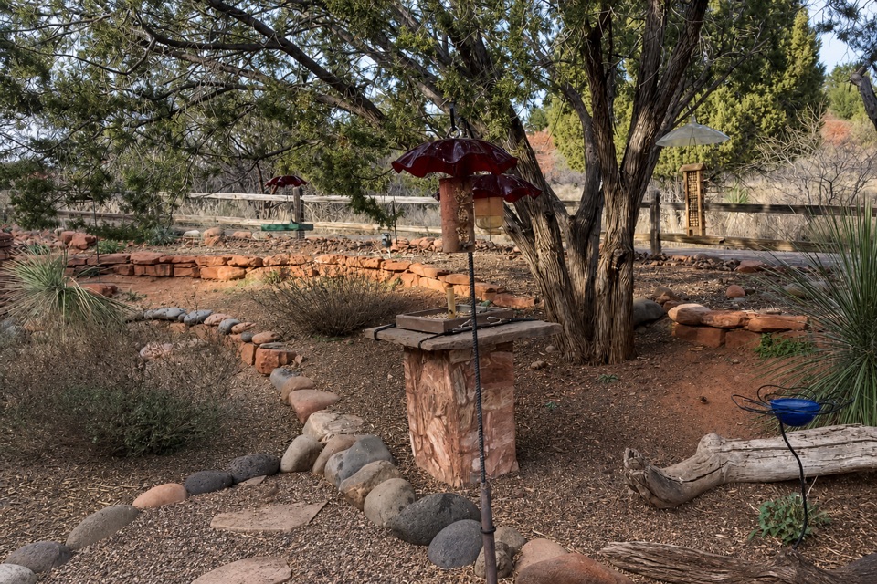 Sight · At the trailheadHummingbird GardenPause by the feeders on your way past the visitor center.
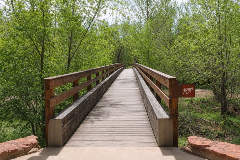 Sight · 0.2 mi awayKingfisher BridgeA shaded creek crossing where river otters may appear.
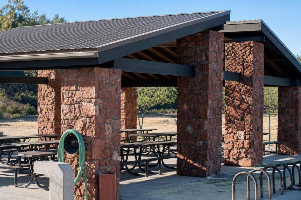 Picnic area · 0.2 mi awayTwin Cypress RamadaA shaded group picnic stop with 13 movable tables and grills.
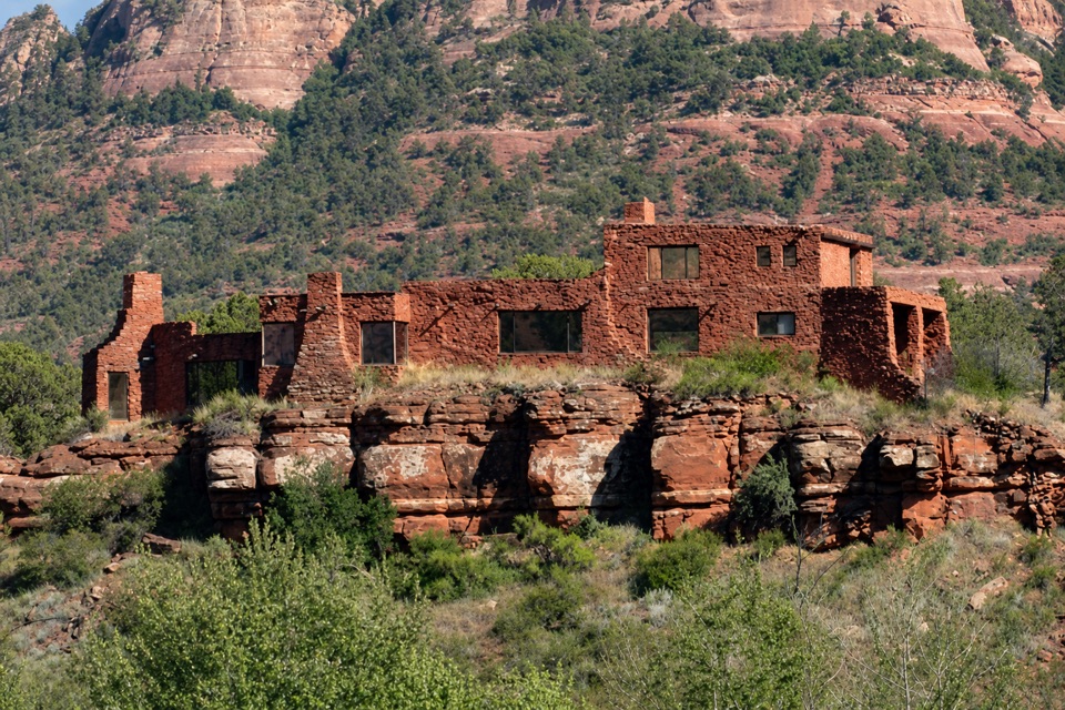 Sight · 0.3 mi awayHouse of Apache FiresA 1940s pueblo-style home on a short Oak Creek trail detour.
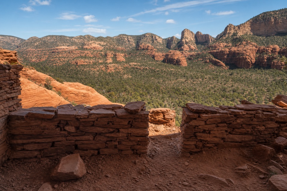 Sight · 0.3 mi awayEagle's Nest OverlookThe park’s high point makes you earn its red-rock view.
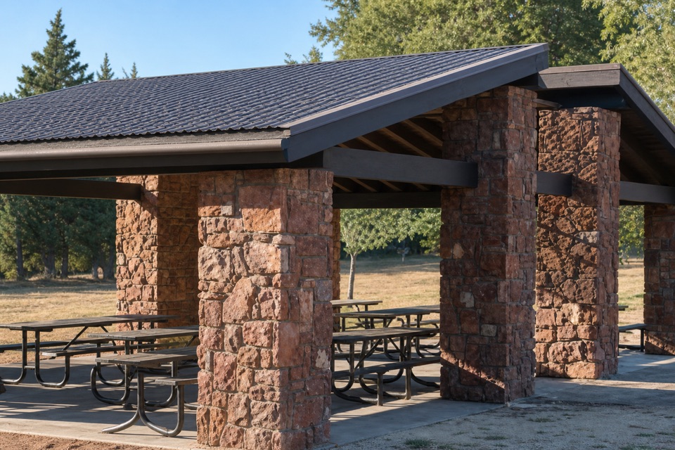 Picnic area · 0.3 mi awayHabicamp RamadasA shady base for groups of up to 50.
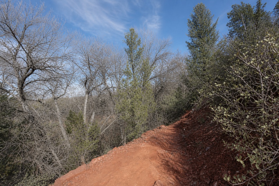 Sight · 0.3 mi awayRed Hawk OverlookA named overlook on the southern Eagle's Nest trail.
Parkwolf’s Red Rock ranking

The audio tour guide for the drive, plus offline maps, trails, and wildlife heatmaps for when the signal drops.