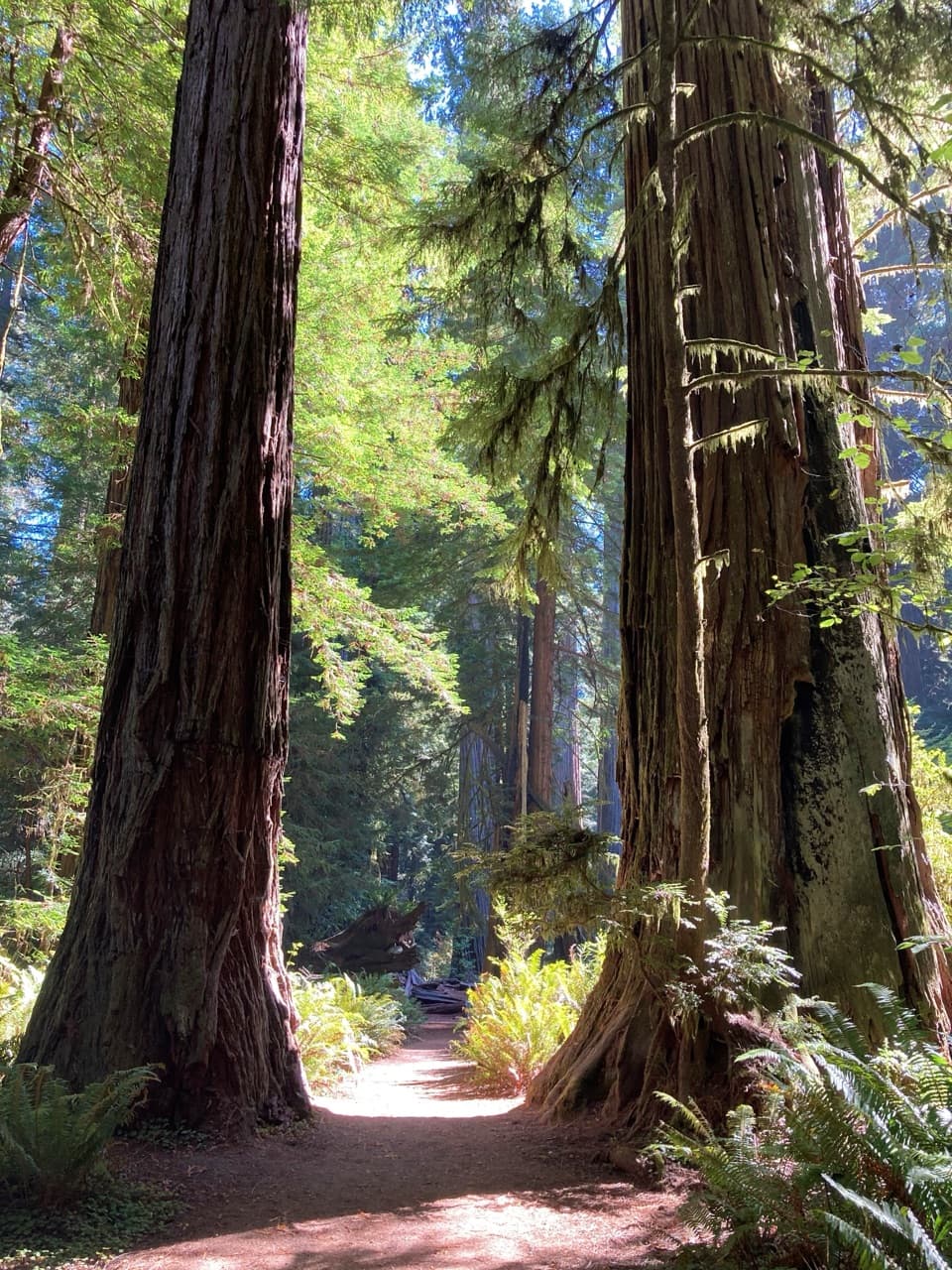
Bigfoot Trail: Little Bald Hills-Paradise Section in Redwood National Park

Redwood National Park, CA

Bigfoot Trail: Little Bald Hills-Paradise Section

A redwood climb that trades shade for open ridge and river views.

Length
9.8mi
Time
6hr
Elev. change
1,690ft
Difficulty
Challenging
  • No dogs
  • High point 1,959 ft

Hear the audio tour

River Trail

Overview

About Bigfoot Trail: Little Bald Hills-Paradise Section

Why go

  • Climbs from redwood forest into a rare open ridge savanna
  • Cobra lilies and intermittent Smith River valley views add variety

Heads up

  • One-way route requires a shuttle or a second vehicle
  • Steep switchbacks and less-maintained ridge tread make it a strenuous day

Map & elevation

The route

Loading the Redwood map
Full map
Elevation269–1,959 ft
TrailheadLittle Bald Hills Trailhead, east end of Howland Hill Road41.78912, -124.07249
Keep this map with you offline in the Parkwolf app

Plan your hike

Before you go

Parking

Little Bald Hills Trailhead, at the east end of Howland Hill Road; use the short gravel access. Parking is limited, and RVs or trailers are not advised on Howland Hill Road. The route ends at South Fork Road, so arrange a pickup or second vehicle.

Safety

Strenuous climbing with steep switchbacks; the ridge section is less maintained. At the Paradise junction, take the left branch toward Sand Camp and South Fork Road; the straight-ahead branch is overgrown and the Rock Creek ford can be too deep in rainy weather. Little Bald Hills Camp has no treated water. Pets are prohibited on the park trail sections.

6 active Redwood alerts

  • CautionU.S. 101 construction traffic controlsExpect construction-related traffic stops and one-way controlled traffic on U.S. 101; allow extra time and drive cautiously. - NPS reports multiple stops between Orick and Crescent City; delays vary.Official details
  • CautionU.S. 199 construction traffic controlsExpect 24/7 one-way controlled traffic on three U.S. 199 segments because of construction. - 6–6.2 miles north of Gasquet: through 6:00 p.m. December 15, 2026; delays up to 10 minutes. - 9.6–9.Official details
See all 6 alerts
A park ranger sits on a dash-mounted phone, talking, as Parkwolf’s Tour Guide plays “Army Cutworm Moths: A Grizzly Bear Buffet” on Grand Loop Road below Dunraven Pass in Yellowstone
Parkwolf Tour GuideThe highest, rockiest slopes around here are a summer buffet for grizzly bears.

Redwood Tour Guide

Your drive to Bigfoot Trail: Little Bald Hills-Paradise Section, narrated.

Parkwolf is a GPS audio tour guide for Redwood National Park. As you drive, it chimes in with what’s ahead: hidden gems, upcoming stops, history, geology, and wildlife, right through your car’s speakers.

See the Redwood audio tour

Recorded for this trailhead

River Trail
0:00 / 0:23
“Ahead on Howland Hill Road is the River Trail access, for a walk beside the Smith River under old-growth redwoods. Allow about an hour and a half for the roughly two-mile return, with moderate, uneven grades.”

Plays as you drive up to this trailhead in the Parkwolf Redwood Tour Guide.

More stories near here in the app

  • Stout Memorial Grove
  • Hiouchi Visitor Center
  • The Partnership on the Bark
  • Jedediah Smith Campground
  • 85 audio storiesacross Redwood’s roads, triggered by GPS as you drive
  • Wildlife heatmapsfor Black Bear, Elk, California Condor, and 13 more
  • Works offlinemaps, 83 trails, 48 places, and audio download before you lose signal
  • CarPlay readysimple controls built for the drive
★★★★★
“Fantastic app with many points of information… It’s great to just turn on while you’re driving and it gives you an audio tour of the national Park. We love it!!!!”
JMJamesApp Store review
Download Parkwolf on the App StoreGet Parkwolf on Google Play

4.7 from 8,600+ ratings

Trail guide

Hiking Bigfoot Trail: Little Bald Hills-Paradise Section

A one-way walk from redwoods to the river roadThe Little Bald Hills-Paradise section of the Bigfoot Trail is a 9.

The Little Bald Hills-Paradise section of the Bigfoot Trail is a 9.8-mile point-to-point hike from the east end of Howland Hill Road to South Fork Road. Published totals vary, so this listing counts the full connection between those two access points. Expect about six hours on the trail and roughly 1,800 feet of cumulative climbing, then add time for the shuttle. This is a strenuous outing, not a loop.

From lowland redwoods to open ridgeThe start is fairly level through lush lowland redwoods and tall shrubs, then the trail climbs…

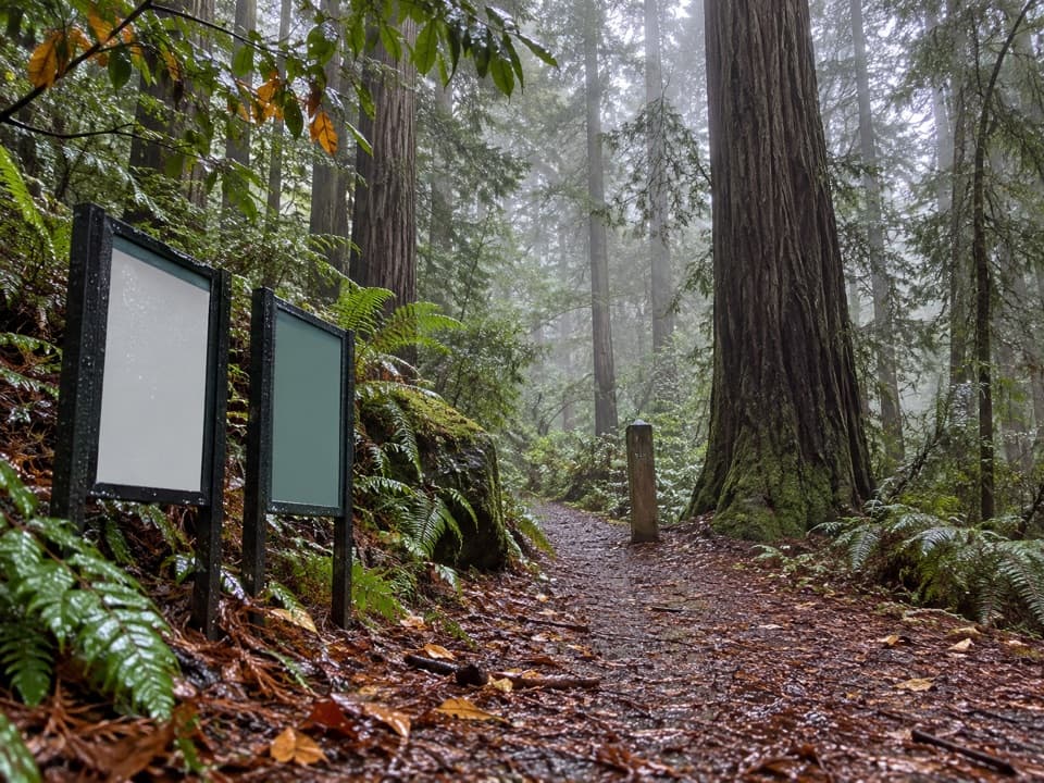
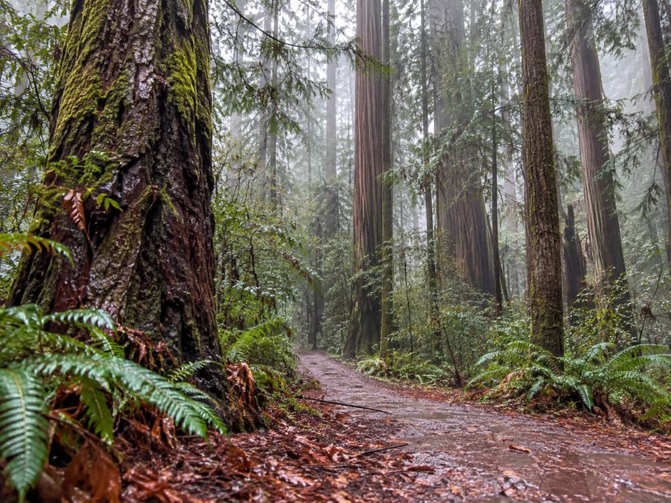
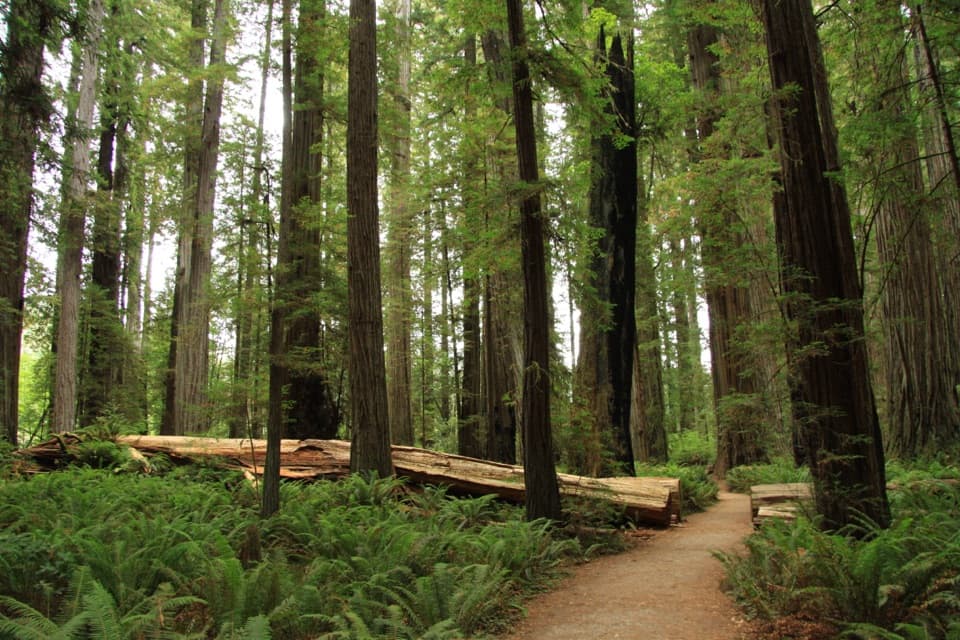
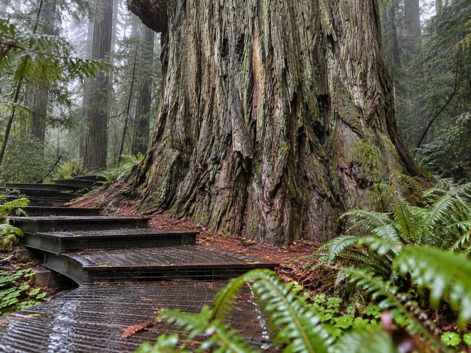
The start is fairly level through lush lowland redwoods and tall shrubs, then the trail climbs into upland forest with smaller redwoods and Douglas-firs. Around mile 3.3 it reaches Little Bald Hills Camp. Beyond camp, it passes logged ground and a gravel bypass around Port-Orford-cedar root rot before climbing into a broad, rolling pine savanna. The ridge tread is less maintained than the lower park trail.

The route continues beyond the park boundary on the Paradise connector toward South Fork Road. At the Paradise junction, turn left toward Sand Camp and the road. The straight-ahead Little Bald Hills branch is overgrown and leads toward a Rock Creek ford that can be too deep in rainy weather.

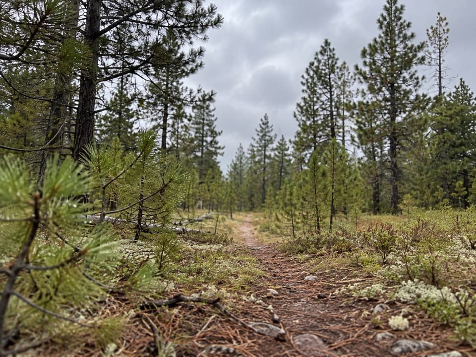
The ridge is open, but not a summit panoramaSmall pine groves, grass and summer wildflowers replace the redwood canopy.

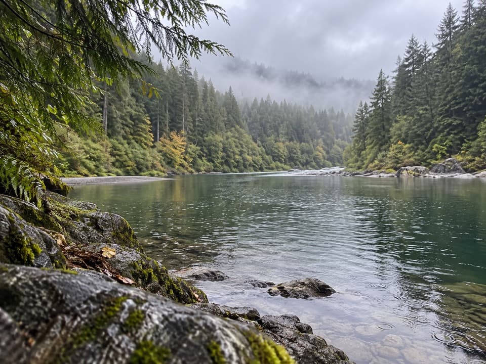
Small pine groves, grass and summer wildflowers replace the redwood canopy. The ridge has occasional openings toward Crescent City, the ocean and Castle Rock; later scrub openings look into the Smith River valley. Views are intermittent, so expect a quieter savanna crossing rather than an uninterrupted overlook. Near the route, cobra lilies grow beside a wet seepage face.

An older path through different soilsAbout three miles follow the Kelsey Trail pack route used from 1855 to 1909 to supply mining…

About three miles follow the Kelsey Trail pack route used from 1855 to 1909 to supply mining camps and settlements. Part of the route later became a fire road before being converted to trail in 1986 and 1987. The landscape changes with the ground: redwood forest sits on sedimentary soils, serpentine supports Port-Orford-cedar and coffeeberry, and the pale ridge soils support beargrass and hairy manzanita.

Plan the shuttle, water and overnight stopStart at the marked Little Bald Hills Trailhead at the east end of Howland Hill Road.

Start at the marked Little Bald Hills Trailhead at the east end of Howland Hill Road. Parking is limited, and RVs and trailers are not advised on that narrow road. The finish is on South Fork Road, so arrange a pickup or second vehicle before setting out. There is no food stop on the route, and Little Bald Hills Camp has no treated water; carry enough or bring a filter. Overnight stays at the backcountry camp require a free advance reservation permit. Pets are not allowed on the park trail sections.

Wildlife

Wildlife in Redwood

All Redwood wildlife maps

Sighting maps show where each species has been reported across Redwood. Wildlife moves, so no sighting is guaranteed.

Keep exploring

Near Bigfoot Trail: Little Bald Hills-Paradise Section

See it all on the map

Trails that start nearby

Places near the trailhead

Parkwolf’s Redwood ranking

Top-rated trails in Redwood

All 83 trails
  1. 1Fern Canyon Loop TrailModerate · 1 mi
  2. 2Miners Ridge and James Irvine LoopChallenging · 12 mi
  3. 3Boy Scout Tree TrailModerate · 5.6 mi
  4. 4Stout Memorial Grove TrailEasy · 0.6 mi
  5. 5Grove of Titans TrailEasy · 1.8 mi
  6. 6Tall Trees TrailChallenging · 3.7 mi

Take Parkwolf to Redwood.

The audio tour guide for the drive, plus offline maps, trails, and wildlife heatmaps for when the signal drops.

4.7 from 8,600+ ratings

Download Parkwolf on the App StoreGet Parkwolf on Google Play