Parking
Use the marked River Trail access on Howland Hill Road, across from the Little Bald Hills Trail access road. Parking is limited; RVs and trailers are not advised.

Redwood National Park, CA
A mile-long river walk beneath old-growth redwoods.
Overview
Map & elevation
Plan your hike

The highest, rockiest slopes around here are a summer buffet for grizzly bears.
Redwood Tour Guide
Parkwolf is a GPS audio tour guide for Redwood National Park. As you drive, it chimes in with what’s ahead: hidden gems, upcoming stops, history, geology, and wildlife, right through your car’s speakers.
See the Redwood audio tourRecorded for this trailhead
River Trail“Ahead on Howland Hill Road is the River Trail access, for a walk beside the Smith River under old-growth redwoods. Allow about an hour and a half for the roughly two-mile return, with moderate, uneven grades.”
Plays as you drive up to this trailhead in the Parkwolf Redwood Tour Guide.
More stories near here in the app
“Fantastic app with many points of information… It’s great to just turn on while you’re driving and it gives you an audio tour of the national Park. We love it!!!!”


Trail guide
River Trail is a one-mile, point-to-point walk from the marked Howland Hill Road access to Stout Grove, following the Smith River beneath old-growth redwoods. The mapped line is about 0.9 mile, close to the park's rounded one-mile figure. Allow about 45 minutes one way for the moderate grades and time at the river. Walking back to your car makes it roughly a two-mile outing.
The trail stays with the Smith River, California's last major undammed river system. Chinook salmon and steelhead use this stretch, though fish sightings are never guaranteed. The experience is mostly river, redwoods, and a little uneven climbing rather than a named overlook.
This route connects the Howland Hill Road trailhead with Stout Grove. Set up a pickup or plan to retrace the same path. The westward connection uses seasonal footbridges, so check current access before relying on a through-hike.
Use the marked River Trail access across from the Little Bald Hills Trail access road. Parking is limited, and RVs or trailers are not advised on Howland Hill Road. Dogs are not allowed on park trails except service animals. The park rates this walk moderate, with some non-level grades.
Wildlife
 256 sightingsBlack BearMost seen around 7 PMSighting map
 2,389 sightingsElkMost seen around 6 PMSighting map
 62 sightingsCalifornia CondorMost seen around 1 PMSighting map
 60 sightingsCalifornia Sea LionMost seen around 11 AMSighting map
 216 sightingsHarbor SealMost seen around 10 AMSighting map
 13 sightingsMountain LionMost seen around 7 PMSighting map
Sighting maps show where each species has been reported across Redwood. Wildlife moves, so no sighting is guaranteed.
Keep exploring
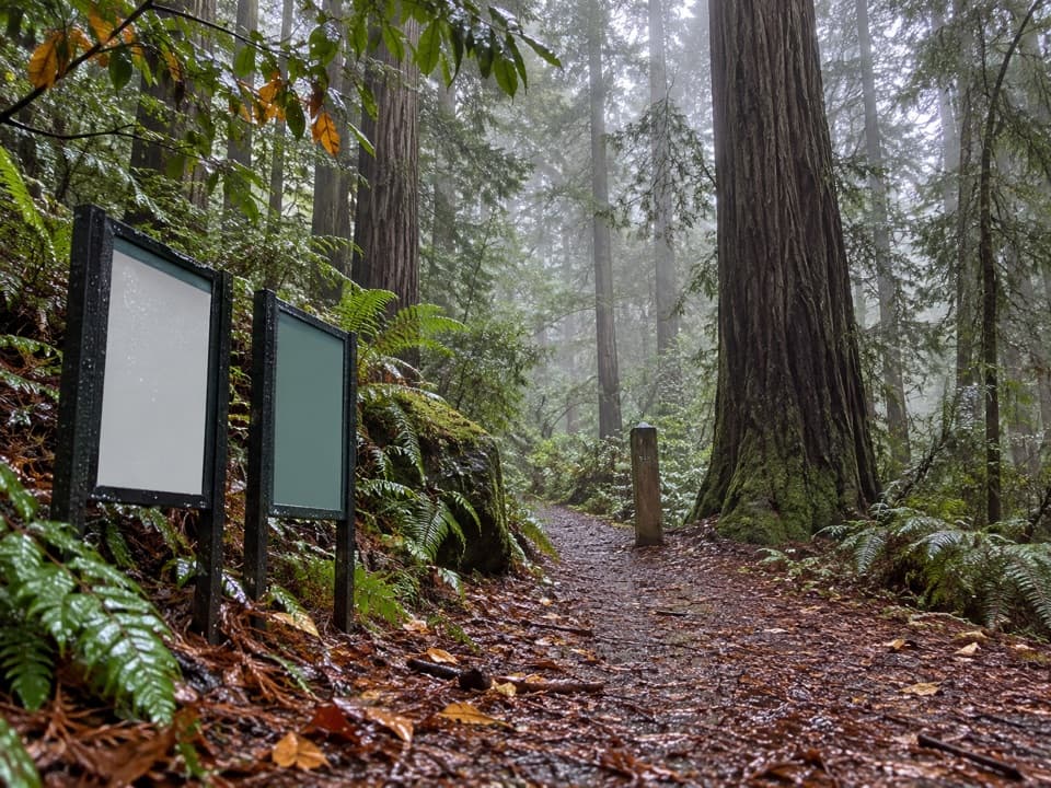 ChallengingLittle Bald Hills Trail9.6 mi · 5.5 hr · At the trailheadA long climb through redwoods to a quiet, open ridge.
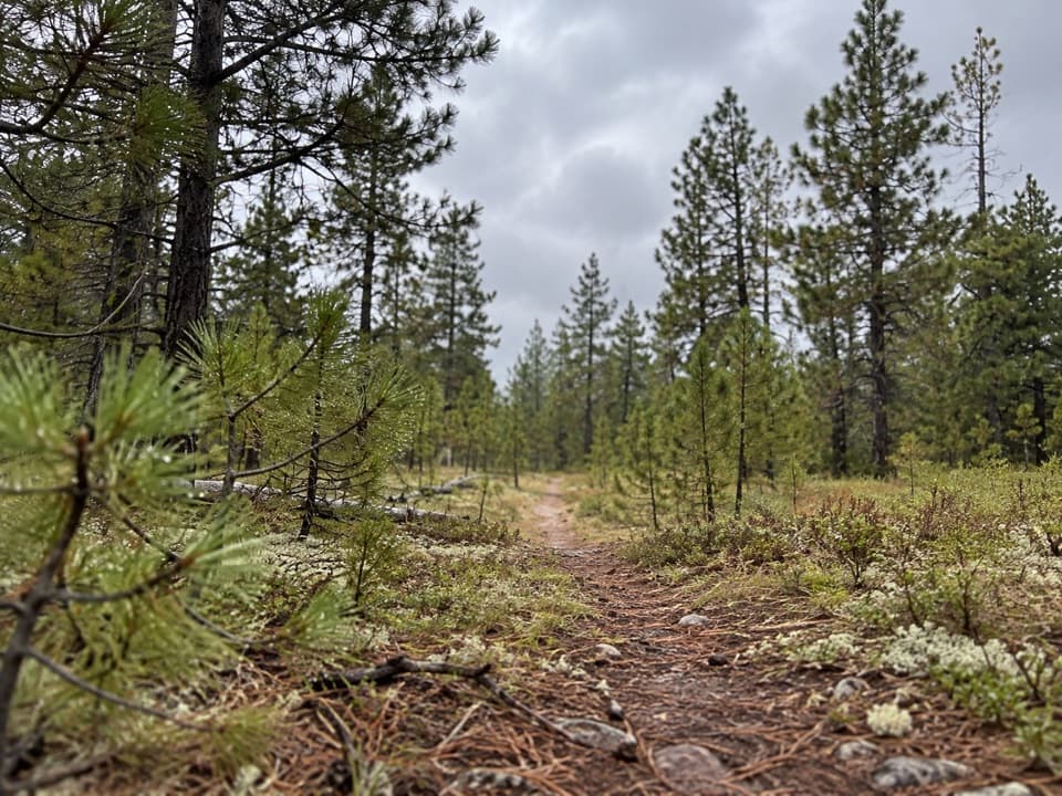 ChallengingBigfoot Trail: Little Bald Hills-Paradise Section9.8 mi · 6 hr · At the trailheadA redwood climb that trades shade for open ridge and river views.
 EasyStout Memorial Grove Trail0.6 mi · 45 min · 0.6 mi awayShort loop beneath old-growth giants, with an optional Smith River spur.
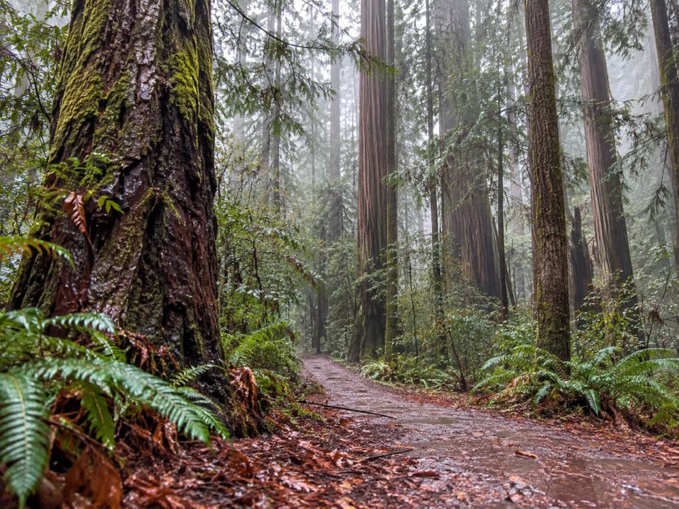 EasyJedediah Smith Nature Loop0.6 mi · 30 min · 1.1 mi awayA short woodland loop with one small redwood grove.
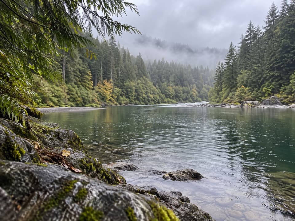 ModerateHiouchi Trail2 mi · 1.5 hr · 1.3 mi awayWalk the Smith River terrace through redwoods and two ravines.
 EasyGrove of Titans Trail1.8 mi · 1.5 hr · 1.8 mi awayA raised boardwalk brings you among giants without trampling their roots.
 ModerateMill Creek Trail2.6 mi · 2.5 hr · 1.8 mi awayCreekside redwoods lead to a raised Grove of Titans boardwalk.
 ModerateHatton-Hiouchi Trail1.2 mi · 45 min · 2 mi awayA redwood ridge climb linking Hatton access to the Hiouchi Trail.
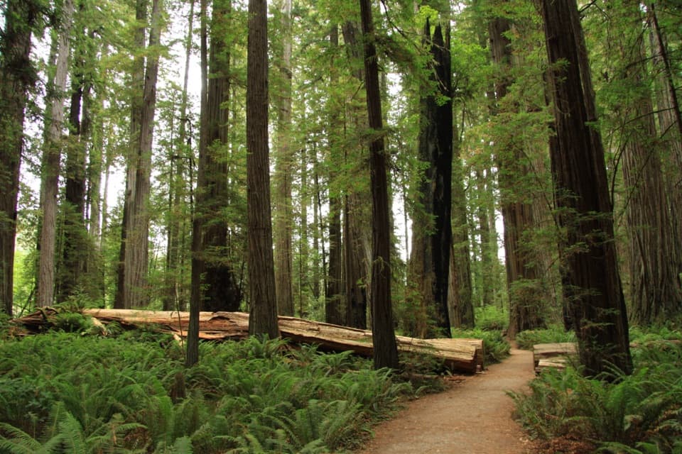 Sight · 0.5 mi awayStout Memorial GroveStand beneath redwoods that rise about 300 feet.
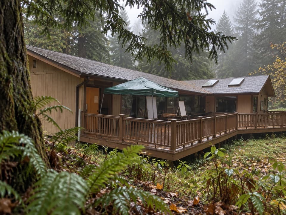 Visitor center · 0.7 mi awayHiouchi Visitor CenterPick up maps and ranger advice, then see Tolowa and redwood exhibits.
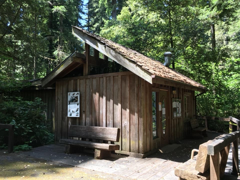 Visitor center · 0.9 mi awayJedediah Smith Visitor CenterFriendly staff help you pick a grove, trail, or quiet redwood road.
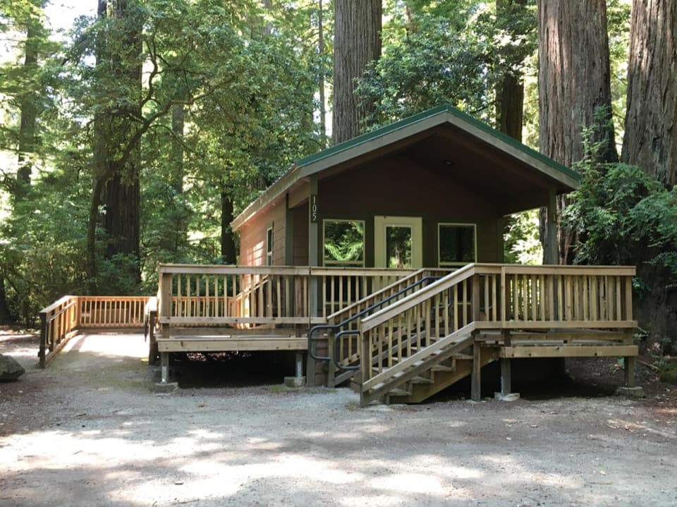 Campground · 0.9 mi awayJedediah Smith CampgroundStay among old-growth redwoods beside the Smith River.
 Picnic area · 0.9 mi awayJedediah Smith Redwoods Day Use AreaA cobbled Smith River shore with a summer footbridge to Stout Grove.
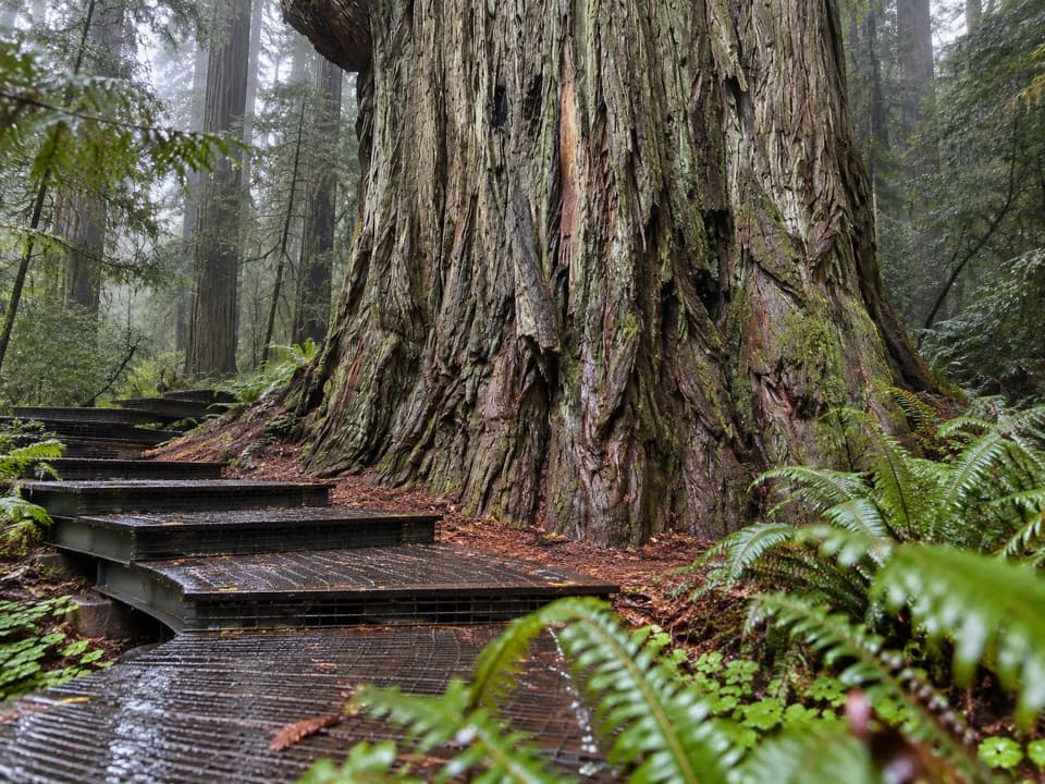 Sight · 1.6 mi awayGrove of TitansGet close to giants on a protected metal-mesh walkway.
 Campground · 1.9 mi awayLittle Bald Hills Backcountry CampA trail-access camp where grassy meadow meets fir forest.
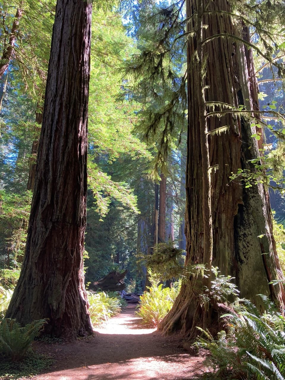 Sight · 2.4 mi awaySimpson-Reed GroveAn easy, flat walk through lush old-growth redwoods and ferns.
Parkwolf’s Redwood ranking

The audio tour guide for the drive, plus offline maps, trails, and wildlife heatmaps for when the signal drops.



