Parking
Big Tree Wayside parking area on Newton B. Drury Scenic Parkway at mile marker 127.96. Parking is limited; vault toilets are at the lot.

Redwood National Park, CA
A short, easy loop with a huge coast redwood at its heart.
Overview
Map & elevation
Plan your hike

The highest, rockiest slopes around here are a summer buffet for grizzly bears.
Redwood Tour Guide
Parkwolf is a GPS audio tour guide for Redwood National Park. As you drive, it chimes in with what’s ahead: hidden gems, upcoming stops, history, geology, and wildlife, right through your car’s speakers.
See the Redwood audio tourRecorded for this trailhead
Big Tree Wayside“Up ahead is Big Tree Wayside, an easy stop for a close look at a redwood estimated to be more than fifteen hundred years old.”
Plays as you drive up to this trailhead in the Parkwolf Redwood Tour Guide.
More stories near here in the app
“Fantastic app with many points of information… It’s great to just turn on while you’re driving and it gives you an audio tour of the national Park. We love it!!!!”


Trail guide
This very easy loop starts at Big Tree Wayside and circles through the redwoods before returning to the same parking area. The complete lot-to-lot walk is about 0.3 mile and usually takes 15–30 minutes with a stop at the tree. A 0.2-mile figure is also published for Circle Trail; the route mapped here includes the short access legs on Foothill Trail and Cathedral Trees Trail.
The short approach to Big Tree is paved and level. The mapped Circle section follows forest path and crosses a short wooden bridge, so the whole circuit is not just pavement. Big Tree is a large old-growth coast redwood, reached at a viewing platform with interpretive signs. Trailhead audio boxes share reflections from Yurok elders about redwoods. The platform is a popular stop for visitors and tour groups; for a sense of scale, include a stretch of its viewing fence in a photo.
Use the marked Big Tree Wayside lot on Newton B. Drury Scenic Parkway at mile marker 127.96. Parking is limited, and vault toilets are at the lot. Day use runs from sunrise to sunset. Pets are not allowed on park trails except service animals. Foothill and Cathedral Trees continue beyond this short circuit if you want a longer walk; those extensions add substantial distance.
Wildlife
 256 sightingsBlack BearMost seen around 7 PMSighting map
 2,389 sightingsElkMost seen around 6 PMSighting map
 62 sightingsCalifornia CondorMost seen around 1 PMSighting map
 60 sightingsCalifornia Sea LionMost seen around 11 AMSighting map
 216 sightingsHarbor SealMost seen around 10 AMSighting map
 13 sightingsMountain LionMost seen around 7 PMSighting map
Sighting maps show where each species has been reported across Redwood. Wildlife moves, so no sighting is guaranteed.
Keep exploring
 ModerateCathedral Trees Trail1.4 mi · 1 hr · At the trailheadA short one-way walk among family groups of towering redwoods.
 ModerateFoothill Trail2.2 mi · 1.8 hr · 0.4 mi awayOld growth, Big Tree, and a long bridge over Corkscrew Creek.
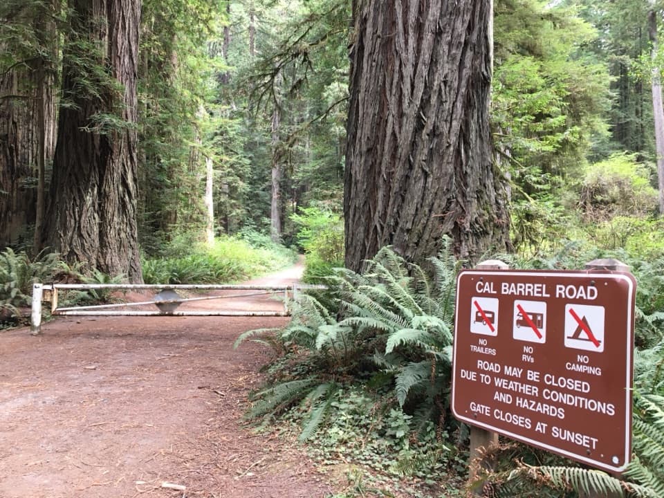 ModerateCal Barrel Road Hike3.9 mi · 2.3 hr · 0.4 mi awayLeashed dogs can join the climb beneath the redwoods.
 EasyCorkscrew Tree Trail0.2 mi · 10 min · 0.5 mi awayA short detour to a single redwood with many trunks.
 ModerateJames Irvine Trail9.8 mi · 6 hr · 0.8 mi awayOld-growth redwoods lead to fern cliffs and a shallow creek crossing.
 ModerateWest Ridge and Karl Knapp Loop5.7 mi · 3 hr · 0.8 mi awayRidge climbs give way to Prairie Creek’s lush redwood groves.
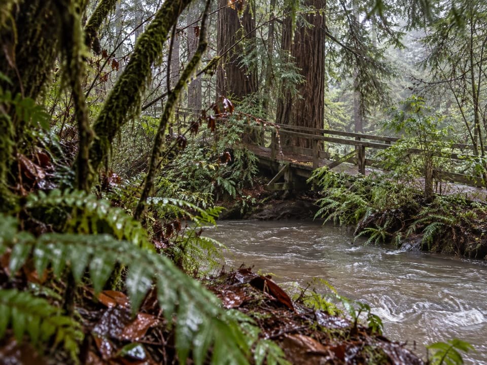 EasyElk Prairie Trail Loop2.8 mi · 2 hr · 0.8 mi awayA prairie-and-creek loop through redwoods with Roosevelt elk.ChallengingMiners Ridge and James Irvine Loop12 mi · 6 hr · 0.8 mi awayA long loop joining old-growth redwoods, Fern Canyon, and the coast.Sight · At the trailheadBig Tree WaysideA 1,500-year-old redwood with a platform and short grove walksSight · 0.6 mi awayCorkscrew TreeOne redwood, several trunks, and a remarkably twisted form.
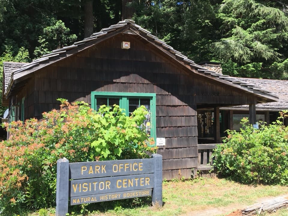 Visitor center · 0.8 mi awayPrairie Creek Visitor CenterA CCC cabin with redwood exhibits and trail advice.
 Picnic area · 1.2 mi awayElk Prairie Day Use AreaA picnic under old-growth redwoods at the prairie edge.
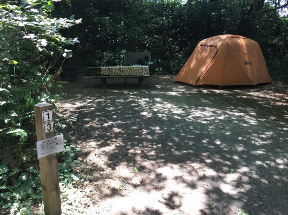 Campground · 1.2 mi awayElk Prairie CampgroundA leafy base near elk meadow and old-growth trails
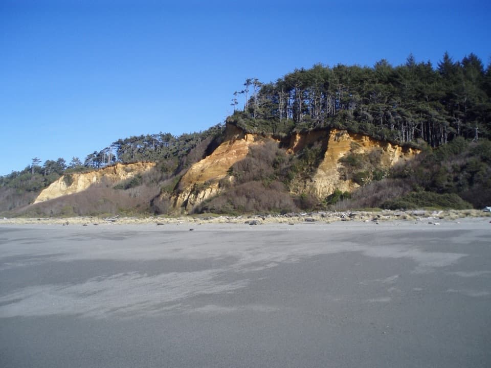 Beach · 3 mi awayGold Bluffs Beach Day Use AreaA long gray-sand beach below orange bluffs and coastal forest.
 Campground · 3 mi awayGold Bluffs Beach CampgroundSleep beside the Pacific, with Fern Canyon up the road.
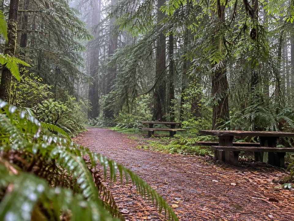 Picnic area · 3.2 mi awayLost Man Creek Picnic AreaA simple picnic stop with an easy first mile by the creek.
Parkwolf’s Redwood ranking

The audio tour guide for the drive, plus offline maps, trails, and wildlife heatmaps for when the signal drops.




