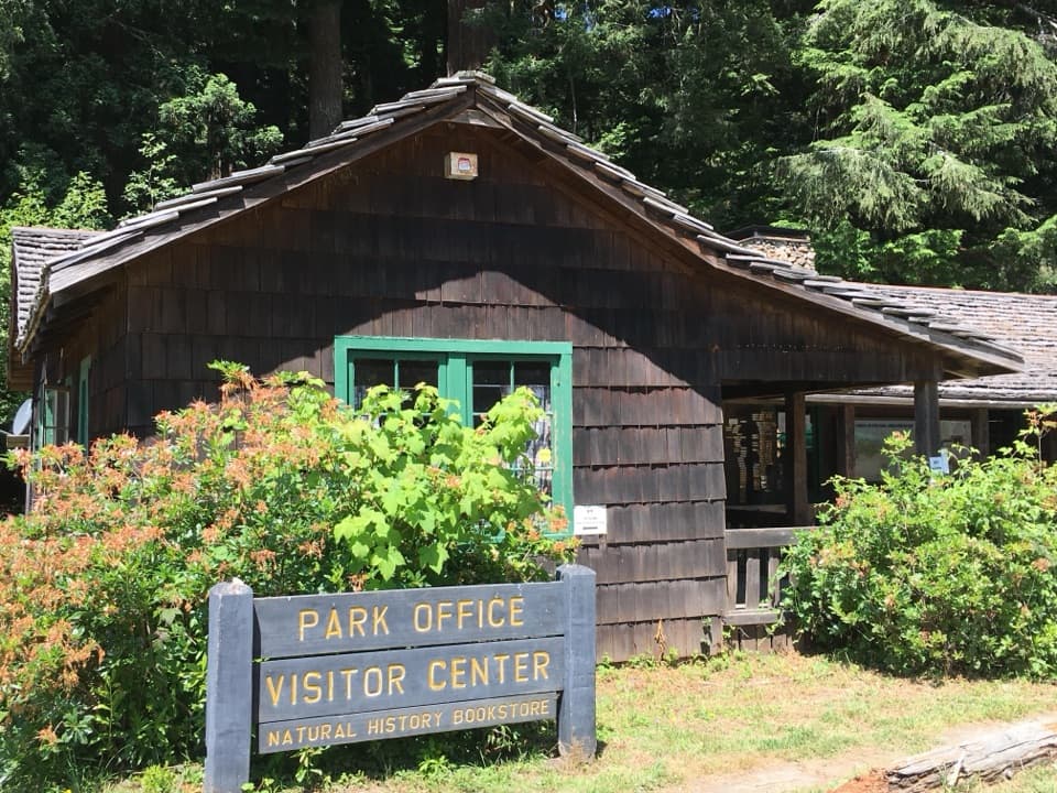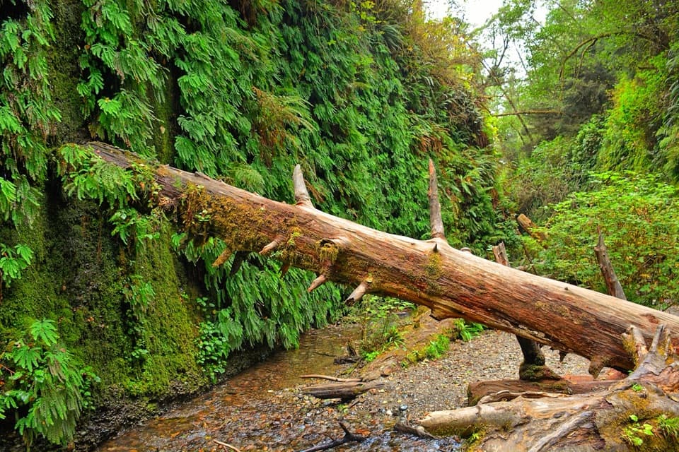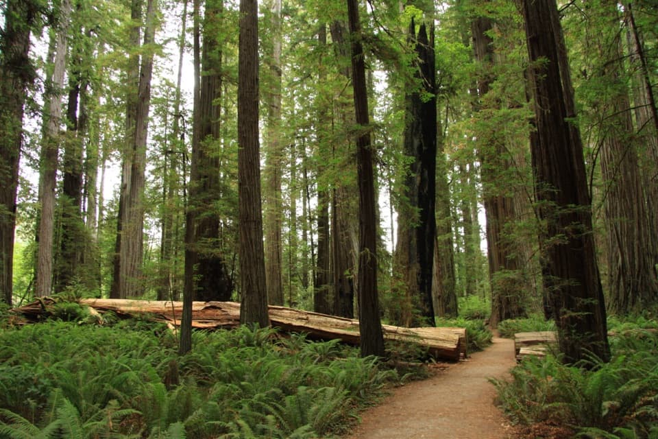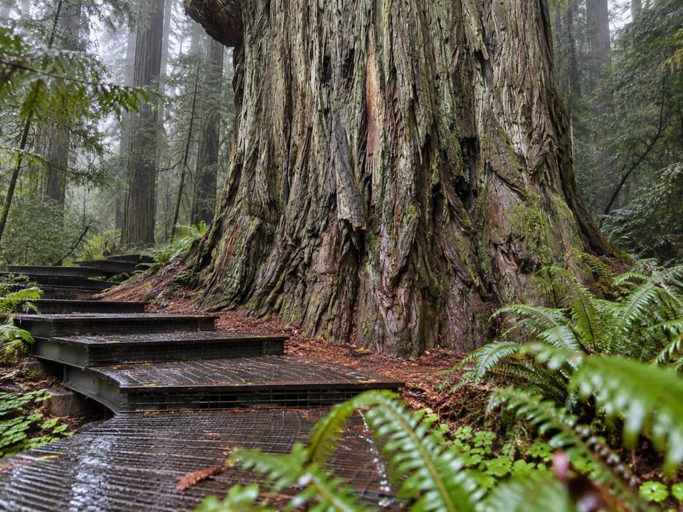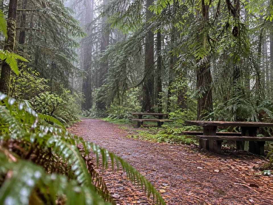
Lost Man Creek Picnic Area in Redwood National Park

Picnic area · Redwood National Park

Lost Man Creek Picnic Area

A simple picnic stop with an easy first mile by the creek.

Type
Picnic area
Nearest trail
Right here
Audio stories
5 nearby
  • Parking
  • Picnic tables
  • Restrooms
  • Trailhead

Hear the audio tour

Lost Man Creek Picnic Area

Overview

About Lost Man Creek Picnic Area

Why stop

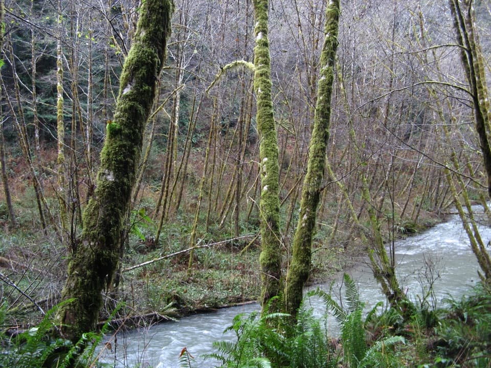
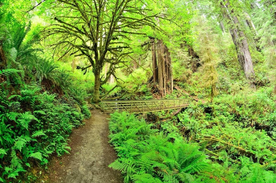
  • Several salmon-friendly bridges make the first creekside mile interesting.

Map

Where it is

Loading the Redwood map
Full map
Picnic areaLost Man Creek Picnic Area41.32714, -124.01539
Keep this map with you offline in the Parkwolf app

Plan your stop

Before you go

6 active Redwood alerts

  • ClosureBald Hills Road, Mill Creek and 44 Creek restrictionsMentions Bald Hills Road, referenced in this guideUse caution on damaged Bald Hills Road and plan around Mill Creek and 44 Creek access restrictions.Official details
  • CautionU.S. 101 construction traffic controlsExpect construction-related traffic stops and one-way controlled traffic on U.S. 101; allow extra time and drive cautiously. - NPS reports multiple stops between Orick and Crescent City; delays vary.Official details

See all 6 alerts
A park ranger sits on a dash-mounted phone, talking, as Parkwolf’s Tour Guide plays “Army Cutworm Moths: A Grizzly Bear Buffet” on Grand Loop Road below Dunraven Pass in Yellowstone
Parkwolf Tour GuideThe highest, rockiest slopes around here are a summer buffet for grizzly bears.

Redwood Tour Guide

Your drive to Lost Man Creek Picnic Area, narrated.

Parkwolf is a GPS audio tour guide for Redwood National Park. As you drive, it chimes in with what’s ahead: hidden gems, upcoming stops, history, geology, and wildlife, right through your car’s speakers.

See the Redwood audio tour

Recorded for this place

Lost Man Creek Picnic Area
0:00 / 0:26
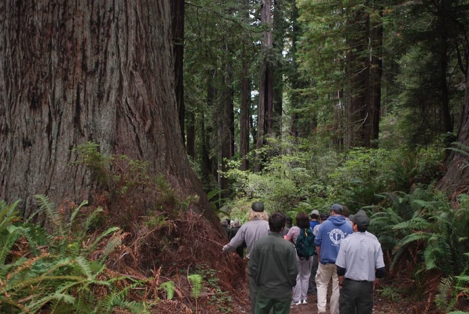
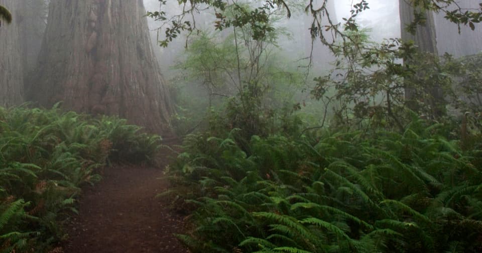
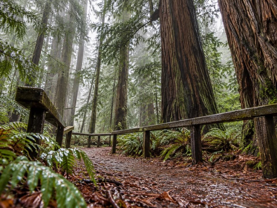
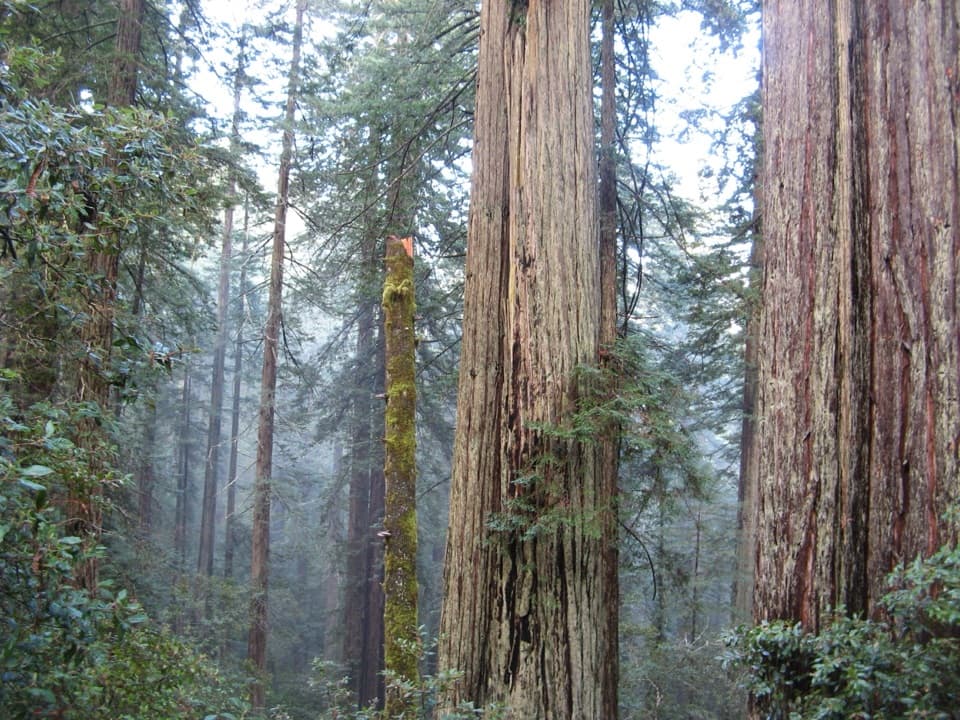
“Up ahead is Lost Man Creek Picnic Area, a lunch stop beside a redwood-lined creek. Bring your own picnic, and consider the gentle first mile of the hike-and-bike road, crossing bridges above pools and ferny banks.”

Plays as you drive up to Lost Man Creek Picnic Area in the Parkwolf Redwood Tour Guide.

More stories near here in the app

  • The Ants That Move Trilliums
  • Elk Meadow and Trillium Falls
  • Lady Bird Johnson Grove
  • The Plant That Folds in Sunlight
  • 85 audio storiesacross Redwood’s roads, triggered by GPS as you drive
  • Wildlife heatmapsfor Black Bear, Elk, California Condor, and 13 more
  • Works offlinemaps, 83 trails, 48 places, and audio download before you lose signal
  • CarPlay readysimple controls built for the drive
★★★★★
“Fantastic app with many points of information… It’s great to just turn on while you’re driving and it gives you an audio tour of the national Park. We love it!!!!”
JMJamesApp Store review
Download Parkwolf on the App StoreGet Parkwolf on Google Play

4.7 from 8,600+ ratings

Guide

More about Lost Man Creek Picnic Area

Stop for a picnic or a short walkLost Man Creek Picnic Area is a day-use picnic site just off Highway 101 north of Orick, at the…

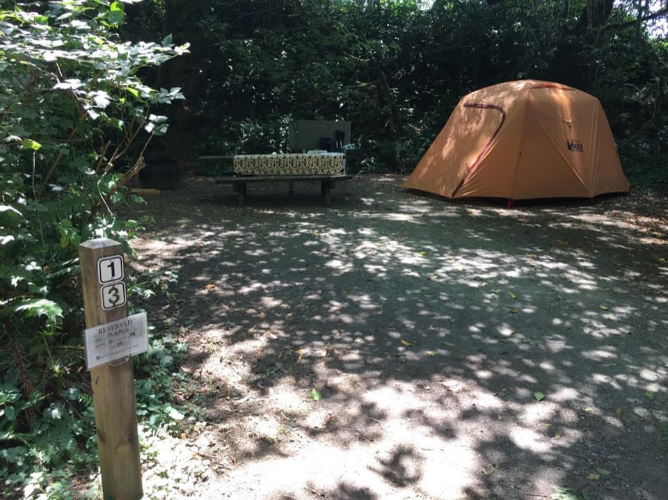
Lost Man Creek Picnic Area is a day-use picnic site just off Highway 101 north of Orick, at the trailhead for the creek’s hike-and-bike route. It’s a useful stop for lunch and an easy first look at the redwoods; the site has picnic tables, auto parking and a vault/composting toilet. No food or drinking-water service is listed, so bring what you need.

The easy startThe first mile follows a fork of Lost Man Creek at a gentle grade and crosses several…

The first mile follows a fork of Lost Man Creek at a gentle grade and crosses several salmon-friendly bridges. You can keep the walk short or continue into the longer route; it eventually climbs through second-growth forest toward Holter Ridge. Cell coverage is very limited, so bring a paper map instead of relying on online directions. Pets aren’t allowed on park trails.

A landscape in recoveryMuch of this area was clearcut in the 1960s, and the trail follows an old logging road.

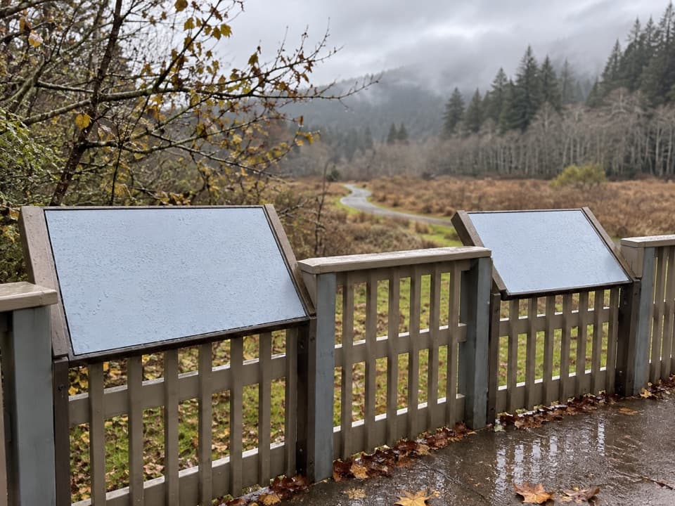
Much of this area was clearcut in the 1960s, and the trail follows an old logging road. Several salmon-friendly bridges installed in the 1990s help streams recover from decades of logging debris. An interpretive sign east of the trailhead marks the spot tied to Redwood National Park’s 1980 World Heritage designation. Cyclists can make a 22-mile loop back here; turning around at Bald Hills Road avoids the Highway 101 portion.

Wildlife

Wildlife in Redwood

All Redwood wildlife maps

Sighting maps show where each species has been reported across Redwood. Wildlife moves, so no sighting is guaranteed.

Keep exploring

Near Lost Man Creek Picnic Area

See it all on the map

Trails nearby

More stops nearby

Parkwolf’s Redwood ranking

Top sights in Redwood

All 48 places
  1. 1Fern CanyonSight
  2. 2Stout Memorial GroveSight
  3. 3Big Tree WaysideSight
  4. 4Lady Bird Johnson GroveSight
  5. 5Grove of TitansSight
  6. 6Tall Trees GroveSight

Take Parkwolf to Redwood.

The audio tour guide for the drive, plus offline maps, trails, and wildlife heatmaps for when the signal drops.

4.7 from 8,600+ ratings

Download Parkwolf on the App StoreGet Parkwolf on Google Play