McArthur Creek Loop in Redwood National Park

Redwood National Park, CA

McArthur Creek Loop

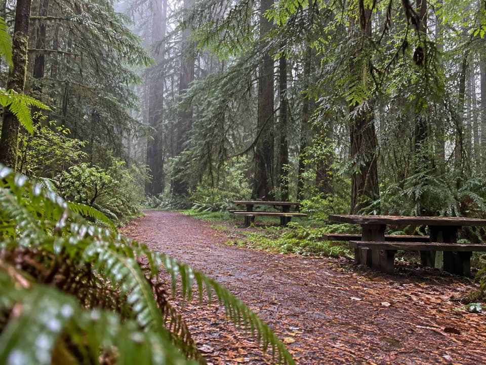
Creek crossings and ferny redwoods make this a full-day loop.

Length
14mi
Time
8hr
Elev. change
1,322ft
Difficulty
Challenging
  • Loop
  • No dogs
  • High point 1,339 ft

Hear the audio tour

When Redwood Creek Opens to the Sea

Overview

About McArthur Creek Loop

McArthur Creek Loop is a 14-mile circuit from the Orick Rodeo Grounds access, beginning beside Redwood Creek before climbing through redwoods and mixed woodland. The route swings across a logged plateau and McArthur Creek, then returns along an old roadbed and the Ridge Loop junction. Plan on about eight hours; a brisk outing can take around seven. It is a full-day walk with several memorable redwood groves, but old growth comes in pockets rather than continuing for the whole loop. This is also a horse trail, and one important turn is easy to miss.

Why go

  • Ferny redwood groves, creekside alder and rhododendron, and an open ridgetop grove
  • A varied full-day circuit through redwood and mixed woodland

Heads up

  • Fourteen miles for scattered rather than continuous old growth
  • The important right-hand fork is unsigned

Map & elevation

The route

Loading the Redwood map
Full map
Elevation16–1,339 ft
TrailheadOrick Horse Trailhead (Drydens Road)41.28750, -124.05655
Keep this map with you offline in the Parkwolf app

Plan your hike

Before you go

Parking

Use the dirt lot near Drydens Road behind Orick School. Follow the short path to the Redwood Creek levee and continue toward the Orick Rodeo Grounds access. A day-use self-pay fee is required at the Orick Horse Trails trailhead; the current amount was not verified.

Safety

The less-used right branch at the split about 1.7 miles in is unsigned. The long route can be muddy in winter and spring, and pets are prohibited on park trails.

6 active Redwood alerts

  • CautionU.S. 101 construction traffic controlsExpect construction-related traffic stops and one-way controlled traffic on U.S. 101; allow extra time and drive cautiously. - NPS reports multiple stops between Orick and Crescent City; delays vary.Official details
  • CautionU.S. 199 construction traffic controlsExpect 24/7 one-way controlled traffic on three U.S. 199 segments because of construction. - 6–6.2 miles north of Gasquet: through 6:00 p.m. December 15, 2026; delays up to 10 minutes. - 9.6–9.Official details
See all 6 alerts
A park ranger sits on a dash-mounted phone, talking, as Parkwolf’s Tour Guide plays “Army Cutworm Moths: A Grizzly Bear Buffet” on Grand Loop Road below Dunraven Pass in Yellowstone
Parkwolf Tour GuideThe highest, rockiest slopes around here are a summer buffet for grizzly bears.

Redwood Tour Guide

Your drive to McArthur Creek Loop, narrated.

Parkwolf is a GPS audio tour guide for Redwood National Park. As you drive, it chimes in with what’s ahead: hidden gems, upcoming stops, history, geology, and wildlife, right through your car’s speakers.

See the Redwood audio tour

Recorded for this area

When Redwood Creek Opens to the Sea
0:00 / 0:27
“Redwood Creek's mouth can close without the creek running dry. In summer, when its flow is low, a sandbar can build across the outlet to the Pacific. Water collects behind that barrier.”

Plays on the road 0.2 mi from the trailhead in the Parkwolf Redwood Tour Guide.

More stories near here in the app

  • Skunk Cabbage Trail
  • Redwood Creek Trailhead
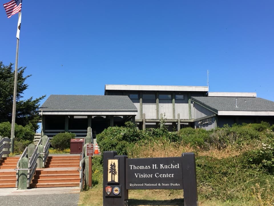
  • Kuchel Visitor Center and Freshwater Beach
  • A Sand Dollar in Life
  • 85 audio storiesacross Redwood’s roads, triggered by GPS as you drive
  • Wildlife heatmapsfor Black Bear, Elk, California Condor, and 13 more
  • Works offlinemaps, 83 trails, 48 places, and audio download before you lose signal
  • CarPlay readysimple controls built for the drive
★★★★★
“Fantastic app with many points of information… It’s great to just turn on while you’re driving and it gives you an audio tour of the national Park. We love it!!!!”
JMJamesApp Store review
Download Parkwolf on the App StoreGet Parkwolf on Google Play

4.7 from 8,600+ ratings

Trail guide

Hiking McArthur Creek Loop

Start and the first forkFrom the dirt lot near Drydens Road, a short path reaches the Redwood Creek levee.

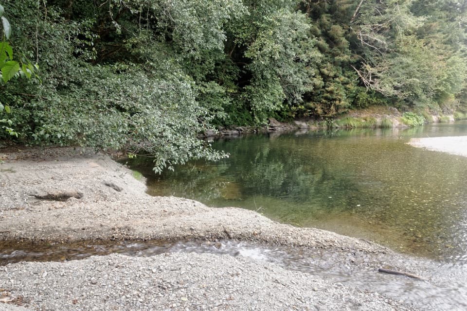
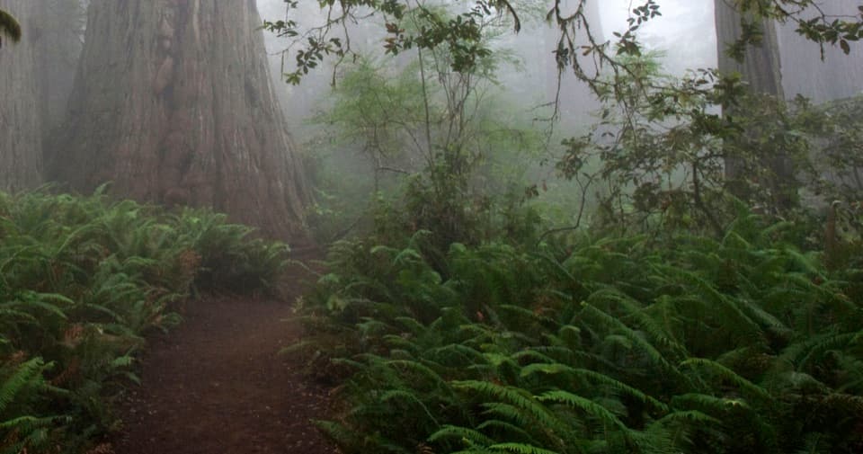
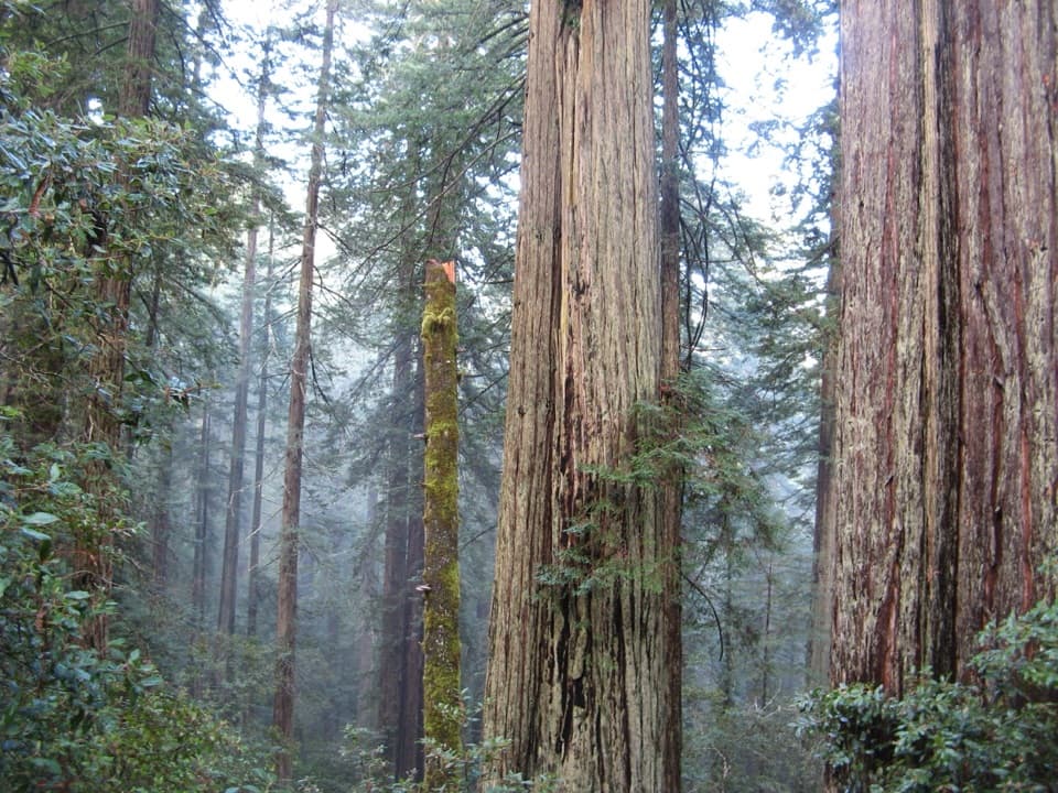
From the dirt lot near Drydens Road, a short path reaches the Redwood Creek levee. Follow the levee toward the Rodeo Grounds, with pasture and wooded hills on one side and the creek on the other. Beyond the woods, a broad, horse-used trail climbs through mossy alders into redwoods, then opens into fern-covered groves with tall, straight trunks.

About 1.7 miles in, take the right-hand branch at the unsigned split. This less-used section leaves the redwood stand for mixed woodland, with much of the neighboring old growth screened by brush. Older markers may call this the Six Hour Loop. Later the route descends to a dirt-road junction, crosses a small channel of McArthur Creek by culvert, and climbs again; stay with the McArthur circuit rather than following the separate Ridge or Elam Creek loops.

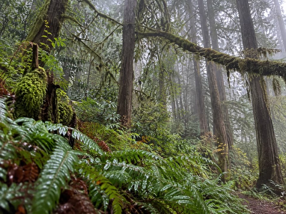
Plateau and creekThe plateau is a change from the redwood groves: dense young spruce and large stumps show the…

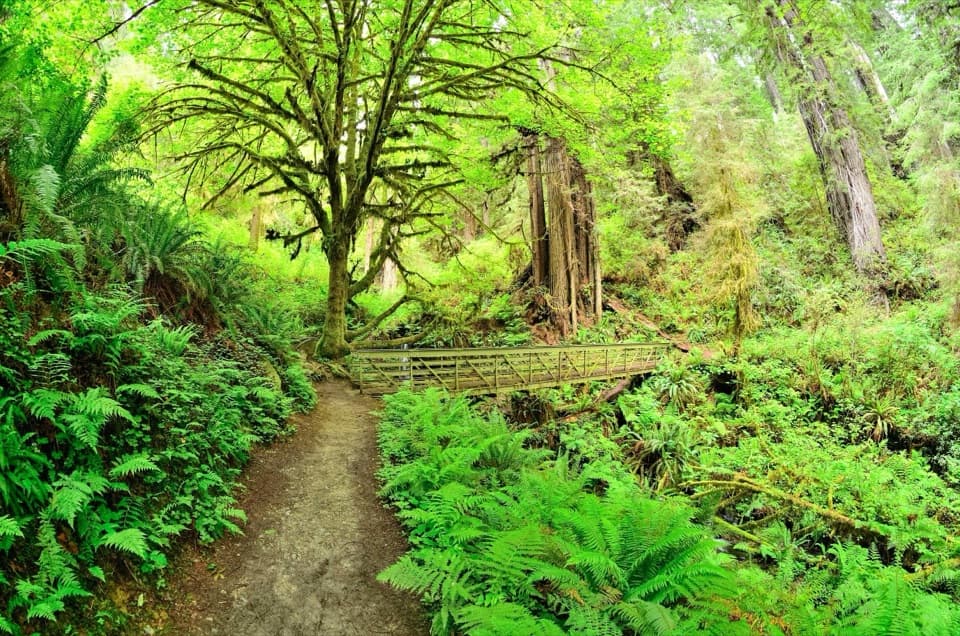
The plateau is a change from the redwood groves: dense young spruce and large stumps show the effects of past logging. Near the Elam Camp spur, a stand of old-growth trees sits back from the trail rather than forming a close tunnel. The route then descends to a footbridge over McArthur Creek. Mossy maple and alder line the creekside slope, with rhododendron and spring flowers often showing around mid-May.

Return over the ridgeAfter the creek, the climb follows an old logging roadbed through a series of short zigzags.

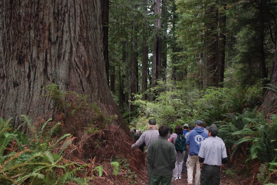
After the creek, the climb follows an old logging roadbed through a series of short zigzags. At the Ridge Loop junction, take time for the brief open grove of old-growth trees and its dense salal understory; the canopy is a distinct payoff after the logged plateau. Continue on the McArthur return and turn right where the Ridge Trail junction leads downhill toward the starting access. The nearby Ridge Loop is a separate, shorter seven-mile option and passes through more of this area's old growth.

Access and rulesAllow a full day and expect a long route with mixed forest, roadbed and trail surfaces.

Allow a full day and expect a long route with mixed forest, roadbed and trail surfaces. Wet winter and spring stretches can be muddy. Day-use self-pay parking is required at the Orick Horse Trails trailhead; horses are allowed with a free horse-trail permit available from park visitor centers. Pets are prohibited on park trails.

Wildlife

Wildlife in Redwood

All Redwood wildlife maps

Sighting maps show where each species has been reported across Redwood. Wildlife moves, so no sighting is guaranteed.

Keep exploring

Near McArthur Creek Loop

See it all on the map

Trails that start nearby

Places near the trailhead

Parkwolf’s Redwood ranking

Top-rated trails in Redwood

All 83 trails
  1. 1Fern Canyon Loop TrailModerate · 1 mi
  2. 2Miners Ridge and James Irvine LoopChallenging · 12 mi
  3. 3Boy Scout Tree TrailModerate · 5.6 mi
  4. 4Stout Memorial Grove TrailEasy · 0.6 mi
  5. 5Grove of Titans TrailEasy · 1.8 mi
  6. 6Tall Trees TrailChallenging · 3.7 mi

Take Parkwolf to Redwood.

The audio tour guide for the drive, plus offline maps, trails, and wildlife heatmaps for when the signal drops.

4.7 from 8,600+ ratings

Download Parkwolf on the App StoreGet Parkwolf on Google Play