Parking
Park at Elk Meadow Day Use Area, a few hundred feet south of Davison Trail South Access. Restrooms, drinking water and picnic tables are available at Elk Meadow.

Redwood National Park, CA
A gentle gravel road puts the logging history in plain view.
Overview
Map & elevation
Plan your hike

The highest, rockiest slopes around here are a summer buffet for grizzly bears.
Redwood Tour Guide
Parkwolf is a GPS audio tour guide for Redwood National Park. As you drive, it chimes in with what’s ahead: hidden gems, upcoming stops, history, geology, and wildlife, right through your car’s speakers.
See the Redwood audio tourRecorded for this trailhead
Elk Meadow and Trillium Falls“Elk Meadow Day Use Area is coming up, a picnic stop with a chance to see Roosevelt elk at the forest edge. They sometimes graze within sight of the parking area, so a hike isn't necessary to look for them.”
Plays as you drive up to this trailhead in the Parkwolf Redwood Tour Guide.
More stories near here in the app
“Fantastic app with many points of information… It’s great to just turn on while you’re driving and it gives you an audio tour of the national Park. We love it!!!!”


Trail guide
Davison Trail is a 3-mile one-way hike and bike route on an old logging road, from the South Access just north of Elk Meadow to Elk Prairie Campground. It’s mostly level gravel, with only small changes in elevation. Come for a forest walk and a close look at how logged redwood country grows back; the famous old-growth trees are mostly at the north end. Allow about 1.5 to 2 hours one way. Walk back the same way if you want a roughly 6-mile outing, or plan your own return from Elk Prairie.
From Elk Meadow, follow signs toward Elk Prairie Campground. The route runs through dense, young Douglas-fir forest on the broad former road. After about two miles, it turns briefly onto a dirt road, passes a gate, then returns to forest. The end is at Elk Prairie Campground, where the final few hundred feet reach old-growth redwoods.
This road once served a logging mill and log deck. Along it, old mill buildings and enormous redwood stumps sit among crowded second-growth trees. Much of this forest was logged in the 1960s; the Douglas-firs you walk through are part of its recovery. It’s a useful trail if you want to see the working history of the redwoods as well as the trees.
The park points to elk and other wildlife along this corridor, and to salmon, herons and migrating songbirds in its recovering wetlands and forest. Treat those as possibilities, not a promise. Near the end, the short old-growth section feels noticeably different from the young forest that makes up most of the walk.
Park at Elk Meadow Day Use Area, a few hundred feet south of the signed South Access. Elk Meadow has restrooms, drinking water and picnic tables. This is a point-to-point route, so decide how you’ll get back before setting out. Pets aren’t allowed on park trails.
Wildlife
 256 sightingsBlack BearMost seen around 7 PMSighting map
 2,389 sightingsElkMost seen around 6 PMSighting map
 62 sightingsCalifornia CondorMost seen around 1 PMSighting map
 60 sightingsCalifornia Sea LionMost seen around 11 AMSighting map
 216 sightingsHarbor SealMost seen around 10 AMSighting map
 13 sightingsMountain LionMost seen around 7 PMSighting map
Sighting maps show where each species has been reported across Redwood. Wildlife moves, so no sighting is guaranteed.
Keep exploring
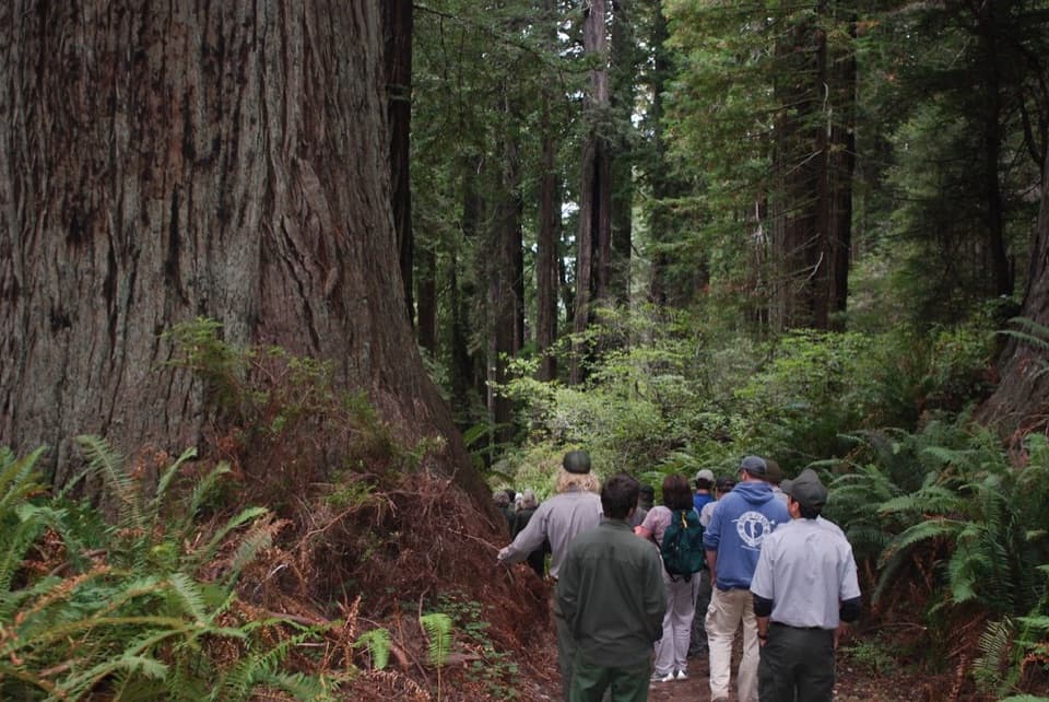 ChallengingBerry Glen Trail7 mi · 4.5 hr · 0.2 mi awayA steep redwood climb to Lady Bird Johnson Grove.
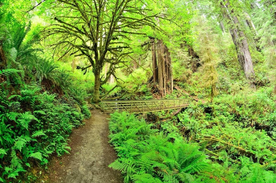 EasyTrillium Falls Trail2.7 mi · 1.8 hr · 0.2 mi awayThe redwoods make this loop; the waterfall is a bonus.
 ModerateCoastal Trail: Skunk Cabbage Section5.3 mi · 3.5 hr · 1.4 mi awayA creekside redwood climb opens onto grassy coastal bluffs.
 ModerateStreelow Creek Trail3.6 mi · 1.8 hr · 1.4 mi awayCreekside redwoods and alder link Davison Road with Davison Trail.
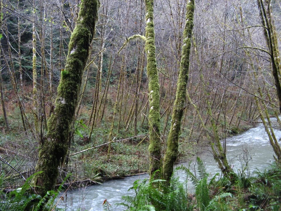 ChallengingLost Man Creek Trail10.6 mi · 8 hr · 1.4 mi awayA creekside redwood mile before a steep climb through logged forest.
 ChallengingRedwood Creek Trail16 mi · 7.5 hr · 1.8 mi awayA long creek valley hike to Tall Trees Grove’s towering redwoods.
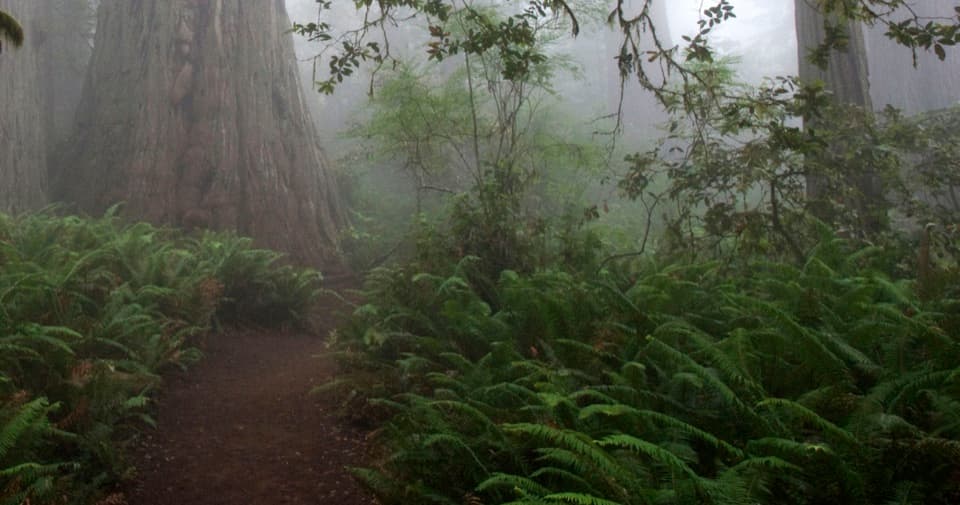 EasyLady Bird Johnson Grove Trail1.5 mi · 1 hr · 2 mi awaySee redwoods and a historic clearing on an easy 1.5 mile loop.
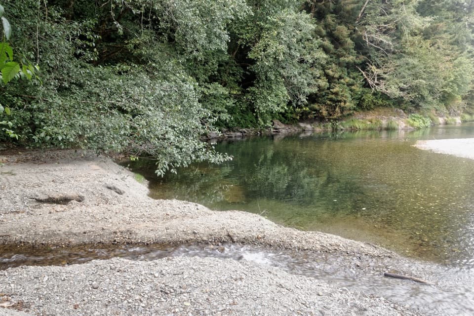 ChallengingElam Creek Loop20 mi · 10.5 hr · 2 mi awayA long ridge walk to Elam Camp and its streamside forest.
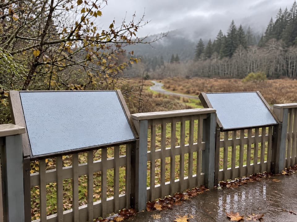 Picnic area · 0.2 mi awayElk Meadow Day Use AreaA picnic meadow where elk sometimes graze beside the trails.
 Sight · 0.5 mi awayTrillium FallsA ferny redwood walk ends at a close-up view of the falls.
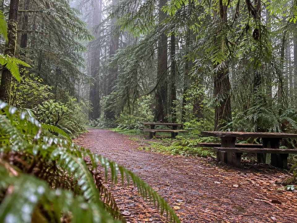 Picnic area · 1.4 mi awayLost Man Creek Picnic AreaA simple picnic stop with an easy first mile by the creek.
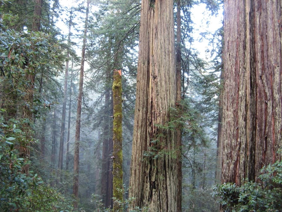 Sight · 1.9 mi awayLady Bird Johnson GroveAn easy loop through old-growth redwoods with a conservation story.
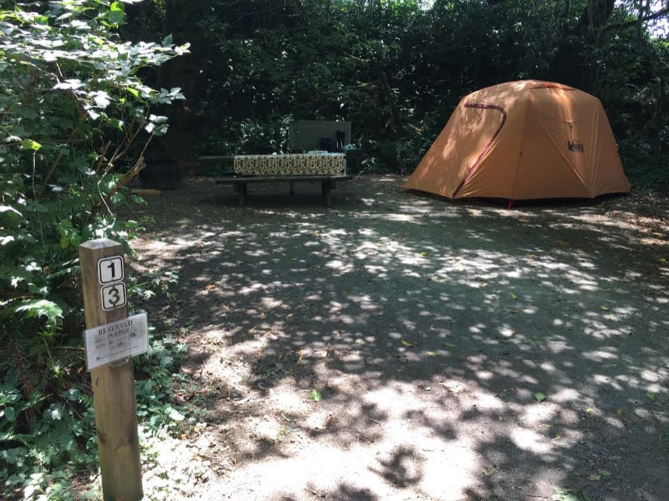 Campground · 2.5 mi awayElk Prairie CampgroundA leafy base near elk meadow and old-growth trails
 Picnic area · 2.6 mi awayElk Prairie Day Use AreaA picnic under old-growth redwoods at the prairie edge.
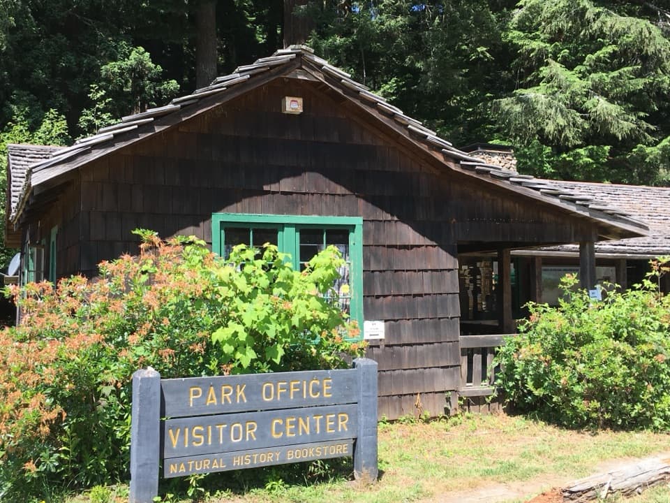 Visitor center · 2.9 mi awayPrairie Creek Visitor CenterA CCC cabin with redwood exhibits and trail advice.
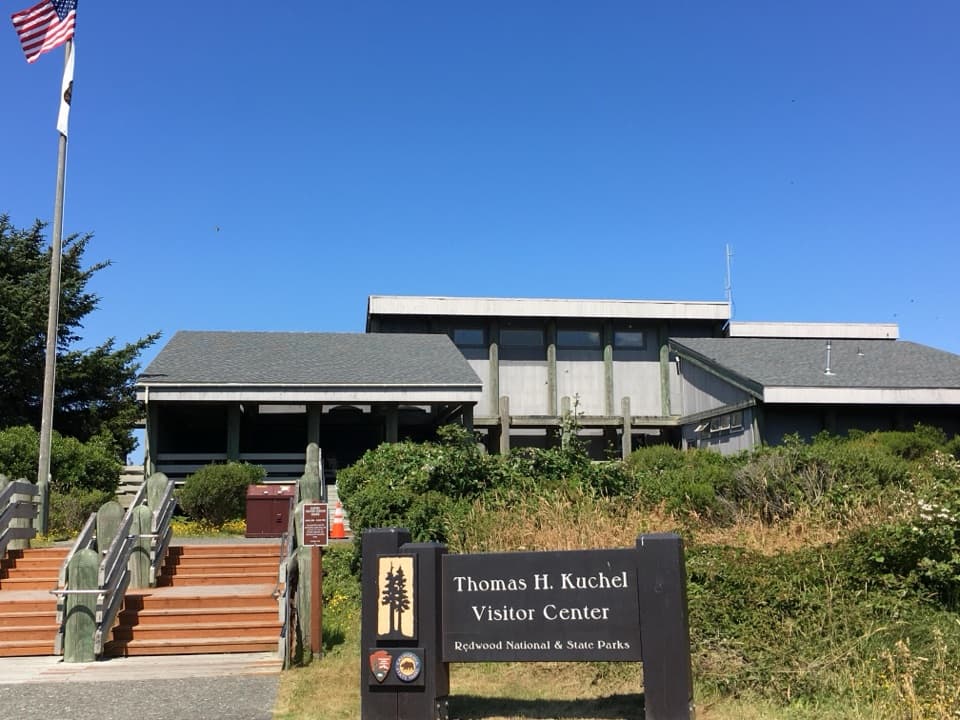 Visitor center · 3.6 mi awayThomas H. Kuchel Visitor CenterGet your bearings, then step straight onto Freshwater Beach.
Parkwolf’s Redwood ranking

The audio tour guide for the drive, plus offline maps, trails, and wildlife heatmaps for when the signal drops.





