Parking
Start at Elk Meadow Day Use Area off Davison Road, about three miles north of Orick. The large lot has space for cars, buses, RVs and trailers, with drinking water, flush toilets and picnic tables at the trailhead.
#10 of 83 trails in Redwood
Redwood National Park, CA
The redwoods make this loop; the waterfall is a bonus.
Overview
Trillium Falls Trail is a 2.7-mile loop from Elk Meadow Day Use Area through old-growth redwoods to a small creek waterfall, then back along the edge of Prairie Creek. Allow about 1½ to 2 hours and expect roughly 400 feet of climbing. There are switchbacks and another climb after the falls, so it is more than a flat stroll. The falls are modest; the big redwoods are the stronger reason to finish the loop.
 Parkwolf’s verdictIs the full loop worth it?
Map & elevation
Plan your hike

The highest, rockiest slopes around here are a summer buffet for grizzly bears.
Redwood Tour Guide
Parkwolf is a GPS audio tour guide for Redwood National Park. As you drive, it chimes in with what’s ahead: hidden gems, upcoming stops, history, geology, and wildlife, right through your car’s speakers.
See the Redwood audio tourRecorded for this trailhead
Elk Meadow and Trillium Falls“Elk Meadow Day Use Area is coming up, a picnic stop with a chance to see Roosevelt elk at the forest edge. They sometimes graze within sight of the parking area, so a hike isn't necessary to look for them.”
Plays as you drive up to this trailhead in the Parkwolf Redwood Tour Guide.
More stories near here in the app
“Fantastic app with many points of information… It’s great to just turn on while you’re driving and it gives you an audio tour of the national Park. We love it!!!!”


Trail guide
Begin at Elk Meadow Day Use Area, just off Davison Road about three miles north of Orick. Follow the paved path downhill to Davison Trail, turn right, then take the Trillium Falls branch to the right. It slips through blackberry brambles and quickly enters a remarkably open stand of old-growth redwoods. The path climbs on switchbacks here, with about 200 feet of gain before the waterfall. It is a good start if you want a short forest walk, but the longer loop gives the better sense of how the grove changes.
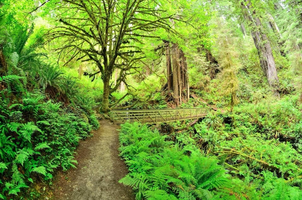
The trail dips to a long metal bridge at the head of an open ravine. From the bridge, a small creek drops over boulders among maples and ferns. It is more of a cascade than a dramatic plunge, and its flow varies with conditions, so come for the whole forest walk rather than a guaranteed big waterfall. This is the clearest place to see and photograph the falls. Stay on the bridge to protect the vegetation around the creek.
If you turn back here, the out-and-back is about 1 mile total. That is a useful shorter option, but the main loop keeps going uphill from the falls and has its best stretch of big redwoods farther on.
The full route climbs again beyond the bridge. For a while, young spruce and huckleberry thickets crowd the tread, and the larger redwoods are less visible. After crossing the overgrown logging road, the forest opens up again; the southern end of the loop has the hike’s most impressive redwoods. At the road, a grassy track downhill cuts about half a mile off the loop and returns to the parking area. Stay on Trillium Falls Trail if you want the full circuit.
After the southern end, the trail turns north, descends, and follows the edge of Prairie Creek back toward Elk Meadow. The grove thins near its edge, with smaller trees and dense understory, before the redwoods stop. The last third of a mile is a dirt road lined with alders leaning over it. Cars on Highway 101 can be heard through much of the walk, a reminder that this pocket of forest sits close to the main road.
Elk Meadow was part of Arcata Redwood Company’s B-Mill complex from 1948 to 1970. The park acquired the area in 1996. The trail passes through a surviving strip of old growth beside that former mill site, then through younger forest at the edges. The changes are easy to notice on the loop: open, large redwoods near the beginning; denser young growth after the falls; and another strong stand around the southern bend.
Elk Meadow has a large lot with space for cars, buses, RVs and trailers, plus drinking water, flush toilets, information kiosks and picnic tables. Roosevelt elk sometimes browse in the meadow, but sightings are never certain. Pets are not allowed on park trails.
The bridge is only about half a mile from the lot, so you can make this a roughly 1-mile out-and-back if that is enough. To do the full circuit, continue past the falls and stay on the trail at the old logging road. Bring a proper trail map: the park warns that cell coverage is very limited, and the turnaround and shortcut are easy points to confuse.
Wildlife
 256 sightingsBlack BearMost seen around 7 PMSighting map
 2,389 sightingsElkMost seen around 6 PMSighting map
 62 sightingsCalifornia CondorMost seen around 1 PMSighting map
 60 sightingsCalifornia Sea LionMost seen around 11 AMSighting map
 216 sightingsHarbor SealMost seen around 10 AMSighting map
 13 sightingsMountain LionMost seen around 7 PMSighting map
Sighting maps show where each species has been reported across Redwood. Wildlife moves, so no sighting is guaranteed.
Keep exploring
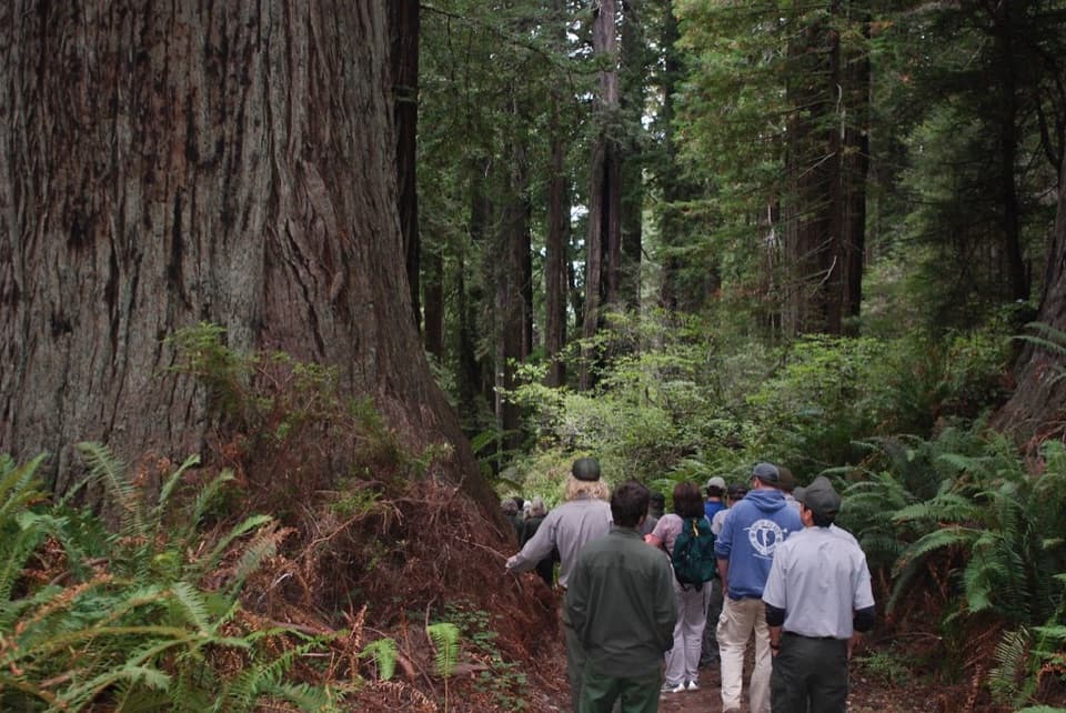 ChallengingBerry Glen Trail7 mi · 4.5 hr · At the trailheadA steep redwood climb to Lady Bird Johnson Grove.
 EasyDavison Trail3 mi · 1.8 hr · 0.2 mi awayA gentle gravel road puts the logging history in plain view.
 ModerateCoastal Trail: Skunk Cabbage Section5.3 mi · 3.5 hr · 1.2 mi awayA creekside redwood climb opens onto grassy coastal bluffs.
 ModerateStreelow Creek Trail3.6 mi · 1.8 hr · 1.5 mi awayCreekside redwoods and alder link Davison Road with Davison Trail.
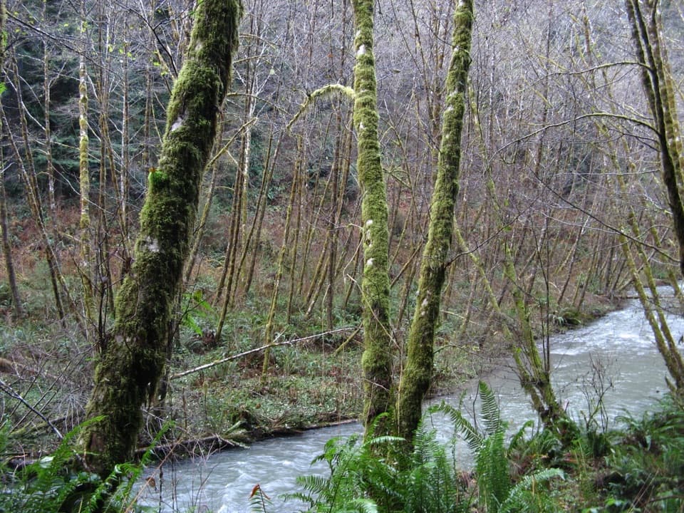 ChallengingLost Man Creek Trail10.6 mi · 8 hr · 1.6 mi awayA creekside redwood mile before a steep climb through logged forest.
 ChallengingRedwood Creek Trail16 mi · 7.5 hr · 1.8 mi awayA long creek valley hike to Tall Trees Grove’s towering redwoods.
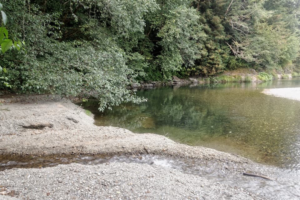 ChallengingElam Creek Loop20 mi · 10.5 hr · 1.9 mi awayA long ridge walk to Elam Camp and its streamside forest.
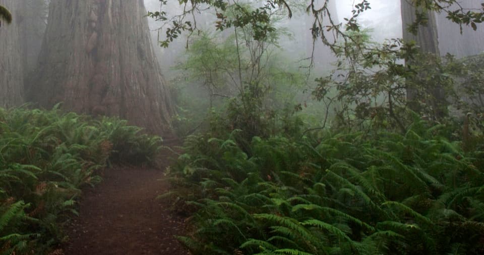 EasyLady Bird Johnson Grove Trail1.5 mi · 1 hr · 1.9 mi awaySee redwoods and a historic clearing on an easy 1.5 mile loop.
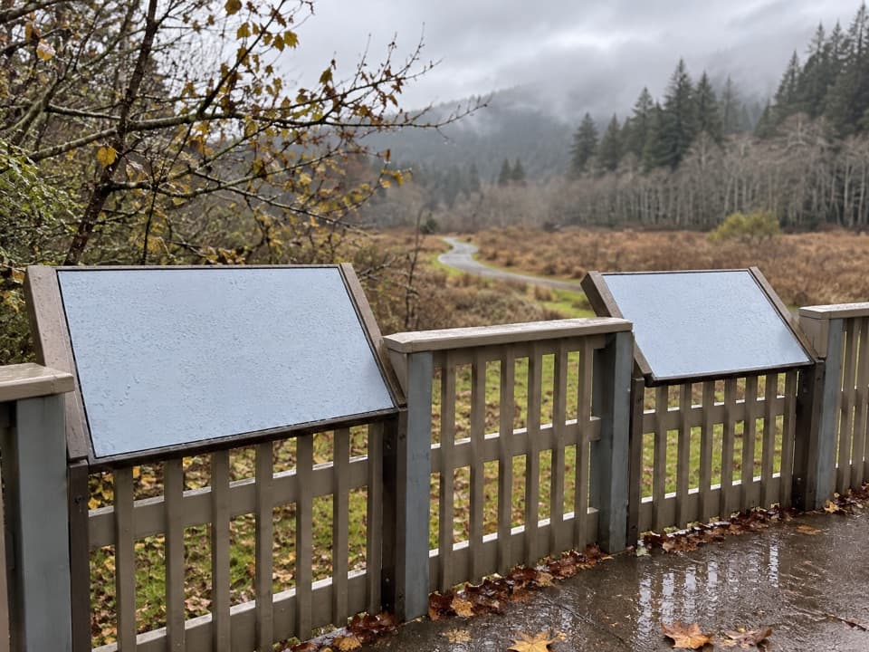 Picnic area · At the trailheadElk Meadow Day Use AreaA picnic meadow where elk sometimes graze beside the trails.
 Sight · 0.3 mi awayTrillium FallsA ferny redwood walk ends at a close-up view of the falls.
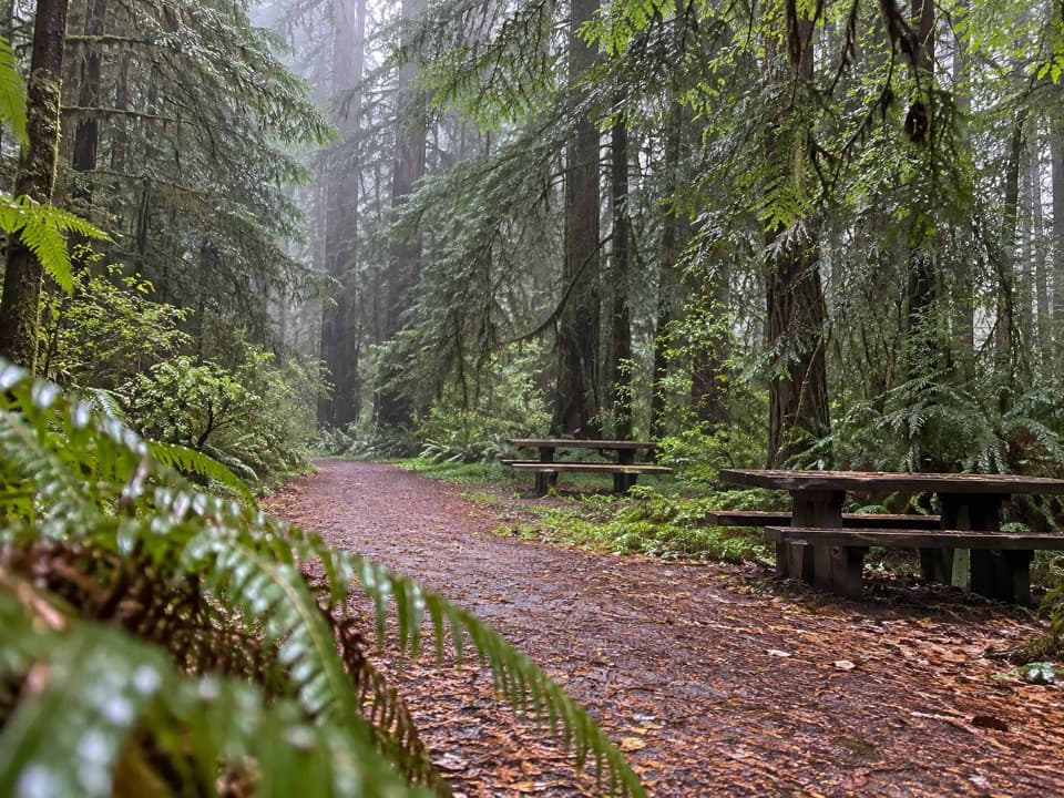 Picnic area · 1.6 mi awayLost Man Creek Picnic AreaA simple picnic stop with an easy first mile by the creek.
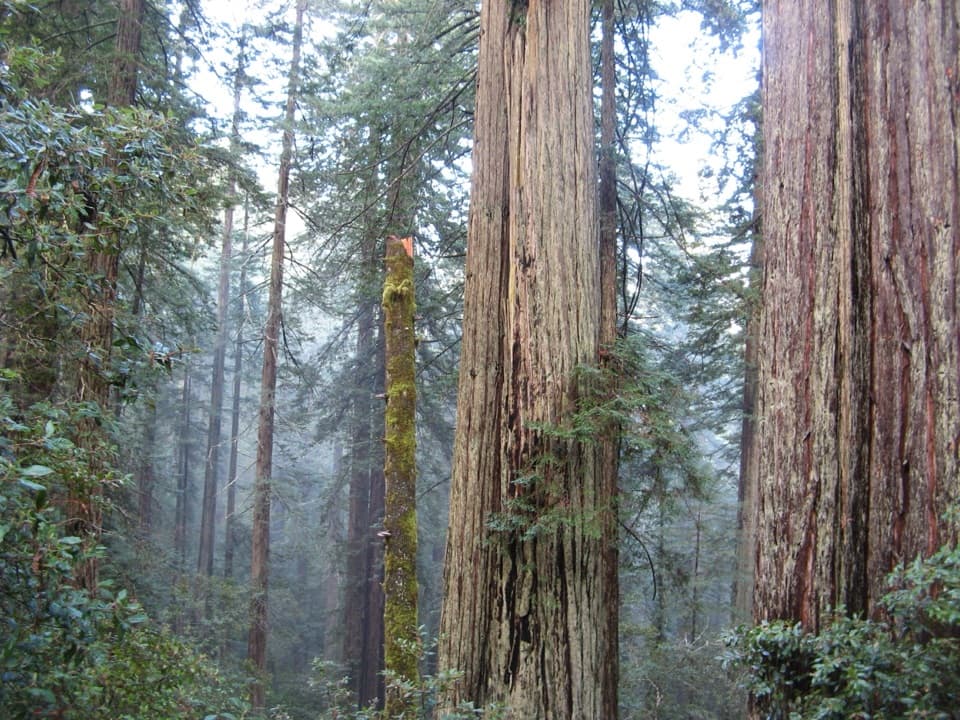 Sight · 1.9 mi awayLady Bird Johnson GroveAn easy loop through old-growth redwoods with a conservation story.
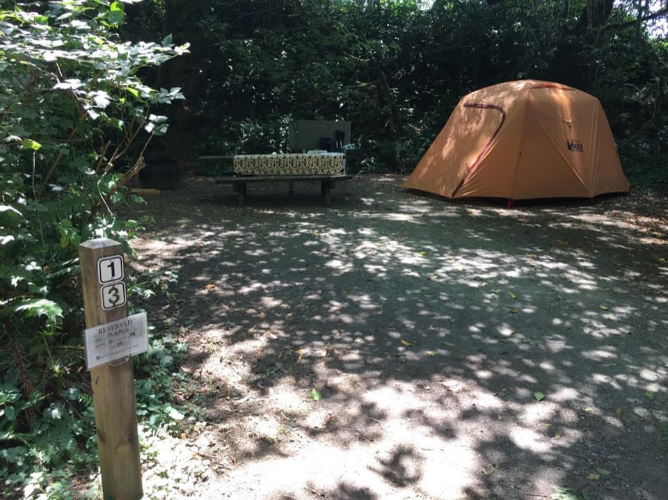 Campground · 2.7 mi awayElk Prairie CampgroundA leafy base near elk meadow and old-growth trails
 Picnic area · 2.7 mi awayElk Prairie Day Use AreaA picnic under old-growth redwoods at the prairie edge.
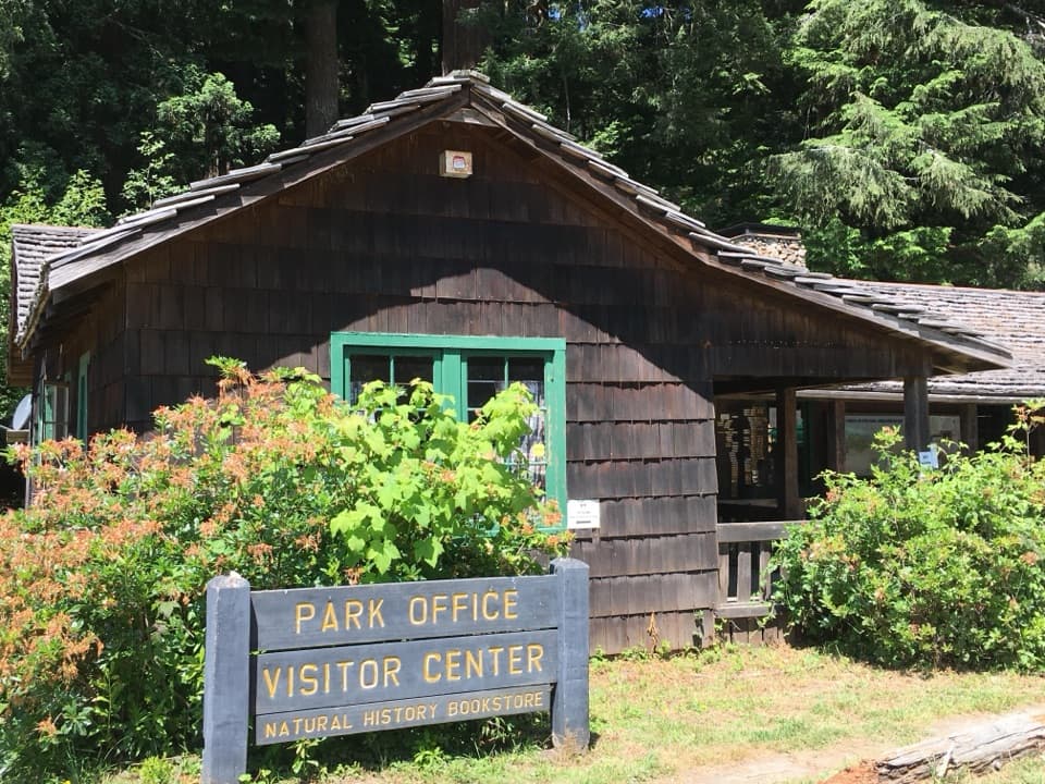 Visitor center · 3 mi awayPrairie Creek Visitor CenterA CCC cabin with redwood exhibits and trail advice.
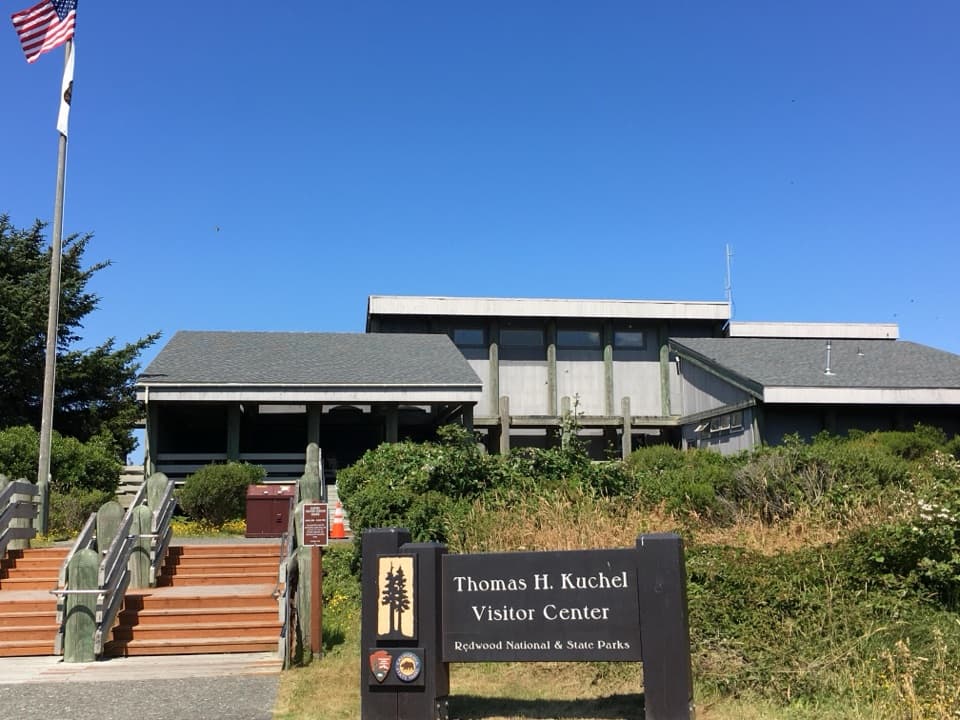 Visitor center · 3.5 mi awayThomas H. Kuchel Visitor CenterGet your bearings, then step straight onto Freshwater Beach.
Parkwolf’s Redwood ranking
The audio tour guide for the drive, plus offline maps, trails, and wildlife heatmaps for when the signal drops.





