Pros & cons
PROS
- Highest summit in the park with sweeping alpine views
- Classic Keyhole Route for experienced scramblers
CONS
- Serious exposure and rockfall risk above the Keyhole
- Summer storms and lightning are frequent, forcing very early starts
Overview
At 14,259 feet, Longs Peak dominates the park’s skyline and draws ambitious hikers and climbers from all over. It’s the northernmost fourteener on Colorado’s Front Range and the park’s high point—spectacular, demanding, and absolutely unforgiving if you underestimate it.
The Keyhole Route (what you’re really signing up for)
This is a climb, not a casual hike. The Keyhole Route runs about 13.3 miles round-trip with roughly 4,900–5,000 feet of gain. You’ll hike through forest, pass above treeline, then enter the Boulder Field where the maintained trail ends. From the Keyhole, everything feels bigger and steeper: the Ledges traverse exposed shelves, the Trough is a long, loose gully where rockfall is common, the Narrows are airy and slick when damp or iced, and the Homestretch is a slabby finish that becomes treacherous with any ice. Expect Class 3 scrambling and long stretches where a fall could be fatal. Painted bullseye markers help past the Boulder Field, but you still need to pay attention—especially in the dark.
Conditions and seasonality
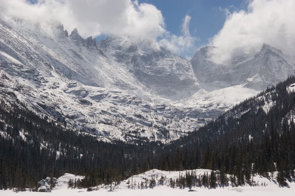
June–September is typically the least snowy period, but even in high summer you can get hail, sleet, and sudden lightning. An alpine start is non‑negotiable: plan to leave around 2–3 a.m., aim to be off the summit by noon, and back below treeline by mid‑afternoon. In shoulder seasons and winter, expect ice on ledges, hidden water ice in the Trough, and wind that swings from calm to brutal within minutes. Winter ascents are a full-on mountaineering objective that can take 12–18 hours and demand crampons, ice axe, and expert judgment. Always check the latest NPS Longs Peak conditions report before committing.
What to bring (and why)
- Helmet for rockfall above the Keyhole.
- Plenty of water and calories; there’s no reliable water above roughly 10,500 feet.
- Layers for rapid weather shifts: waterproof shell, warm midlayer, hat, and gloves.
- Headlamp (you’ll be hiking in the dark), navigation with the route downloaded, and a portable waste bag.
- In shoulder/winter conditions: traction (microspikes and/or crampons) and an ice axe, plus goggles and insulated gloves.
Logistics and on‑route notes
The Longs Peak trailhead has restrooms (flush in summer, vault in winter) and seasonal potable water; parking fills painfully early on peak weekends—reports of full lots before 3 a.m. are common. There’s a small, seasonal campground adjacent to the trailhead, and a backcountry privy near the Boulderfield that can be closed at times. The access road is plowed in winter but is a lower plow priority.
Geology snapshot
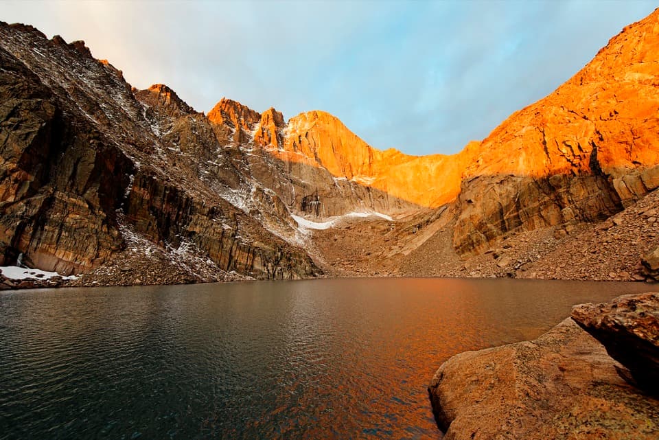
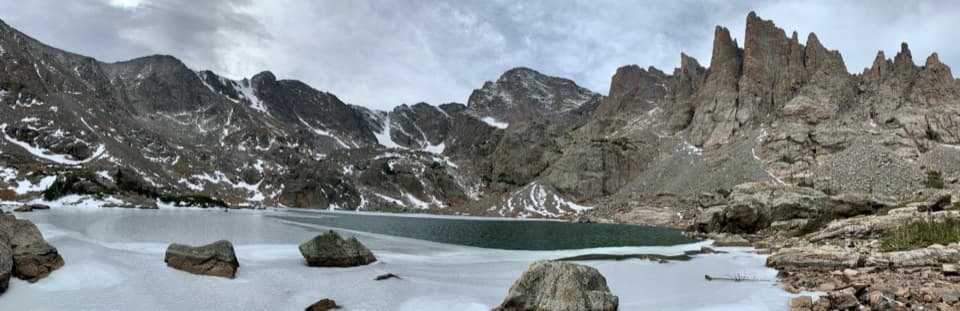
You’ll move across ancient crystalline rocks—gneiss and granite intrusions—and a landscape carved by Ice Age glaciers. Cirques like the one cradling Chasm Lake and the mountain’s soaring walls (including the famous east‑face "Diamond") are textbook glacial scenery.
Is it worth it?
If you’re a fit, experienced scrambler comfortable with exposure and moving efficiently in the alpine, Longs is a world‑class objective. If the exposure or weather isn’t for you, turning around at the Boulder Field or visiting Chasm Lake instead still makes for a stellar day without committing to the hazardous upper mountain.
Best time to visit
- Season: Late June–September for the most snow‑free travel.
- Day and timing: Weekdays to dodge crowds; start by 3 a.m. for sunrise alpenglow and to beat storms.
- Photography: Pre‑dawn stars on the approach can be incredible; sunrise light through the Keyhole and on the Diamond is magic when skies are clear.
Where it is
40.2549, -105.6160Tips for Longs Peak
- 01Leave by 3 a.m. and plan to be off the summit by noon.
- 02Wear a helmet above the Keyhole; the Trough sees frequent rockfall.
- 03Bring at least 3 liters of water and real food; there’s no resupply up high.
- 04Download the route and follow painted bullseyes carefully past the Boulder Field.
- 05No dogs are allowed on this route—plan pet care in advance.
Amenities
Near Longs Peak
All places →All trails →
0.2 mi awayChasm ViewHigh alpine perch facing Longs Peak’s Diamond and Chasm LakeScenic Viewpoint
0.2 mi awayThe DiamondLongs Peak’s famed east face, a high, committing alpine rock wall
0.4 mi awayKeyboard of the WindsSerrated Longs Peak skyline that steals the show from Glacier Gorge
0.5 mi awayThe KeyholeWind-scoured notch and gateway to Longs Peak’s final gauntletScenic Viewpoint
3.3 mi awayEast Longs Peak TrailColorado’s classic 14er climb via the Keyhole—serious Class 3Challenging · 14 mi · 12 hr
3.3 mi awayChasm Lake TrailA burly climb to Longs Peak’s jaw dropping alpine cirqueChallenging · 8.3 mi · 5 hr
3.3 mi awayLongs Peak Keyhole RouteColorado's classic fourteener—exposed, serious, and wildly rewarding.Challenging · 13.3 mi · 12 hr
3.3 mi awayBoulder FieldLong, windy grind to a surreal alpine boulder sea below the KeyholeChallenging · 12 mi · 12 hr