
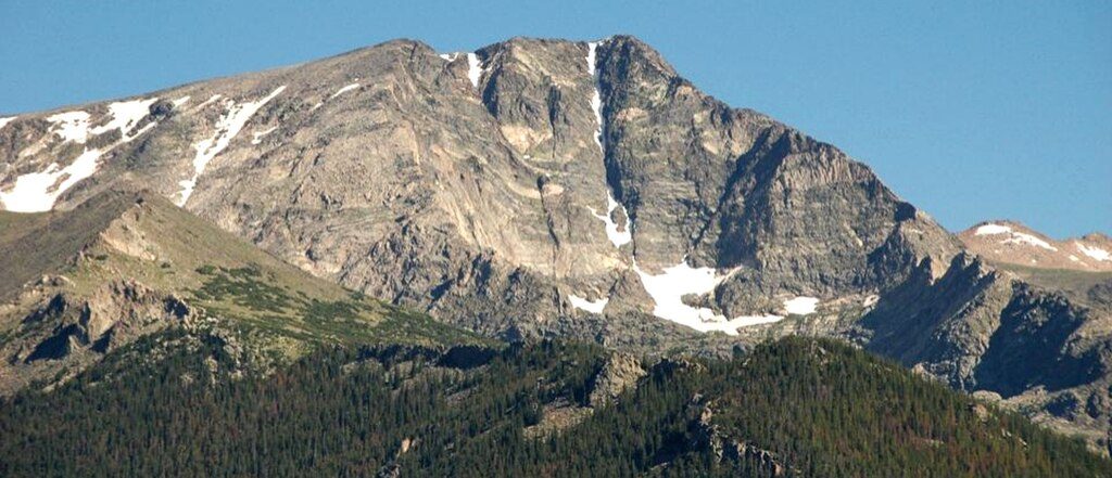
Place · 1 mi away
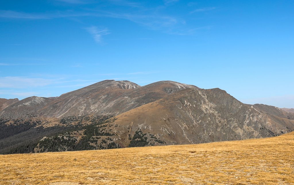
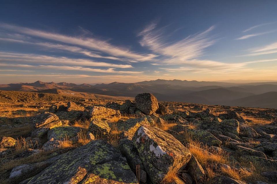
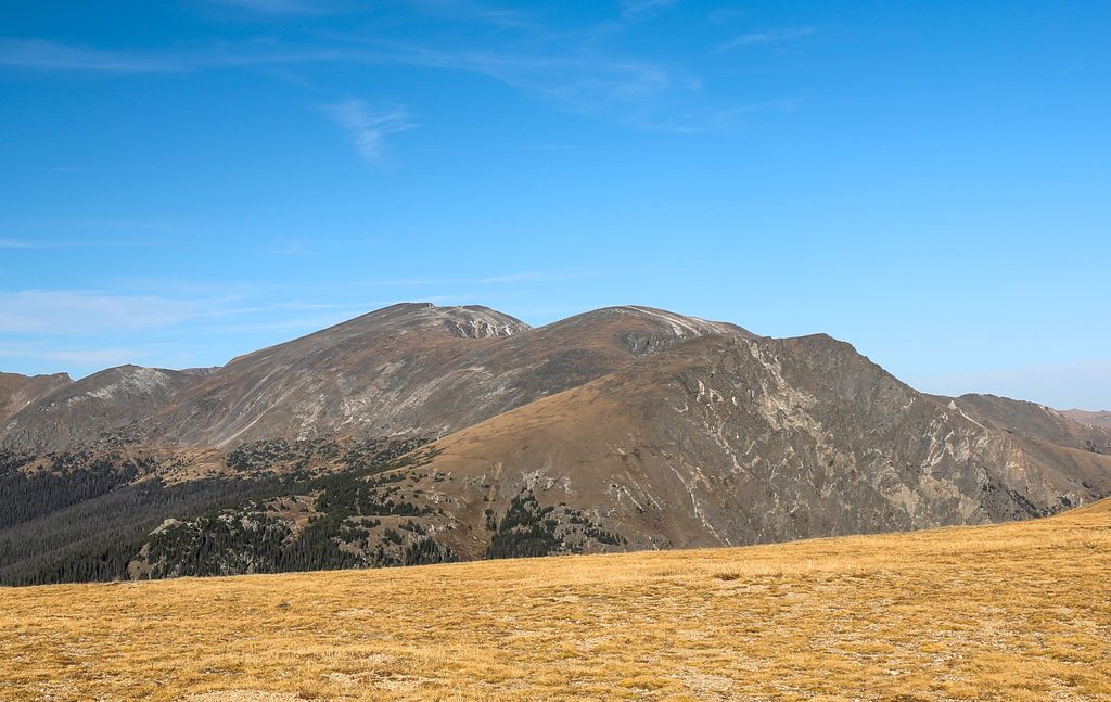
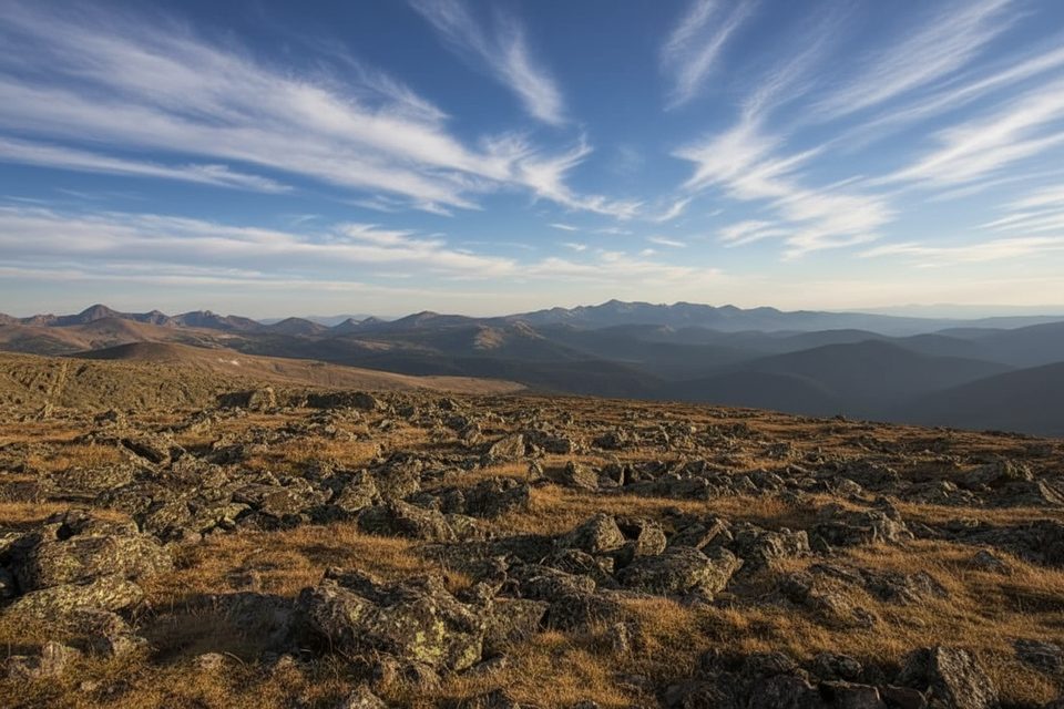
Mount Chiquita is a high‑alpine 13er that feels big without taking your entire day. From its broad summit, you’ll scan the Mummy Range, pick out Longs Peak, and trace distant Front Range ridges. It’s a rewarding, straightforward climb by itself and a natural middle peak for the classic Chapin–Chiquita–Ypsilon (CCY) ridge linkup.
The standard route starts at Chapin Pass on Old Fall River Road. Expect a hard, sustained climb on tundra and talus with a faint path near the top. Chiquita as an out‑and‑back is roughly 5.1 miles with around 2,000+ feet of gain. If you continue the CCY ridge, plan for about 8–10 miles and 3,100–3,500+ feet of gain depending on which summits you tag and how you backtrack.
Old Fall River Road is one‑way, gravel, and typically opens mid‑summer into fall. Chapin Pass parking is limited (think tight roadside pullouts), and it fills shortly after sunrise on busy days. In peak season, entrance fees and timed‑entry/vehicle reservations may apply. There’s no water at the trailhead or on the route—carry your own—and you should plan as if there are no restroom facilities.
You’re above treeline for much of the day. Wind can be fierce, temperatures swing wildly, and afternoon thunderstorms are common in summer. Start early, watch the sky, and turn around if storms build. Near the summit the trail can fade into trampled tundra and talus with a touch of Class 2 scrambling—nothing technical for experienced hikers, but it’s exposed and slow when gusty.
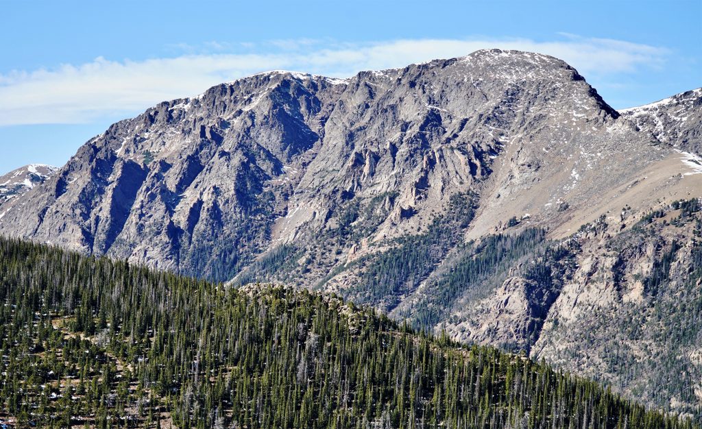
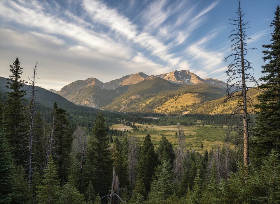
This hike is all about big country: panoramic looks at the Mummy Range, dramatic views toward Ypsilon’s Donner and Blitzen ridges and the Y‑couloirs above Spectacle Lakes, and even the Lava Cliffs area across the high alpine. Keep an eye out for elk along the alpine benches; bighorn sheep, ptarmigan, and Clark’s nutcrackers also make regular appearances.
Mid‑July through September offers the most reliable access when Old Fall River Road is open and tundra is snow‑free. Go Monday–Thursday if you can, and start pre‑dawn to secure parking, beat wind, and be off the ridges before afternoon lightning. Morning light is best for crisp views; golden hours are gorgeous but risky with late‑day weather.
The alpine tundra here is fragile. Stay on durable surfaces (rock or the established path), avoid shortcutting or braiding trails, and pack out all waste.
Place · 1 mi away
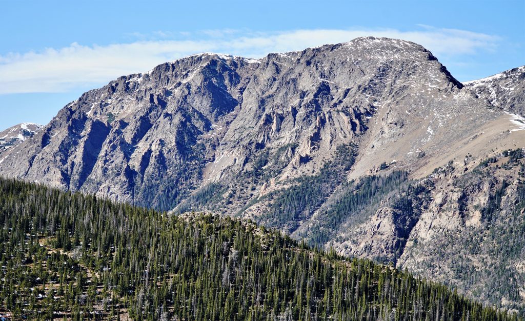
Place · 1 mi away
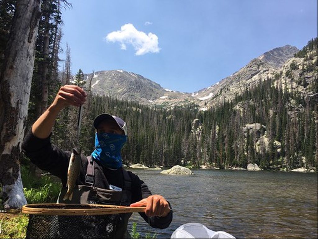
Place · 1.3 mi away
Place · 2 mi away
Challenging · 2.3 mi away
Challenging · 2.3 mi away
Challenging · 2.3 mi away
Challenging · 2.3 mi away

Parkwolf Tour Guide
