
Place · 1 mi away
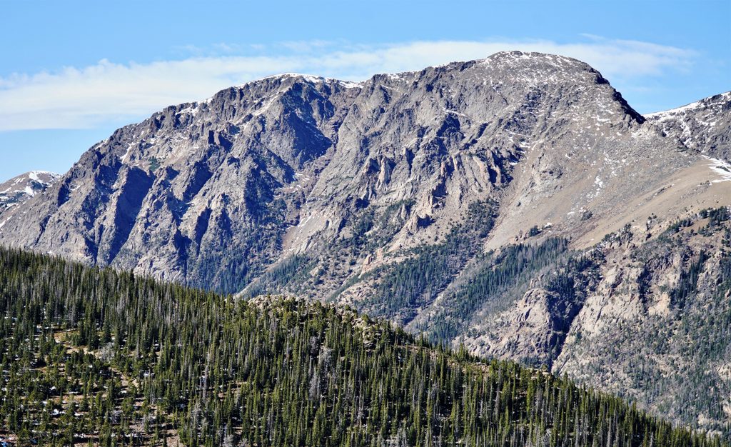
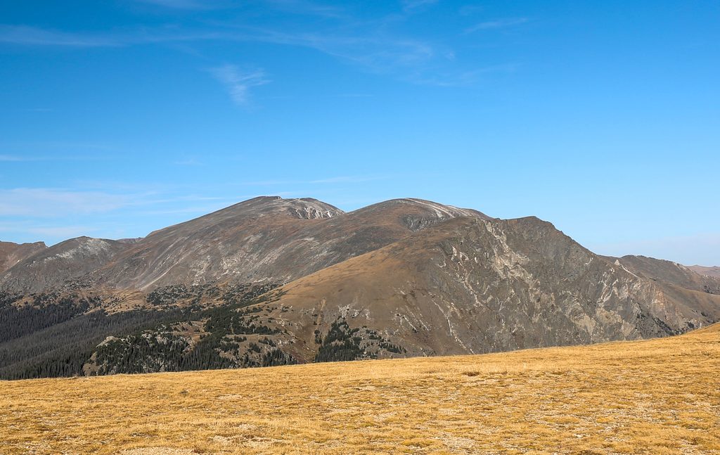
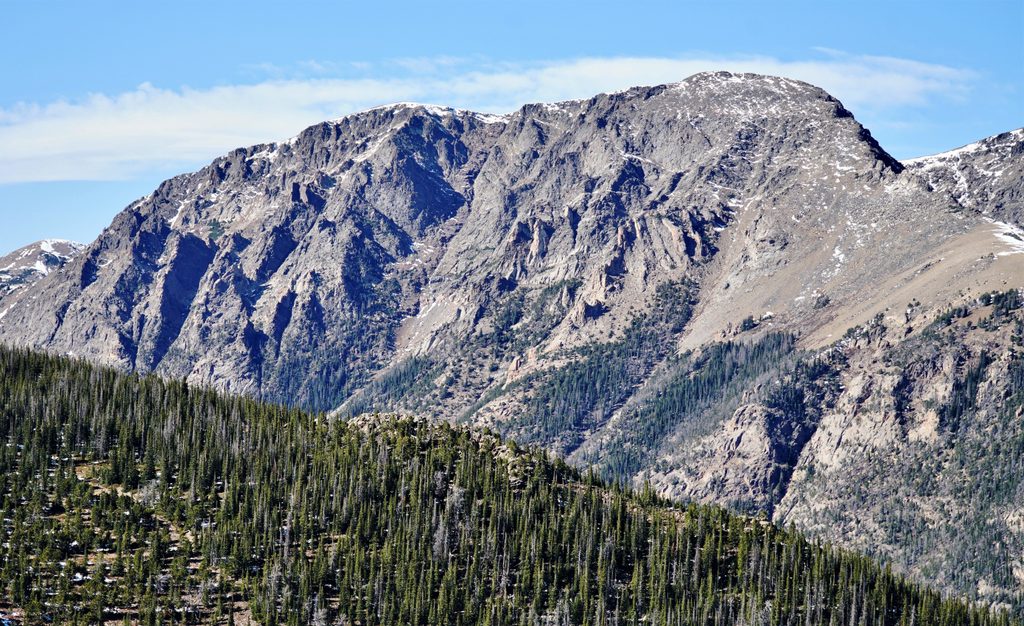
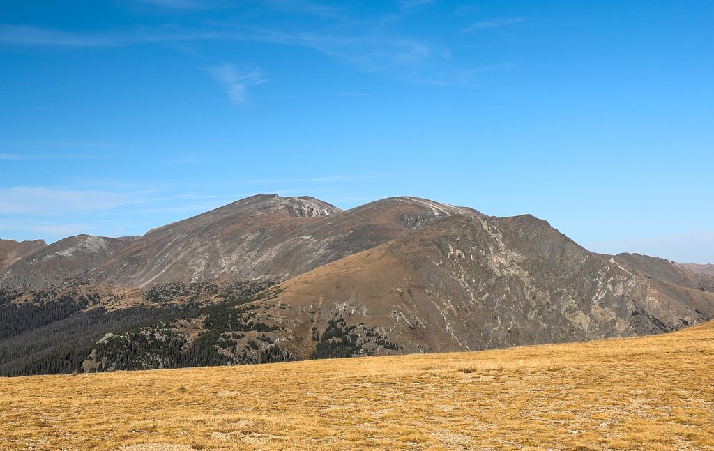
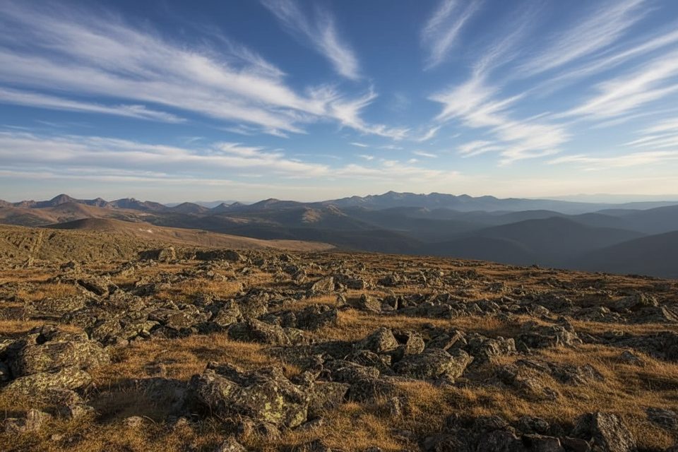
Mount Chapin tops out at 12,455 feet and delivers big alpine bang for a relatively short, steep effort. You’re above treeline quickly, surrounded by rolling tundra, summer wildflowers, and long views toward Longs Peak and the lakes tucked east of the ridge. It’s a quieter, hidden-gem summit compared to the park’s marquee trails.
Expect about 4 miles round trip and roughly 1,470 feet of gain on an out‑and‑back to the summit. The path climbs steadily from just over 10,000 feet, breaks out of sparse forest into open tundra, and includes occasional scree/talus underfoot. Wind is common, and even in midsummer it can feel cold up high.
Route-finding is straightforward early on with signed junctions; take the right forks for the “all summits” direction. Near about 1.7 miles, an unmarked side path climbs roughly 0.3 miles and ~400 vertical feet to Mount Chapin’s top. From the summit, return to the saddle to retrace your steps.
Start from the Chapin Creek/Chapin Pass area on Old Fall River Road, a scenic, one‑way gravel road that runs east to west from the Endovalley picnic area toward Fall River Pass. Parking is roadside-only at small pullouts (think a dozen or so spots total), so arrive early in peak season. There are no facilities here—no toilets, no water, no picnic area—so come prepared.
This route spends a long time above treeline. Typical summer pattern: thunderstorms building by early afternoon. Start early and plan to be descending by late morning. The altitude makes everything feel harder; acclimatize if you’re coming from low elevation. Pack sturdy footwear for talus and scree, warm/wind layers, sun protection, and enough food and water.
This is classic alpine habitat. Marmots and pikas haunt the rock piles, and bull elk often roam the high meadows. In mid‑summer, the tundra pops with flowers—handle the fragile ground with care and stay on durable surfaces.
Strong parties often link Chapin → Chiquita → Ypsilon for a bigger day. Expect mostly Class 2 tundra and talus with unofficial paths beyond the pass, significant additional gain, and long exposure to fast-changing weather. Carry a map/GPX and set a firm turnaround time.
The high country here sits atop rocks shaped by ancient seas that once covered the region, later uplifted as the Rocky Mountains rose near the end of the Cretaceous. Those long geologic swings left today’s resistant summits and sweeping alpine ridges.
Place · 1 mi away
Place · 1.3 mi away
Place · 1.8 mi away
Place · 1.9 mi away
Challenging · 1.5 mi away
Challenging · 1.5 mi away
Challenging · 1.5 mi away
Challenging · 1.5 mi away

Parkwolf Tour Guide
