
Place · 1.3 mi away
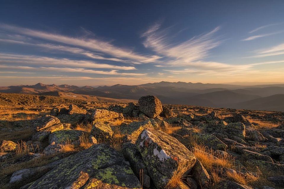
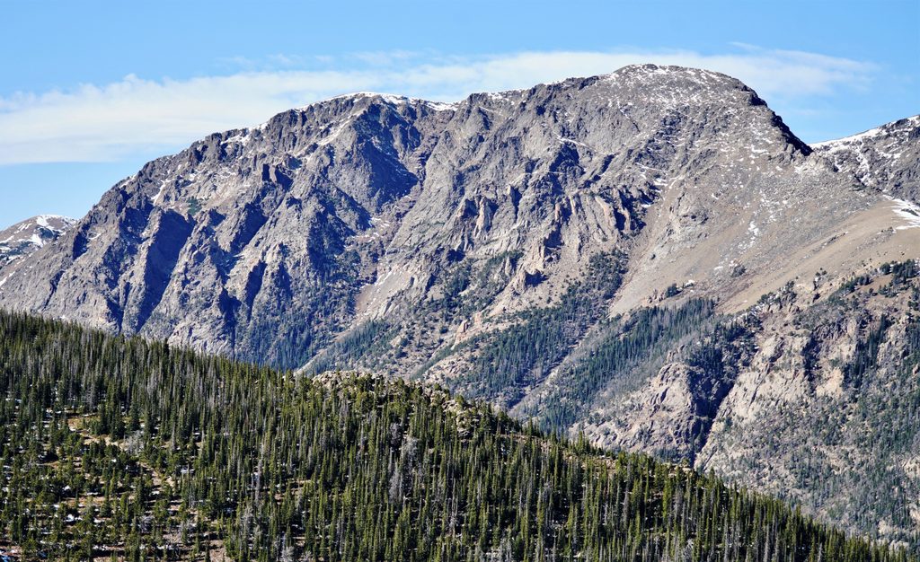
Perched high on Old Fall River Road, Chapin Pass Trailhead is a small, no-frills pullout that drops you right into Colorado’s alpine tundra. From here, you can be on a summit ridge fast—think big 360-degree views with minimal forest time. It’s a hidden-gem start for the Mount Chapin–Chiquita–Ypsilon area, but the elevation, weather, and thin air demand respect.
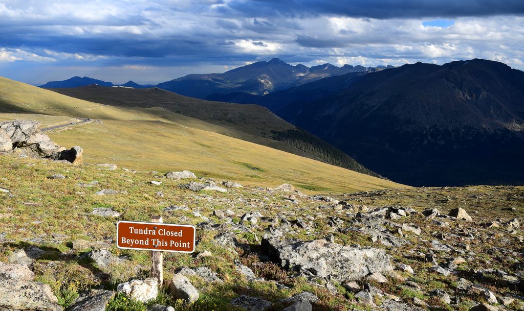
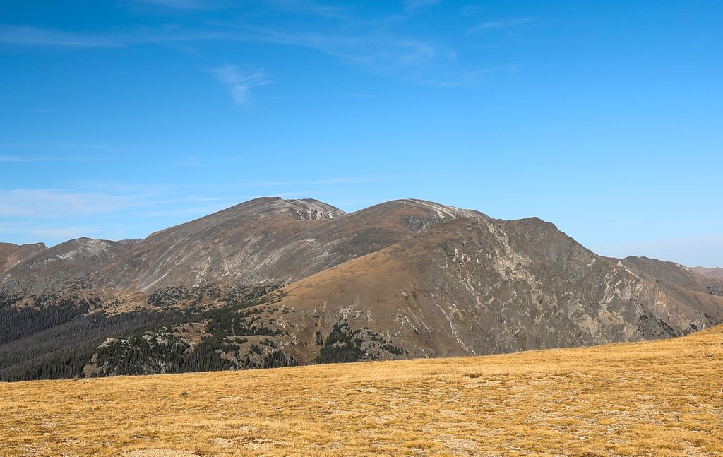
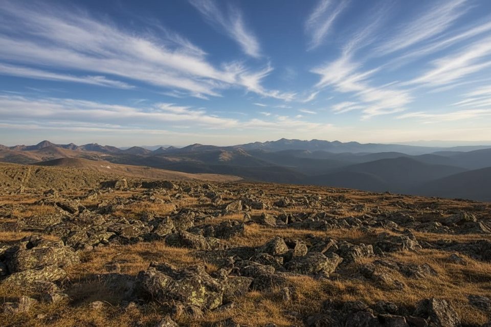
Expect a rapid transition from scattered trees to open tundra, with rolling carpets of summer wildflowers and near-constant views across glacially carved valleys. Keep an eye out for elk moving through the high meadows and the telltale squeaks of pikas and marmots among the rocks.
Overall, expect a hard hike for the distance due to altitude, exposure, and short, steep pushes.
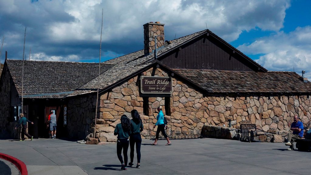
Access is via Old Fall River Road, a seasonal, one-way (uphill) graded dirt road typically open in midsummer through early fall. Parking is extremely limited—there’s no true lot, just roadside spaces—and they fill early. Don’t count on facilities here; plan as if there are no restrooms, water, or trash service at the trailhead.
It can be cold and windy even in July. Afternoon thunderstorms are common, and lightning is a real risk above treeline—start early and set a hard turn-around time. The summit area has loose rock and short scree sections; sturdy footwear and sure footing help. Hydrate well and watch for altitude symptoms; this trailhead starts above 10,000 feet.
This high, open country is prime for elk sightings and small alpine specialists like marmots and pikas. Give all animals generous space, keep food and salty gear secured, and stay on durable surfaces to protect the fragile tundra.
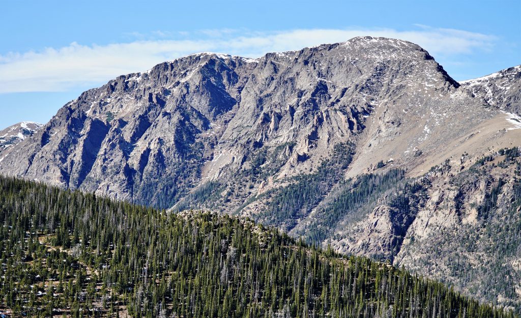
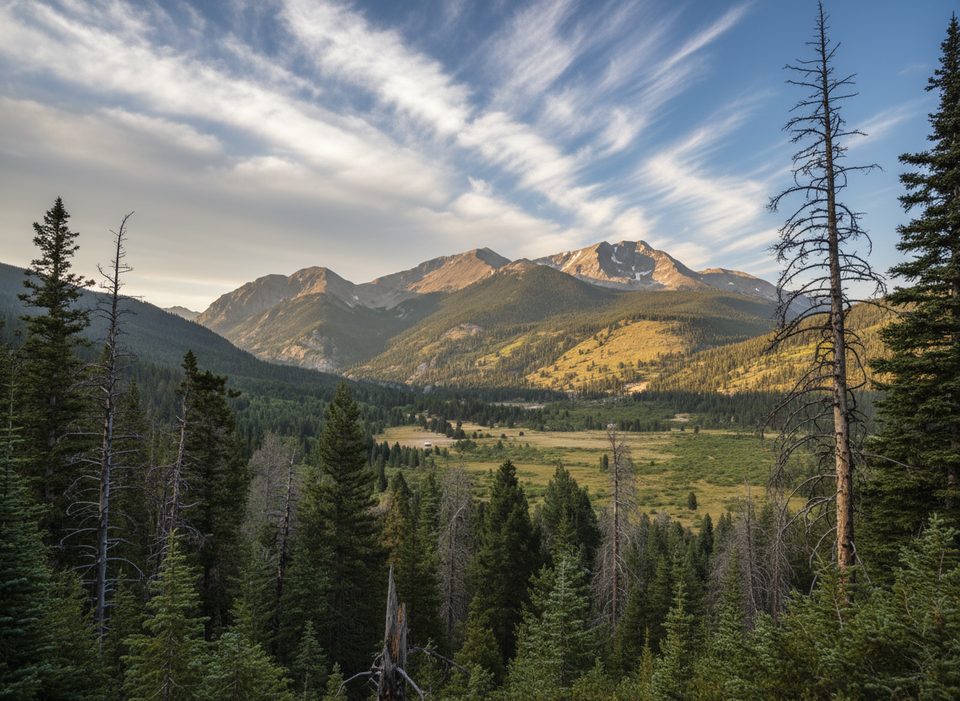
From the pass and along the road corridor you’re looking into classic glacial terrain: broad, U-shaped valleys, moraines, and smoothed bedrock. It’s an easy place to read the story of past ice while scanning an endless skyline.
Place · 1.3 mi away
Place · 1.5 mi away
Place · 1.5 mi away
Place · 1.5 mi away
Challenging · 0.2 mi away
Challenging · 0.2 mi away
Challenging · 0.2 mi away
Challenging · 0.2 mi away

Parkwolf Tour Guide
