
Place · 0.2 mi away
Challenging
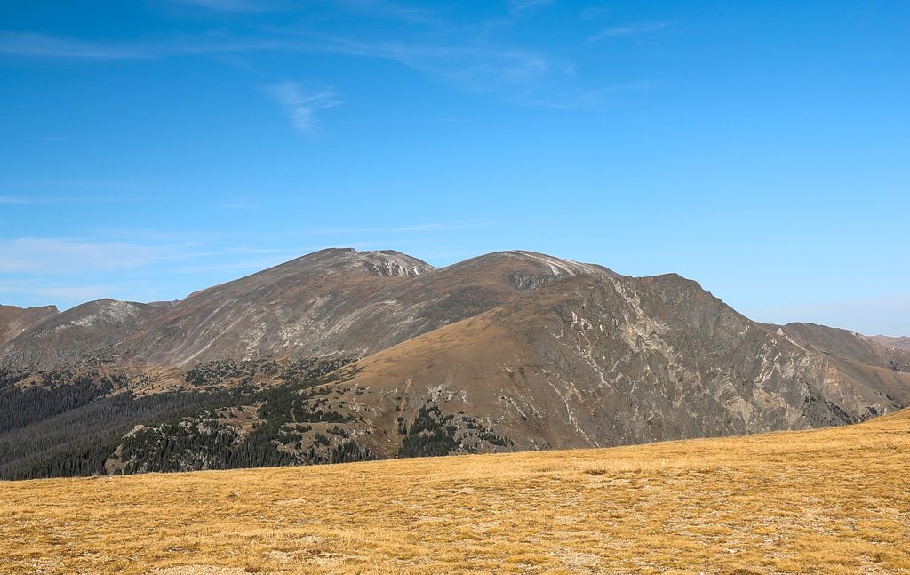
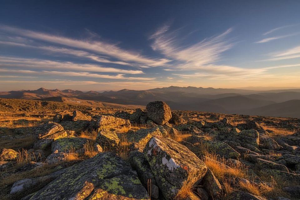
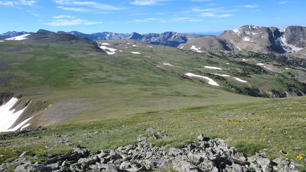
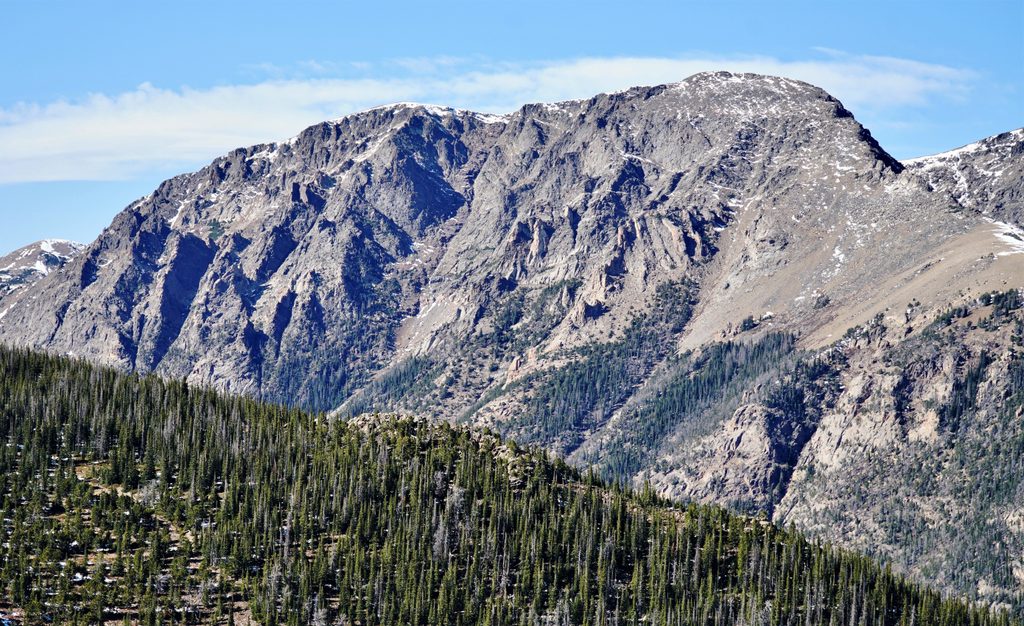
If you want fast access to big alpine, Mount Chiquita delivers. The standard out-and-back clocks about 5.1 miles total with roughly 2,080–2,155 feet of gain, topping out a bit over 13,000 feet. It’s a leg- and lung-burner mostly because of altitude and exposure, not because it’s technical. Expect sweeping views across the Mummy Range and down to lakes east of the peak. It’s excellent when conditions are calm; it’s miserable (and sometimes dangerous) when wind and storms roll in.
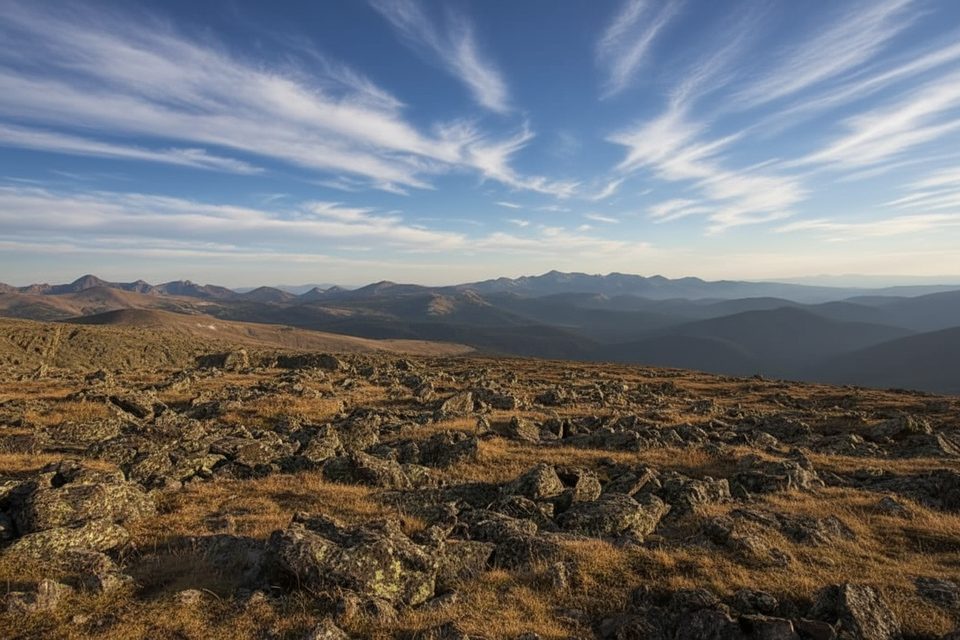
Start from Chapin Pass on Old Fall River Road and climb briefly to the signed junction for the summits. At the early “All Summits” sign you have two options: stay on the higher, official path that traverses Mount Chapin’s slopes, or take the lower, undesignated basin path that climbs to the Chapin–Chiquita saddle. The lower option often avoids talus and wind. From the saddle, a faint tundra track and cairns lead up Chiquita’s southwest slope. The tread fades near the top, but it’s straightforward Class 2 hiking with occasional rock hopping. Count on wind and full exposure above treeline.
Parking is at the Chapin Pass pullouts along Old Fall River Road, a narrow one-way dirt road entered near the Endovalley area. The trailhead sits at a sharp left bend, and spaces are limited—lots fill shortly after sunrise. Old Fall River Road typically opens to vehicles mid-summer into fall (generally July–November), so plan your season accordingly.
Start before sunrise. Afternoon thunderstorms are common in summer and you’re on an exposed ridge for long stretches. Mornings bring better light and calmer air, plus a fighting chance at parking. Even in July and August, it can be windy, cold, and occasionally snowy up high—bring layers year-round.
There’s no water on this route. Pack 2–3 liters and salty, calorie-rich snacks. Sun is relentless on the tundra—hat, sunglasses, sunscreen. Add trekking poles and a real wind/rain shell. If you’re coming from low elevation, budget extra time and pace conservatively; this hike feels much harder at 12–13k feet. For navigation, download an offline map—faint sections and any lingering snow can obscure the path. If weather builds or winds get punishing, turn around early; there’s no shelter on the ridge.
Strong parties often add Mount Chapin and Ypsilon Mountain for the classic CCY. Expect roughly 8.4–8.5 miles and 3,200–3,458 feet of gain, topping out around 13,514 feet on Ypsilon. Beyond the official trail, expect unmaintained or off-trail stretches, sparse cairns, and rockier, more committing terrain—start pre-dawn and bring an offline track. Some hikers use a faint “Chiquita bypass” on return from Ypsilon to avoid reclimbing Chiquita; only attempt it if you’re dialed on navigation.
No wilderness permit is required for day hiking here. Standard park entry fees apply. Overnight trips elsewhere in the park require a wilderness camping permit obtained in advance.
Park at Chapin Pass pullouts on Old Fall River Road (enter near Endovalley). The trailhead is at a sharp left bend; spaces are limited and fill shortly after sunrise. The road is one-way and open seasonally.
Start before sunrise to avoid summer thunderstorms. There’s no water, and the route is fully exposed and often windy. Navigation can be faint near the summit and on any multi-peak extension.
Place · 0.2 mi away
Place · 1.3 mi away
Place · 1.3 mi away
Place · 1.4 mi away
Challenging · 0 mi away
Challenging · 0 mi away
Challenging · 0 mi away
Easy · 1.3 mi away

Parkwolf Tour Guide
