
Place · 0.9 mi away
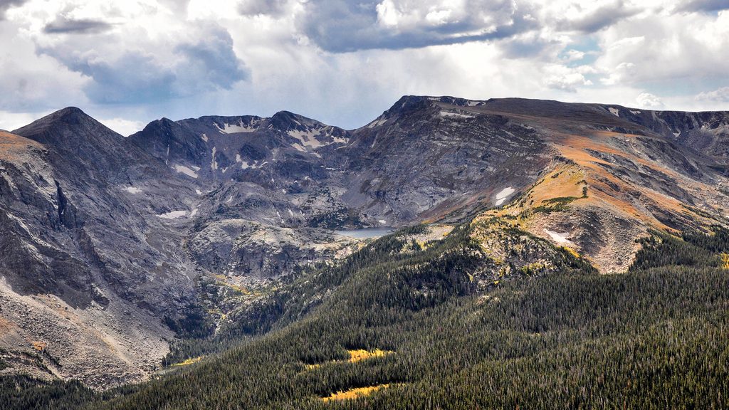
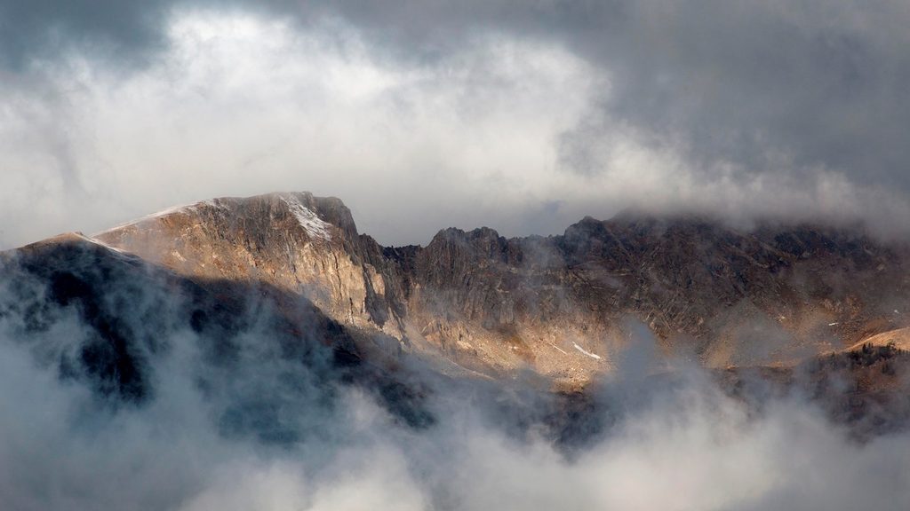
Mount Ida is one of the park’s big, rewarding alpine hikes: long stretches above treeline, constant views, and a final off-trail push to a wind-scoured summit around 12,889 feet. It’s strenuous not because of any single crux, but because you’re high, exposed, and out there for hours. On clear, low-wind days, it’s a stunner.
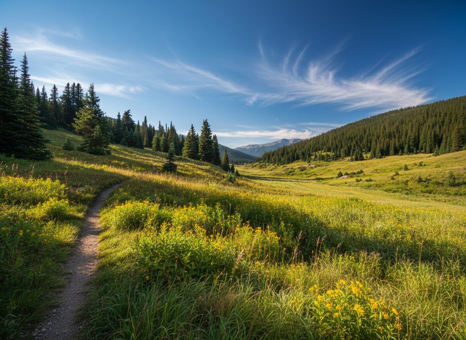
This route rides the Continental Divide with sweeping looks at cirque basins and distant ranges. Below the summit sit Azure and Inkwell Lakes tucked into a classic glacial cirque. Expect alpine tundra, talus, and a good chance of marmots, pika, ptarmigan, elk, and bighorn sheep keeping you company above the trees.
Best window is typically late June/early July through September or early October, but wind is a constant variable. Early season can still hold patchy or deep, wet snow near Milner Pass; by mid-summer it’s usually manageable. Weather turns fast on this ridge—afternoon thunderstorms are common—so pick a clear, low-wind day.
Much of the hike is exposed. Start at or before sunrise, monitor the sky, and aim to be descending by late morning. From near the summit it takes a while to reach cover below treeline. Layers and eye protection help with sustained winds, and trekking poles make the talus more civilized. Acclimatize, hydrate, and don’t be shy about turning around if weather builds.
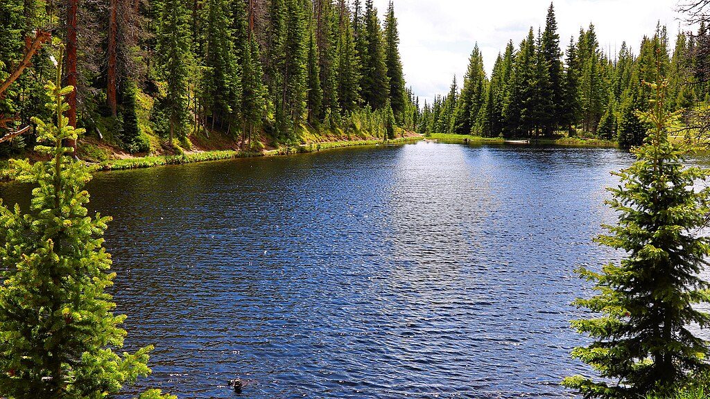
Trailhead: Milner Pass/Poudre Lake on Trail Ridge Road (small lot, roughly a couple dozen spaces). There are vault toilets here, but parking fills early—overflow pullouts and Lake Irene (about a half-mile south) are limited backups. Cell service is spotty; download driving and trail maps.
Rules and permits: No dogs. In summer, the park’s timed-entry system typically applies; this hike falls under the general Park Access window (not the Bear Lake Road corridor). Always check the current NPS rules and dates before you go.
You’re walking across a skyline shaped by uplift and ice. Glaciers carved the cirques and U-shaped valleys you’re looking into, leaving moraines and polished bedrock. Underfoot, ancient metamorphic and igneous rocks tell a story that spans nearly two billion years.
That final mile crosses fragile alpine vegetation. Spread out if you’re in a group, step on rock when possible, follow existing cairns lightly (don’t build new ones), and resist the temptation to cut fresh lines across the tundra.
Place · 0.9 mi away
Place · 1.9 mi away
Place · 3.5 mi away
Place · 3.5 mi away
Challenging · 2.3 mi away
Easy · 3.6 mi away
Easy · 3.7 mi away
Easy · 3.7 mi away

Parkwolf Tour Guide
