Pros & cons
PROS
- Secluded, off-trail alpine lake with big-mountain scenery
- Toilets at the Milner Pass start before you head into the backcountry
CONS
- Requires off-trail navigation with no signage or amenities
- Long, exposed above-treeline travel with fast-changing weather
- Mosquitoes can be heavy in season near the adjacent campsite
Overview
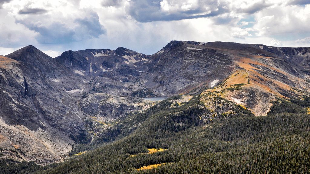
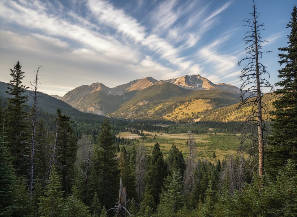
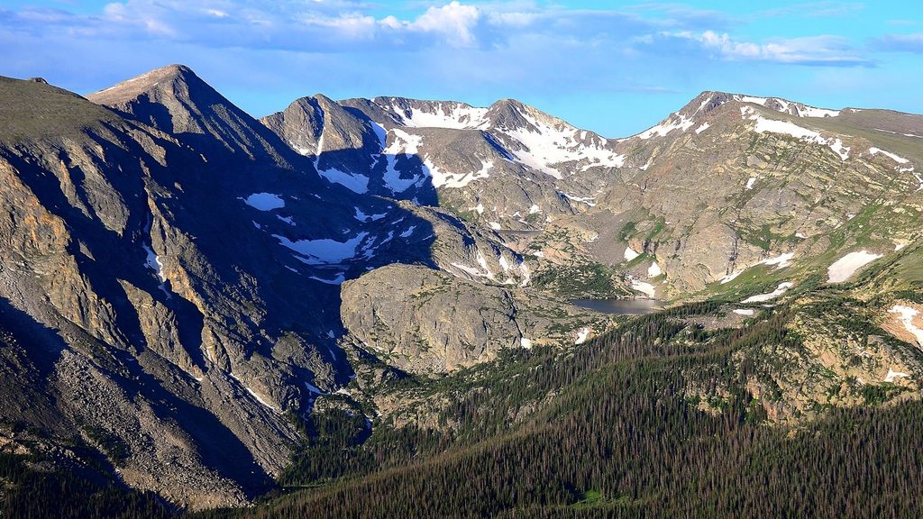
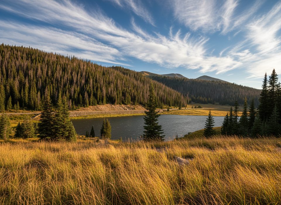
Rock Lake is a quiet, high-alpine tarn tucked away from the crowds—more a choose-your-own-adventure than a signed destination. Expect solitude, sweeping cirque walls, and classic glacial terrain. It’s the kind of spot you come to for big sky and silence, not boardwalks or benches.
Getting There (What’s realistic)
Most parties start from the Ute Trail at Milner Pass on Trail Ridge Road and use a mix of trail and cross-country travel to reach the basin that holds Rock Lake and the adjacent Little Rock Lake backcountry campsite. There’s a vault toilet at Milner Pass; after that, you’re on your own. Route-finding matters here—don’t count on cairns or a beaten path.
What to Expect on the Ground
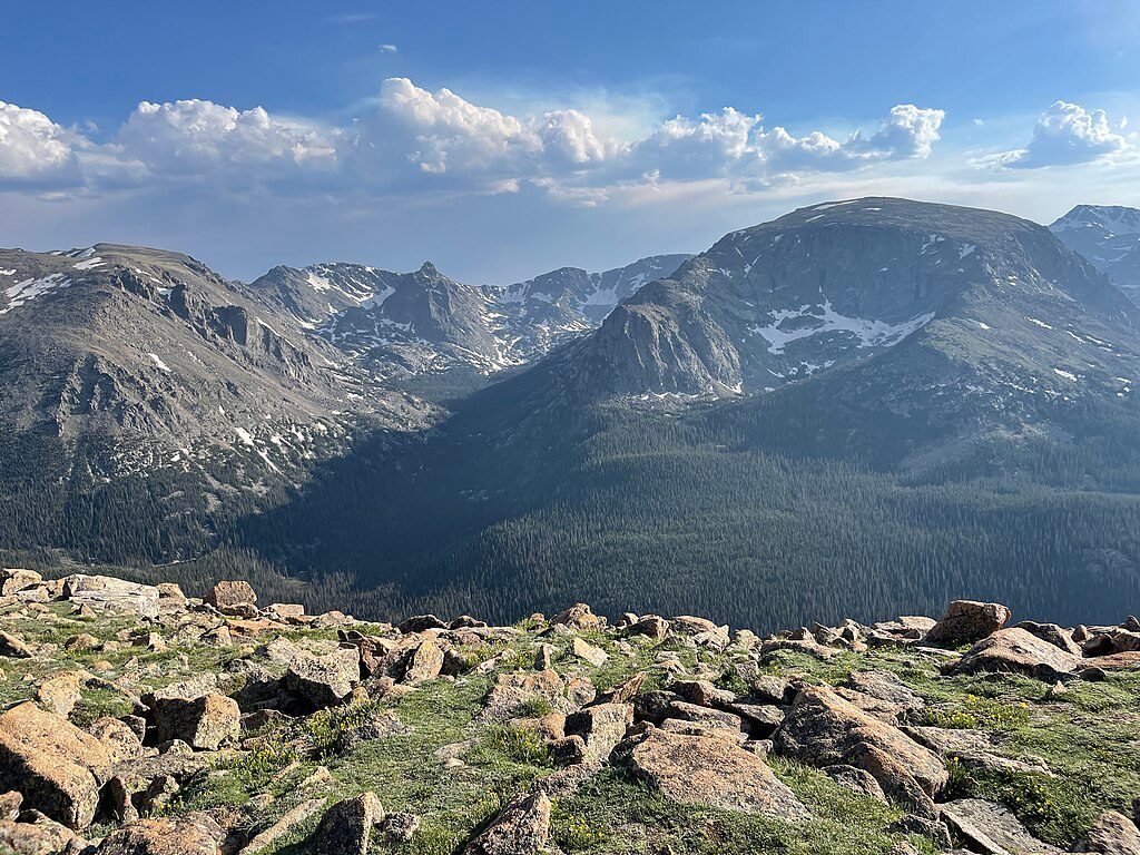
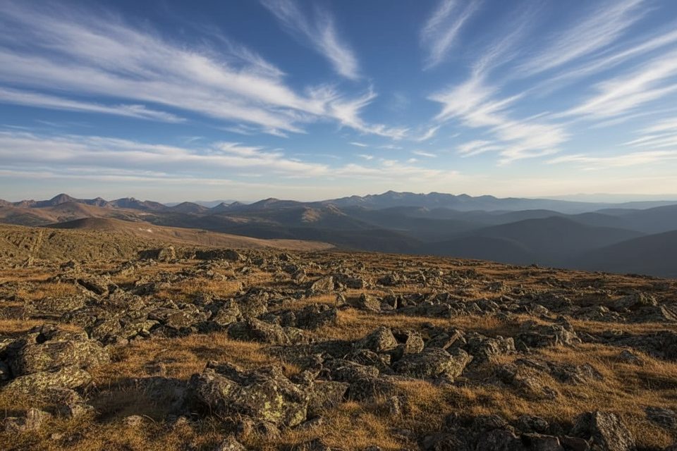
Much of the approach is above treeline, which means wind, sun, and no cover if a storm rolls in. Start early to dodge the typical summer thunderstorms, set a strict turnaround time, and bring layers; conditions can flip from warm to wintry fast. In mid-summer, mosquitoes can be persistent around the lakes. There are no amenities at the destination—pack everything you’ll need and pack it back out.
Why It’s Special
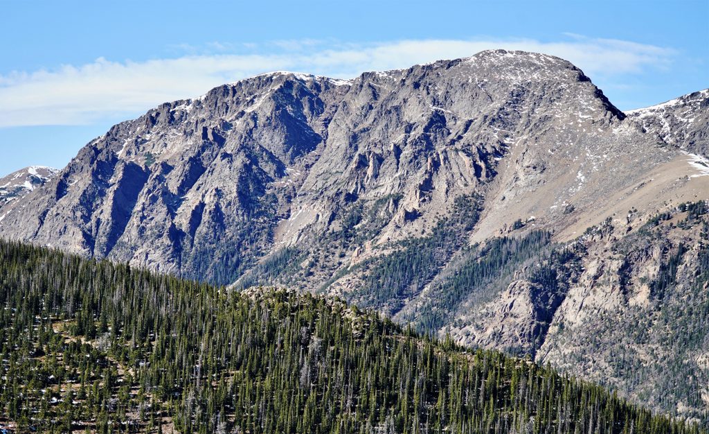
Unlike the front-country lakes, this one feels wild. You get a real sense of the park’s glacial history—steep headwalls, talus, and a tight, rock-rimmed basin. If you’re comfortable navigating off trail, the payoff is a genuinely quiet alpine scene.
Wildlife
This zone sits on the edge of subalpine and alpine habitat. Elk and mule deer wander the ridges, marmots and pikas whistle from the rocks, and moose sometimes browse in willowy drainages. Give all wildlife plenty of space—especially moose.
Seasonal and Access Notes
Trail Ridge Road is highly seasonal; early or late in the year, partial closures can block access from one side of the park. In peak season the park uses timed entry with a separate window for Bear Lake Road versus the rest of the park (Milner Pass falls under the “rest of park” window). Plan accordingly so your entry time matches your alpine start.
Best Time to Visit
- Late July through September for the most reliable snow-free travel.
- Be on trail at dawn for calmer winds, better photography light, and to beat afternoon storms.
- Weekdays see fewer cars at Milner Pass; the lot is small and fills early.
Where it is
40.3885, -105.7496Tips for Rock Lake
- 01Begin from the Ute Trail at Milner Pass; parking is limited—arrive very early.
- 02Carry map/compass or GPS and set a hard turnaround time for storms.
- 03No facilities beyond Milner Pass; Lake Irene’s picnic area is the nearest spot for a post-hike meal.
- 04Peak season timed entry uses two windows: Bear Lake Road (5 a.m.–6 p.m.) and the rest of the park (9 a.m.–2 p.m.); Milner Pass is the latter [nps.gov](https://www.nps.gov/places/rmnp-timed-entry.htm) [recreation.gov](https://www.recreation.gov/timed-entry/10086910/ticket/10086912) [rockymountainnationalpark.com](https://www.rockymountainnationalpark.com/gallery/20241109/).
- 05Trail Ridge Road access is seasonal; check current status before committing to an alpine start.
Near Rock Lake
All places →All trails →
1.8 mi awayRock Cut OverlookHigh-alpine stop for tundra views, pika chatter, and an easy paved strollTrailhead · Pullout
1.9 mi awayTundra Communities TrailShort, high-alpine stroll to mushroom rocks and 360-degree viewsEasy · 1.1 mi · 42 min
1.9 mi awayMount IdaWindy alpine summit with wildlife and jaw-dropping Divide viewsScenic Viewpoint
2 mi awayForest Canyon OverlookHigh-alpine overlook for sweeping glacial valleys and marmot watchingParking · Scenic Viewpoint
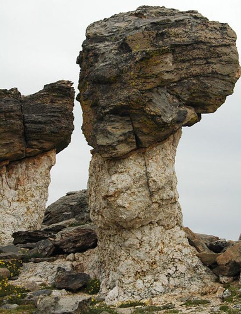
2.1 mi awayMushroom RocksWhimsical tundra rock garden with sweeping alpine viewsParking · Restroom
3.4 mi awayChapin–Chiquita–Ypsilon (CCY)Triple-summit ridge walk with big tundra views and real weather.Challenging · 8.4 mi · 7.5 hr
3.4 mi awayChapin Pass TrailHigh-alpine tundra stroll with big views and a quiet summit optionChallenging · 4 mi · 2.7 hr
3.4 mi awayMount ChapinShort high elevation climb to big tundra views without all day effortChallenging · 4 mi · 2.7 hr