Pros & cons
PROS
- Moose and elk sightings are common, especially early
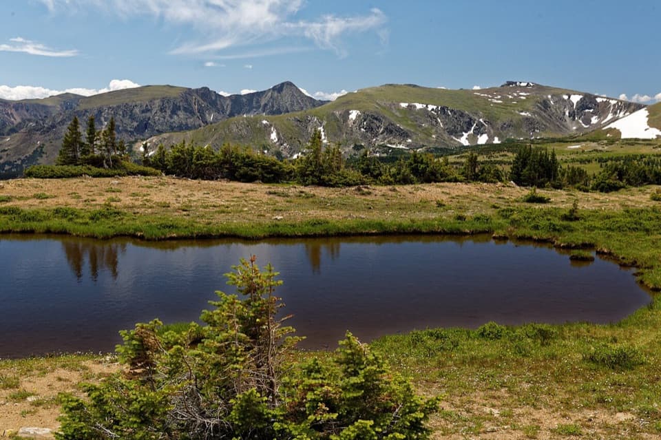
- Rewarding alpine basin with meadows, ponds, and Mount Ida views
- Good high-country fishing at the lake
CONS
- Active landslide section on the trail requires a short scramble
- Long, steep hike with significant elevation and potential snow/ice
Overview
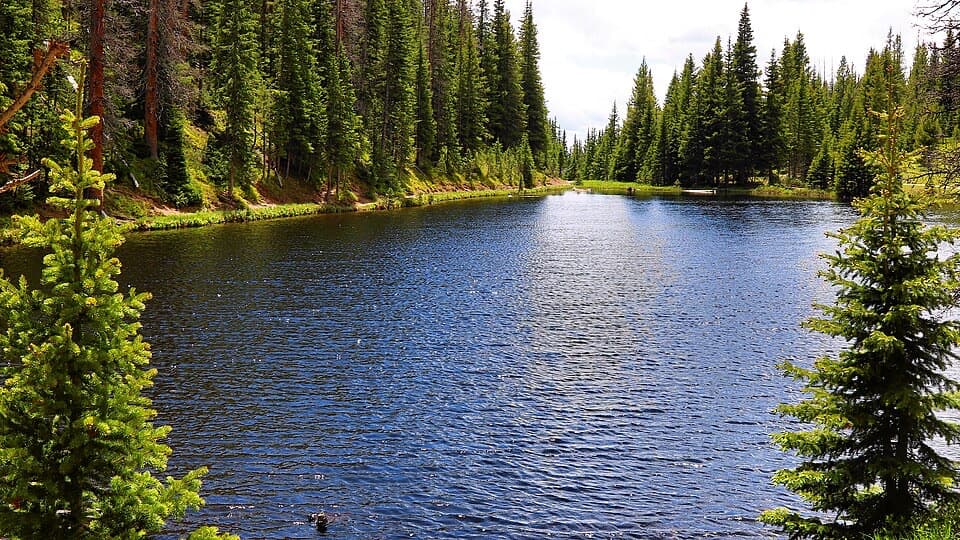
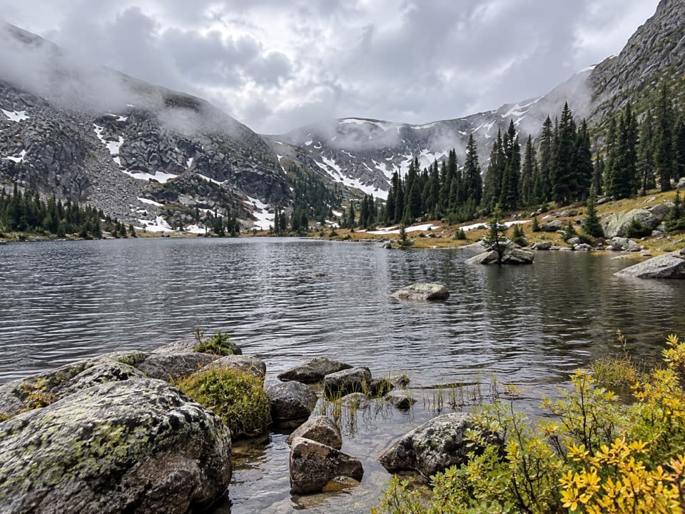
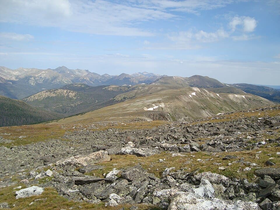
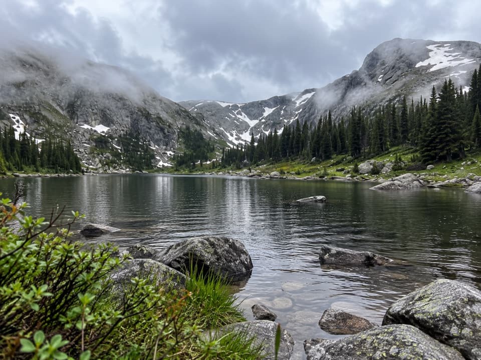
Timber Lake is a classic west-side payoff: a serene subalpine lake in a broad basin beneath Mount Ida after a stout climb. Expect roughly 10 miles round trip with around 2,100–2,400 feet of gain and a high point a touch above 11,000 feet. It’s a challenging day that feels harder at altitude, but the lake, meadows, and surrounding peaks deliver.
Route highlights
The trail starts on the west side off US‑34 and climbs steadily through lodgepole forest with occasional peeks into the Kawuneeche Valley and toward the Never Summer Mountains. Around 2.5 miles in, you’ll cross an active landslide zone—short, scrambly, and ever‑changing—then continue past meadows and steeper switchbacks. Near the top, the forest opens to rolling subalpine meadows with big views of Mount Ida before you drop into the Timber Lake basin, where two small adjacent ponds sit just below the main lake.
What you'll see
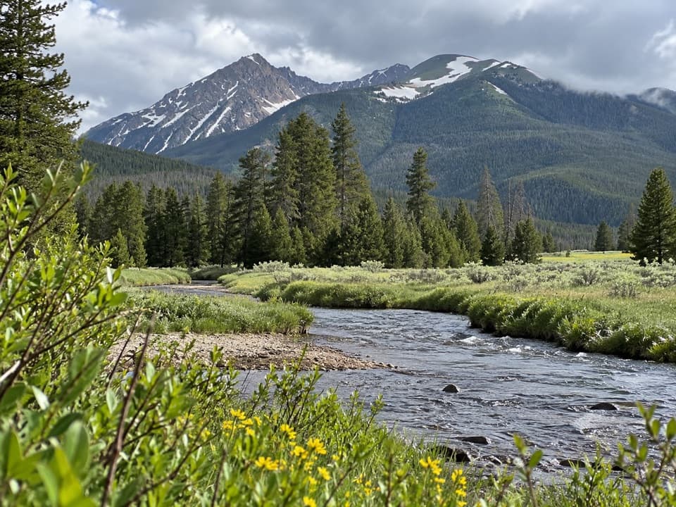
This route strings together dense, “mysteriously thick” west‑side forest, flower‑spotted meadows, creeks, and a mountain‑ringed lake. Wildlife is a real draw here—moose and elk are commonly reported, and early mornings at the lake are your best bet. In June, bring bug spray; mosquitoes can be lively around the water. Social paths trace parts of the shoreline; tread lightly to protect fragile tundra plants.
Conditions and hazards
- Landslide: Expect a brief but awkward crossing over loose dirt, downed logs, and uneven footing. Trekking poles help, and it’s wise to check current conditions with rangers.
- Weather: This is high country—snow and ice can linger into early summer and return early in fall. Summer afternoons often bring thunderstorms; start early. In winter and shoulder seasons, you may need traction or snowshoes, and avalanche conditions can exist on adjacent slopes.
- Altitude: Hydrate, pace yourself, and carry extra layers and a rain shell. Sun is intense up high—use sunscreen.
Fishing and camping
Anglers report good fishing at Timber Lake; follow regulations and consider catch‑and‑release to keep this alpine fishery healthy. Backpacking is allowed only at designated sites with a permit; expect no fires in most backcountry zones and proper food storage requirements.
Access and logistics
Parking at the trailhead is limited; arrive early in peak season. Don’t count on trailhead water—fill up in town or at open west‑side facilities like the visitor center or campground when in season. Entry fees apply, and during peak season hours, timed‑entry permits are required. No dogs are allowed on this trail.
Best time to visit
May–October is typical, though early season can mean snowpatches and a trickier landslide crossing. Aim for a crack‑of‑dawn start on weekends to secure parking, catch calm water and wildlife, and be off exposed sections before afternoon storms. Photographers get even light on the meadows and a pleasing cross‑light on the basin in early morning; late afternoon can be windy up high.
Where it is
40.3745, -105.7966Tips for Timber Lake
- 01Start at dawn to improve moose chances, secure parking, and beat storms.
- 02Use trekking poles for the landslide crossing and steep switchbacks.
- 03Carry 2–3 liters of water and a filter; don’t count on trailhead spigots.
- 04Check timed‑entry requirements and current trail conditions with rangers before you go.
- 05No dogs allowed; even in summer bring layers and a rain shell.
Amenities
Near Timber Lake
All places →All trails →
0.9 mi awayMount IdaWindy alpine summit with wildlife and jaw-dropping Divide viewsScenic Viewpoint
1.4 mi awayTimber Lake TrailWest side climb to a quiet alpine lake beneath Mount IdaChallenging · 10.3 mi · 5.5 hr
2.7 mi awayRock LakeRemote alpine tarn reached by off-trail navigation and big views
2.7 mi awayFarview Curve OverlookGrand west-side valley views and a peek at the Colorado’s startPullout · Parking
2.8 mi away2 miles above sea levelCruise the alpine tundra two miles high on Trail Ridge RoadParking · Scenic Viewpoint
3 mi awayLake Irene LoopQuick high-country loop with picnic tables and mirror-still viewsEasy · 0.8 mi · 24 min
3.2 mi awayPoudre TrailEasy headwaters ramble with elk, big views, and trout waterEasy · 4.5 mi · 1.6 hr
3.3 mi awayColorado River TrailQuiet west side river ramble with easy wildlife and history payoffsEasy · 4.3 mi · 1.4 hr