Parking
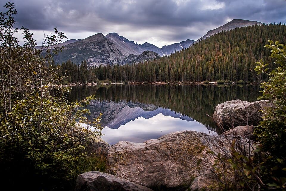
Start at the Rock Cut parking area on Trail Ridge Road; the trail begins from this lot. Road access is seasonal.
Rocky Mountain National Park, CO
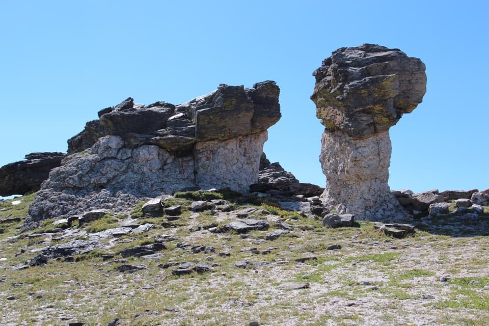
A short paved climb to a memorial among mushroom rocks.
Overview
Map & elevation
Plan your hike

The highest, rockiest slopes around here are a summer buffet for grizzly bears.
Rocky Mountain Tour Guide
Parkwolf is a GPS audio tour guide for Rocky Mountain National Park. As you drive, it chimes in with what’s ahead: hidden gems, upcoming stops, history, geology, and wildlife, right through your car’s speakers.
See the Rocky Mountain audio tourRecorded for this trailhead
Rock Cut: Pikas and a Tundra Study“Up ahead is Rock Cut, a roadside stop for open tundra views above twelve thousand feet. You don't need to take a long walk here: look among the rocks for pikas, which are often seen moving around this area.”
Plays as you drive up to this trailhead in the Parkwolf Rocky Mountain Tour Guide.
More stories near here in the app
“…No cell service for majority of the day but had continuous access to the app - the maps, the tour guide as you drive is amazing. Highly recommend purchasing the subscription.”


Trail guide
Tundra Communities Trail is a roughly 1.2-mile out-and-back from Rock Cut to Roger Toll Memorial and back along the same path through alpine tundra. It climbs about 200 feet and reaches roughly 12,319 feet; allow about an hour for the walk and its stops. The route is easy by distance, but the steep opening climb can feel much harder at this altitude. Take it slowly, especially if you have just driven up. It is a good way to get out among the tundra and mountain views without committing to a long summit hike.
From the Rock Cut parking area, the built path rises steeply for about the first quarter-mile, then the grade eases as you cross open, low-growing tundra. Interpretive signs explain the plants and the conditions that shape this landscape. Around four-tenths of a mile, a side path leads to Mushroom Rocks: tall formations with dark, layered caps balanced on pale stone. From the far side, Longs Peak and Forest Canyon open up behind them. For a photo, frame one of the rock caps against the mountains so the unusual shape reads clearly.
Continue to the rocky outcrop at the end of the trail, where a plaque honors Roger Toll and a metal geology marker points out nearby peaks and their elevations. Toll led Rocky Mountain National Park as superintendent from 1921 to 1929 and was a mountaineer. The marker gives the walk a clear endpoint; stay a while for the broad view across Longs Peak, Forest Canyon and the Mummy Range before retracing the route to Rock Cut.
The park's tundra begins around 11,000 to 11,500 feet, where trees give way to plants that hug the ground against cold and wind. In summer, alpine forget-me-nots and yellow alpine avens are among the flowers; the park's wildflower season runs roughly from late May into early August, though snow and weather shift the display. Pikas and marmots are commonly seen along Trail Ridge, but sightings are never guaranteed. Keep to the designated path: tundra plants grow slowly, and damaged ground can take hundreds of years to recover.
Rock Cut is reached by Trail Ridge Road, which is normally open only seasonally, generally from Memorial Day weekend to mid-October. Check the road status before setting out. Wind is common on the tundra, temperatures are usually much colder than in Estes Park, and afternoon rain and lightning storms are common in summer. A warm layer matters even on a sunny day. Pets are prohibited on Rocky Mountain National Park trails, tundra and meadows.
Wildlife
 3,124 sightingsElkMost seen around 6 PMSighting map
 1,601 sightingsMooseMost seen around 7 PMSighting map
 19 sightingsMountain GoatMost seen around 7 AMSighting map
 19 sightingsBald EagleMost seen around 8 AMSighting map
 30 sightingsGolden EagleMost seen around 10 AMSighting map
 270 sightingsBighorn SheepMost seen around 11 AMSighting map
Sighting maps show where each species has been reported across Rocky Mountain. Wildlife moves, so no sighting is guaranteed.
Keep exploring
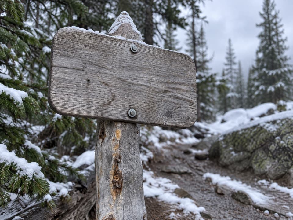 ChallengingChapin Creek Trail1.3 mi · 1.3 hr · 1.7 mi awayA steep creek path fades into a high mountain meadow.
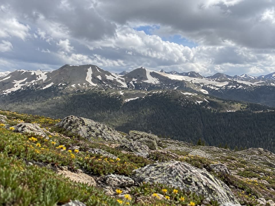 ModerateAlpine Ridge Trail0.6 mi · 45 min · 2.3 mi awayA steep stair climb to a 12,000-foot, four-direction view.
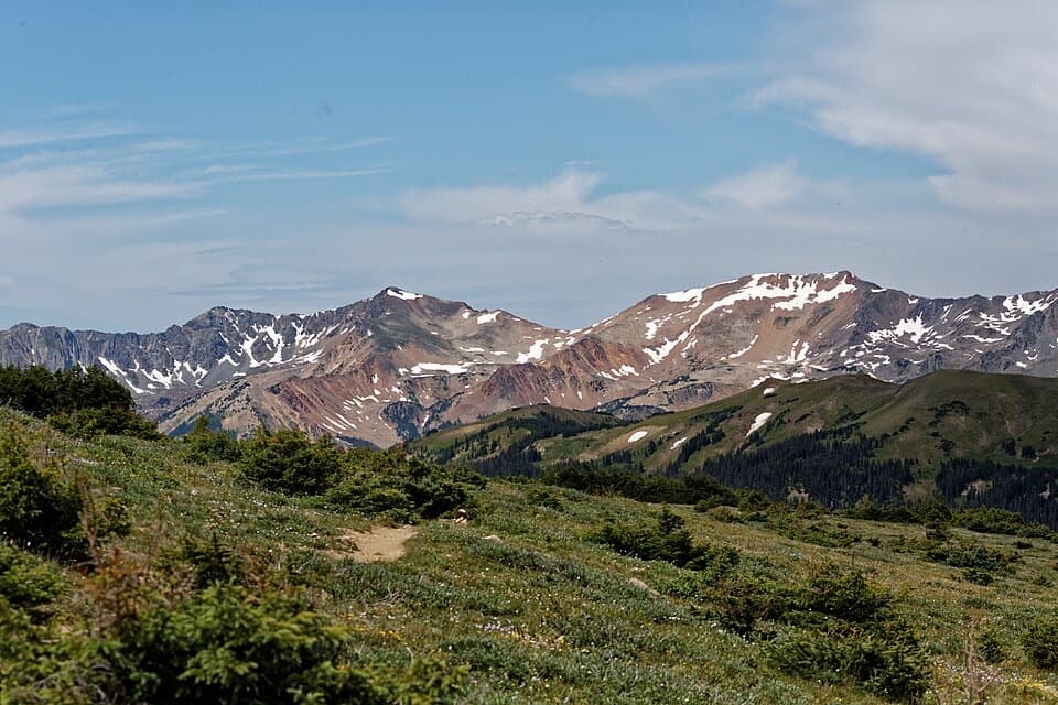 ModerateUte Trail West4 mi · 2.5 hr · 2.3 mi awayA high tundra traverse ending at the Continental Divide
 ModerateUte Trail East to Timberline Pass3.9 mi · 2 hr · 2.4 mi awayLong tundra views on a gentle trail to Timberline Pass.
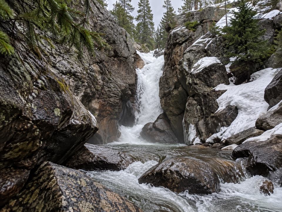 EasyChasm Falls Trail0.1 mi · 15 min · 3.2 mi awayForty rough steps lead to Fall River's narrow granite chute.
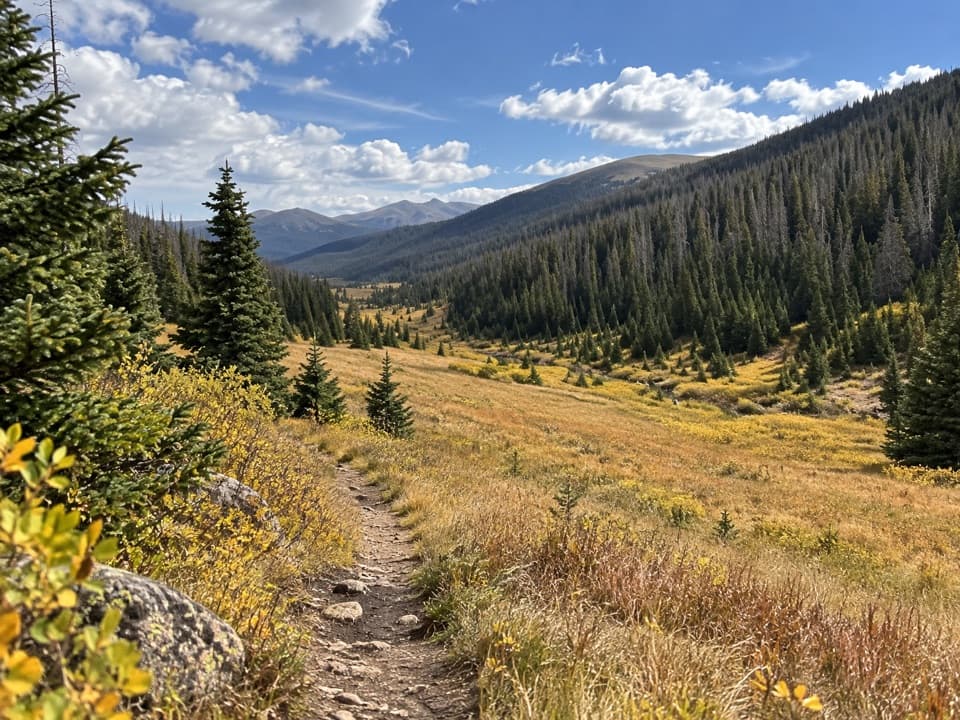 ModeratePoudre River Trail from Milner Pass6 mi · 3.5 hr · 3.9 mi awayA 6-mile headwaters out-and-back through high, wet meadows.
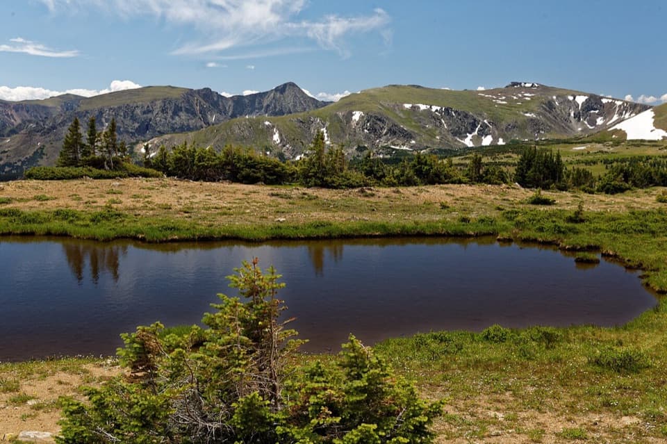 ModerateForest Canyon Pass Trail4.7 mi · 3.5 hr · 4.2 mi awayTundra ponds and canyon views reward this high-country climb.
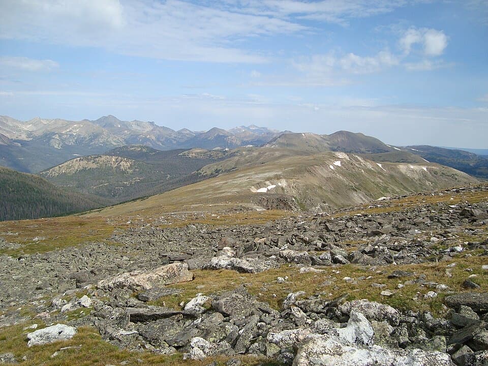 ChallengingMount Ida Trail9.6 mi · 6.5 hr · 4.2 mi awayA hard climb to a wide-open Continental Divide summit.
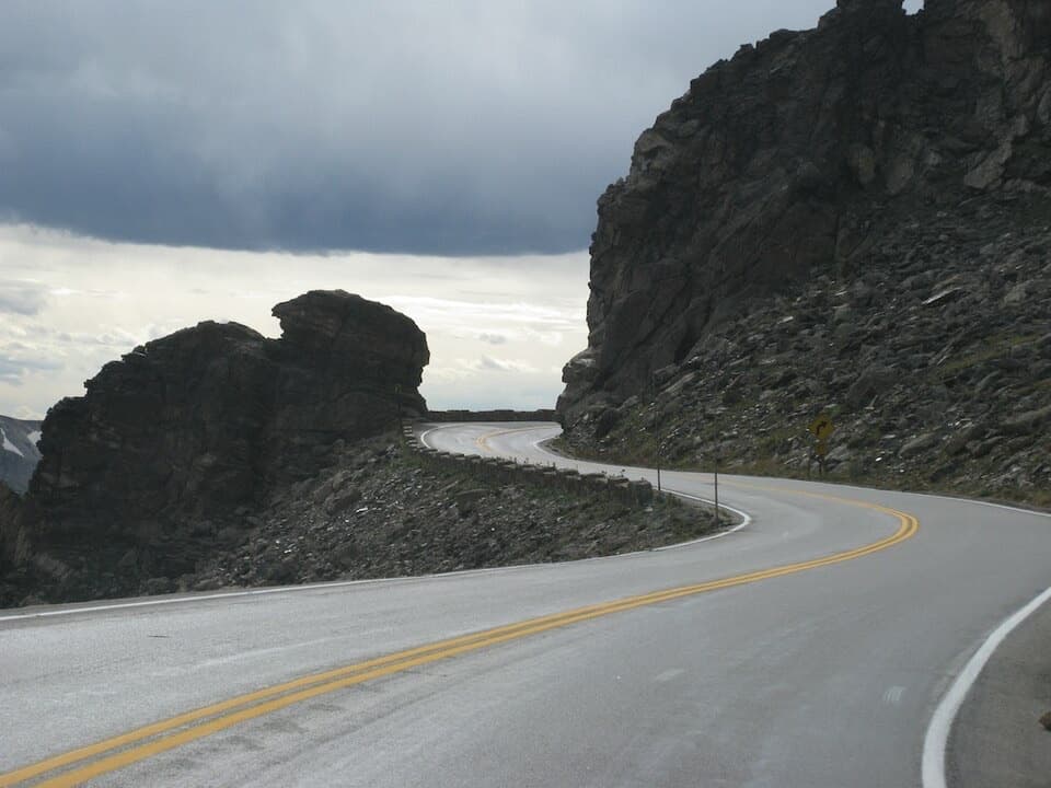 Sight · At the trailheadRock CutA road cut through the tundra, with pikas among the rocks.
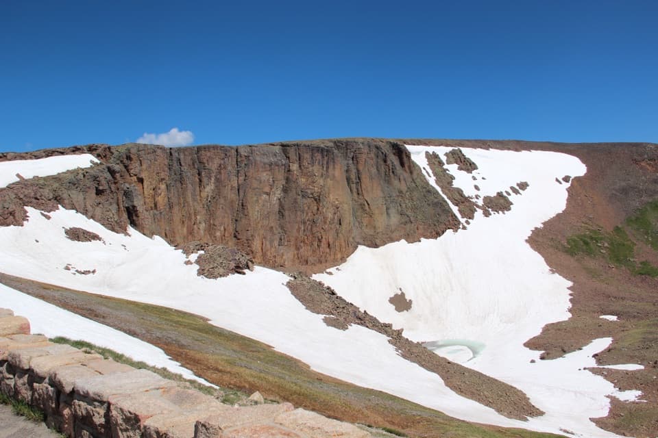 Sight · 1.4 mi awayLava Cliffs OverlookA rare lava exposure beside Trail Ridge Road.
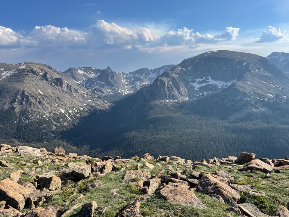 Sight · 1.5 mi awayForest Canyon OverlookFive minutes of walking reveals a canyon carved by ice.
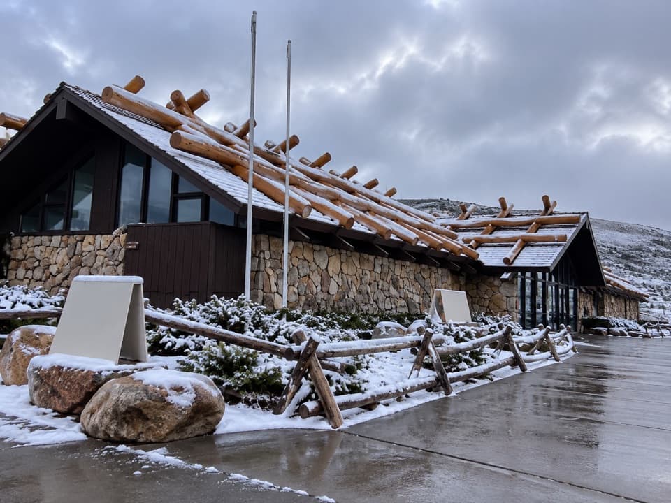 Visitor center · 2.3 mi awayAlpine Visitor CenterThe National Park System's highest visitor center, above the treeline.
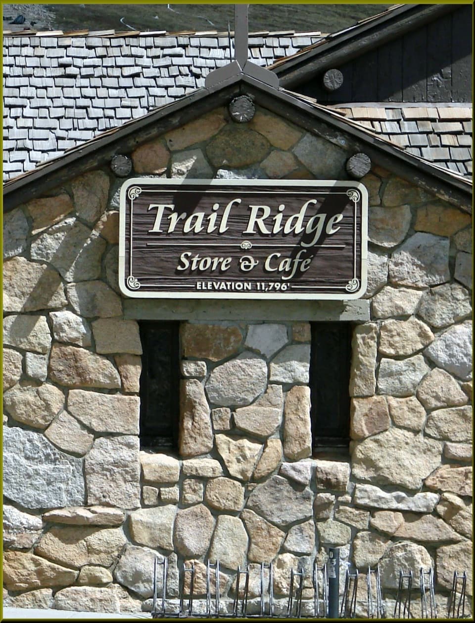 Food · 2.3 mi awayTrail Ridge Store & CaféA stone café and gift shop at Trail Ridge Road's high pass.
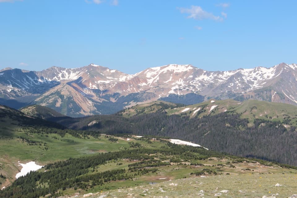 Sight · 2.3 mi awayGore Range OverlookCatch the Never Summer skyline without adding a hike.
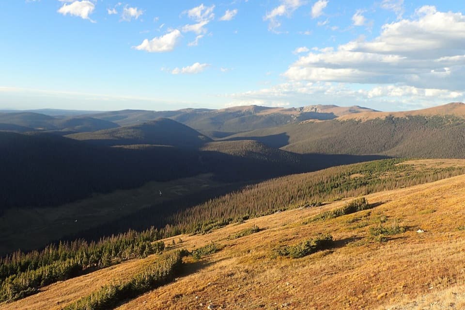 Sight · 2.7 mi awayMedicine Bow CurveFollow the Cache la Poudre valley toward Wyoming’s mountains.
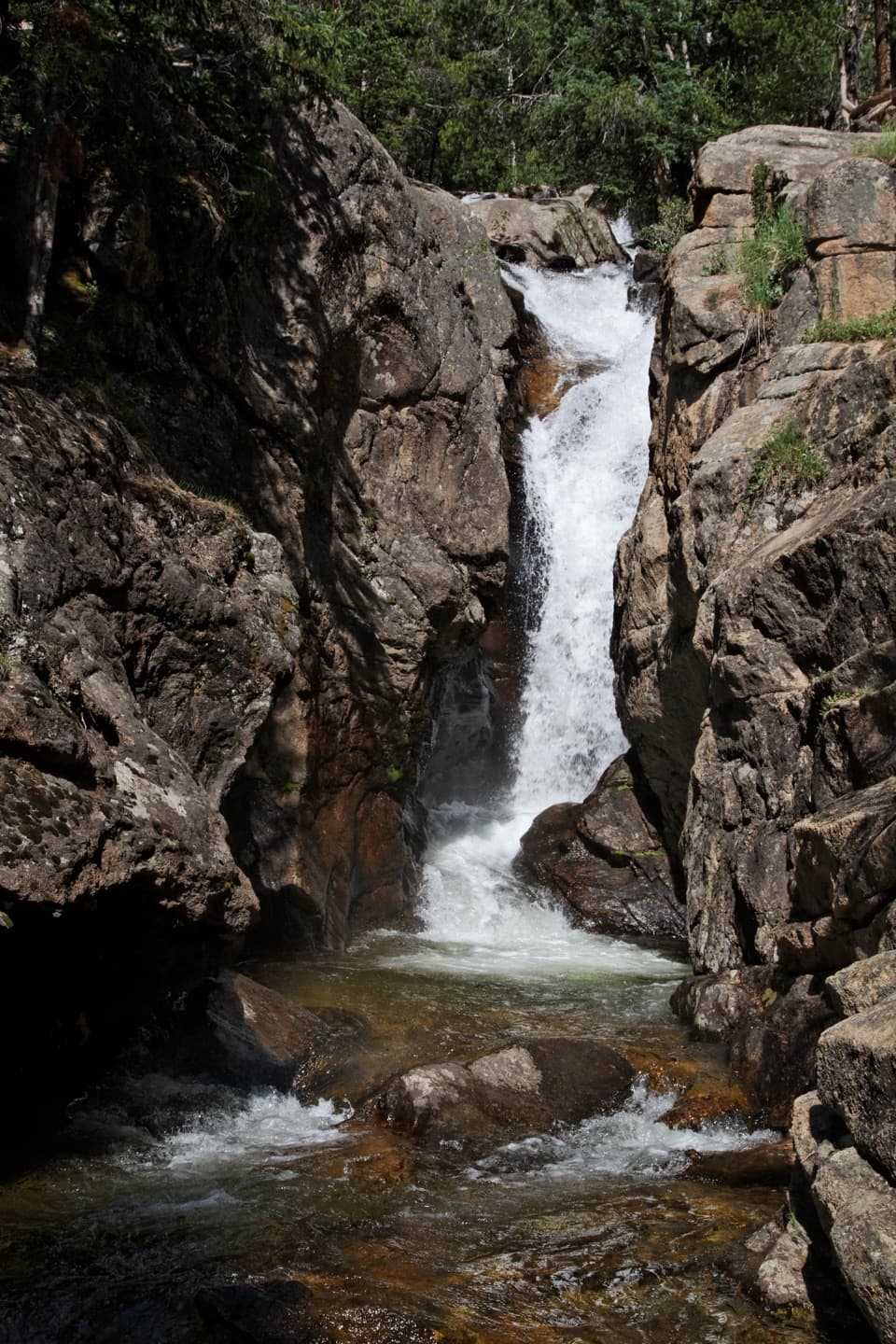 Sight · 3.2 mi awayChasm FallsA short walk to a waterfall tucked into a granite cleft.
Parkwolf’s Rocky Mountain ranking

The audio tour guide for the drive, plus offline maps, trails, and wildlife heatmaps for when the signal drops.