Pros & cons
PROS
- Short, paved walk with interpretive tundra exhibits
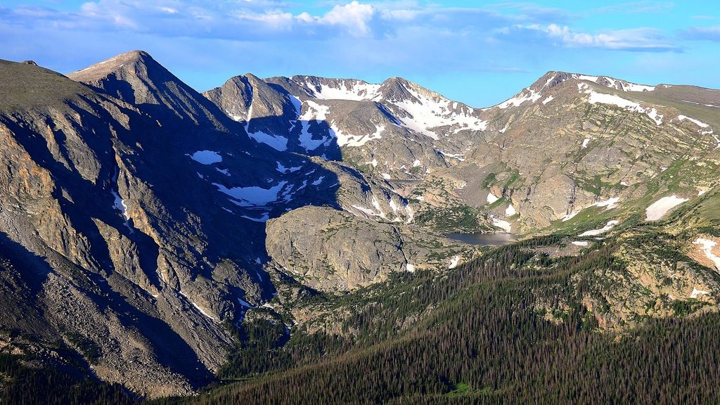
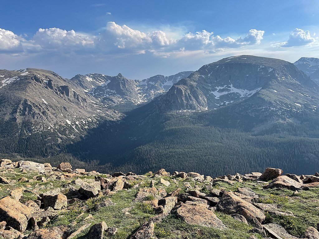
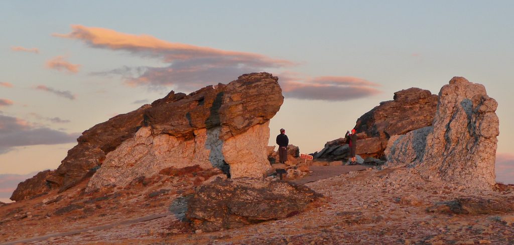
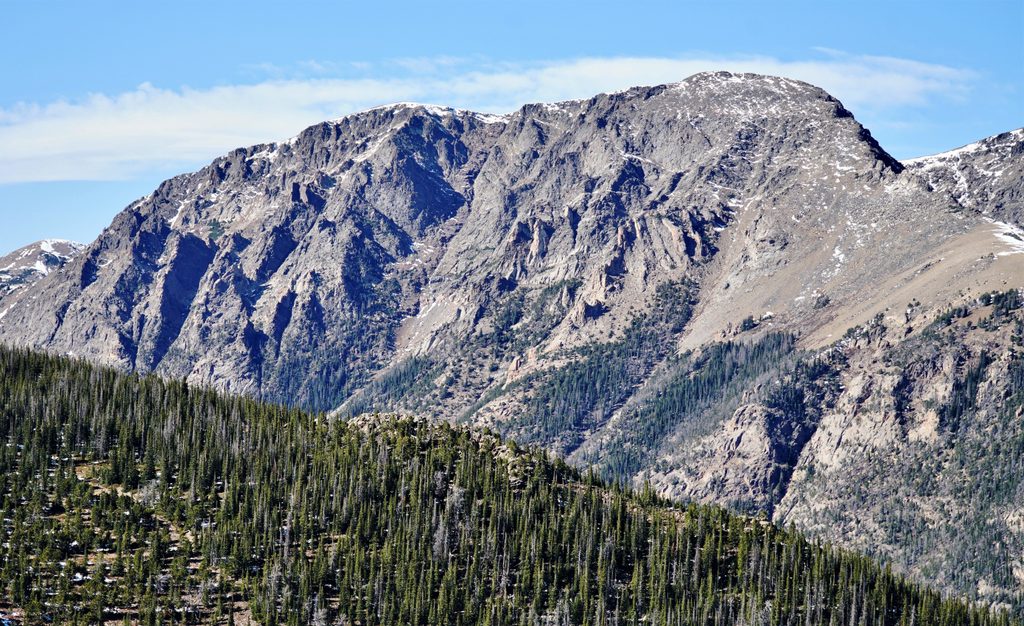
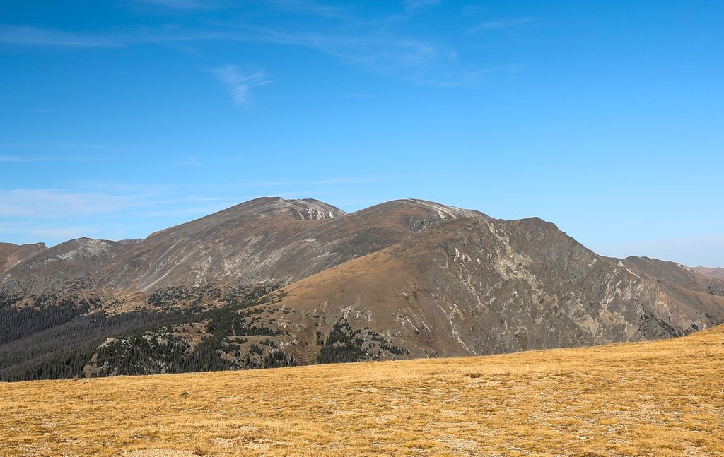
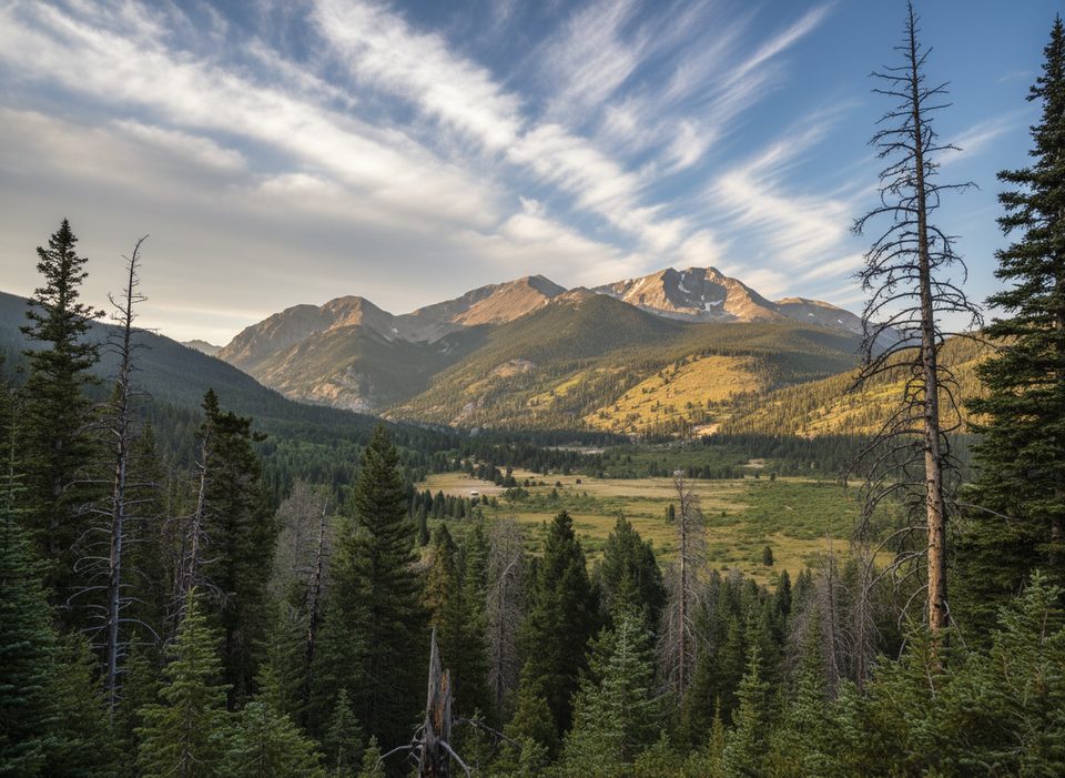
- Big alpine views and photogenic rock formations
- Parking and seasonal restrooms at Rock Cut
CONS
- Very exposed to wind, sun, and fast-changing weather
- High elevation makes the grade feel tougher
- Seasonal access tied to Trail Ridge Road
Overview
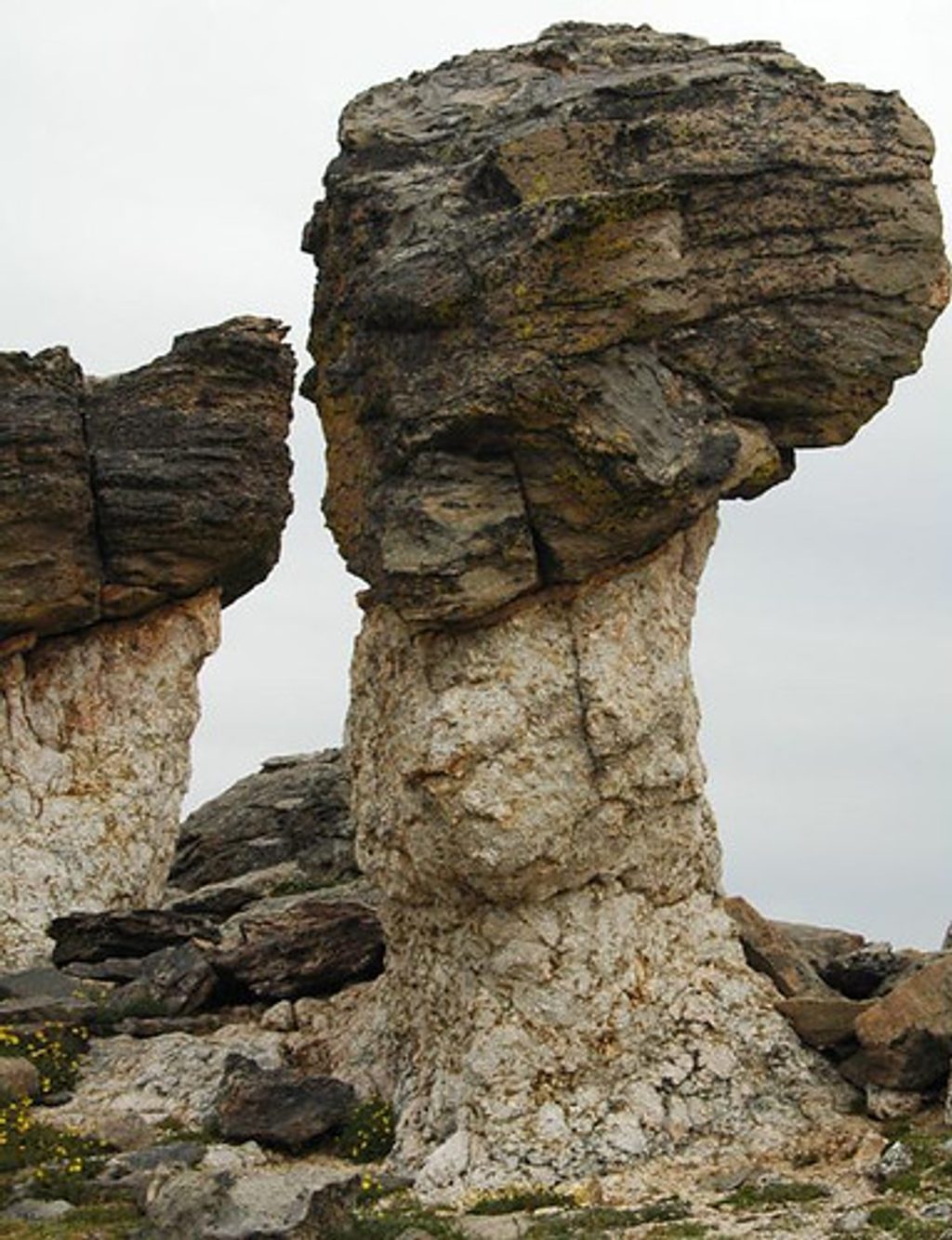
Mushroom Rocks is a quick, high-alpine detour off the paved Tundra Communities Trail on Trail Ridge Road. It’s a signed spur to whimsical, pedestal-like rock formations set in fragile tundra, with sweeping views in nearly every direction. The main path is paved, narrow, and includes stairs and exhibits that explain the tundra ecosystem.
Getting There & The Walk
Start from the Rock Cut parking area on Trail Ridge Road and follow the Tundra Communities Trail. It’s about 1.2 miles round trip with roughly 176 feet of total gain, topping out around 12,286 feet. The short side path to Mushroom Rocks is well marked; many visitors treat the rocks as their turnaround point if they’re keeping the day light.
What Makes It Special
The formations themselves are classic “mushroom” shapes sculpted by freeze–thaw cycles, wind abrasion, exfoliation, and past glacial work. Here you’re looking at ancient gneiss and Silver Plume granite that have been uplifted and weathered into odd, photo-friendly forms. In summer, you may catch wildflowers and, if you’re lucky, marmots sunning themselves among the boulders—give wildlife plenty of space.
Conditions to Expect
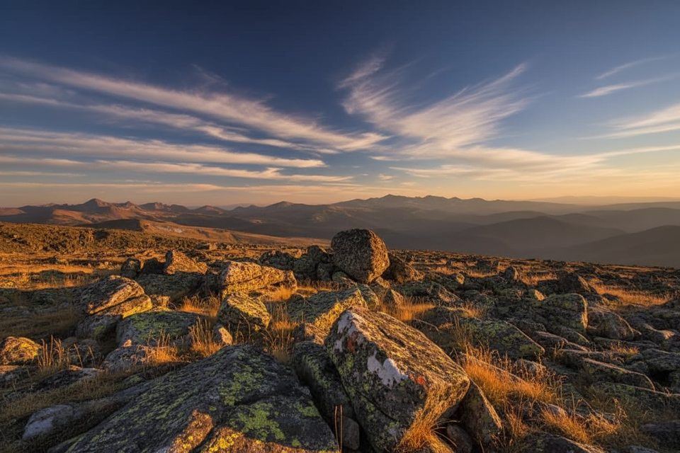
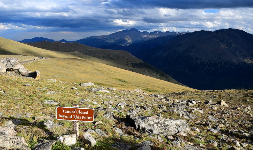
This is true alpine terrain: thin air, strong sun, and frequent wind. Even on warm days in town, it can be chilly and blustery up here, and summer afternoons often see quick-moving showers or thunderstorms. The elevation is the real workout; take it slow, hydrate, and listen to your body. Tundra plants are extremely sensitive—stay on the paved path and signed spurs.
Amenities
Rock Cut serves as the trailhead for the paved walk, with parking and restrooms when the road is open for the season. Facilities and access are seasonal and weather dependent.
Best Time to Visit
- Early morning is the sweet spot: lighter crowds, gentler temps, and softer light.
- Late afternoon can be gorgeous too, but watch the forecast—afternoon storms are common in summer.
- Weekdays are typically calmer than peak weekend hours when Trail Ridge Road is fully open.
Quick Verdict
If you’re already driving Trail Ridge Road, this is a low-effort, high-reward stop. The combo of geology lessons, tundra scenery, and big views makes it an easy yes—just pack layers and respect the tundra.
Tundra Etiquette & Safety
- Stay on pavement; off-trail footsteps can scar plants for centuries.
- Give marmots and other wildlife space.
- Lightning is a real risk on exposed ridges—skip umbrellas and leave if storms build.
- Check road status before you go; conditions can change quickly.
Where it is
40.4133, -105.7270Tips for Mushroom Rocks
- 01Arrive early for calmer winds, easier parking, and better light.
- 02Bring layers, water, sun protection, and be ready for sudden weather shifts.
- 03Stay on the paved path and signed spur to protect the fragile tundra.
- 04Skip umbrellas; thunderstorms and lightning are common on exposed ridges.
- 05Confirm Trail Ridge Road status the morning of your visit.
Amenities
Near Mushroom Rocks
All places →All trails →
0.2 mi awayToll Memorial OverlookA short alpine walk to 12,000‑foot views and wind‑sculpted rocksParking · Restroom
0.3 mi awayRock Cut OverlookHigh-alpine stop for tundra views, pika chatter, and an easy paved strollTrailhead · Pullout
0.3 mi awayTundra Communities TrailShort, high-alpine stroll to mushroom rocks and 360-degree viewsEasy · 1.1 mi · 42 min
1.4 mi awayForest Canyon OverlookHigh-alpine overlook for sweeping glacial valleys and marmot watchingParking · Scenic Viewpoint
1.5 mi awayMount ChapinShort high elevation climb to big tundra views without all day effortChallenging · 4 mi · 2.7 hr
1.5 mi awayMount ChiquitaShort, stout 13er with big tundra views and real alpine weather.Challenging · 5.1 mi · 3.6 hr
1.5 mi awayChapin–Chiquita–Ypsilon (CCY)Triple-summit ridge walk with big tundra views and real weather.Challenging · 8.4 mi · 7.5 hr
1.5 mi awayChapin PassTiny alpine trailhead with big tundra views and quick summit accessTrailhead · Pullout