
Place · 0.2 mi away
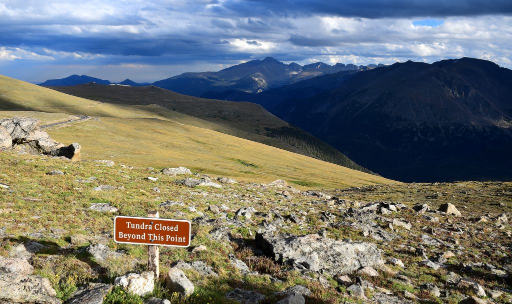
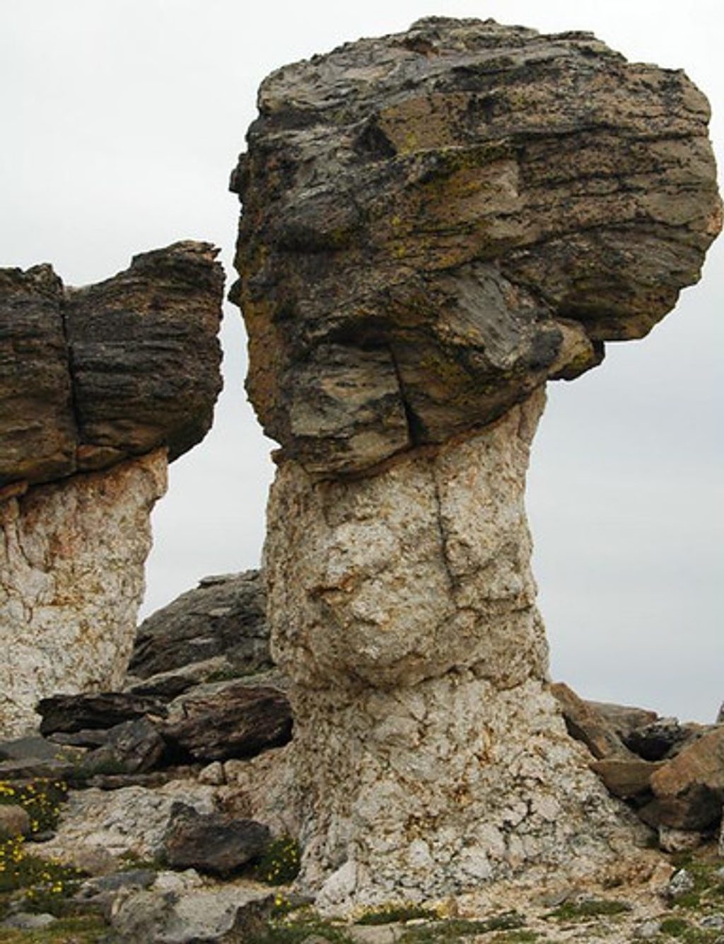
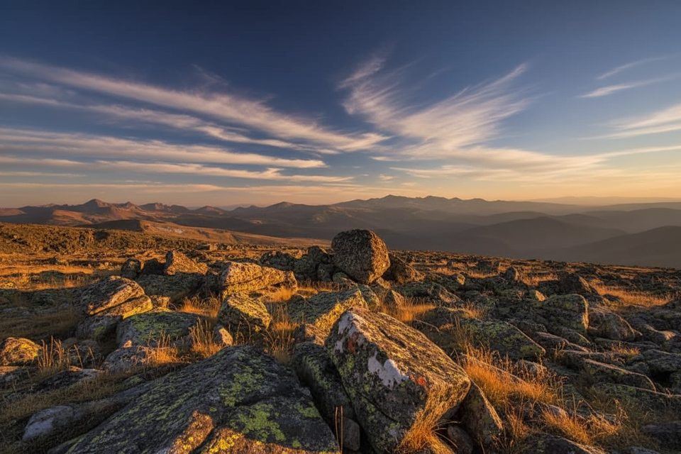
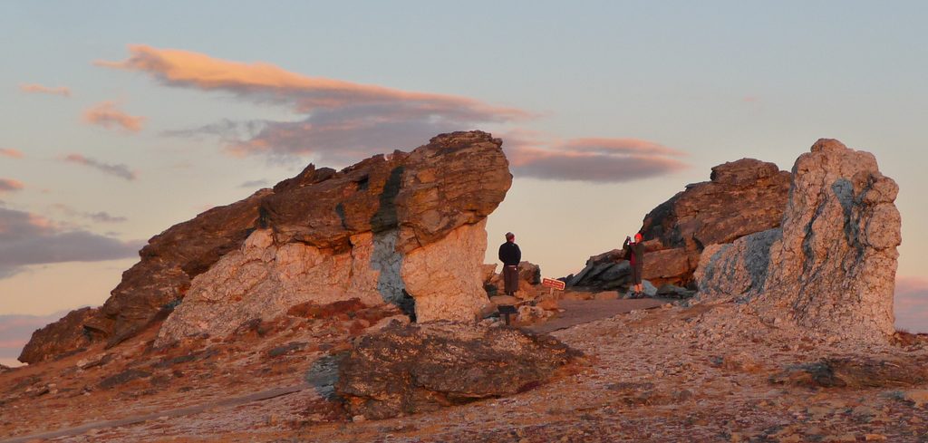
This overlook is the high‑reward finale of the Tundra Communities Trail from the Rock Cut parking area on Trail Ridge Road. It’s a quick alpine outing—about 1.1–1.2 miles round‑trip with roughly 150–176 feet of gain—but you’re fully above treeline the whole way, topping out around 12,200–12,280 feet. Expect huge, 360‑degree views across the Continental Divide, a stone memorial, and the park’s famous wind‑carved “Mushroom Rocks.”
The path is paved but exposed, with a few stairs, occasional potholes, and sustained 8–12% grades. It’s almost always breezy up here, often downright windy—bring a warm layer even in July. Move slower than you think; the thin air is real at 12,000 feet. Stay on pavement and rock pads to protect the fragile tundra.
Start at Rock Cut along Trail Ridge Road; the trail begins on the same side as the parking. Seasonal vault toilets and interpretive signs are at/near the start, and the Alpine Visitor Center farther along Trail Ridge Road can serve as a backup stop when open. Parking turnover is decent but this is a popular stop—earlier is easier.
Weather changes fast at this elevation. Afternoon thunderstorms are common and lightning is no joke—watch the sky and head down early if clouds build. Hydrate, snack, and if you feel altitude symptoms, descend. Pets aren’t allowed on park trails.
June–September, when Trail Ridge Road is typically open. Go early morning for calmer winds, soft light, and easier parking. Midday brings harsher light and a higher chance of thunderstorms. From late May to mid‑October, timed‑entry permits are required during certain hours—plan ahead.
Morning light flatters the rock textures and distant peaks, and the constantly changing cloudscape can be spectacular. A mid‑telephoto lens helps compress distant ranges, while a wide‑angle frames the Mushroom Rocks and endless sky.
Place · 0.2 mi away
Place · 0.4 mi away
Place · 1.4 mi away
Place · 1.5 mi away
Easy · 0.5 mi away
Challenging · 1.5 mi away
Challenging · 1.5 mi away
Challenging · 1.5 mi away

Parkwolf Tour Guide
