Parking
Start at the Storm Pass trailhead at the south end of Lily Lake’s small lot. A larger dirt lot is across US 7; cross carefully to reach the trail. Two single-user vault toilets are at the access area. No drinking water was found.

Rocky Mountain National Park, CO
A forested approach ends in a rocky high-altitude summit scramble.
Overview
Estes Cone via Lily Lake is a 7.5-mile out-and-back from the south end of the Lily Lake parking area to a rocky summit above the valley. The route climbs about 2,275 feet, from roughly 8,930 feet to 11,006 feet; allow about five to six hours. Most of the approach is a steady forest climb. The last 0.6–0.7 mile is much steeper, rockier and harder to follow, ending in a short scramble. Choose it for the summit and its wide mountain views, not for an easy extension of the Lily Lake stroll.
 Parkwolf’s verdictIs this the hike for you?
Map & elevation
Plan your hike

The highest, rockiest slopes around here are a summer buffet for grizzly bears.
Rocky Mountain Tour Guide
Parkwolf is a GPS audio tour guide for Rocky Mountain National Park. As you drive, it chimes in with what’s ahead: hidden gems, upcoming stops, history, geology, and wildlife, right through your car’s speakers.
See the Rocky Mountain audio tourRecorded for this trailhead
Lily Lake: A Gentle Loop Below the Peaks“You're nearing Lily Lake, a good stop if you want a gentle walk with big mountain views.”
Plays as you drive up to this trailhead in the Parkwolf Rocky Mountain Tour Guide.
More stories near here in the app
“…No cell service for majority of the day but had continuous access to the app - the maps, the tour guide as you drive is amazing. Highly recommend purchasing the subscription.”


Trail guide
At the south end of the lot, follow the old park road and the Storm Pass signs. Around 0.15–0.2 mile in, a path branches toward Lily Lake’s lakeshore and picnic area; stay on the Storm Pass route. The approach crosses Aspen Brook on a footbridge, then traverses a hillside where rocky openings give an early view toward Lily Mountain and the valley. Farther on, the route is mostly forested as it climbs gradually toward Storm Pass.
At roughly 3.1 miles from the lot, turn right at the Estes Cone Trail junction. Storm Pass continues toward Bear Lake Road, while the Eugenia Mine Trail joins from the other direction; neither is part of this Lily Lake out-and-back. Return to the lot the same way. The higher 8.1- and 8.4-mile descriptions include a Lily Ridge or lakeshore loop. The 7.5-mile figure here is the direct Storm Pass route, without that extra circuit.
The Estes Cone branch is shorter but much steeper than the Storm Pass approach. The tread turns rocky and becomes faint in places; cairns and boot paths help pick out the line. Near the ridge, expect a rocky gully and a Class 2 scramble to reach the summit rocks. This is the section that changes the hike from a long walk into a demanding mountain outing. If you are uncomfortable with bouldery, sometimes exposed footing, turn around before committing to the summit moves.
The summit is a small, irregular perch among broken granite blocks, not a broad flat lookout. Views open across Lily Lake and Lily Mountain to the Twin Sisters, Mount Meeker and Longs Peak; the Continental Divide and Mummy Range fill other parts of the horizon. A photo with the rough summit rocks in the foreground gives the view a useful sense of scale. The route’s early openings toward Lily Mountain are a smaller preview of the panorama above.
Estes Cone is not a volcanic remnant. Its isolated, cone-like profile reflects natural erosion and its separation from neighboring mountains. That shape is easiest to appreciate from the approach and from nearby peaks; at the top, the broken blocks underfoot make the summit itself feel more rugged than its name suggests.
Use the small Lily Lake lot beside the trail or the larger dirt lot across US 7. The access area has two single-user vault toilets; drinking water was not found, and there is no food service on the route. The Lily Lake area also has picnic tables near the lakeshore, but they are separate from the climb. A Rocky Mountain National Park entrance fee or pass is required; timed-entry reservations can apply during summer peak hours, so check the park’s entry requirements before driving in. Pets are prohibited on all park trails.
At more than 11,000 feet, this is a strenuous outing even though the first miles climb gradually. The summit section is rocky and route-finding matters, and summer afternoon thunderstorms are a reason to avoid lingering on exposed high ground. Start with enough time to complete the descent before storms build; the return retraces the same climb and rough summit approach.
Wildlife
 3,124 sightingsElkMost seen around 6 PMSighting map
 1,601 sightingsMooseMost seen around 7 PMSighting map
 19 sightingsMountain GoatMost seen around 7 AMSighting map
 19 sightingsBald EagleMost seen around 8 AMSighting map
 30 sightingsGolden EagleMost seen around 10 AMSighting map
 270 sightingsBighorn SheepMost seen around 11 AMSighting map
Sighting maps show where each species has been reported across Rocky Mountain. Wildlife moves, so no sighting is guaranteed.
Keep exploring
 EasyWind River Pass Trail1.8 mi · 1.5 hr · At the trailheadA short, high-altitude path beyond Lily Lake.
 ModerateAspen Brook Trail4.7 mi · 3.5 hr · At the trailheadA rough brookside out-and-back from Lily Lake's shared trailhead.
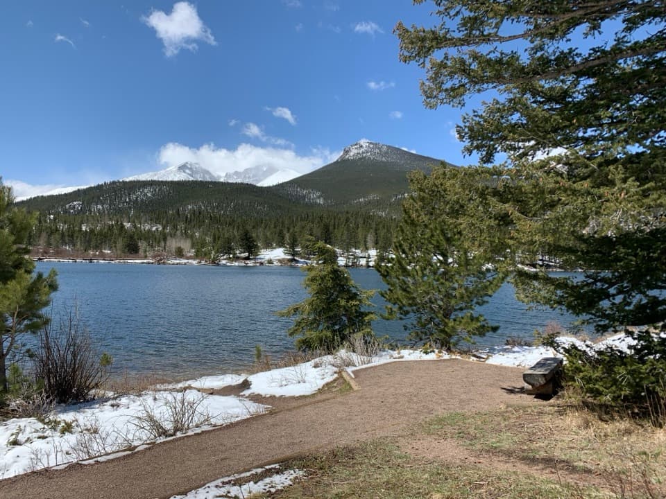 EasyLily Lake Nature Trail0.8 mi · 36 min · At the trailheadA gentle lake loop with Longs Peak on the horizon.
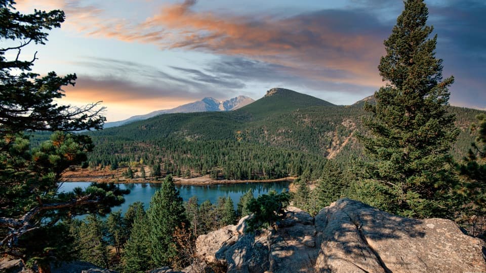 EasyLily Ridge Trail1.2 mi · 48 min · At the trailheadA brief climb gives Lily Lake a whole new point of view.
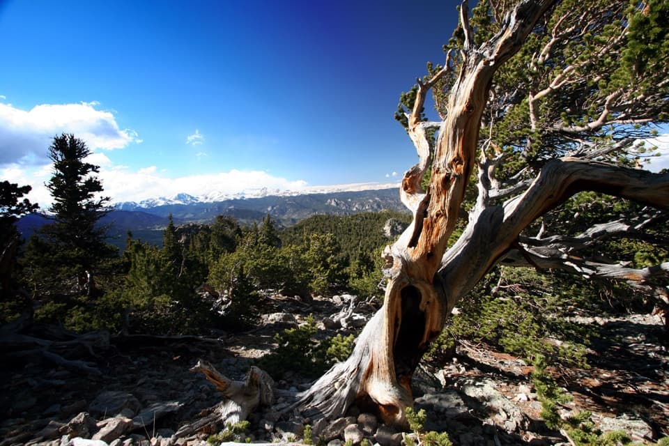 ChallengingTwin Sisters Trail7.4 mi · 4.5 hr · 0.1 mi awayA steep climb with a summit view that earns every step.
 ChallengingEstes Cone Trail from Longs Peak Trailhead6.2 mi · 5 hr · 2.6 mi awayMine ruins and a rocky summit make the long climb pay off.
 ModerateEugenia Mine Trail2.8 mi · 1.5 hr · 2.6 mi awayA short forest hike to an old boiler beside Inn Brook.
 ChallengingChasm Lake Trail8.4 mi · 7 hr · 2.6 mi awayScramble above the falls to a lake beneath Longs Peak's Diamond.
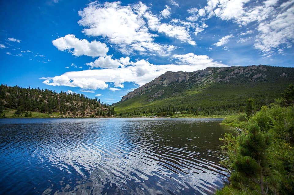 Sight · 0.2 mi awayLily LakeA mostly level lake loop with Longs Peak across the water.
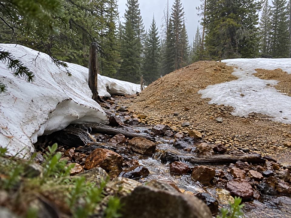 Sight · 2.4 mi awayEugenia MineA creekside boiler, mine tailings and a family story
 Campground · 2.4 mi awayLongs Peak CampgroundA simple tent camp for an early Longs Peak start.
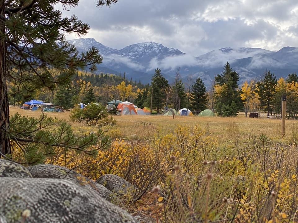 Campground · 3.4 mi awayGlacier Basin CampgroundA handy base for Bear Lake corridor starts.
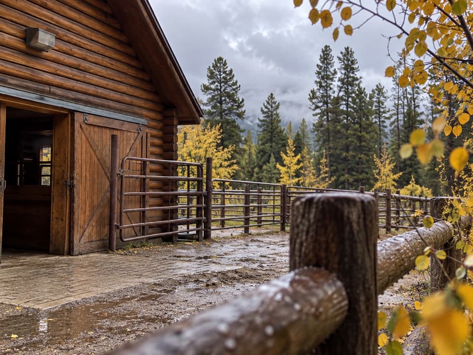 Sight · 3.7 mi awayGlacier Creek StablesThe park's lone stable pairs guided rides with mountain scenery.
 Picnic area · 3.7 mi awayTuxedo Park Picnic AreaA quiet creekside picnic, reached by steps from the road.
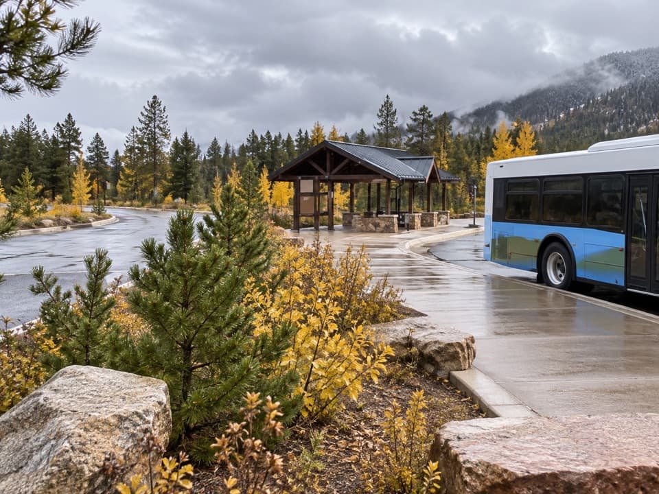 Sight · 3.7 mi awayPark & Ride Transit HubPark once for free shuttles to Bear Lake Road stops.
 Sight · 3.8 mi awaySprague LakeA gentle lake loop for Divide views and possible moose sightings.
Parkwolf’s Rocky Mountain ranking
The audio tour guide for the drive, plus offline maps, trails, and wildlife heatmaps for when the signal drops.




