Parking
From CO-7, take the Longs Peak Ranger Station turnoff and continue about a mile to the Longs Peak Trailhead lot. Parking in the lot and along the road is limited and can fill early on peak-season weekends.

Rocky Mountain National Park, CO
A short forest hike to an old boiler beside Inn Brook.
Overview
Map & elevation
Plan your hike

The highest, rockiest slopes around here are a summer buffet for grizzly bears.
Rocky Mountain Tour Guide
Parkwolf is a GPS audio tour guide for Rocky Mountain National Park. As you drive, it chimes in with what’s ahead: hidden gems, upcoming stops, history, geology, and wildlife, right through your car’s speakers.
See the Rocky Mountain audio tourRecorded for this trailhead
Longs Peak Trailhead: Lake or Summit“You're approaching Longs Peak Trailhead, the start of some serious mountain outings. Chasm Lake is my pick if you want the view straight up Longs Peak's sheer east face, the Diamond, without attempting the summit.”
Plays as you drive up to this trailhead in the Parkwolf Rocky Mountain Tour Guide.
More stories near here in the app
“…No cell service for majority of the day but had continuous access to the app - the maps, the tour guide as you drive is amazing. Highly recommend purchasing the subscription.”


Trail guide
Eugenia Mine Trail is a 2.8-mile out-and-back from Longs Peak Trailhead to a historic mine site beside Inn Brook. The destination is the reward: a creekside boiler and homestead remains, not a summit panorama. Allow about 1 to 1.5 hours and roughly 500 feet of climbing. It is a short, moderately steep walk: most of the climb comes in the first half-mile, and the trail starts above 9,000 feet. The Longs Peak lot is limited and can fill early on peak-season weekends. Pets are prohibited on all Rocky Mountain National Park trails.
Follow East Longs Peak Trail through lodgepole pine, spruce and fir. After about half a mile, turn right at the signed Eugenia Mine junction; you will already have climbed roughly 275 feet. The grade eases on the traverse across Battle Mountain's wooded slope. Estes Cone appears through the trees now and then, but this is mainly a forest walk.
The mine site is about 1.4 miles from the trailhead. The crossing is described as either a footbridge or a shallow brook negotiated on logs, so expect wet or uneven footing and assess it when you arrive. Near the creek are remains of a log homestead, a ten-foot steam boiler and mine tailings upstream. The mine shaft has been sealed; stay outside the workings. The named trail continues beyond the mine, but this outing turns around at the site.
Accounts differ on when the mine operated, so the exact dates are unsettled. What remains is easier to recognize: the boiler stands beside the creek and the homestead remains sit nearby. A cleanup study found that removing the tailings risked sending more sediment into Inn Brook, so they were left in place. For a photo, frame the boiler with the creek and the old homestead remains.
Wildlife
 3,124 sightingsElkMost seen around 6 PMSighting map
 1,601 sightingsMooseMost seen around 7 PMSighting map
 19 sightingsMountain GoatMost seen around 7 AMSighting map
 19 sightingsBald EagleMost seen around 8 AMSighting map
 30 sightingsGolden EagleMost seen around 10 AMSighting map
 270 sightingsBighorn SheepMost seen around 11 AMSighting map
Sighting maps show where each species has been reported across Rocky Mountain. Wildlife moves, so no sighting is guaranteed.
Keep exploring
 ChallengingChasm Lake Trail8.4 mi · 7 hr · At the trailheadScramble above the falls to a lake beneath Longs Peak's Diamond.
 ChallengingLongs Peak Trail to the Boulderfield11.6 mi · 10 hr · At the trailheadA strenuous high-alpine hike ends at Longs Peak’s boulder basin.
 ChallengingEstes Cone Trail from Longs Peak Trailhead6.2 mi · 5 hr · At the trailheadMine ruins and a rocky summit make the long climb pay off.
 ChallengingEstes Cone via Lily Lake7.5 mi · 5.5 hr · 2.6 mi awayA forested approach ends in a rocky high-altitude summit scramble.
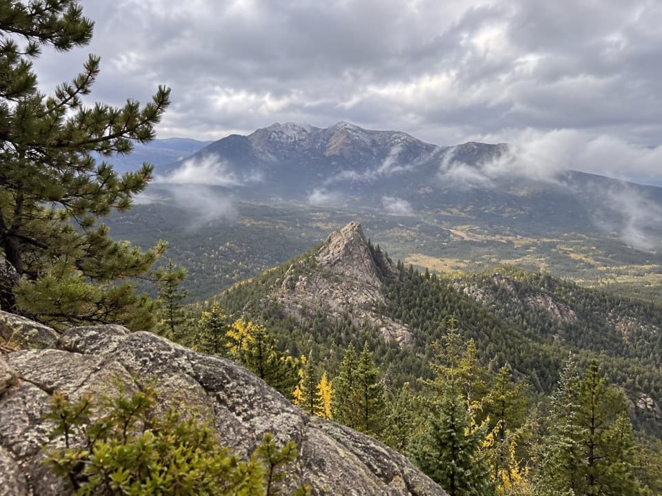 ChallengingLookout Mountain Trail4.7 mi · 4 hr · 2.6 mi awayA steep forest climb ends at a class 3 summit block.
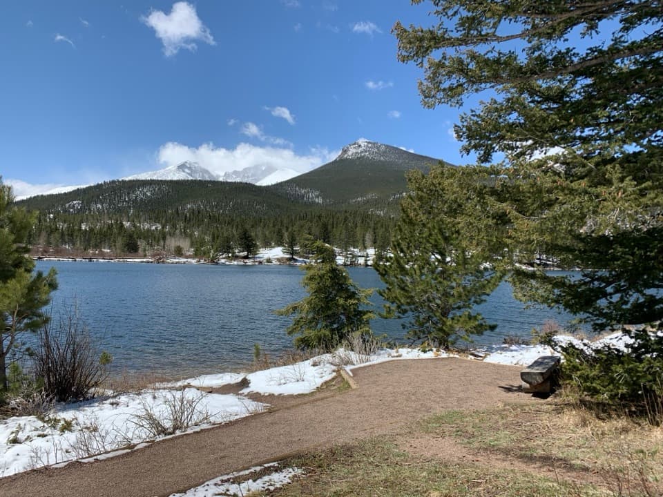 EasyLily Lake Nature Trail0.8 mi · 36 min · 2.6 mi awayA gentle lake loop with Longs Peak on the horizon.
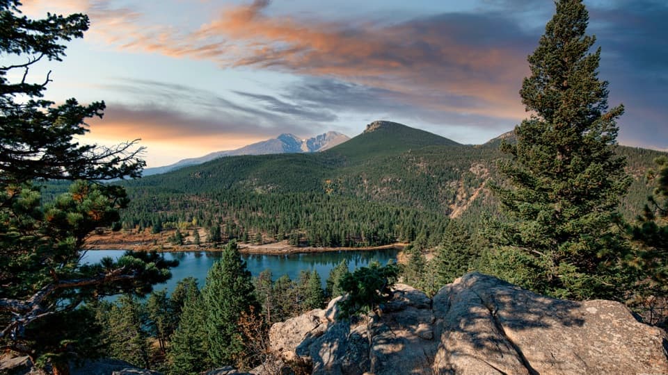 EasyLily Ridge Trail1.2 mi · 48 min · 2.6 mi awayA brief climb gives Lily Lake a whole new point of view.
 EasyWind River Pass Trail1.8 mi · 1.5 hr · 2.6 mi awayA short, high-altitude path beyond Lily Lake.
 Campground · 0.2 mi awayLongs Peak CampgroundA simple tent camp for an early Longs Peak start.
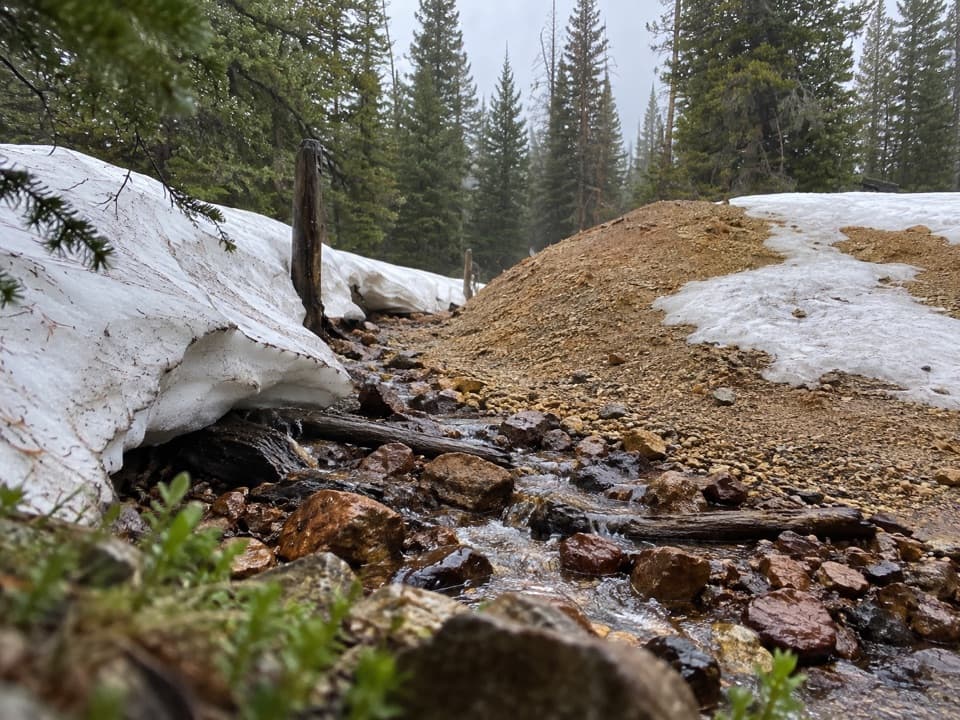 Sight · 1.2 mi awayEugenia MineA creekside boiler, mine tailings and a family story
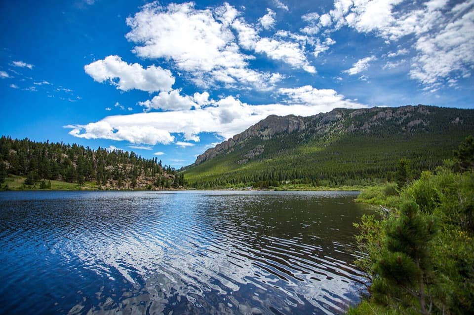 Sight · 2.6 mi awayLily LakeA mostly level lake loop with Longs Peak across the water.
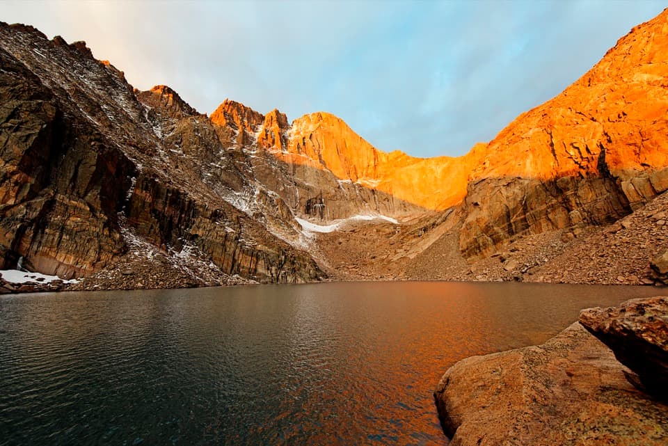 Sight · 2.7 mi awayChasm LakeA high alpine lake under Longs Peak, reached by a hard hike.
 Sight · 3.3 mi awayLongs PeakThe park’s 14,259-foot summit is a serious, exposed climb.
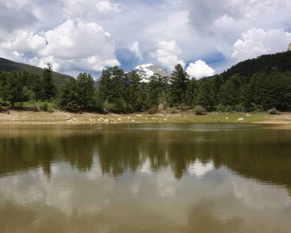 Picnic area · 3.8 mi awayCopeland Lake Picnic AreaA lakeside picnic stop beside the Sandbeach Lake trailhead
 Sight · 4.3 mi awaySprague LakeA gentle lake loop for Divide views and possible moose sightings.
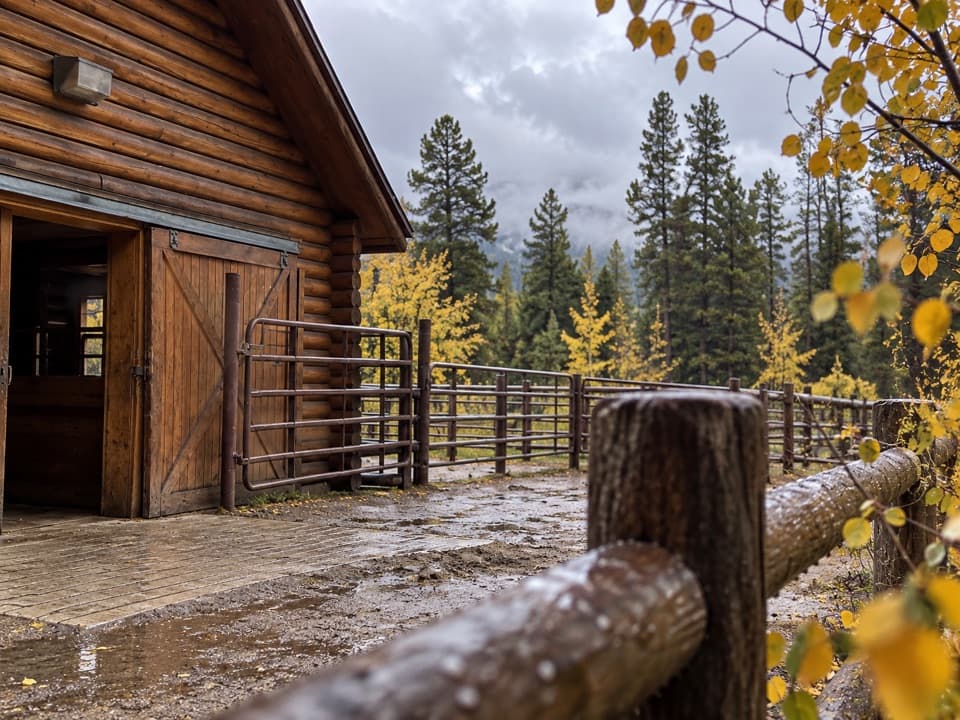 Sight · 4.3 mi awayGlacier Creek StablesThe park's lone stable pairs guided rides with mountain scenery.
Parkwolf’s Rocky Mountain ranking

The audio tour guide for the drive, plus offline maps, trails, and wildlife heatmaps for when the signal drops.




