Parking
Fern Lake Trailhead is at the end of Moraine Park Campground Road, beside a gravel lot. The seasonal Moraine Park shuttle route lists a Fern Lake stop; confirm its walking distance from the trailhead on the current park map.
Rocky Mountain National Park, CO
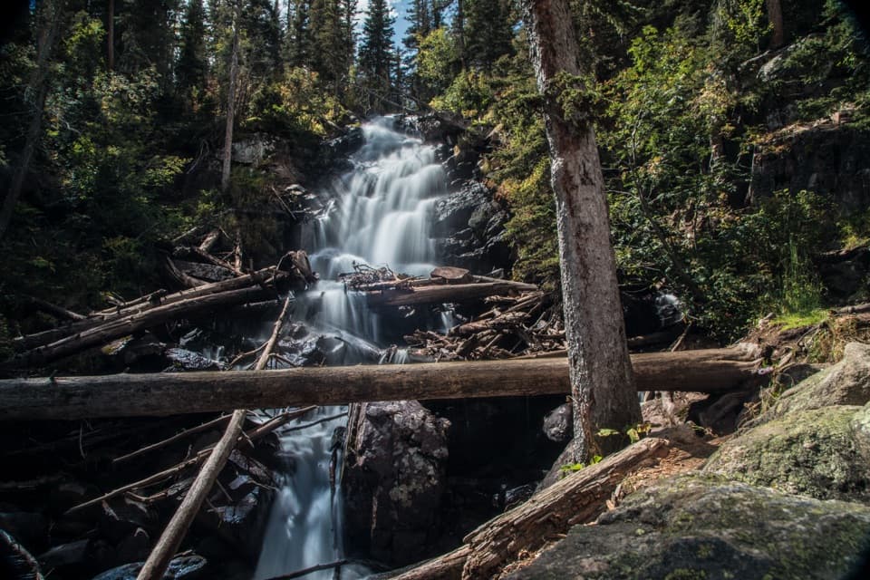
Arch Rocks and The Pool earn the long walk to Fern Falls.
Overview
Map & elevation
Plan your hike

The highest, rockiest slopes around here are a summer buffet for grizzly bears.
Rocky Mountain Tour Guide
Parkwolf is a GPS audio tour guide for Rocky Mountain National Park. As you drive, it chimes in with what’s ahead: hidden gems, upcoming stops, history, geology, and wildlife, right through your car’s speakers.
See the Rocky Mountain audio tourRecorded for this trailhead
Fern Lake Trailhead: Turn Around at The Pool“You're nearing Fern Lake Trailhead, where The Pool makes a good shorter turnaround.”
Plays as you drive up to this trailhead in the Parkwolf Rocky Mountain Tour Guide.
More stories near here in the app
“…No cell service for majority of the day but had continuous access to the app - the maps, the tour guide as you drive is amazing. Highly recommend purchasing the subscription.”


Trail guide
Fern Falls Trail runs from Fern Lake Trailhead to a multi-tier waterfall on Fern Creek. The round trip is about 5.1 miles, with roughly 700 feet of climbing; allow around three hours. The first 1.7 miles follow the Big Thompson River to The Pool, then the route leaves the river and climbs more steeply beside Fern Creek. Choose this if you want a longer waterfall hike with a few good stops before the falls. The Pool makes a solid shorter turnaround if you want to skip the final climb.
The path follows the Big Thompson through mixed forest, with occasional openings across the valley. About 1.2 miles in, look for Arch Rocks, a pair of house-sized boulders beside the trail. At about 1.7 miles, The Pool marks the meeting of Fern Creek and the Big Thompson, where the water runs fast around rock and timber.
Past The Pool, the route turns uphill beside Fern Creek. The last stretch is the steepest part, gaining close to 400 feet over about 0.7 mile. Fern Falls appears at a switchback: a forested, multi-tier cascade with water continuing down through the trees. Keep the fallen logs in the bottom of your photo; they show how the water stacks over several drops.
The Fern Lake Trail grew out of early park tourism; its first complete route was established by 1906. Civilian Conservation Corps crews later built trail walls that are still part of the corridor. The former Forest Inn stood near The Pool. It opened in 1917 and was removed after the park acquired it in 1952. The trail was listed on the National Register of Historic Places in 2005.
Parts of the route were changed by the 2012 Fern Lake Fire and the 2020 East Troublesome Fire. Burned slopes remain visible along sections of the approach, alongside forest that is growing back. If you expect an unbroken green forest walk, this isn't that; the river and waterfall are the stronger reasons to come.
Fern Lake Trailhead is at the end of Moraine Park Campground Road, beside a gravel lot. The seasonal Moraine Park shuttle route lists a Fern Lake stop, but published hike directions differ on how far it is from the trailhead; check the current stop map before relying on it. Dogs are prohibited on all park trails.
Wildlife
 3,124 sightingsElkMost seen around 6 PMSighting map
 1,601 sightingsMooseMost seen around 7 PMSighting map
 19 sightingsMountain GoatMost seen around 7 AMSighting map
 19 sightingsBald EagleMost seen around 8 AMSighting map
 30 sightingsGolden EagleMost seen around 10 AMSighting map
 270 sightingsBighorn SheepMost seen around 11 AMSighting map
Sighting maps show where each species has been reported across Rocky Mountain. Wildlife moves, so no sighting is guaranteed.
Keep exploring
 ChallengingGrace Falls Viewpoint Trail12 mi · 7.5 hr · At the trailheadA long high-country hike for a view of Grace Falls.
 ModerateCub Lake–The Pool Loop6.1 mi · 3.5 hr · At the trailheadPair a lily-covered lake with a creek-carved pool.
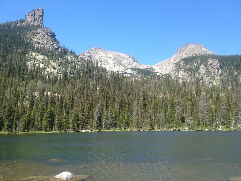 ChallengingLoomis Lake Trail10.3 mi · 6.5 hr · At the trailheadA 10.3-mile lake hike with an unmaintained final stretch.
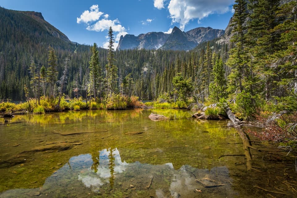 ModerateFern Lake Trail7.6 mi · 4.5 hr · At the trailheadA 7.6-mile return to Fern Lake passes The Pool and Fern Falls.
 EasyThe Pool Trail3.4 mi · 1.8 hr · At the trailheadA short river walk to a lively, boulder-lined confluence.ModerateSpruce Lake Trail9.4 mi · 6 hr · At the trailheadFern Falls and a mountain lake reward the rough last climb.
 ModerateOdessa Lake via Fern Lake Trail9.8 mi · 6 hr · At the trailheadTwo alpine lakes, a cascade and a serious climb from Fern Lake.
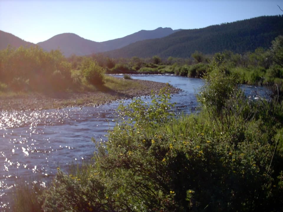 ModerateCub Lake Trail4.6 mi · 3.5 hr · 0.8 mi awayA meadow crossing and aspen climb lead to a lily-pad lake.
 Sight · 0.9 mi awayCub LakeA lily-covered lake at the end of a varied Moraine Park hike.
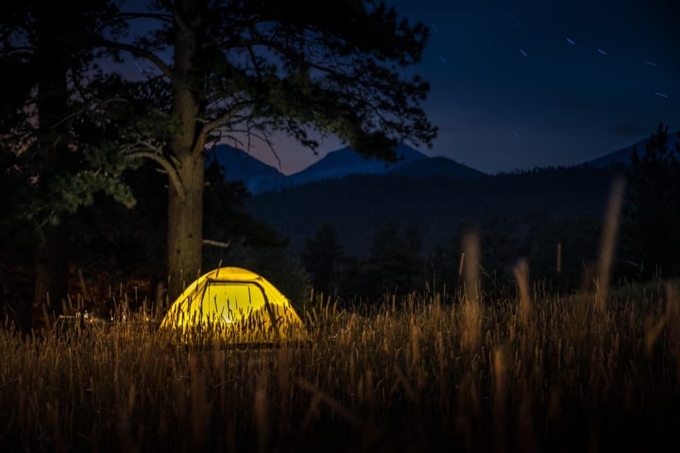 Campground · 1.4 mi awayMoraine Park CampgroundElk bugles sometimes carry across camp on autumn nights.
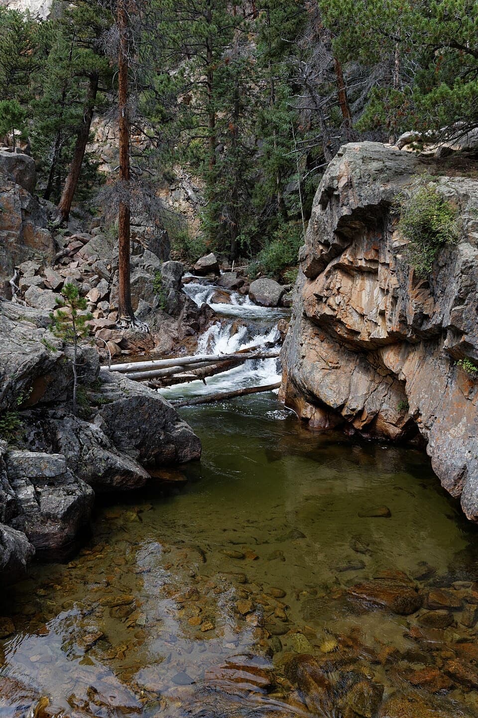 Sight · 1.5 mi awayThe PoolA lively river pool makes a good shorter Fern Lake Trail turnaround.
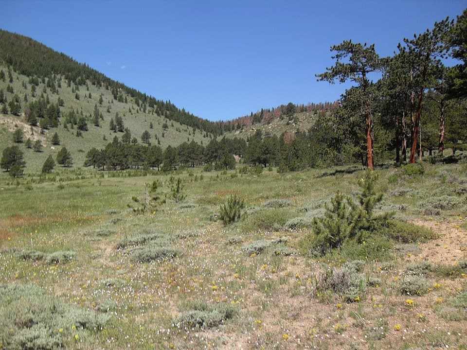 Picnic area · 1.7 mi awayHollowell ParkA meadow picnic with Longs Peak across the basin.
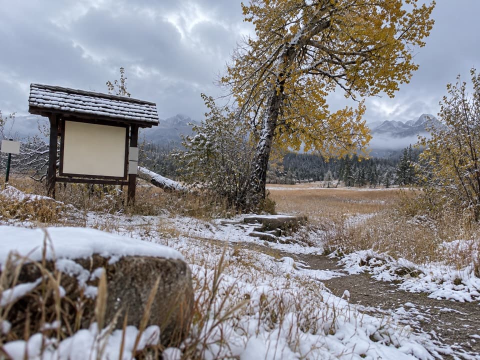 Picnic area · 2 mi awayUpper Beaver Meadows Picnic AreaA quiet roadside picnic with the Continental Divide in view.
 Sight · 2 mi awayBierstadt LakeMountain reflections reward the steep walk in.Sight · 2 mi awayFern FallsA tiered waterfall marks a natural halfway goal on Fern Lake Trail.
 Sight · 2.2 mi awayMoraine ParkAn open glacial meadow with elk beneath Longs Peak and the Divide.
Parkwolf’s Rocky Mountain ranking

The audio tour guide for the drive, plus offline maps, trails, and wildlife heatmaps for when the signal drops.




