Parking
Fern Lake Trailhead is at the end of Moraine Park Campground Road. The vehicle section from the shuttle parking area to the trailhead typically closes from mid-October through Memorial Day weekend; check current access and transit.
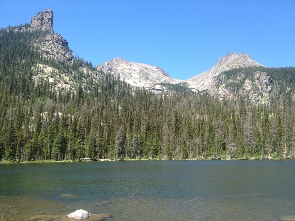
Rocky Mountain National Park, CO
A 10.3-mile lake hike with an unmaintained final stretch.
Overview
Map & elevation
Plan your hike

The highest, rockiest slopes around here are a summer buffet for grizzly bears.
Rocky Mountain Tour Guide
Parkwolf is a GPS audio tour guide for Rocky Mountain National Park. As you drive, it chimes in with what’s ahead: hidden gems, upcoming stops, history, geology, and wildlife, right through your car’s speakers.
See the Rocky Mountain audio tourRecorded for this trailhead
Fern Lake Trailhead: Turn Around at The Pool“You're nearing Fern Lake Trailhead, where The Pool makes a good shorter turnaround.”
Plays as you drive up to this trailhead in the Parkwolf Rocky Mountain Tour Guide.
More stories near here in the app
“…No cell service for majority of the day but had continuous access to the app - the maps, the tour guide as you drive is amazing. Highly recommend purchasing the subscription.”


Trail guide
This is a long out-and-back from Fern Lake Trailhead, following the Fern Lake corridor toward Fern Falls, Fern Lake and Spruce Lake before continuing to Loomis Lake. The stored 10.3 miles counts the full return; the mapped corridor is about 5.15 miles each way. The approach to Spruce Lake is listed at roughly 4.6–4.7 miles, and the mapped Loomis segment adds about 0.6 mile one way. Published figures vary slightly, so treat 10.3 miles as a route-based estimate for this mapped variant.
Fern Falls is about 2.5 miles from the trailhead, Fern Lake about 3.8 miles, and Spruce Lake roughly 4.6–4.7 miles. These named stops break up the approach, but they do not make the final destination a maintained route. The Spruce approach is unmaintained in places; the continuation toward Loomis is an informal path over natural ground, with less certain visibility and wayfinding.
Some shoreline and adjacent wetlands are closed to protect sensitive wildlife. The posted closure map marks the east-side wetlands as seasonally closed from May 15 through September 30; the trail line around the north and west side remains open. Do not try to circle the lake or cross a closure to reach a preferred shore. Follow current signs and barriers if conditions or restrictions change.
The mapped path reaches the Loomis Lake area, but reliable detail about a maintained shore route, a signed turnaround, or a designated viewpoint was not available. Expect the upper segment to be informal and use a current map to judge the route as you go. The mapped line is evidence of a walked corridor, not proof that the upper path is maintained or that access is open in every condition.
The trailhead is at the end of Moraine Park Campground Road. The vehicle section between the shuttle parking area and Fern Lake Trailhead typically closes from mid-October until Memorial Day weekend, so check current access and transit before setting out. The route climbs from about 8,155 feet to roughly 10,250 feet and is a demanding 6–7-hour day. Pets are prohibited on park trails. Carry navigation and be prepared to turn back if the informal upper path or closures make continuation unclear.
Wildlife
 3,124 sightingsElkMost seen around 6 PMSighting map
 1,601 sightingsMooseMost seen around 7 PMSighting map
 19 sightingsMountain GoatMost seen around 7 AMSighting map
 19 sightingsBald EagleMost seen around 8 AMSighting map
 30 sightingsGolden EagleMost seen around 10 AMSighting map
 270 sightingsBighorn SheepMost seen around 11 AMSighting map
Sighting maps show where each species has been reported across Rocky Mountain. Wildlife moves, so no sighting is guaranteed.
Keep exploring
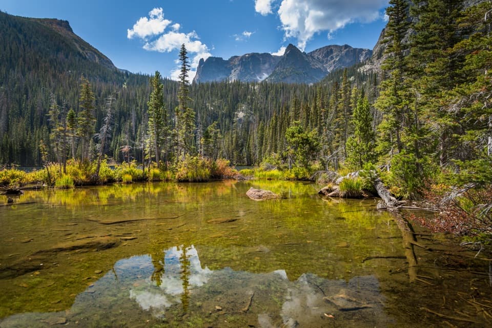 ModerateFern Lake Trail7.6 mi · 4.5 hr · At the trailheadA 7.6-mile return to Fern Lake passes The Pool and Fern Falls.
 EasyThe Pool Trail3.4 mi · 1.8 hr · At the trailheadA short river walk to a lively, boulder-lined confluence.ModerateSpruce Lake Trail9.4 mi · 6 hr · At the trailheadFern Falls and a mountain lake reward the rough last climb.
 ModerateCub Lake–The Pool Loop6.1 mi · 3.5 hr · At the trailheadPair a lily-covered lake with a creek-carved pool.
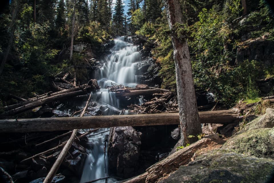 ModerateFern Falls Trail5.1 mi · 3 hr · At the trailheadArch Rocks and The Pool earn the long walk to Fern Falls.
 ChallengingGrace Falls Viewpoint Trail12 mi · 7.5 hr · At the trailheadA long high-country hike for a view of Grace Falls.
 ModerateOdessa Lake via Fern Lake Trail9.8 mi · 6 hr · At the trailheadTwo alpine lakes, a cascade and a serious climb from Fern Lake.
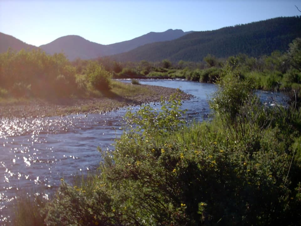 ModerateCub Lake Trail4.6 mi · 3.5 hr · 0.8 mi awayA meadow crossing and aspen climb lead to a lily-pad lake.
 Sight · 0.9 mi awayCub LakeA lily-covered lake at the end of a varied Moraine Park hike.
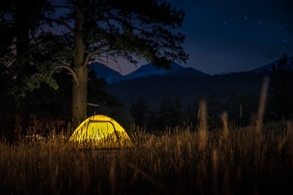 Campground · 1.4 mi awayMoraine Park CampgroundElk bugles sometimes carry across camp on autumn nights.
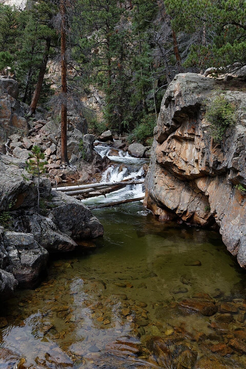 Sight · 1.6 mi awayThe PoolA lively river pool makes a good shorter Fern Lake Trail turnaround.
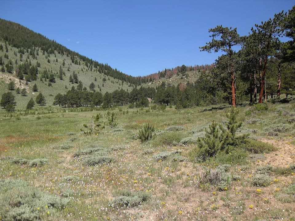 Picnic area · 1.7 mi awayHollowell ParkA meadow picnic with Longs Peak across the basin.
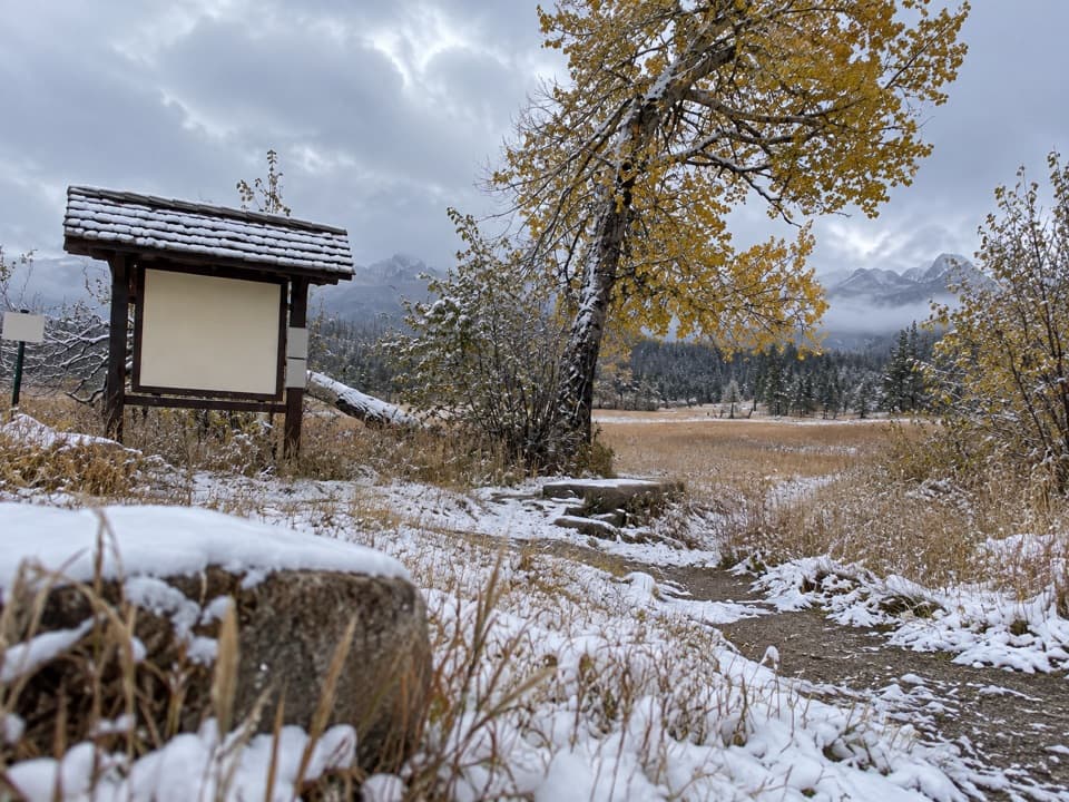 Picnic area · 2 mi awayUpper Beaver Meadows Picnic AreaA quiet roadside picnic with the Continental Divide in view.
 Sight · 2 mi awayBierstadt LakeMountain reflections reward the steep walk in.Sight · 2 mi awayFern FallsA tiered waterfall marks a natural halfway goal on Fern Lake Trail.
 Sight · 2.2 mi awayMoraine ParkAn open glacial meadow with elk beneath Longs Peak and the Divide.
Parkwolf’s Rocky Mountain ranking

The audio tour guide for the drive, plus offline maps, trails, and wildlife heatmaps for when the signal drops.




