The Pool Trail in Rocky Mountain National Park

Rocky Mountain National Park, CO

The Pool Trail

A short river walk to a lively, boulder-lined confluence.

Photo: Wikimedia Commons
Length
3.4mi
Time
1.8hr
Elev. change
256ft
Difficulty
Easy
  • No dogs
  • High point 8,415 ft
  • #61 of 136 in Rocky Mountain

Hear the audio tour

Fern Lake Trailhead: Turn Around at The Pool

Overview

About The Pool Trail

Why go

  • A short route with a lively river destination and only about 245 feet of climb.
  • Arch Rocks, forest, and open valley views make the walk varied before the confluence.

Heads up

  • The Pool is a fast-water confluence rather than a calm swimming hole.
  • Fern Falls and Fern Lake continue along the same trail, so watch the turnaround if you want the short hike.

Map & elevation

The route

Loading the Rocky Mountain map
Full map
Elevation8,159–8,415 ft
TrailheadFern Lake Trailhead40.35483, -105.63109
Keep this map with you offline in the Parkwolf app

Plan your hike

Before you go

Parking

Fern Lake Trailhead is at the end of Fern Lake Road, with a gravel lot that can fill early. During its seasonal service, the Moraine Park shuttle stops about 0.8 mile on foot from the trailhead. Check the current shuttle schedule and road access.

Safety

The Pool can run fast, and wet river rocks can be slick. Stay on the trail instead of climbing to the water’s edge. The trailhead is above 8,000 feet.

3 active Rocky Mountain alerts

  • ClosureOld Fall River Road closed to vehiclesOld Fall River Road is closed to motor vehicles for the season.Official details
  • ClosureSun Valley burn-area access remains closedThe area and trail west of Sun Valley Trail remain closed, including the route used for angler access to the Colorado River, because of impacts from the 2020 East Troublesome and Cameron Peak Fires;…Official details
See all 3 alerts
A park ranger sits on a dash-mounted phone, talking, as Parkwolf’s Tour Guide plays “Army Cutworm Moths: A Grizzly Bear Buffet” on Grand Loop Road below Dunraven Pass in Yellowstone
Parkwolf Tour GuideThe highest, rockiest slopes around here are a summer buffet for grizzly bears.

Rocky Mountain Tour Guide

Your drive to The Pool Trail, narrated.

Parkwolf is a GPS audio tour guide for Rocky Mountain National Park. As you drive, it chimes in with what’s ahead: hidden gems, upcoming stops, history, geology, and wildlife, right through your car’s speakers.

See the Rocky Mountain audio tour

Recorded for this trailhead

Fern Lake Trailhead: Turn Around at The Pool
0:00 / 0:25
“You're nearing Fern Lake Trailhead, where The Pool makes a good shorter turnaround.”

Plays as you drive up to this trailhead in the Parkwolf Rocky Mountain Tour Guide.

More stories near here in the app

  • Cub Lake: Lily Pads Beyond the Meadow
  • Upper Beaver Meadows: A Picnic Below the Divide
  • Hollowell Park: Lunch and a Creekside Stroll
  • Watch for the Coyote's Pounce
  • 79 audio storiesacross Rocky Mountain’s roads, triggered by GPS as you drive
  • Wildlife heatmapsfor Elk, Moose, Mountain Goat, and 13 more
  • Works offlinemaps, 136 trails, 88 places, and audio download before you lose signal
  • CarPlay readysimple controls built for the drive
★★★★★
“…No cell service for majority of the day but had continuous access to the app - the maps, the tour guide as you drive is amazing. Highly recommend purchasing the subscription.”
jkatnerApp Store review
Download Parkwolf on the App StoreGet Parkwolf on Google Play

4.7 from 8,600+ ratings

Trail guide

Hiking The Pool Trail

The short walk to The PoolThe Pool Trail is a 3.4-mile out-and-back from Fern Lake Trailhead.

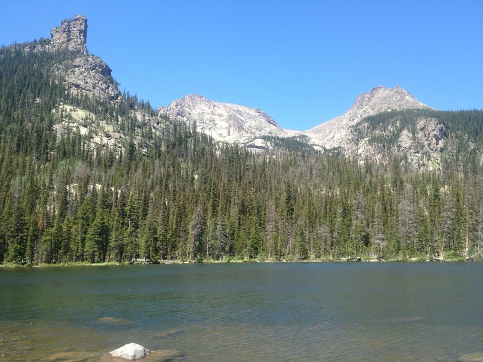
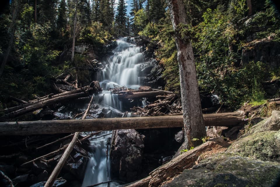
The Pool Trail is a 3.4-mile out-and-back from Fern Lake Trailhead. Follow the Fern Lake Trail for 1.7 miles each way to the place where Fern Creek joins the Big Thompson River. The climb to The Pool is about 245 feet. It is an easy walk by the park’s scale, though the trailhead is above 8,000 feet. Allow 1.5 to 2 hours with a stop by the water. This is the short hike; Fern Falls and Fern Lake continue farther along the same trail.

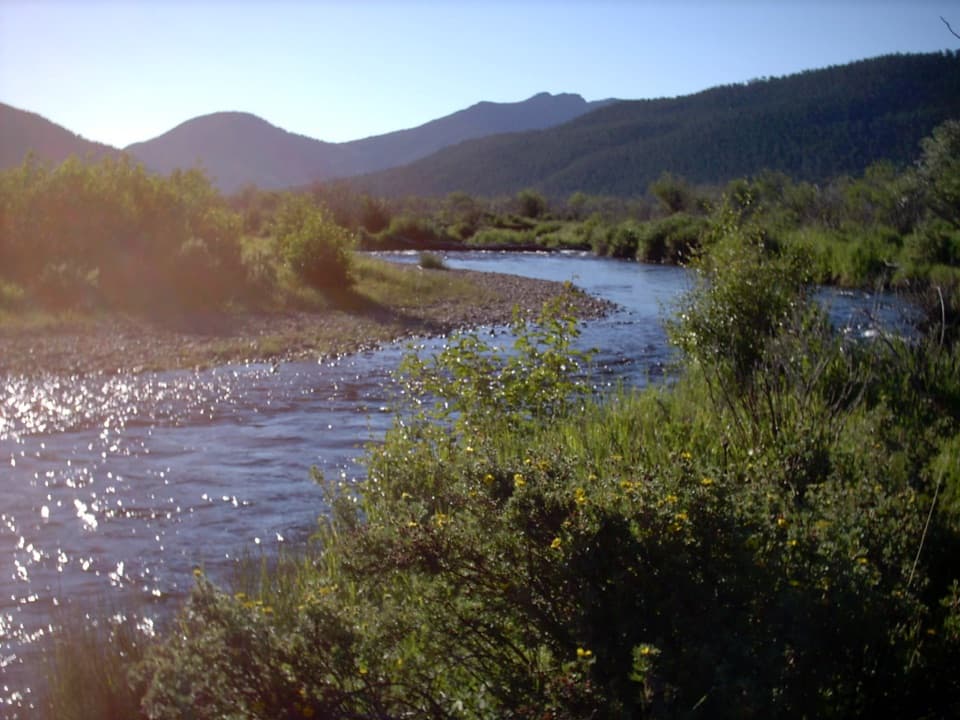
Follow the riverThe path runs beside the Big Thompson through mixed forest, with a few open stretches and…

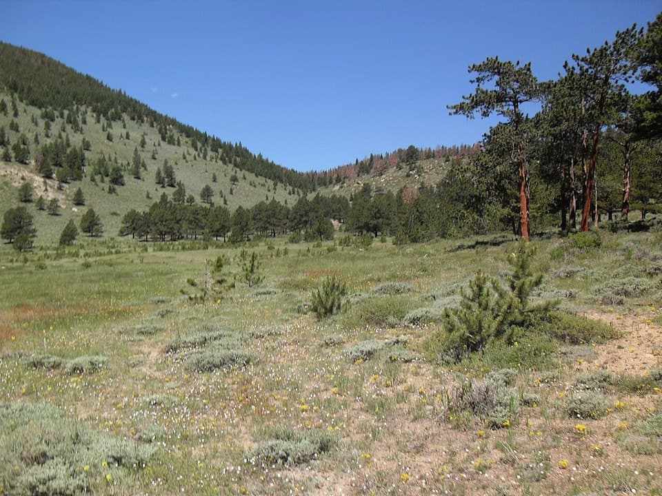
The path runs beside the Big Thompson through mixed forest, with a few open stretches and valley views. At about 1.2 miles, look for Arch Rocks, two house-sized boulders beside the trail. The route ends at the Cub Lake junction and the river confluence; turn around here for the 3.4-mile outing.

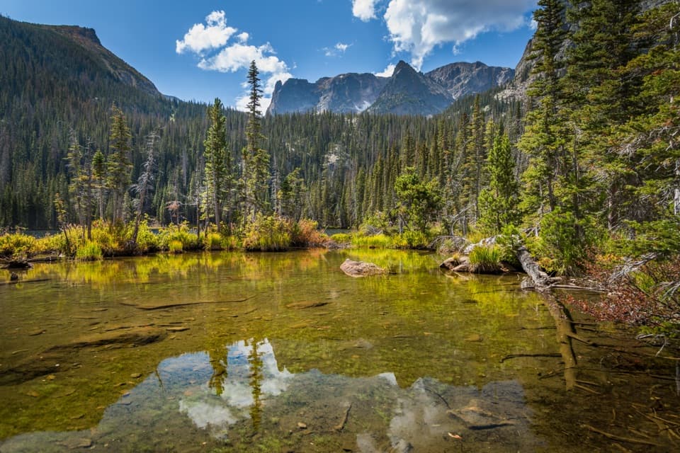
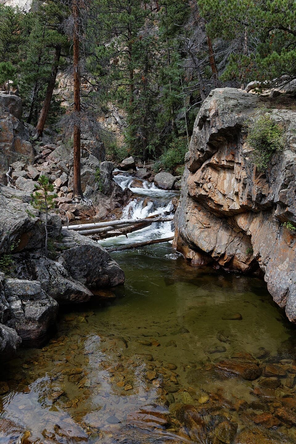
A river feature with a pastThe Pool is a boulder-lined spot where Fern Creek meets the Big Thompson, not a lake.

The Pool is a boulder-lined spot where Fern Creek meets the Big Thompson, not a lake. Early hikers were already coming here by 1889. Local groups improved the trail and built a horse bridge at The Pool between 1907 and 1912. The Forest Inn above the river offered lodging before Rocky Mountain National Park was established in 1915 and closed in 1951; its site is remembered by a backcountry campsite.

Parking, altitude, and dogsFern Lake Trailhead is at the end of Fern Lake Road. Its gravel lot can fill early.

Fern Lake Trailhead is at the end of Fern Lake Road. Its gravel lot can fill early. The seasonal Moraine Park shuttle serves the Fern Lake stop, about 0.8 mile on foot from the trailhead; check current service and road access before you go. The hike starts above 8,000 feet, so give yourself time. Pets are prohibited on park trails.

Wildlife

Wildlife in Rocky Mountain

All Rocky Mountain wildlife maps

Sighting maps show where each species has been reported across Rocky Mountain. Wildlife moves, so no sighting is guaranteed.

Keep exploring

Near The Pool Trail

See it all on the map

Trails that start nearby

Places near the trailhead

Parkwolf’s Rocky Mountain ranking

Top-rated trails in Rocky Mountain

All 136 trails
  1. 1Emerald Lake TrailModerate · 3.4 mi
  2. 2Sky Pond TrailChallenging · 9 mi
  3. 3Chasm Lake TrailChallenging · 8.4 mi
  4. 4Bear Lake LoopEasy · 0.6 mi
  5. 5Dream Lake TrailModerate · 2.2 mi
  6. 6Alberta Falls TrailEasy · 1.7 mi

Take Parkwolf to Rocky Mountain.

The audio tour guide for the drive, plus offline maps, trails, and wildlife heatmaps for when the signal drops.

4.7 from 8,600+ ratings

Download Parkwolf on the App StoreGet Parkwolf on Google Play