
Place · 2.9 mi away
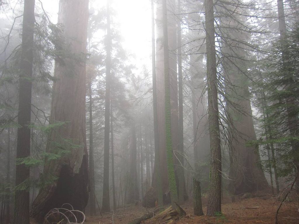
Garfield Grove is the big, wild side of the sequoia world—remote, pristine, and largely free of development. Tucked on the north slopes of Dennison Mountain, it blends deep quiet with towering trees, including some of the largest giant sequoias on Earth. If you’re up for a tough climb and solitude, this is where the park still feels raw and untamed.
Reaching Garfield Grove starts from the South Fork area via the Garfield‑Hockett Trail. Recent winter storms heavily damaged South Fork Road and sections of trail—expect washed‑out tread near drainages, downed trees, and encroaching brush. Vehicle access to the trailhead has been closed; hikers have been walking the final stretch when conditions allow. Check current park alerts before committing, and be fully self‑reliant.
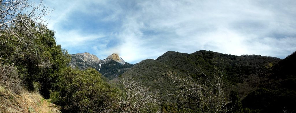
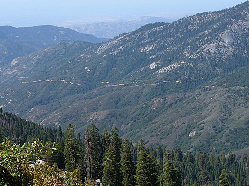
This is an advanced, sustained climb. Lower miles pass through hot oak woodlands notorious for poison oak before giving way to cooler pines and, eventually, sequoias. Views toward Homer’s Nose punctuate the ascent. Don’t be fooled by early signs—most hikers don’t reach the first truly impressive sequoias until roughly five miles in. Expect route‑finding around blowdowns and storm damage.
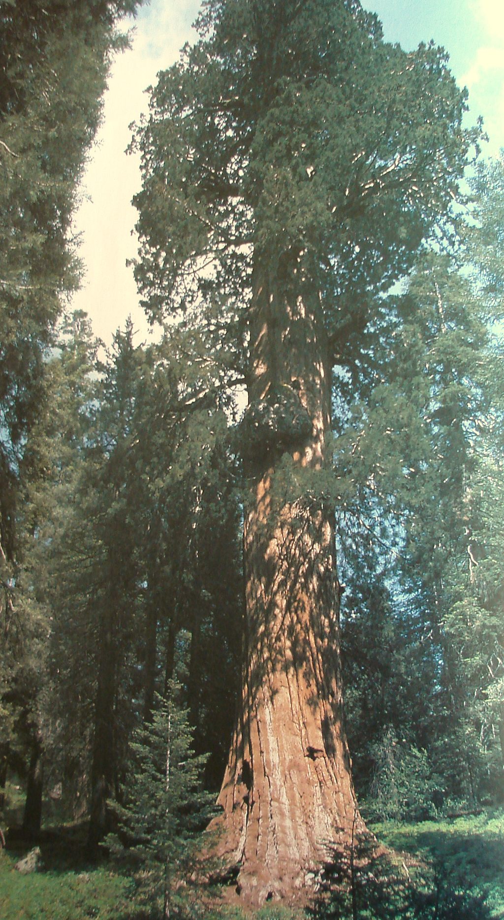
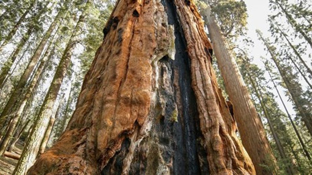
Garfield Grove shelters giants with serious credentials. King Arthur and Floyd Otter rank among the largest known sequoias, and the upper “mini‑grove” concentrates big, light‑brown trunks in an airy, photogenic stand. It feels more like a cathedral than a forest.
Fire is part of the grove’s DNA. After decades of suppression, the park reintroduced prescribed burning to rebuild resilience. During the region’s recent megafires, much of Garfield saw lower‑severity effects and retained green crowns, a stark contrast to neighboring areas that suffered heavy losses. The result: a grove that still reads as living, layered sequoia habitat.
Backpackers will find established backcountry sites along the route—Snowslide Camp sits a few miles in, and the Stonehenge area is a favorite for its natural rock “furniture.” Water sources are common in the grove, but treat everything. If you plan to overnight, follow current wilderness permit rules and get the latest details from the Foothills Visitor Center.
Tracks from bear and mountain lion aren’t uncommon. Keep a clean camp, make noise in brushy sections, and store food properly. You’re far from the crowds here—act accordingly.
Aim for cooler months when lower elevations aren’t baking—late October is a sweet spot: less poison oak, less heat, and potential fall clarity. Start early for the climb and to bank daylight for any detours around damage. In shoulder seasons, be ready for light snow higher up.
Place · 2.9 mi away
Place · 8.4 mi away
Place · 9.4 mi away
Place · 9.4 mi away
Challenging · 2.8 mi away
Challenging · 10 mi away
Challenging · 10.5 mi away
Challenging · 10.6 mi away

Parkwolf Tour Guide
