Parking
Garfield Grove Trailhead is in the South Fork Campground area at the end of unpaved South Fork Road. NPS recommends a high-clearance vehicle; check current park access information for the last drivable point and legal parking.

Sequoia National Park, CA
A steep, remote climb to a grove of giant sequoias.
Overview
Garfield Grove Trail is a steep 10-mile out-and-back to a remote giant-sequoia grove, with about five miles uphill each way. Choose it if walking among big trees in a backcountry setting matters more to you than a quick, easy grove stop. The price is a full day: expect a steady climb on the way in and the same corridor back. Allow about seven to nine hours if you want time to explore the trees. If you want an easier sequoia outing, save your time for one of the shorter walks in Giant Forest.
 Parkwolf’s verdictIs the long climb worth it?
Map & elevation
Plan your hike

The highest, rockiest slopes around here are a summer buffet for grizzly bears.
Sequoia Tour Guide
Parkwolf is a GPS audio tour guide for Sequoia National Park. As you drive, it chimes in with what’s ahead: hidden gems, upcoming stops, history, geology, and wildlife, right through your car’s speakers.
See the Sequoia audio tourRecorded for this trailhead
South Fork Campground and Ladybug Trail“Up ahead is South Fork Campground, a primitive riverside camp well away from the main park highways. There's no drinking water or food here, so bring your supplies.”
Plays as you drive up to this trailhead in the Parkwolf Sequoia Tour Guide.
More stories near here in the app
“…The kids and my husband and I all agree that the narration really added to our experience driving through the parks. We learned so much about the history and the flora & fauna.”


Trail guide
The route starts in the South Fork Campground area and climbs through oak woodland, gradually turning to pine and denser conifers. Poison oak has been reported on the lower stretch, so keep to the tread. Near Snowslide Canyon, the forest opens across an arroyo left by a major 1867 avalanche and landslide. Look across to the concave scar above it; then the trail returns to the woods and keeps climbing. NPS also points out views of Homer's Nose, a granite dome prominent enough to be seen from Visalia.
Isolated sequoias appear around three miles in, but they're not the whole payoff. The larger groupings come near the five-mile mark, including an open, relatively flat stand with a high density of large trees. Garfield Grove spreads along the hillside instead of ending at one marked viewpoint, so take time to walk among the stands before turning back. For a photo, include several trunks and some of the sloping forest floor to show the trees' scale.
The 10-mile figure here is the South Fork trailhead-to-grove trip and return on the same way. The trail continues beyond the grove toward Hockett Plateau, but that's a longer through-route; it isn't included in this distance. Pets are prohibited on park trails, though service dogs are allowed.
The trailhead is in the South Fork Campground area at the end of the unpaved South Fork Road; NPS recommends a high-clearance vehicle. Check current park access information for the last drivable point and legal parking, since the old trailhead lot is not the same as the current road end. No food service is listed for the trailhead or route, so plan this as a self-supported day hike.
Wildlife
 691 sightingsBlack BearMost seen around 6 PMSighting map
 17 sightingsMountain LionMost seen around 6 AMSighting map
 18 sightingsBobcatMost seen around 7 PMSighting map
 24 sightingsCoyoteMost seen around 7 PMSighting map
 15 sightingsGolden EagleMost seen around 11 AMSighting map
 20 sightingsSpotted OwlMost seen around 7 PMSighting map
Sighting maps show where each species has been reported across Sequoia. Wildlife moves, so no sighting is guaranteed.
Keep exploring
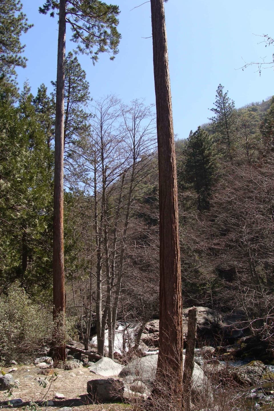 ModerateLadybug Trail to Ladybug Camp3.4 mi · 3 hr · 0.1 mi awayA creekside climb to young sequoias at a remote foothill camp.
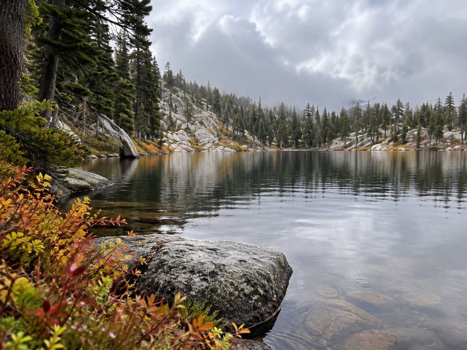 ModerateEvelyn Lake Trail5.8 mi · 4 hr · 6.2 mi awayA granite-shore lake detour from Hockett Meadow
 ModerateBlossom Lakes Trail3.6 mi · 3 hr · 7.2 mi awayA remote high-country climb to Lower Blossom Lake.
 ModerateCyclone Meadow Trail2 mi · 1.3 hr · 7.7 mi awayA high-country meadow walk beyond the long Summit Lake approach.
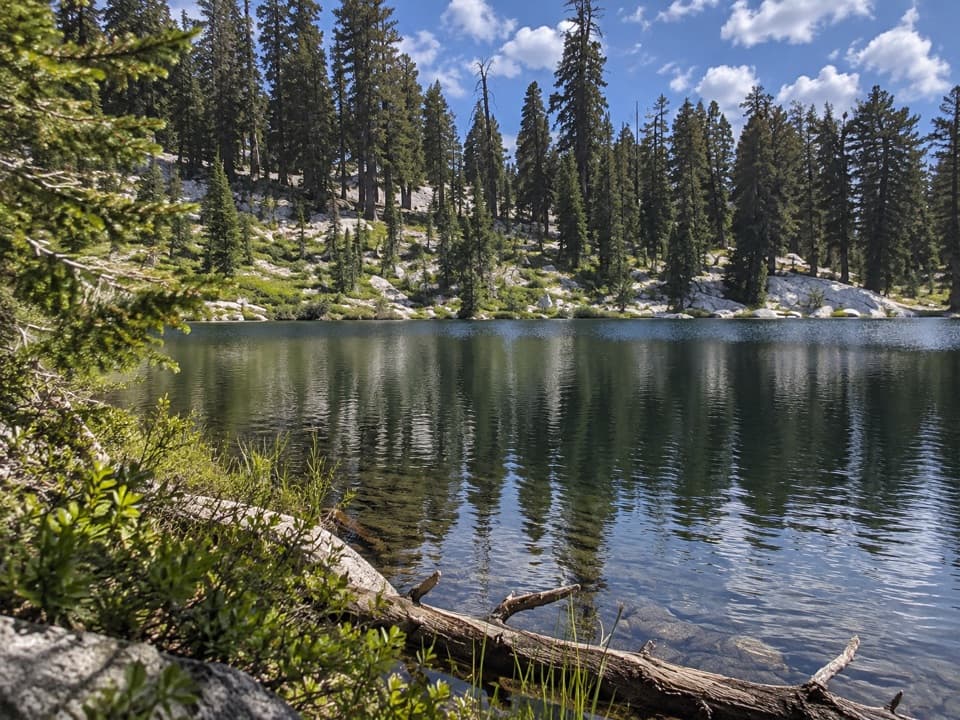 ChallengingLong Meadow Trail to Summit Lake15.2 mi · 14 hr · 8.7 mi awayA long, steep climb to a small alpine lake.
 ChallengingParadise Ridge Trail10 mi · 7 hr · 9.5 mi awayA steep, hot climb to a remote grove of giant sequoias.
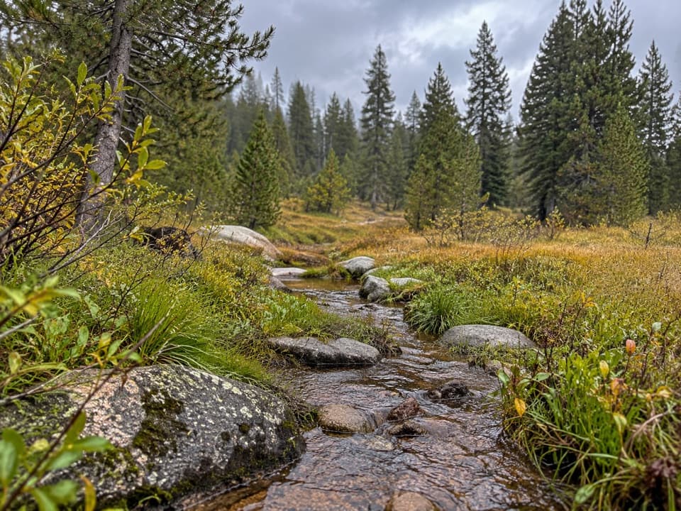 ChallengingAtwell-Hockett Trail21.3 mi · 12 hr · 9.6 mi awayA long backcountry climb ends in a broad Sierra meadow.
 ChallengingTar Gap Trail to Hockett Meadow18.6 mi · 10 hr · 10.9 mi awayA long Sierra climb through lakes and forest to Hockett Meadow.
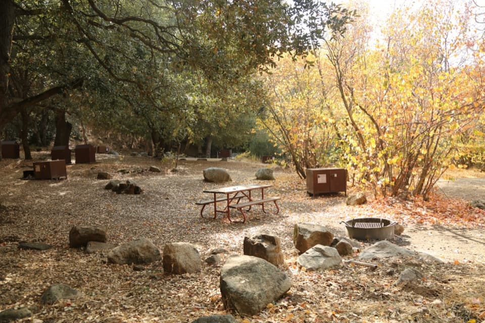 Campground · 0.1 mi awaySouth Fork CampgroundA quiet, remote base beside the Ladybug Trail.
 Sight · 5.5 mi awayLookout PointA quick canyon view and fee stop before the road climbs higher.
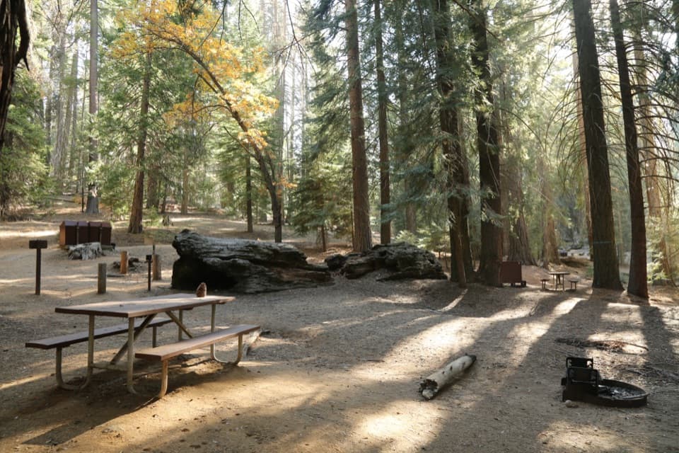 Campground · 9.5 mi awayAtwell Mill CampgroundA remote tent camp among logged sequoias and second-growth forest.
 Sight · 9.6 mi awayMosquito LakesA small alpine lake reached by a long Mineral King climb
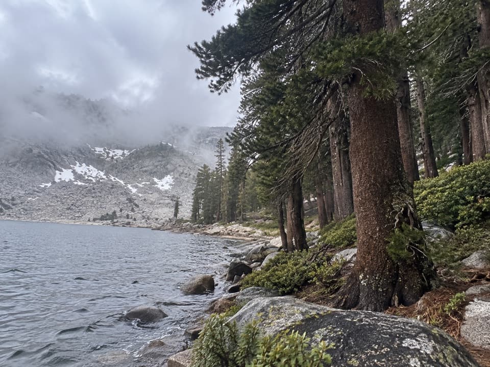 Sight · 10 mi awayEagle LakeBlue water at the end of a steep Mineral King hike.
Parkwolf’s Sequoia ranking
The audio tour guide for the drive, plus offline maps, trails, and wildlife heatmaps for when the signal drops.





