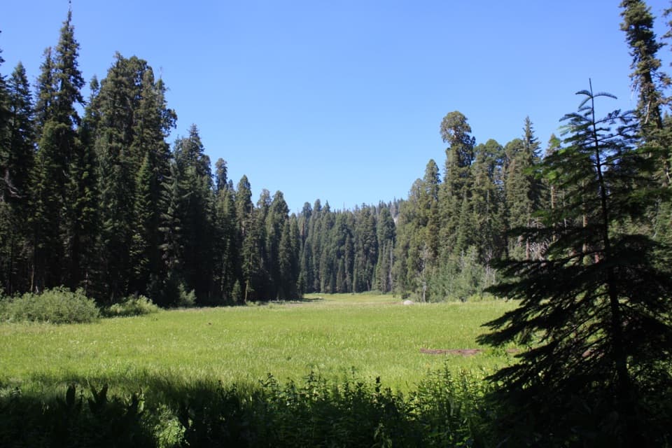
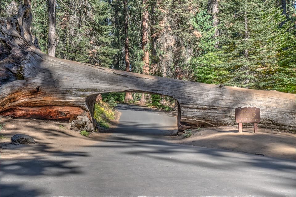
Eagle Lake in Sequoia National Park

Sight · Sequoia National Park

Eagle Lake

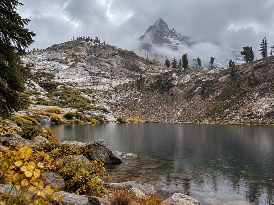
Blue water at the end of a steep Mineral King hike.

Type
Sight
Nearest trail
2.1 mi

Hear the audio tour

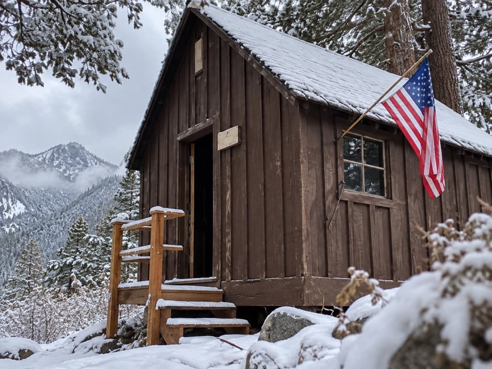
Mineral King Trailheads and Honeymoon Cabin

Overview

About Eagle Lake

Why stop

  • A clear lake beneath a rugged granite basin.

Heads up

  • A long, steep climb at high elevation.

Map

Where it is

Loading the Sequoia map
Full map
SightEagle Lake36.41749, -118.60521
Keep this map with you offline in the Parkwolf app

Plan your stop

Before you go

8 active Sequoia alerts

  • ClosureMineral King Road construction closures and delaysMentions Mineral King Road, referenced in this guideConstruction work is causing scheduled closures and delays on Mineral King Road through October 28, 2026; visitors must pass through the work zone to reach Mineral King.Official details
  • CautionStage 1 fire restrictionsStage 1 fire restrictions are in effect due to high fire danger and catastrophic-wildfire risk; the restrictions reduce the possibility of accidental human-caused fires that could threaten visitors…Official details
See all 8 alerts
A park ranger sits on a dash-mounted phone, talking, as Parkwolf’s Tour Guide plays “Army Cutworm Moths: A Grizzly Bear Buffet” on Grand Loop Road below Dunraven Pass in Yellowstone
Parkwolf Tour GuideThe highest, rockiest slopes around here are a summer buffet for grizzly bears.

Sequoia Tour Guide

Your drive to Eagle Lake, narrated.

Parkwolf is a GPS audio tour guide for Sequoia National Park. As you drive, it chimes in with what’s ahead: hidden gems, upcoming stops, history, geology, and wildlife, right through your car’s speakers.

See the Sequoia audio tour

Recorded for this place

Mineral King Trailheads and Honeymoon Cabin
0:00 / 0:31
“Up ahead are the trailheads at the end of Mineral King Road, with Honeymoon Cabin beside them. For a short history stop, take a look at this last surviving Crowley Resort rental cabin.”

Plays as you drive up to Eagle Lake in the Parkwolf Sequoia Tour Guide.

More stories near here in the app

  • Cold Springs Campground and Nature Trail
  • Mineral King Ranger Station
  • Sawtooth Trailhead and Monarch Lakes
  • The Tree in a Pencil
  • 71 audio storiesacross Sequoia’s roads, triggered by GPS as you drive
  • Wildlife heatmapsfor Black Bear, Mountain Lion, Bobcat, and 13 more
  • Works offlinemaps, 99 trails, 68 places, and audio download before you lose signal
  • CarPlay readysimple controls built for the drive
★★★★★
“…The kids and my husband and I all agree that the narration really added to our experience driving through the parks. We learned so much about the history and the flora & fauna.”
JessestblondeApp Store review
Download Parkwolf on the App StoreGet Parkwolf on Google Play

4.7 from 8,600+ ratings

Guide

More about Eagle Lake

A high lake that takes a real climbEagle Lake is a high alpine lake in Mineral King's glacial basin, about 10,010 feet above sea…

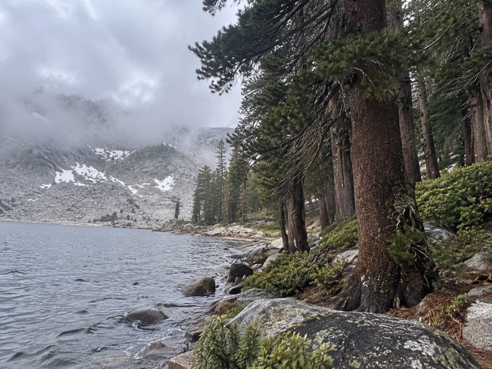
Eagle Lake is a high alpine lake in Mineral King's glacial basin, about 10,010 feet above sea level beneath steep granite walls. This is a destination hike, not a quick lakeside stop: allow 3.4 miles each way, 6.8 miles out and back from the Eagle/Mosquito trailhead. At Eagle Basin, take the left branch for Eagle Lake; the right branch continues toward Mosquito Lake No. 1.

What the approach is likeThe trail shares its first two miles with the Mosquito Lakes route, then climbs through open…

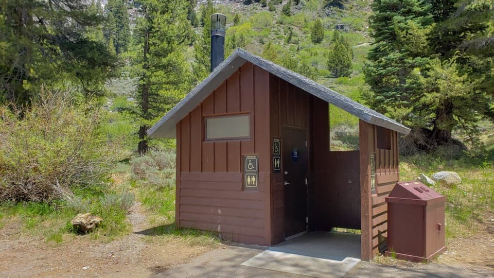
The trail shares its first two miles with the Mosquito Lakes route, then climbs through open slopes, meadows and forest before a steep, rocky ascent into the lake basin. Expect switchbacks and some stairs on an unpaved path. The climb is demanding at this elevation; dogs are not allowed on park trails, and this route is not wheelchair accessible. The trailhead lot is small and unpaved, and parking can be limited in the busy season.

At the north endA small old dam marks the north end of the lake and gives you a level stretch to pause.

A small old dam marks the north end of the lake and gives you a level stretch to pause. From there, look across the water toward Empire Mountain and Timber Gap, with Tablelands and Alta Peak farther north. The west shore has a small peninsula among granite and pines. For a photo, keep some shoreline rocks or trees in the foreground with the lake and granite basin behind them; the foreground makes the bowl feel less like a flat patch of water.

A basin shaped by iceThe lake sits in a high side valley carved by glaciers.

The lake sits in a high side valley carved by glaciers. Eagle, Mosquito and White Chief valleys are hanging valleys above the deeper Kaweah canyon: their smaller tributary glaciers cut less deeply than the main glacier. That explains the steep climb into a bowl ringed by granite rather than a gradual approach to the shore.

Things to notice on the wayEagle Creek disappears into a sinkhole in porous rock and runs underground for a stretch.

Eagle Creek disappears into a sinkhole in porous rock and runs underground for a stretch. In the meadows, mountain shooting stars and corn lilies bloom in season. Near the White Chief meadow and junction, the ruined White Chief cabin may be Mineral King's oldest remaining structure; James Crabtree claimed the nearby White Chief mine in 1873.

Plan for Mineral KingThe route starts at the end of Mineral King Road.

The route starts at the end of Mineral King Road. The road is narrow, steep and winding, with unpaved sections; RVs and trailers are not advised. Mineral King is generally accessible from late spring through fall, then closes for winter snow, and exact opening dates vary. Carry drinking water or treatment because the park cannot guarantee that lake and stream water is safe. Overnight camping requires a wilderness permit. In spring and early summer, marmots can chew vehicle hoses and wiring around Mineral King, so plan to protect your parked car.

Wildlife

Wildlife in Sequoia

All Sequoia wildlife maps

Sighting maps show where each species has been reported across Sequoia. Wildlife moves, so no sighting is guaranteed.

Keep exploring

Near Eagle Lake

See it all on the map

Trails nearby

More stops nearby

Parkwolf’s Sequoia ranking

Top sights in Sequoia

All 68 places
  1. 1General Sherman TreeSight
  2. 2Moro RockSight
  3. 3Crystal CaveSight
  4. 4Crescent MeadowSight
  5. 5Tokopah FallsSight
  6. 6Tunnel LogSight

Take Parkwolf to Sequoia.

The audio tour guide for the drive, plus offline maps, trails, and wildlife heatmaps for when the signal drops.

4.7 from 8,600+ ratings

Download Parkwolf on the App StoreGet Parkwolf on Google Play