Parking
The mapped start is a junction on the Pacific Crest Trail, not a car park. Reach it on foot as part of a larger backcountry itinerary; parking is at the trailhead for that approach, not at this segment.

Sequoia National Park, CA
Follow Rock Creek's meadows to a lake and a steep finish.
Overview
Map & elevation
Plan your hike

The highest, rockiest slopes around here are a summer buffet for grizzly bears.
Sequoia Tour Guide
Parkwolf is a GPS audio tour guide for Sequoia National Park. As you drive, it chimes in with what’s ahead: hidden gems, upcoming stops, history, geology, and wildlife, right through your car’s speakers.
See the Sequoia audio tour“…The kids and my husband and I all agree that the narration really added to our experience driving through the parks. We learned so much about the history and the flora & fauna.”


Trail guide
Rock Creek Trail is a 4.7-mile one-way backcountry connector from the Pacific Crest Trail through the Rock Creek drainage toward Soldier Lake. It follows Rock Creek through open meadows, passes Rock Creek Lake, then makes a steep final climb beside the Soldier Lakes outlet. The stored line stops at the nearest mapped tread about 100 yards from Upper Soldier Lake's shore; that final approach is not mapped. This entry covers the PCT-to-lake segment, not a longer continuation toward Kern Canyon.
The route rises from roughly 9,950 feet at the PCT junction to about 11,290 feet near its mapped end. Allow around four hours for this one-way stretch: the lower creekside walking is relatively mellow, but the last climb is steep and the air is thin. There are creek crossings along the way; one crossing was muddy after rain, so high water can make footing slower.
This is a wilderness connector, not a road-access day hike or loop. Reach the start on foot from the Pacific Crest Trail and plan the larger route that gets you there and brings you back or onward. Overnight travel in Sequoia wilderness requires a permit, and an approved animal-resistant food-storage container is required in the Rock Creek drainage. Pets are not allowed on park trails.
Wildlife
 691 sightingsBlack BearMost seen around 6 PMSighting map
 17 sightingsMountain LionMost seen around 6 AMSighting map
 18 sightingsBobcatMost seen around 7 PMSighting map
 24 sightingsCoyoteMost seen around 7 PMSighting map
 15 sightingsGolden EagleMost seen around 11 AMSighting map
 20 sightingsSpotted OwlMost seen around 7 PMSighting map
Sighting maps show where each species has been reported across Sequoia. Wildlife moves, so no sighting is guaranteed.
Keep exploring
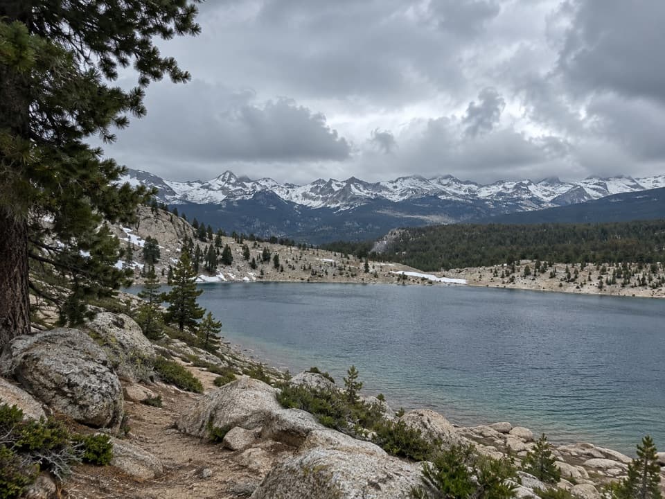 ChallengingFunston Lake Trail6.8 mi · 5.5 hr · 2 mi awayAn unmaintained high-country spur to Funston Lake.
 ChallengingCrabtree Lakes Trail7.1 mi · 5.5 hr · 4.5 mi awayA remote side trip to two alpine lakes
 ChallengingMoraine Lake Trail8.3 mi · 6 hr · 4.9 mi awayA high-country climb to a lake beneath the Great Western Divide.
 ChallengingOld Army Pass Trail1.2 mi · 2 hr · 5.2 mi awayA rough, high pass climb with Cottonwood Lakes far below.
 ChallengingKern Canyon Trail9.3 mi · 5 hr · 5.8 mi awayA long wilderness leg with a soak at Kern Hot Springs.
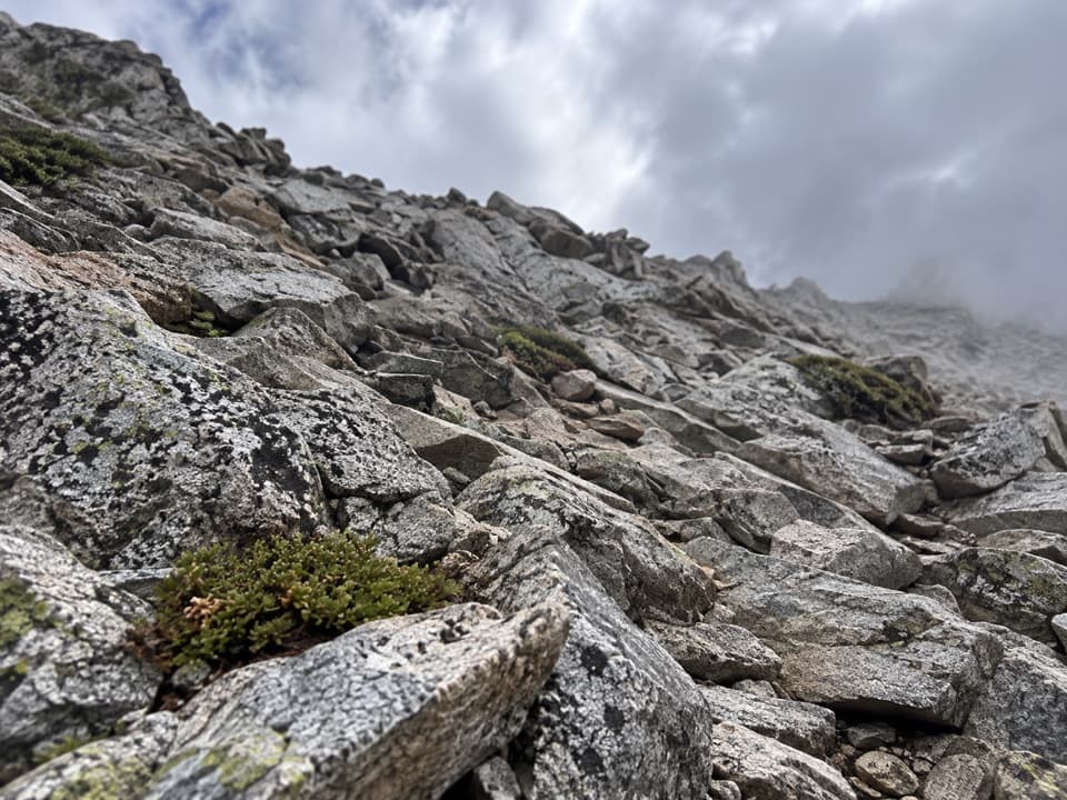 ChallengingPacific Crest Trail: Cottonwood Pass to Forester Pass29.3 mi · 1 day · 6.5 mi away29.3-mile high-country PCT route from Cottonwood Pass to Forester Pass
 ChallengingMount Whitney Trail22 mi · 14 hr · 7.8 mi awayA 22-mile alpine climb to the highest summit in the lower 48.
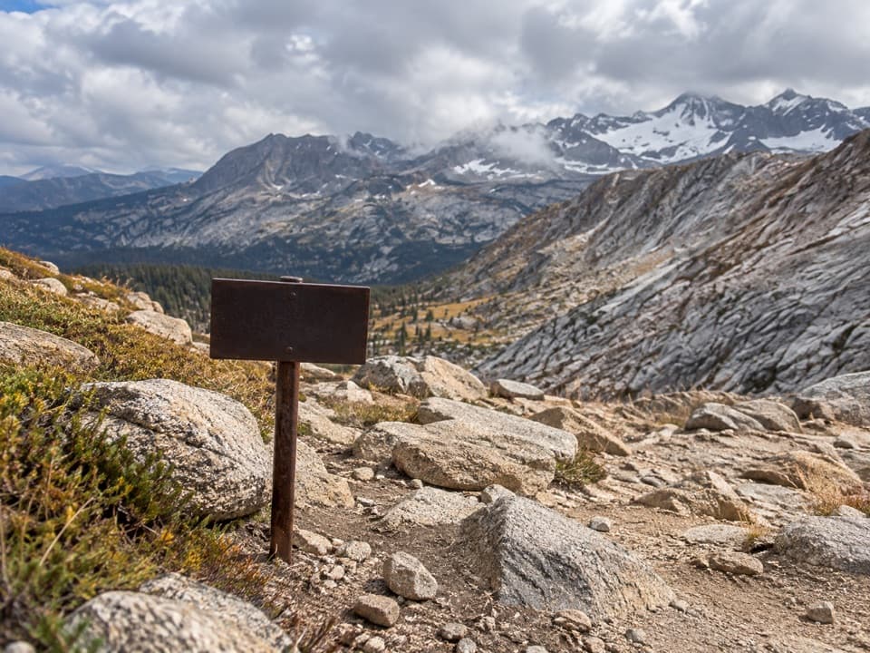 ChallengingColby Pass Trail18.9 mi · 20 hr · 7.8 mi awayA high, remote pass links the Kern-Kaweah drainage to Cloud Canyon.
Parkwolf’s Sequoia ranking

The audio tour guide for the drive, plus offline maps, trails, and wildlife heatmaps for when the signal drops.





