Pros & cons
PROS
- Convenient gateway off I-64/US-250 and the Blue Ridge Parkway
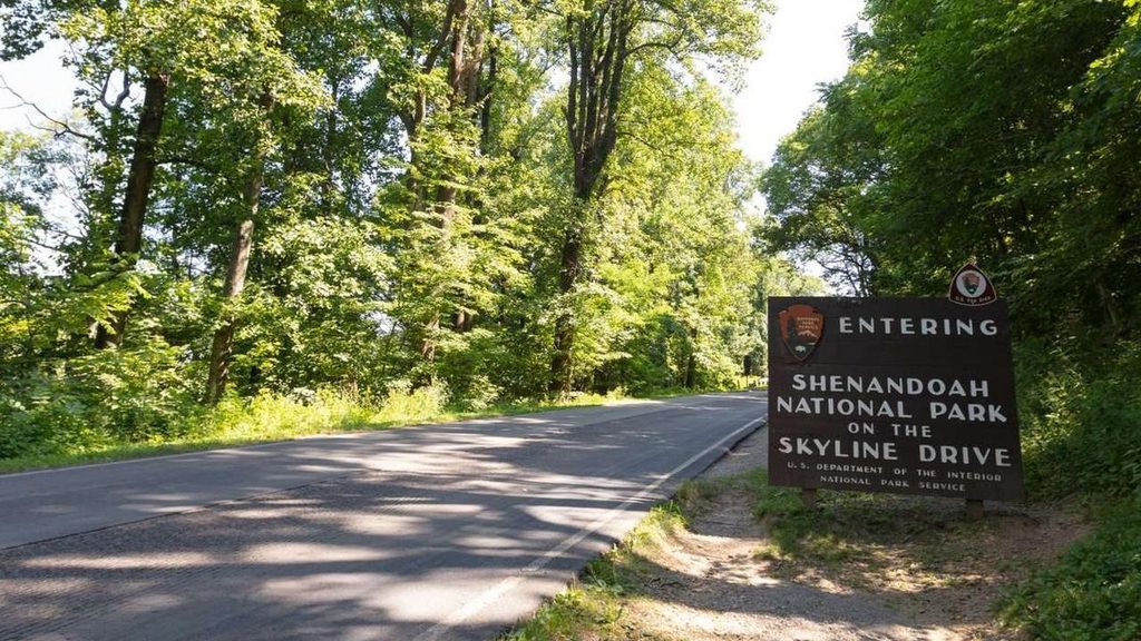
- Popular photo stop marking the start of Skyline Drive
- Staffed entrance with info and maps
CONS
- Lines can form at the fee booths on peak weekends
- No restrooms or food right at the sign area
- Fog can roll in and dull views
Overview
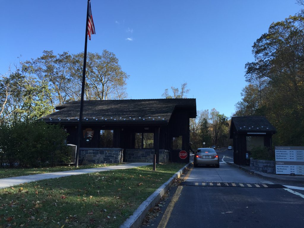
This is the southern gateway to Skyline Drive and an easy, celebratory photo stop as you roll into (or out of) the park. The sign sits near the Rockfish Gap fee booths where Shenandoah meets the Blue Ridge Parkway—drivers and cyclists use this junction to choose north onto Skyline Drive or south on the Parkway.
Why stop here
- It’s the symbolic start of Skyline Drive, and the sign makes a classic trip photo.
- Rangers/staff are typically on hand at the entrance station with maps and answers.
- You’re minutes off I‑64/US‑250, so it’s the most convenient way in from Charlottesville/Waynesboro.
What to expect
Pull over briefly near the sign for a quick shot, then continue into the park. On busy fall weekends, the fee station can queue up. There aren’t services at the sign itself—no restrooms or food here. If you need facilities, head outside the gate in Waynesboro/Afton or continue north to Loft Mountain Wayside when it’s open. Mile markers begin right after you enter, which makes planning overlooks, trailheads, and waysides straightforward.
Wildlife
Keep an eye out for white‑tailed deer near the entrance and along the first miles of Skyline Drive, especially around dawn and dusk. Black bears are occasionally seen—drive slowly and never feed wildlife.
Best time to visit
- Early morning or weekday afternoons: fewer lines and softer light for photos.
- Fall foliage draws the biggest crowds—arrive early to avoid fee‑booth backups.
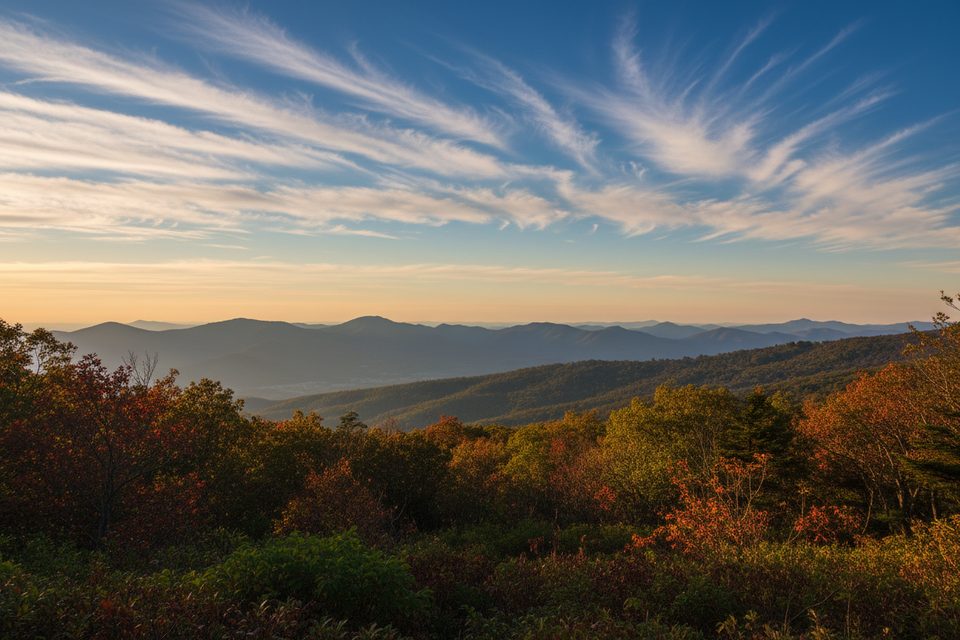
- Fog is common at Rockfish Gap. If it’s socked in, give it time; conditions can change quickly.
Planning notes
Bring a camera, your park pass or payment, and snacks/water since services are spaced out along Skyline Drive. Start using the mile markers immediately—navigation is much easier from here on out.
Where it is
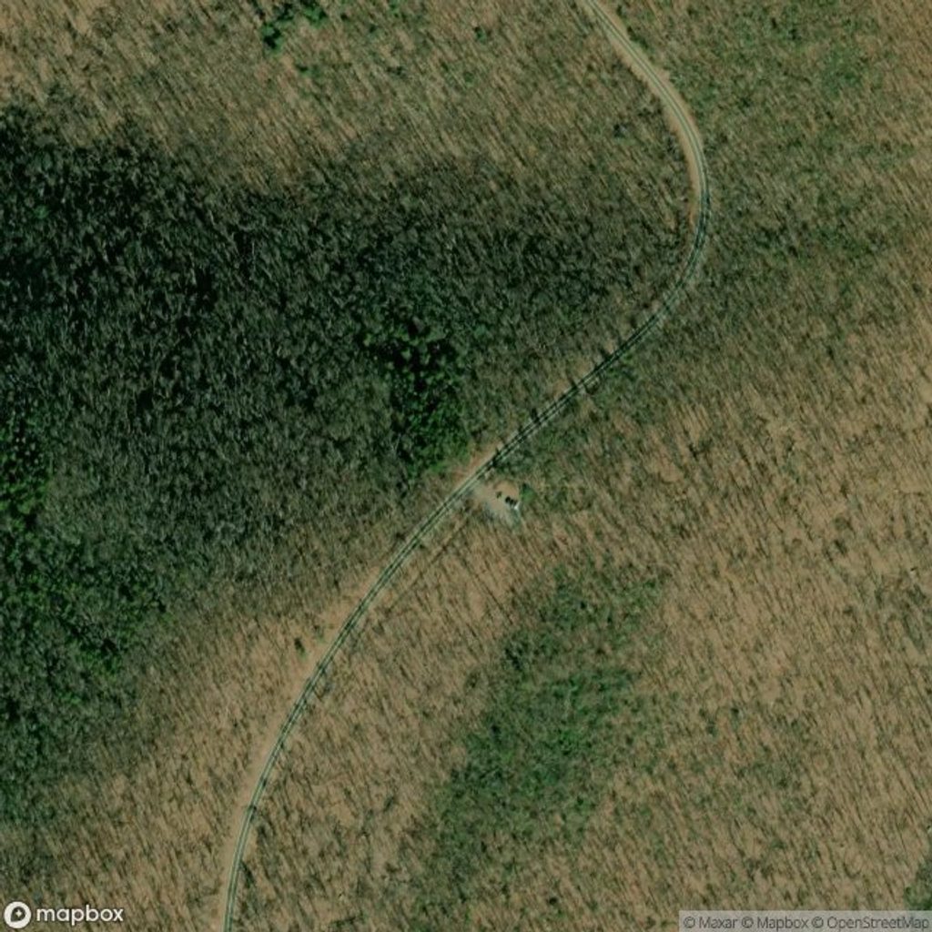
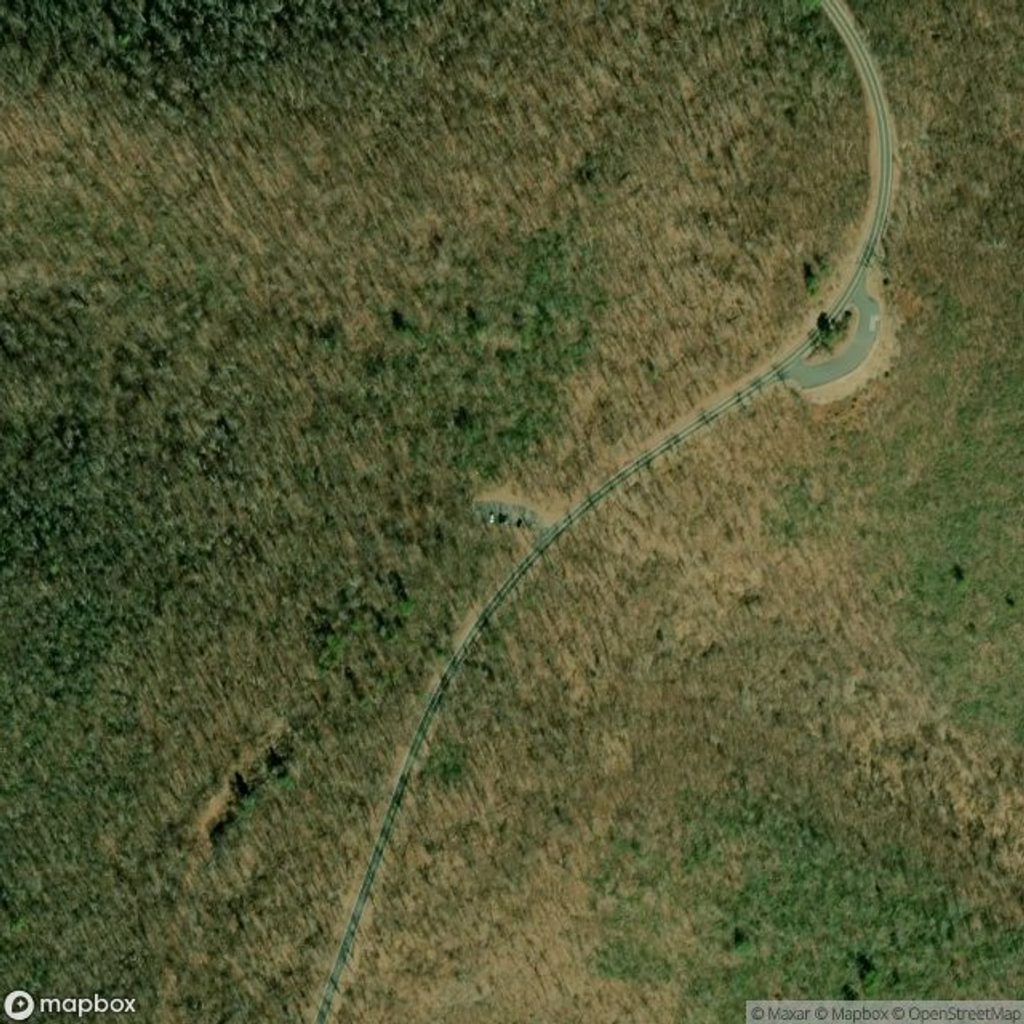
38.0377, -78.8560Tips for Shenandoah National Park Entrance Sign (Rockfish Gap Entrance)
- 01Snap your sign photo quickly and pull fully off the road—traffic moves fast here.
- 02Have a pass or card ready at the booth to keep the line moving.
- 03If you need restrooms or food, plan a stop in Waynesboro/Afton or at Loft Mountain Wayside.
- 04Use Skyline Drive mile markers from the start to plan overlooks and services.
- 05Foggy? Wait 15–30 minutes—conditions at the gap often change fast.
Amenities
Near Shenandoah National Park Entrance Sign (Rockfish Gap Entrance)
All places →All trails →
0 mi awayRockfish Gap Entrance StationSouthern gateway where Skyline Drive meets Blue Ridge ParkwayEntrance Station · Pullout
2.5 mi awayMcCormick Gap OverlookBig west-facing valley views near Skyline Drive's south endPullout · Parking
4 mi awayCalf Mountain OverlookQuiet west-facing stop with big sunset and night-sky viewsPullout · Parking
4.2 mi awayBeagle Gap OverlookEast-facing Piedmont panorama and easy birding right off Skyline DrivePullout · Parking
4.2 mi awayAppalachian Trail (Shenandoah)Shenandoah’s ridgeline highway: 101 miles of views, huts, and historyChallenging · 101 mi · 54.3 hr
4.2 mi awayCalf Mountain via Appalachian TrailMeadow-to-woods AT stroll with quick views and a quiet summitModerate · 3.9 mi · 3 hr
7.4 mi awayTurk Mountain TrailShort, rocky climb to wide-open valley views from a boulder summitModerate · 2.2 mi · 1.5 hr
9.2 mi awayWildcat Ridge TrailSteep ridge-to-hollow leg of the Riprap classic circuitChallenging · 2.6 mi · 2.5 hr