Best time to go
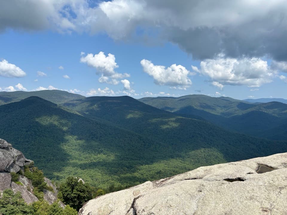
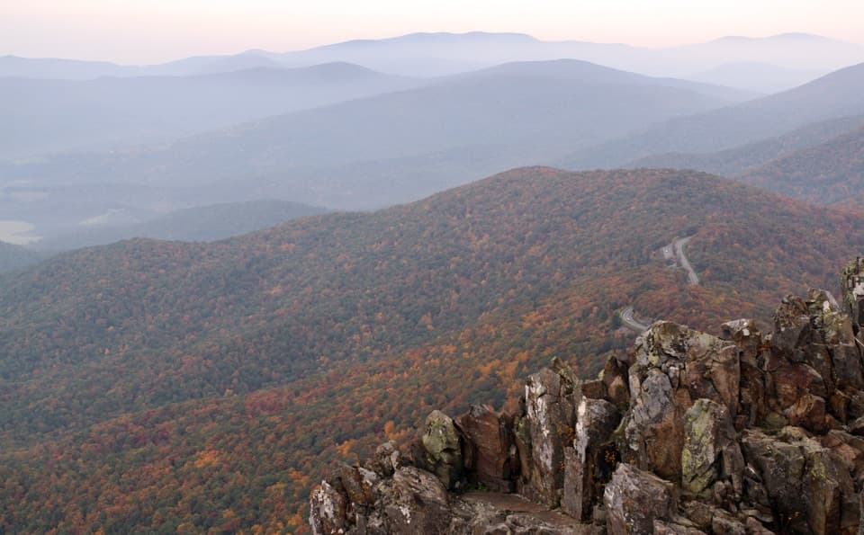
Sunset and fall color can add a lot to this view, though fog or vegetation can partly hide the valley. For a photo, frame the valley with the wooded ridges beyond it; the appeal here is the broad landscape, not one single landmark.

Scenic pullout · Shenandoah National Park
A quick pullout for wide views toward the southern Shenandoah Valley.
Overview
Map
Plan your stop

The highest, rockiest slopes around here are a summer buffet for grizzly bears.
Shenandoah Tour Guide
Parkwolf is a GPS audio tour guide for Shenandoah National Park. As you drive, it chimes in with what’s ahead: hidden gems, upcoming stops, history, geology, and wildlife, right through your car’s speakers.
See the Shenandoah audio tourRecorded for this place
McCormick Gap Overlook: The Southern Valley“You're approaching McCormick Gap Overlook, with a broad view across the southern Shenandoah Valley. Give it a few minutes to look beyond the valley floor to the wooded ridges on the far side.”
Plays as you drive up to McCormick Gap Overlook in the Parkwolf Shenandoah Tour Guide.
More stories near here in the app
“Fantastic app with many points of information… It’s great to just turn on while you’re driving and it gives you an audio tour of the national Park. We love it!!!!”


Guide
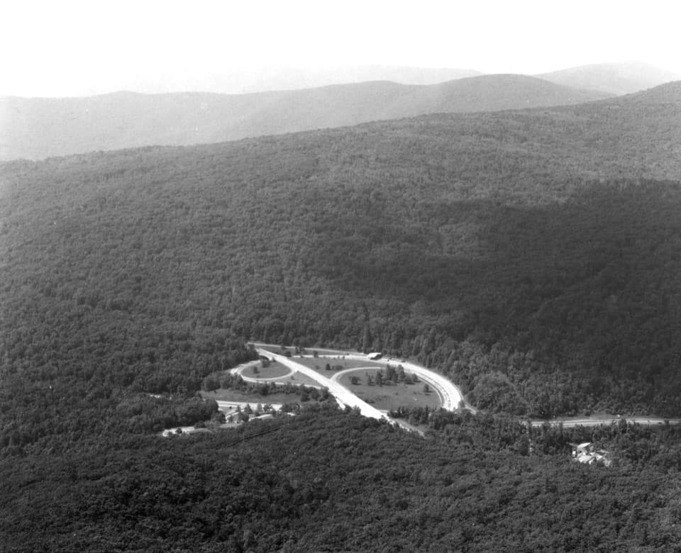
McCormick Gap Overlook is a roadside viewpoint on Skyline Drive at mile 102.4, with a broad view across the southern Shenandoah Valley. It is a quick pause on the drive, not a place that needs a long visit. Look past the valley floor to the layers of wooded ridges beyond it.
The valley lies between the Blue Ridge to the east and the Valley and Ridge Appalachians to the west. The name Shenandoah has no settled origin. “Beautiful Daughter of the Stars” is a familiar theory, but the evidence does not make it stronger than other explanations.
Wildlife
 325 sightingsBlack BearMost seen around 6 AMSighting map
 21 sightingsBald EagleMost seen around 10 AMSighting map
 1,036 sightingsWhite-tailed DeerMost seen around 7 PMSighting map
 167 sightingsWild TurkeyMost seen around 7 AMSighting map
 93 sightingsTimber RattlesnakeMost seen around 6 PMSighting map
 24 sightingsCoyoteMost seen around 6 AMSighting map
Sighting maps show where each species has been reported across Shenandoah. Wildlife moves, so no sighting is guaranteed.
Keep exploring
 EasyLittle Calf Mountain via Appalachian Trail1.7 mi · 1 hr · 1.7 mi awayA short Appalachian Trail climb to a grassy meadow with ridge views
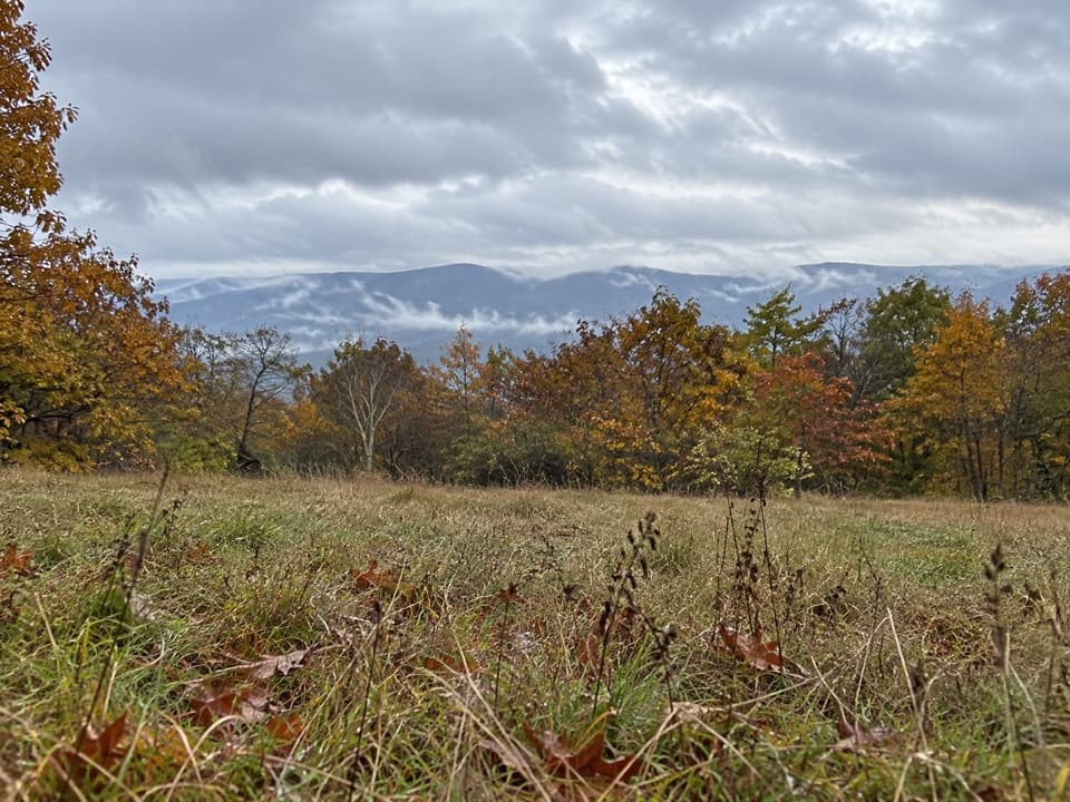 ModerateCalf Mountain via Appalachian Trail3.2 mi · 1.8 hr · 1.7 mi awayA meadow view before the Appalachian Trail’s wooded summit.
 EasyBear Den Mountain via Appalachian Trail1.2 mi · 45 min · 1.7 mi awayA short climb to radio towers, tractor seats, and broad ridge views.
 ModerateTurk Branch Loop7.9 mi · 5 hr · 3.3 mi awayRiver crossings lead to cascades and one broad ridge overlook.
 Scenic pullout · 1.5 mi awayCalf Mountain OverlookA west-facing pullout above Waynesboro and Jarman’s Gap.
 Scenic pullout · 1.8 mi awayBeagle Gap OverlookAn east-facing Piedmont view and a place to scan for fall hawks.
 Sight · 1.8 mi awayLittle Calf MountainA meadow summit rewards a short walk on the Appalachian Trail.
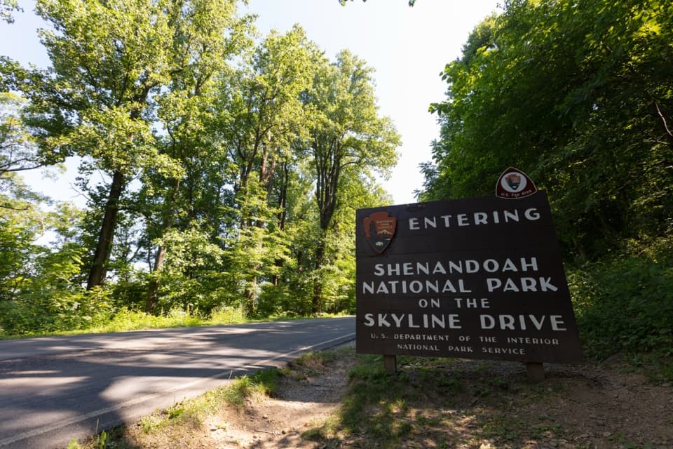 Entrance station · 2.5 mi awayRockfish Gap EntranceStart at mile 105 for Skyline Drive's quieter southern stretch.
 Scenic pullout · 3.7 mi awaySawmill Ridge OverlookFour named ridges and mountains line up in this quick roadside view.
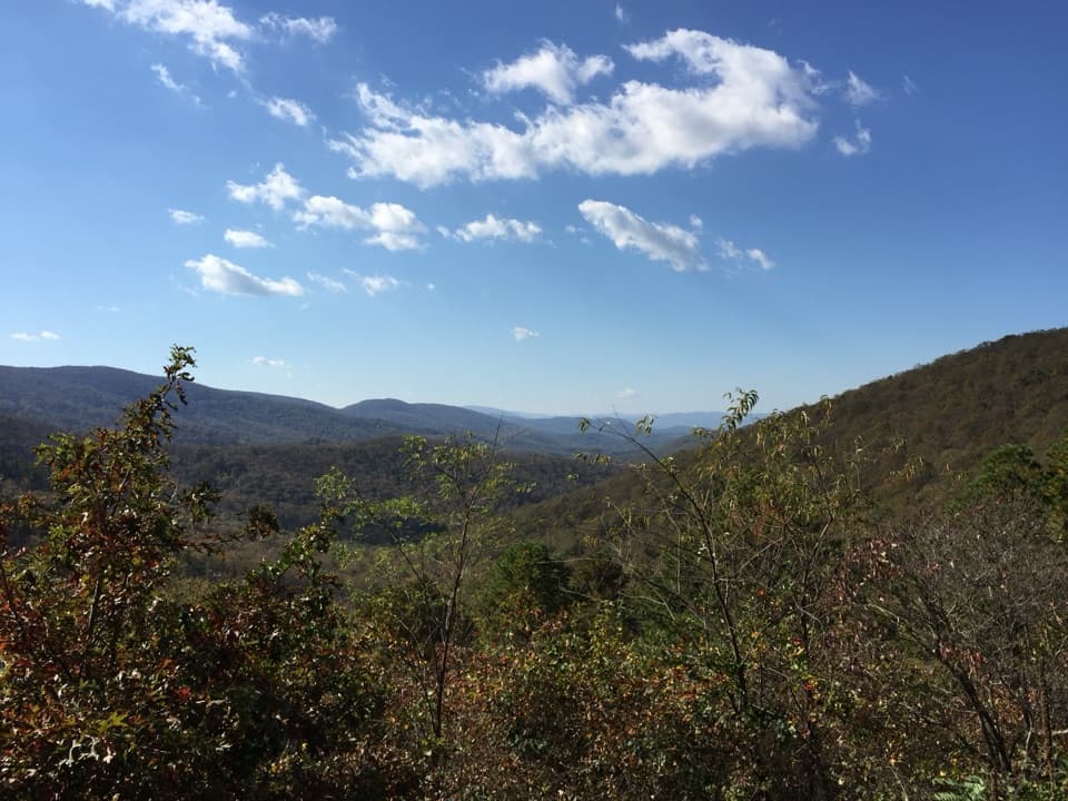 Sight · 4.1 mi awaySawmill Run OverlookA small southwest window toward Sawmill Ridge and Turk Mountain
 Sight · 4.6 mi awayTurk MountainA broad westward view waits beyond the last rocky climb.
Parkwolf’s Shenandoah ranking

The audio tour guide for the drive, plus offline maps, trails, and wildlife heatmaps for when the signal drops.