Pros & cons
PROS
- Broad east-facing panorama toward the Piedmont
- Reliable birding spot recognized on the Virginia Birding & Wildlife Trail
CONS
- Small pullout parking can fill on nice weekends
- Faces east—go elsewhere if you want a Shenandoah Valley (west) view
Overview
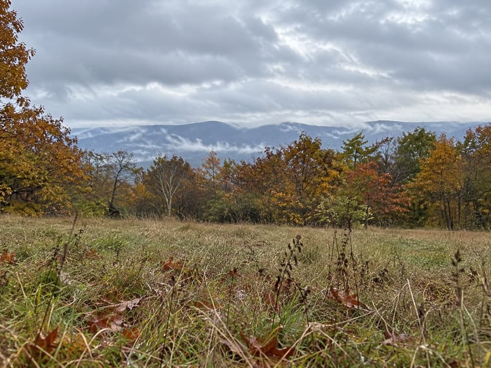
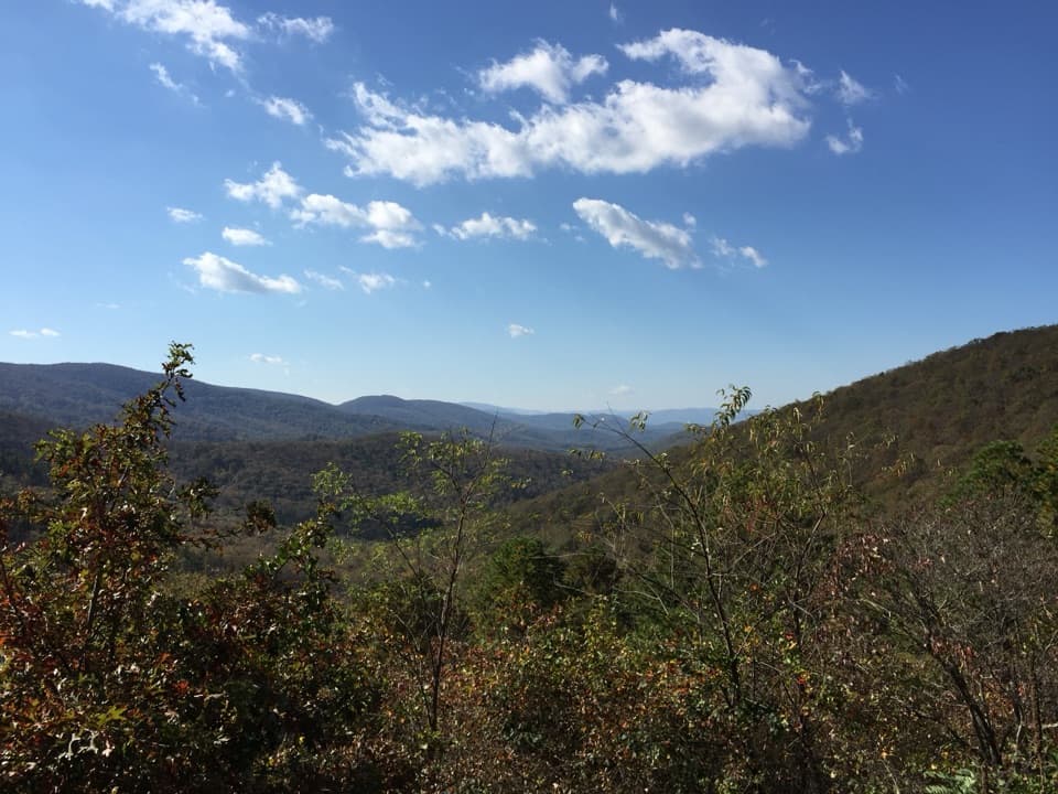
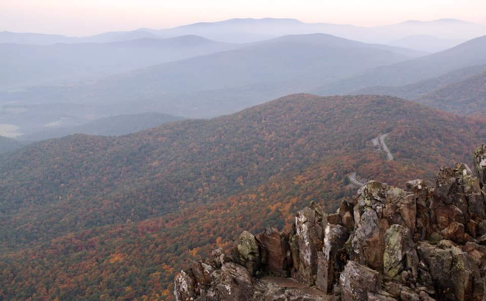
Beagle Gap Overlook is a straightforward Skyline Drive pull-off with a big, open view to the east from about 2,495 feet. It looks out over Virginia’s Piedmont beyond the park boundary, with Calf Mountain framing the scene.
What Makes It Different
Most popular overlooks here face west into the Shenandoah Valley; this one flips the script. If you chase sunrise light and want a wide, unobstructed vista, this spot delivers without any hiking.
Wildlife & Birding
This overlook is a designated stop on the Virginia Birding & Wildlife Trail, and birders regularly log sightings here. Expect a mix of songbirds in season; during fall migration, watch the sky—raptors can move along the ridge. Bring binoculars for the best experience.
Logistics You’ll Care About
- It’s an overlook pullout, not the nearby Beagle Gap parking area where the Appalachian Trail crosses the road. If you’re planning an AT hike, head to the separate Beagle Gap parking lot instead.
- Don’t count on facilities right at the overlook; it’s a quick stop-and-gaze kind of place.
- Parking is limited, and it’s exposed—wind can whip through the gap.
Best Time to Visit
- Sunrise: The view faces east, so early light is prime for photos and clear horizons.
- Weekdays or early mornings: Easiest for snagging a spot and enjoying some quiet.
- Autumn: Bird activity can be especially fun during migration, and cooler air often means clearer views.
Where it is
38.0729, -78.7931Tips for Beagle Gap Overlook
- 01For AT hiking, use the separate Beagle Gap parking area, not the overlook pullout.
- 02Bring binoculars—this is a Virginia Birding & Wildlife Trail stop.
- 03Come at sunrise for the best light and thinner crowds.
Amenities
Near Beagle Gap Overlook
All places →All trails →
0 mi awayAppalachian Trail (Shenandoah)Shenandoah’s ridgeline highway: 101 miles of views, huts, and historyChallenging · 101 mi · 54.3 hr
0 mi awayCalf Mountain via Appalachian TrailMeadow-to-woods AT stroll with quick views and a quiet summitModerate · 3.9 mi · 3 hr
0.6 mi awayCalf Mountain OverlookQuiet west-facing stop with big sunset and night-sky viewsPullout · Parking
1.7 mi awayMcCormick Gap OverlookBig west-facing valley views near Skyline Drive's south endPullout · Parking
2.9 mi awaySawmill Ridge OverlookWide, west-facing panorama with big Blue Ridge layers at sunsetPullout · Parking
2.9 mi awaySawmill Run OverlookQuiet west-facing overlook with broad valley vistasPullout · Parking
3.9 mi awayTurk Mountain TrailShort, rocky climb to wide-open valley views from a boulder summitModerate · 2.2 mi · 1.5 hr
5.3 mi awayNorth Fork Moormans River TrailRiver-hugging hike to swimming holes and a small waterfallModerate · 7.3 mi · 3 hr