
Place · 0.4 mi away
Moderate
This is the South District’s quick-hit summit: a 2.2-mile total, out-and-back that starts on the white‑blazed Appalachian Trail before turning onto the blue‑blazed Turk Mountain Trail to a big, rocky capstone. Expect roughly 700 feet of gain—short, steady, and a bit punchy near the top—paying off with broad, westward views over the Shenandoah Valley.
You’ll park at the Turk Mountain lot near Skyline Drive milepost 94.1, cross the road, then follow white blazes for a few minutes before turning right onto the blue‑blazed spur to Turk Mountain. Wayfinding is simple, but do watch that color change at the junction. The path is mostly dirt and roots through quiet forest, then transitions to larger rocks and boulders as you approach the summit. The last stretch involves a short, hands-on rock scramble across quartzite slabs—fun if you like scrambling, slippery if wet or icy.
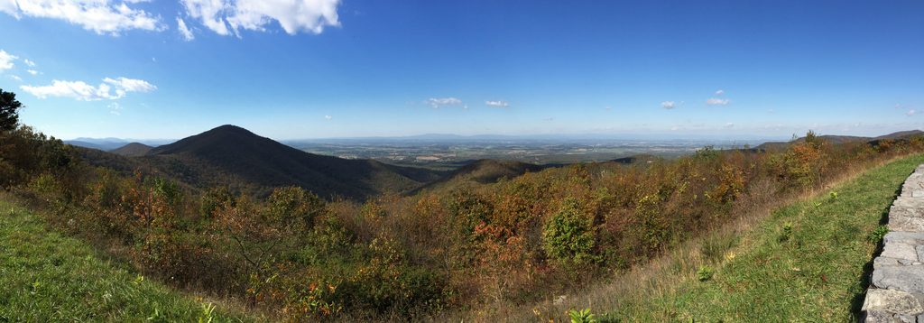
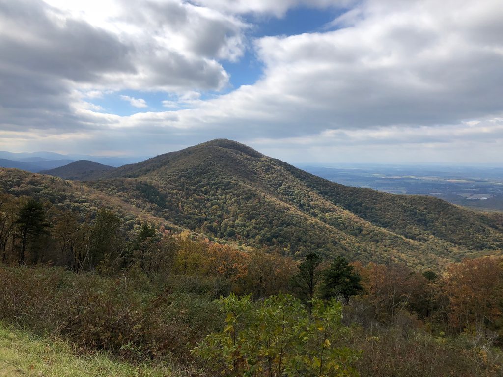
The summit is a broad jumble of rock with multiple perches. Views skew west, so on clear days you’ll get layer‑cake ridgelines and a big swath of the valley. It’s typically less crowded than the park’s marquee peaks, making it a nice pick when you want a satisfying overlook without the scene.
Flora and fauna are classic Blue Ridge: leafy hardwoods, seasonal wildflowers in spring and summer, and colorful foliage come fall. Deer are common. On hot, humid days the upper half‑mile can feel still and warm—breezes don’t always make it over the mountain—so start early and bring water. There’s no reliable water on route and cell service is spotty.
Practicalities: Dogs are allowed on leash (keep it to 6 feet). The trail is not ADA accessible. The Turk Gap lot is small and can fill on weekends, so arrive early. Avoid the summit during thunderstorms; it’s exposed. For a longer day, experienced hikers can link nearby horse trails (Turk Gap/Turk Branch), but the standard out‑and‑back is the classic experience here.
Best time to hike: Spring and fall are ideal for temperatures and views. Summer is fine if you beat the heat—sun protection helps on the exposed rocks. Winter can be lovely with leaf‑off views, but the summit rocks may ice over. For photographers, late‑day light and sunsets work well with the west‑facing aspect; just bring a headlamp for the descent.
Distance recap: 2.2 miles round trip total (AT connector + blue‑blazed spur). Some guides list up to 2.5 miles due to tracking differences.
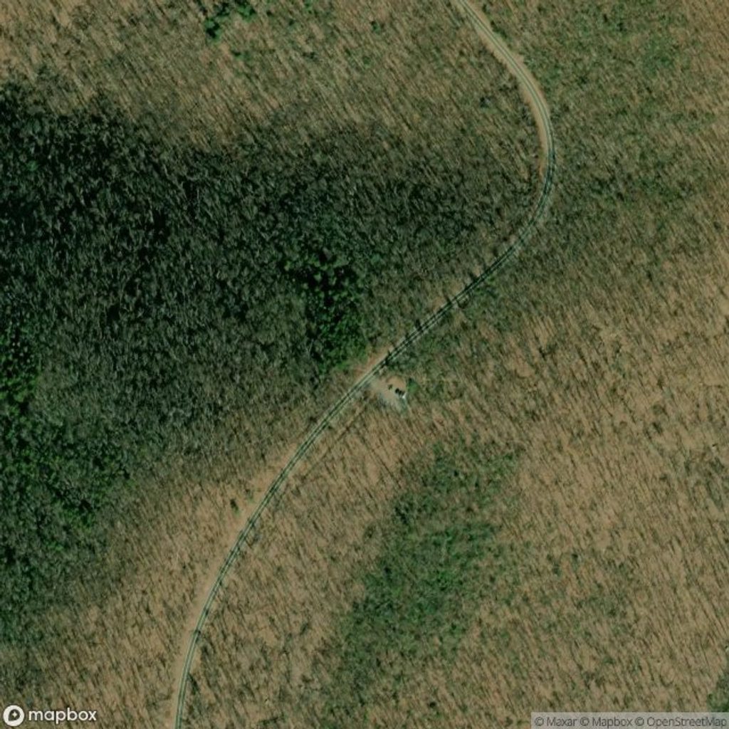
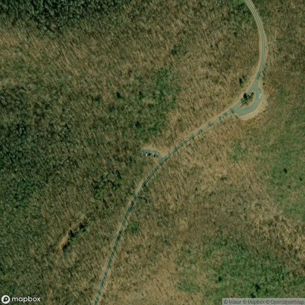
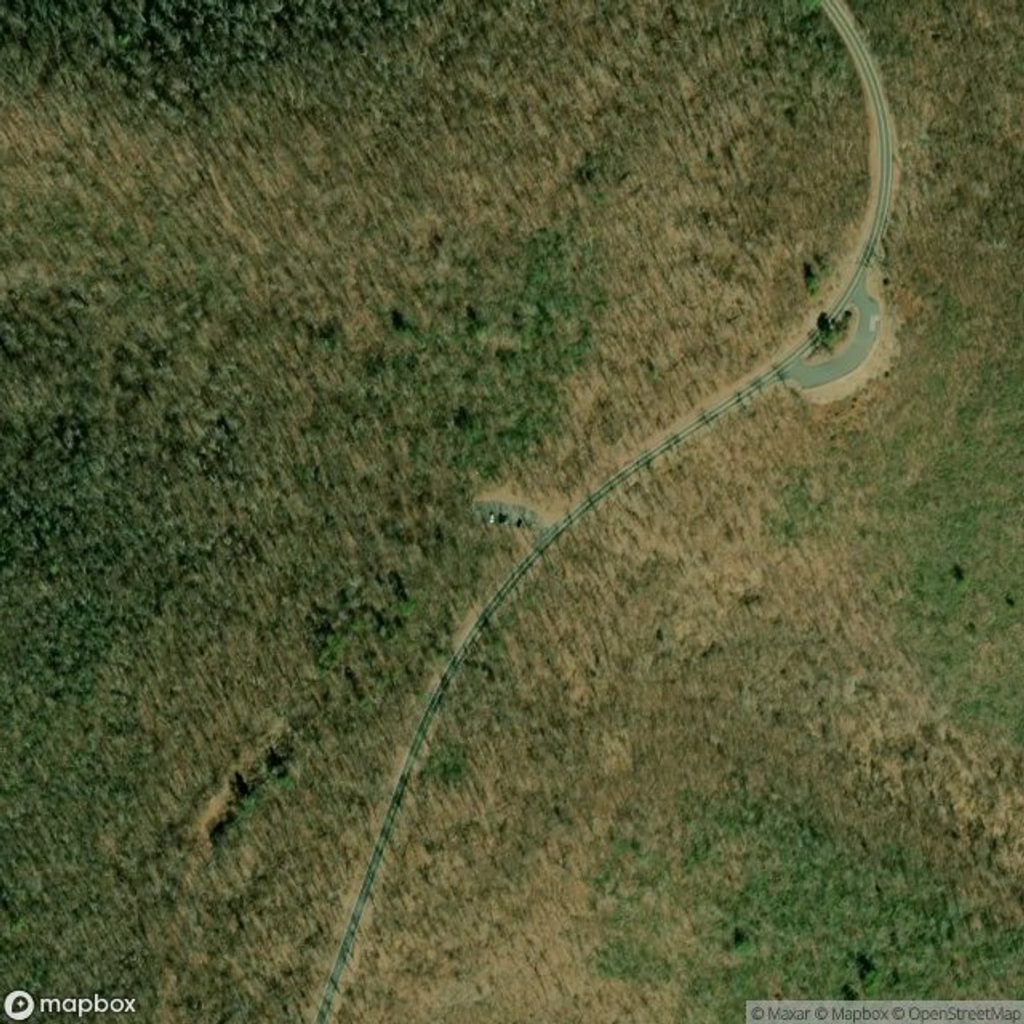
Park at the Turk Mountain Parking Area along Skyline Drive near milepost 94.1 (Turk Gap). The lot is small (about a dozen spaces). Cross Skyline Drive to pick up the white‑blazed Appalachian Trail; after 5–10 minutes, turn right onto the blue‑blazed Turk Mountain Trail.
Uneven, rocky footing with a short scramble near the summit; exposed boulders—avoid thunderstorms. Limited cell service and no water. Watch the white-to-blue blaze junction; the upper half‑mile can be hot and still on humid days.
Place · 0.4 mi away
Place · 1.1 mi away
Place · 1.1 mi away
Place · 1.1 mi away
Challenging · 1.8 mi away
Challenging · 1.8 mi away
Moderate · 2.6 mi away
Challenging · 3.9 mi away

Parkwolf Tour Guide
