
Place · 0.1 mi away
Challenging
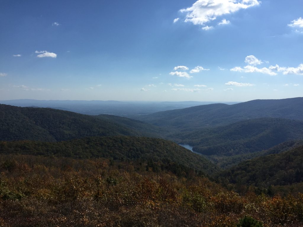
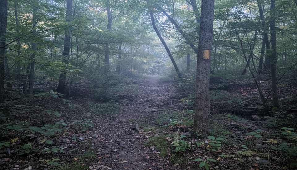
Wildcat Ridge Trail is the steep, rugged side of Shenandoah’s famed Riprap–Wildcat Ridge circuit. Starting from Skyline Drive, it drops off the Blue Ridge crest through dense, mature forest toward Riprap Hollow, then is commonly paired with Riprap Trail and the Appalachian Trail to form a strenuous 9.8–9.9 mile loop. The Wildcat Ridge segment itself runs about 2.6 miles one way between Skyline Drive (mile 92.1) and its junction with Riprap Trail.
Expect a sustained grade with rocky tread and several stream crossings. Hiked clockwise, you’ll climb Wildcat Ridge on the back half—an honest grind with long, steady pitches (some short stretches approach very steep grades) that will test legs and lungs. Counterclockwise, you’ll descend Wildcat Ridge first, then tackle the Riprap climb later. Either way, navigation is straightforward and well signed, but this is backcountry terrain—carry a map or downloaded GPS and be self-sufficient.
The real payoff views on this circuit are across the way on the Riprap side at Chimney Rock and Cavalry Rocks, plus classic Shenandoah water features—cascades, boulder pools, and a popular swimming hole. Wildcat Ridge itself is more about quiet forest walking, ridge ambience, and the workout. Keep an eye out for stream-carved hollows, square-cut rock ledges, and seasonal wildflowers; typical Shenandoah wildlife is around, and eastern cottontail rabbits are sometimes spotted.
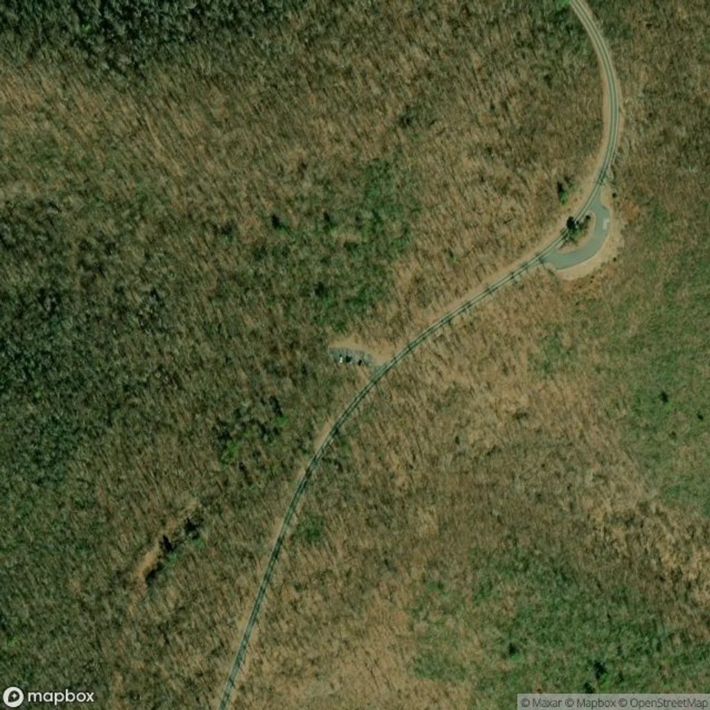
Logistics are easy: park at the Wildcat Ridge parking area on Skyline Drive at mile 92.1 (near Moormans River Overlook). The trail crosses the Appalachian Trail within a few hundred yards, which also makes the full loop tidy—you’ll return via the AT and finish on Wildcat Ridge to your car. Alternatively, many start from the Riprap lot at mile 90 for a clockwise circuit that reaches water features earlier.
Tips: waterproof boots and trekking poles help with slick rocks and fords; bring extra socks. Treat all stream water. Start early if you plan to linger at overlooks or the swimming hole. Facilities are minimal at trailheads.
Best time to hike: Spring brings cool temps, wildflowers, and stronger flows; summer is lush and the swimming hole shines (but expect humidity and bugs); fall delivers peak vistas thanks to foliage and crisp air; winter is quiet with clearer views—but ice and cold make this one for prepared, experienced hikers.
Length notes: Wildcat Ridge Trail is about 2.6 miles one way as a standalone segment. The popular Riprap–Wildcat Ridge circuit that includes Wildcat Ridge, Riprap Trail, and a return on the Appalachian Trail is roughly 9.8–9.9 miles total and commonly takes 5–8 hours depending on pace and stops.
Park at the Wildcat Ridge parking area on Skyline Drive at mile 92.1 near Moormans River Overlook; alternatively use the Riprap lot at mile 90 if doing the full loop.
Expect sustained steep grades, rocky tread, and several stream crossings that can be hazardous in high water; facilities are minimal—carry a map/GPS, treat all water, and use trekking poles for stability.
Place · 0.1 mi away
Place · 0.5 mi away
Place · 0.5 mi away
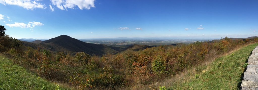
Place · 1.5 mi away
Challenging · 0 mi away
Moderate · 1.8 mi away
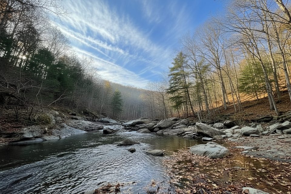
Moderate · 2.2 mi away
Moderate · 3.9 mi away

Parkwolf Tour Guide
