
Place · 0.4 mi away
Moderate
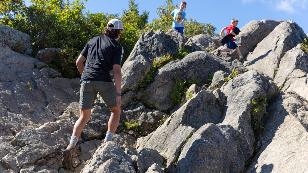
Meadow Spring is a short, blue‑blazed climb from Skyline Drive that earns its views quickly. It’s primarily used as the quickest approach to Mary’s Rock, but even on its own it’s a satisfying woods walk with a bit of park history and a namesake spring tucked into the hillside.
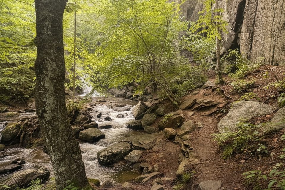
From the Meadow Spring Parking Area (mile 33.5 on Skyline Drive), carefully cross the road to start the trail. You’ll ascend almost immediately on a well‑maintained, rocky singletrack with wooden steps in steeper spots. About 0.4 miles in, you’ll pass the ruins of an old stone chimney (a great breather and a tangible reminder of pre‑park homesteads). The actual Meadow Spring is nearby. At roughly 0.6–0.7 miles, the trail meets the white‑blazed Appalachian Trail. As a standalone out‑and‑back to this junction, Meadow Spring Trail is 1.4 miles total.
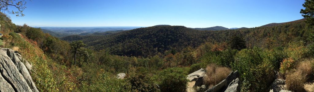
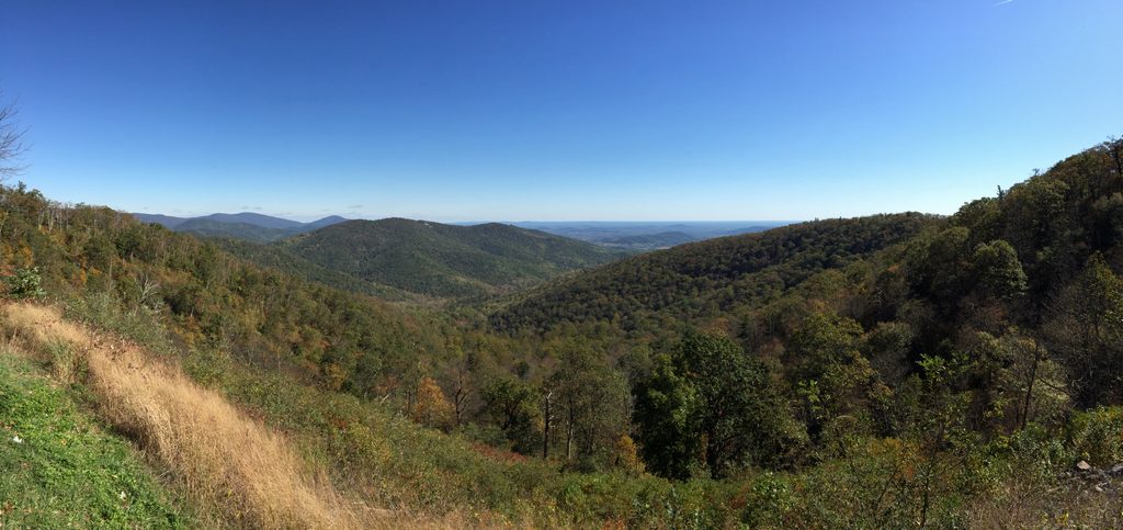
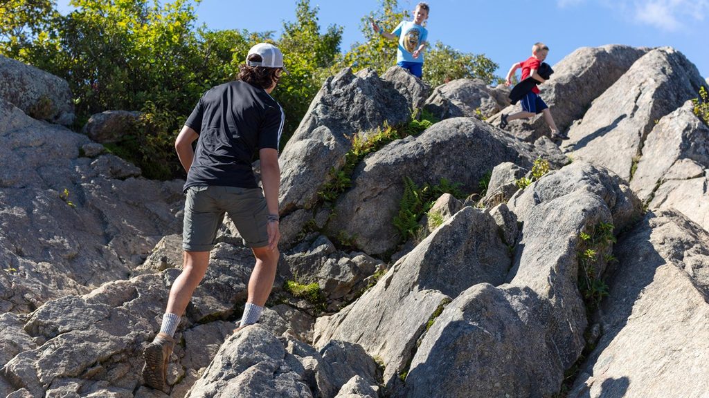
Continuing to Mary’s Rock is what most hikers come for: turn on the A.T. and follow it to the rocky summit for broad Shenandoah Valley views. That full outing via Meadow Spring is about 2.9 miles round trip with a steady, sometimes steep ascent.
Compared to the main Panorama route, this approach is shorter and typically less crowded while delivering the same excellent summit payoff. The grade is steady but manageable, and the shaded forest keeps things cooler in summer. In late spring and early summer, look for azaleas and other wildflowers lining the trail.
Spring brings wildflower color; fall lights up the forest with foliage and crisp views. Summer stays relatively cool under the canopy, though expect more company. Winter can be beautiful with clear sightlines, but ice is possible—come prepared. For quieter parking and a more peaceful trail, start early or go on weekdays.
If you want something different from the same general area, the Hazel Falls and Caves outing is another option from nearby trail connections.
Park at the Meadow Spring Parking Area on Skyline Drive (mile 33.5). The trail starts across the road; spaces are limited—arrive early on busy days.
Steep, rocky tread that can be muddy after rain; potential ice in winter. Parking is limited and you must carefully cross Skyline Drive at the trail start.
Place · 0.4 mi away
Place · 0.6 mi away
Place · 0.9 mi away
Place · 0.9 mi away
Moderate · 0 mi away

Moderate · 0 mi away
Moderate · 0 mi away

Challenging · 1.1 mi away

Parkwolf Tour Guide
