
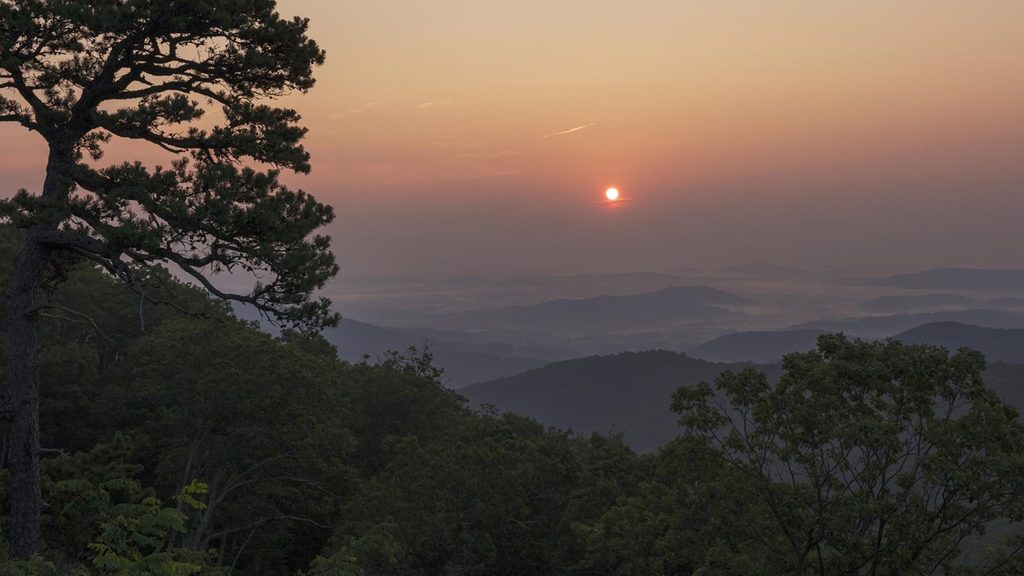
Place · 0 mi away
Moderate
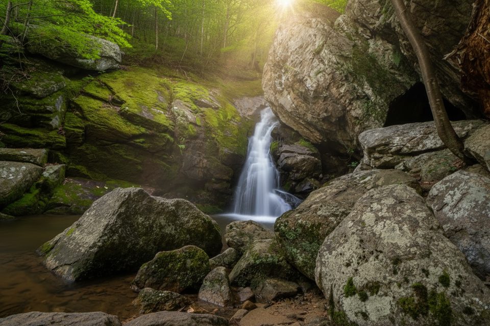
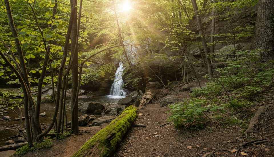
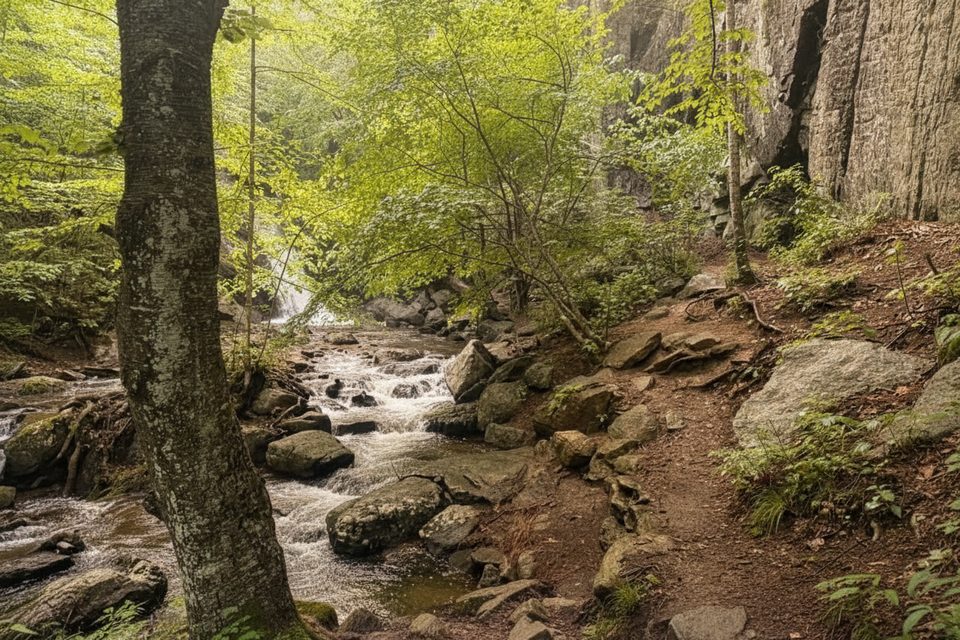
If you want a Shenandoah waterfall without the crush of people, this is your move. The Hazel River Trail delivers a mellow forest ramble to Hazel Falls (also called Cave Falls), where the river squeezes into a shady grotto with rock walls, shallow caves, and a clear pool that begs for a summer wade. Expect a quieter scene than the park’s headline waterfall hikes.
The popular outing is an out-and-back to Hazel Falls at roughly 5.2–5.6 miles total (plan on about 5.4 miles roundtrip), with around 1,000–1,070 feet of elevation gain. The walking is mostly gentle under leafy canopy, but the final approach to the falls drops steeply and can be rocky; you’ll feel that climb on the way out. The trail is well-built and well-marked (yellow and blue blazes with some stone steps), and you’ll hear and see the Hazel River and feeder runs along the way. Water levels vary—on extensions and loops you may need to ford, so waterproof footwear pays off after heavy rain.
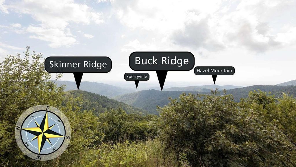
Hazel Falls is the star: a pretty cascade feeding a small, clear pool, tucked among rock formations and a couple of shallow caves right by the water. It’s a perfect shady lunch spot. If you still have gas in the tank, continue beyond the falls area toward White Rocks for airy views toward Skyline Drive and the Sperryville Valley.
Best time to hike: Spring brings wildflowers and strong flow; summer is pleasantly shaded (arrive early on weekends); fall color here pops; winter is wonderfully quiet but the steep drop to the falls can ice up—bring microspikes if it’s slick. Cell service is spotty, so download a map ahead of time. Hiking poles help on the descent and climb back out.
Bottom line: underrated and rewarding. You get waterfalls, caves, and options for bigger days without elbow-to-elbow crowds—just respect the steep final pitch and mind the water levels.
Park at Meadow Spring Parking Area near mile 33.5 on Skyline Drive; it’s small, so arrive early. Avoid low-elevation approaches via private roads—use the Skyline Drive access.
Steep, rocky final descent to the falls; slippery when wet or icy. Expect stream crossings and possible fords after heavy rain. Limited cell service—download a map. Keep dogs leashed.
Place · 0 mi away
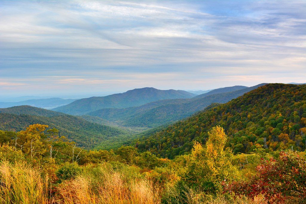
Place · 1.9 mi away
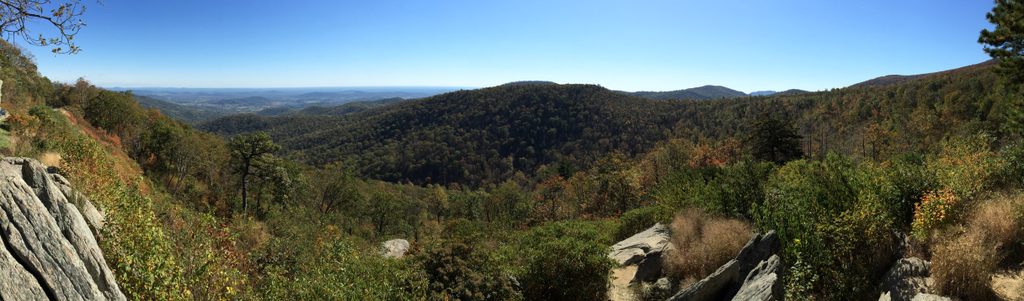
Place · 2 mi away
Place · 2.1 mi away
Challenging · 0.9 mi away
Moderate · 1.9 mi away
Moderate · 1.9 mi away
Moderate · 1.9 mi away

Parkwolf Tour Guide
