
Place · 0 mi away
Moderate
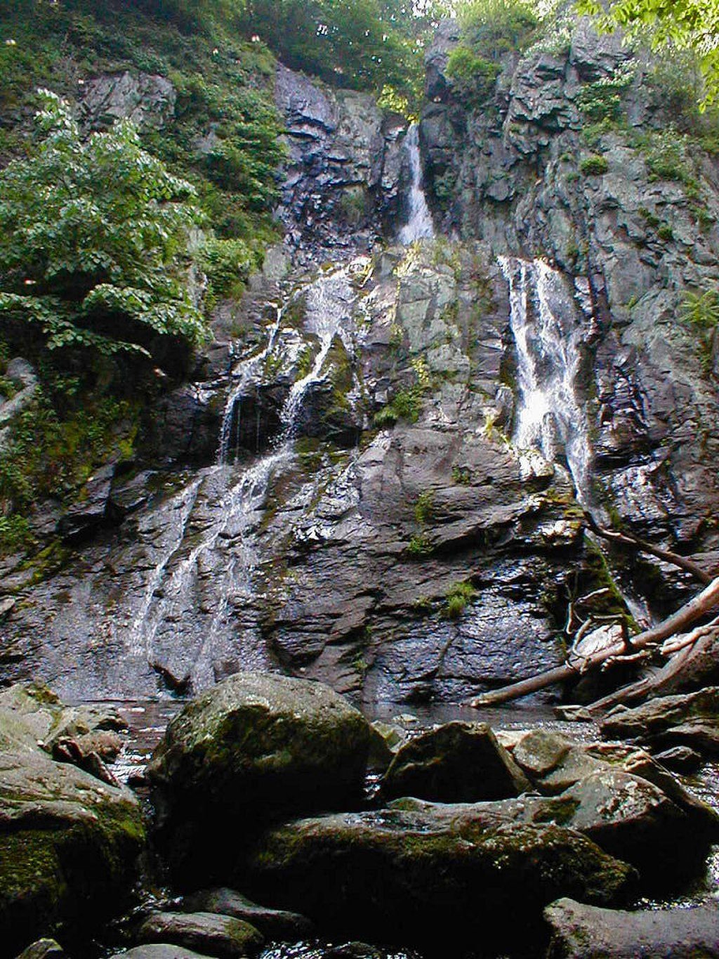
This is a rewarding 3.3-mile loop with a big payoff: South River Falls, an 83-foot cascade and one of the park’s tallest. The route is moderately strenuous thanks to steady elevation loss at the start and a stout climb to finish, but it strings together classic Shenandoah ingredients—mossy forest, lively stream sections, and a stone-walled overlook—without overstaying its welcome.
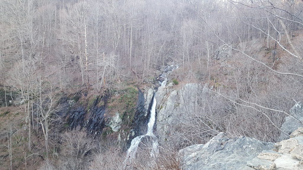
Start at the South River Picnic Area along Skyline Drive and follow the blue-blazed South River Falls Trail downhill. You’ll cross the Appalachian Trail (stay on the falls trail) and reach a signed stone overlook about 1.3–1.4 miles in for a dramatic, elevated view of the waterfall. From here, continue down to visit the base for that mist-in-your-face perspective, then loop back via the South River Fire Road and a section of the AT to close the circuit. Expect a natural dirt tread with roots and rocks, one stream crossing, and steeper, rougher footing near the base.
The scenery stays engaging: the trail often runs alongside South River with small cascades and pools, and the mixed hardwood forest is rich with spring ephemerals and ferns. Birders love this loop—late spring into early summer can bring a chorus of warblers (cerulean, Blackburnian, black-throated blue), plus tanagers and vireos. Butterflies like swallowtails and fritillaries are common, and it’s not unusual to see white-tailed deer; black bear are possible.
Best time to hike: Spring and early summer for peak waterfall flow, wildflowers, and bird activity. Fall delivers great color (flow can be lower). It’s open in winter, but ice can make the descent to the base treacherous. Summer is lush but humid and makes the climb out feel tougher. This is a popular loop—expect company, especially on weekends.
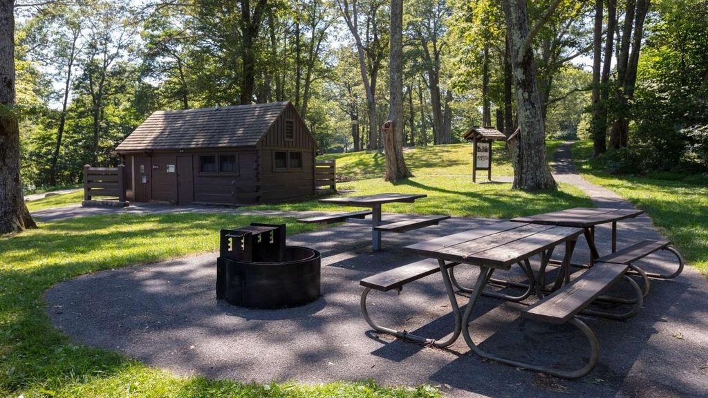
Tips: Wear waterproof footwear for the stream crossing and post-rain mud. Bring binoculars if you’re into birding. Download or carry a map since cell service can be spotty. Pets are allowed on leash (max 6 feet). There’s a park entrance fee to access Skyline Drive. The picnic area is a handy place to fuel up before or unwind after the hike. If you’re craving more exploring, longer variations beyond the standard loop exist in the area and may pass old cemeteries or historic ruins, but they’re not part of the classic 3.3-mile circuit.
Park at South River Picnic Area on Skyline Drive (around MP 62.7–62.8). Trail begins from the picnic area; signage is clear and parking is ample.
Steep, rocky sections near the falls; one stream crossing; icy conditions possible in winter; cell service is spotty and blazes can feel sparse in a few spots—carry a map.
Place · 0 mi away
Place · 0.2 mi away
Place · 1 mi away
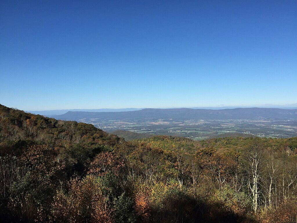
Place · 1.3 mi away

Moderate · 0 mi away
Moderate · 3.1 mi away
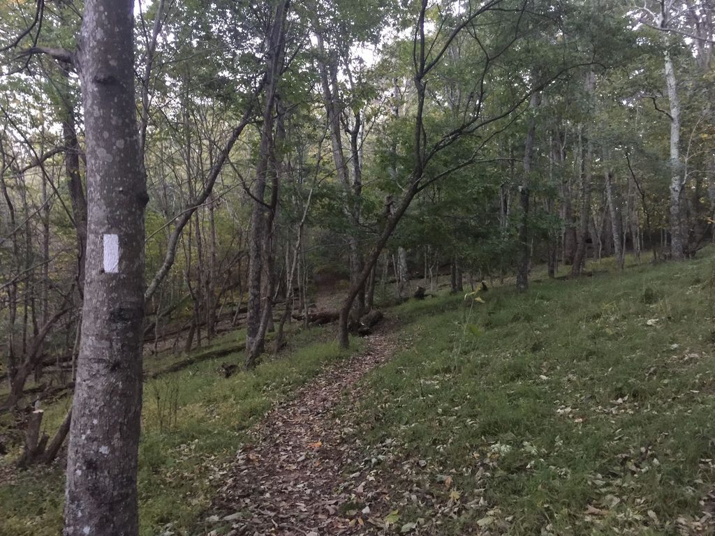
Easy · 4.4 mi away
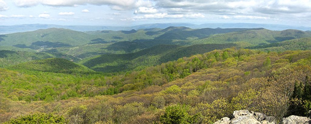
Moderate · 5.6 mi away

Parkwolf Tour Guide
