
Place · 0 mi away
Moderate
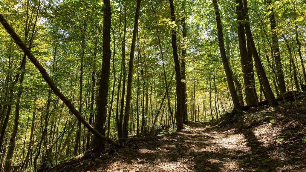
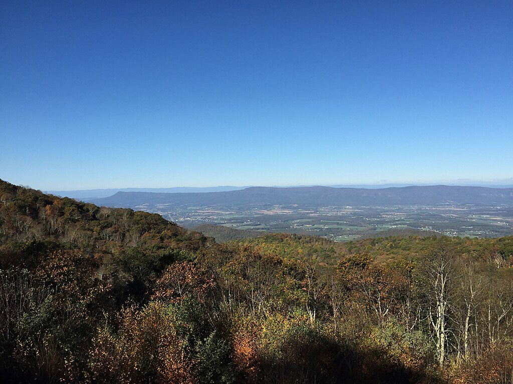
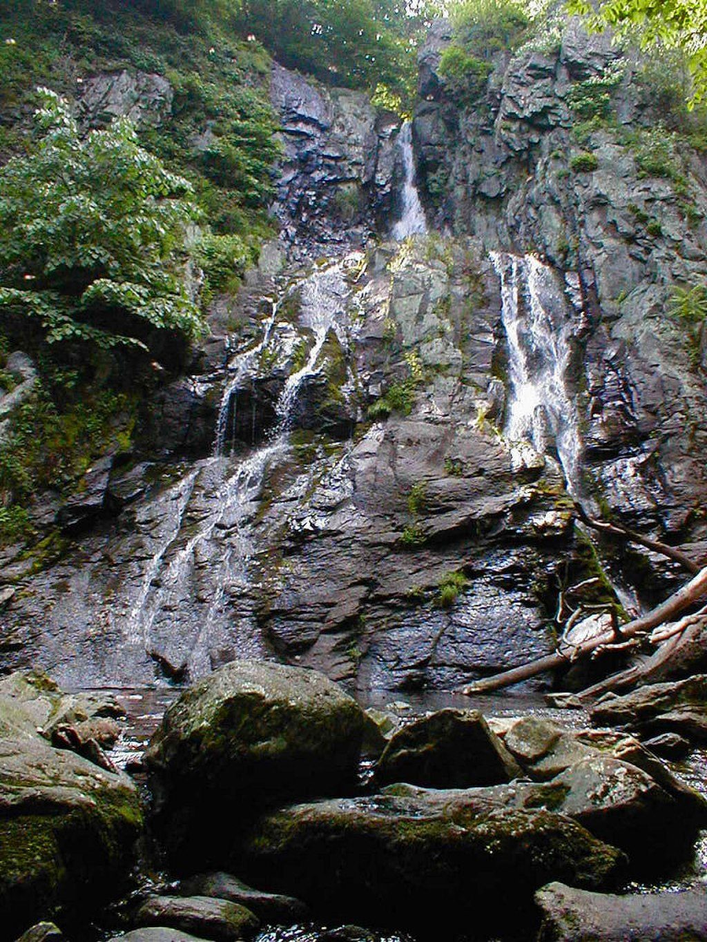
South River Falls is an 83-foot stunner—the third tallest waterfall in the park—and the trail there packs a lot into a manageable, moderate outing. Starting from the South River Picnic Area, you drop through cool, deciduous forest with ferns, mossy rocks, and a lively stream for company. Expect a classic Shenandoah experience: birdsong, cascades, and a big-payoff waterfall view.
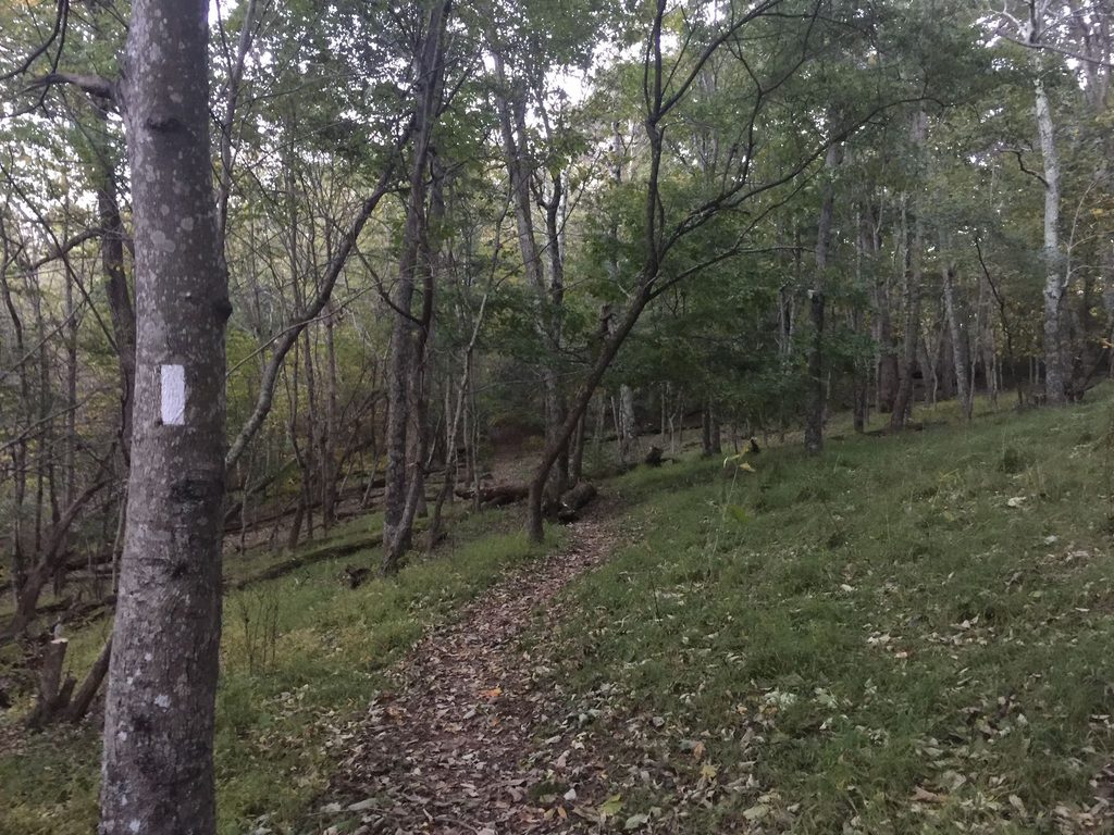
You’ve got choices. The most common circuit is a 3.3-mile loop (total) that descends to a stone-walled overlook and returns via the South River Fire Road. Prefer an out-and-back? Plan on roughly 4.3 miles (total). Short on time? The overlook alone is about 2.6 miles round trip. Elevation gain ranges roughly 900–1,200 feet, and because you start by going down, most of that work hits on the return climb. The path is well maintained but expect rocky, rooty stretches and one stream crossing; the optional spur to the base of the falls is steeper and slicker.
The river keeps you company with small cascades and pools before the main falls. Spring brings a flush of wildflowers; summer is lush and shady. This area is a standout for birdwatching—look for breeding warblers, vireos, tanagers, and grosbeaks—and butterflies like swallowtails in warm months. Deer are common; black bears are possible but typically avoid people.
Spring is prime: peak wildflowers and the waterfall at its fullest. Summer offers deep shade and the best bird activity. Fall colors can be spectacular. The trail is open in winter, but expect ice and potentially a frozen falls—beautiful, but bring traction. It’s a popular hike, so start early (especially weekends) for easier parking and a quieter overlook.
Bottom line: for a moderate half-day with big waterfall rewards, this one delivers without overcommitting your legs—just remember the climb back out is real.
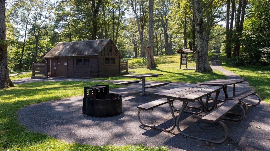
Park at the South River Picnic Area off Skyline Drive around MP 62.7–62.8; the trail starts near the third parking area by the comfort station.
Expect slick, rocky footing near the falls and a single stream crossing that can run high after rain; in winter, ice is common. The return is a steady, cardio-heavy climb.
Place · 0 mi away
Place · 0.2 mi away
Place · 1 mi away
Place · 1.3 mi away
Moderate · 0 mi away
Moderate · 3.1 mi away
Easy · 4.4 mi away
Moderate · 5.6 mi away

Parkwolf Tour Guide
